Belt Plantations
Wood, Forest in Yorkshire Scarborough
England
Belt Plantations
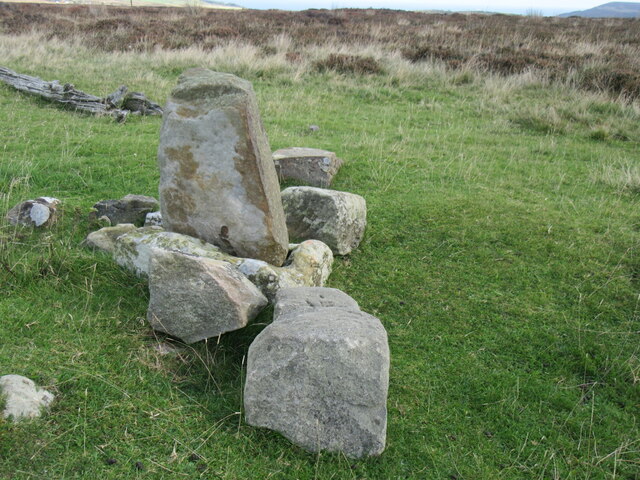
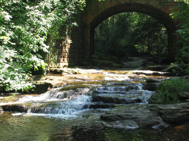
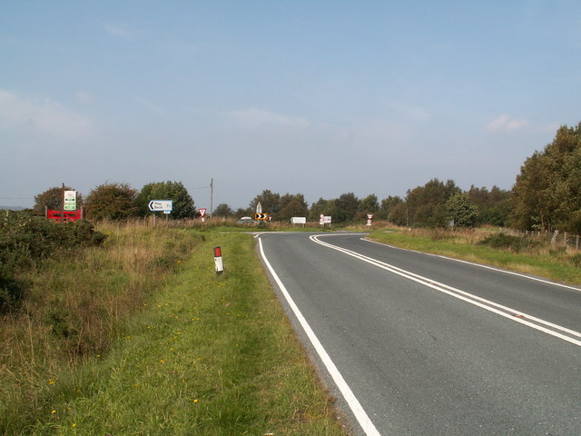
Belt Plantations is a stunning woodland area located in Yorkshire, England. Situated within the larger Yorkshire Forest, this plantation is known for its diverse and beautiful collection of trees, making it a popular destination for nature lovers and outdoor enthusiasts.
Covering an expansive area, Belt Plantations boasts a variety of tree species, including oak, beech, birch, and ash. These trees create a picturesque landscape, with their vibrant colors changing throughout the seasons. The plantation is carefully managed to ensure the health and longevity of the trees, as well as to provide a safe and enjoyable environment for visitors.
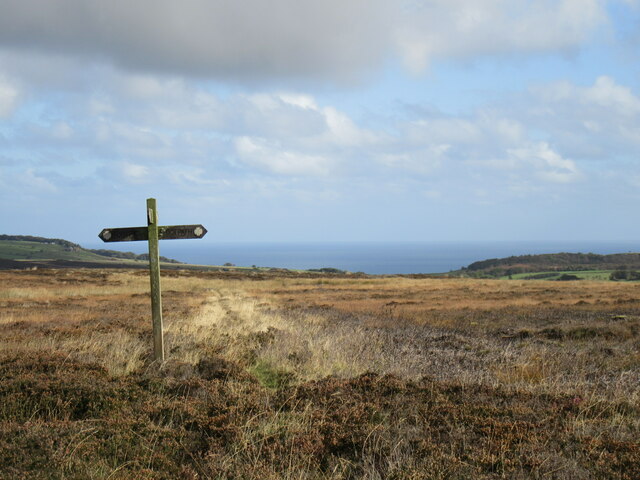
Walking trails wind through the plantation, allowing visitors to explore the area at their own pace. These well-maintained paths offer a peaceful and tranquil experience, surrounded by the sights and sounds of nature. Along the trails, informative signs provide details about the different tree species, their ecological importance, and the history of the plantation.
Belt Plantations is not only a haven for nature enthusiasts but also supports a diverse range of wildlife. Birds such as woodpeckers, owls, and songbirds can frequently be spotted among the tree branches, while small mammals like squirrels and rabbits scurry through the undergrowth. The plantation's management practices ensure that these habitats are protected and preserved.
Whether you are seeking a peaceful walk, a chance to reconnect with nature, or an opportunity to learn more about Yorkshire's forestry, Belt Plantations is a must-visit destination. Its serene atmosphere, magnificent trees, and abundant wildlife make it a true gem within the Yorkshire Forest.
If you have any feedback on the listing, please let us know in the comments section below.
Belt Plantations Images
Images are sourced within 2km of 54.427814/-0.6201238 or Grid Reference NZ8904. Thanks to Geograph Open Source API. All images are credited.


Belt Plantations is located at Grid Ref: NZ8904 (Lat: 54.427814, Lng: -0.6201238)
Division: North Riding
Administrative County: North Yorkshire
District: Scarborough
Police Authority: North Yorkshire
What 3 Words
///dripped.playfully.aunts. Near Sleights, North Yorkshire
Nearby Locations
Related Wikis

Woodsmith Mine
Woodsmith Mine is a deep potash and polyhalite mine located near to the hamlet of Sneatonthorpe, Whitby in North Yorkshire, England. The venture was started...
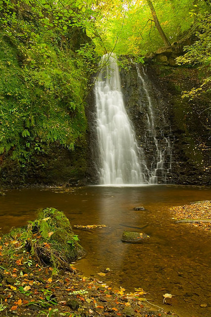
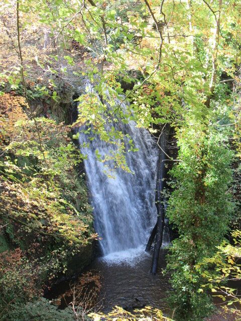
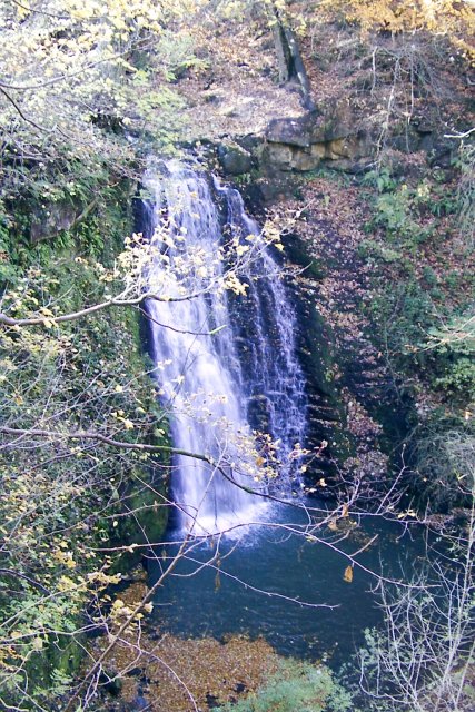
Falling Foss
Falling Foss is a waterfall that lies in the north-east section of The North York Moors National Park and is a popular spot for walking. It is 5 miles...

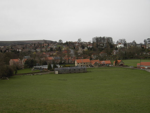
Littlebeck, North Yorkshire
Littlebeck is a hamlet in the North York Moors National Park, near Whitby, in North Yorkshire, England. It stands on the Little Beck, a minor tributary...
Eskdaleside cum Ugglebarnby
Eskdaleside cum Ugglebarnby is a civil parish in the Scarborough district of North Yorkshire, England, comprising the two villages of Sleights and Ugglebarnby...
Sneaton
Sneaton is a village and civil parish in the Scarborough district of North Yorkshire, England. There is a church which is dedicated to St Hilda. According...

Hawsker-cum-Stainsacre
Hawsker-cum-Stainsacre is a civil parish in the Scarborough district of North Yorkshire, England. According to the 2011 UK census, Hawsker-cum-Stainsacre...

Whitby Rural District
Whitby Rural District was a rural district governed from Whitby for its surrounding area in the North Riding of Yorkshire administrative county from 1894...
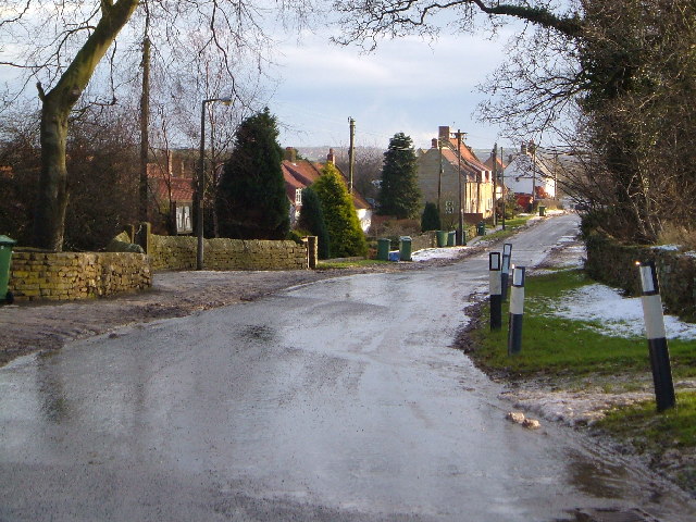
Sleights
Sleights is a village in North Yorkshire, England. Located in the Esk Valley in the postal region of Whitby, the village is part of the civil parish of...
Nearby Amenities
Located within 500m of 54.427814,-0.6201238Have you been to Belt Plantations?
Leave your review of Belt Plantations below (or comments, questions and feedback).