Scally Moor Plantation
Wood, Forest in Yorkshire Ryedale
England
Scally Moor Plantation
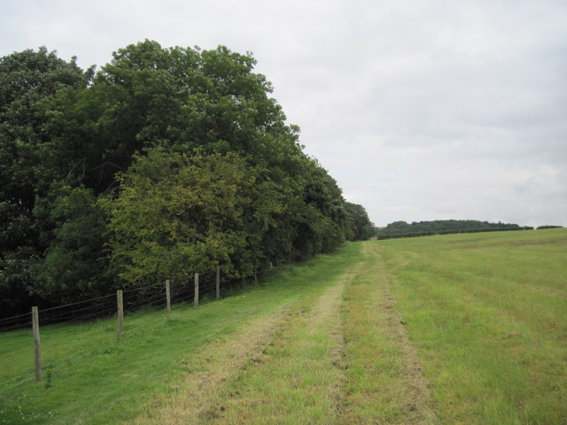
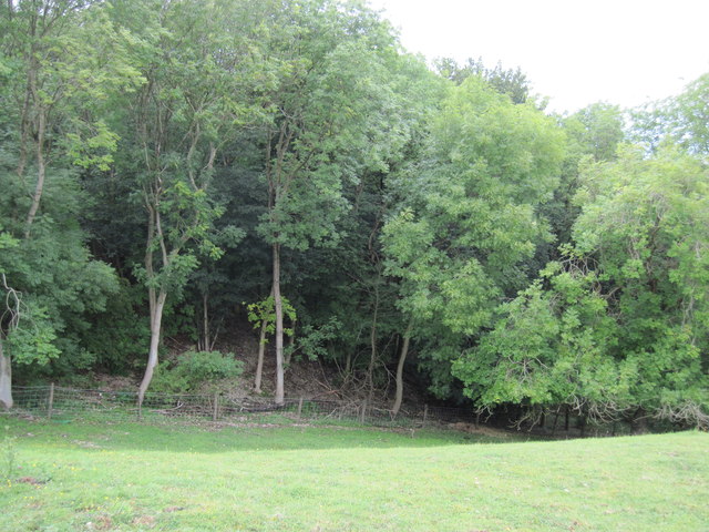
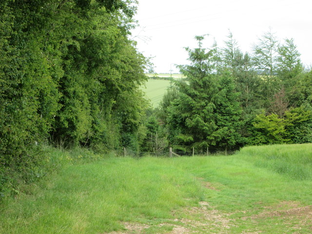
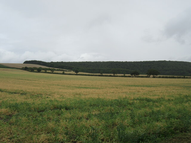
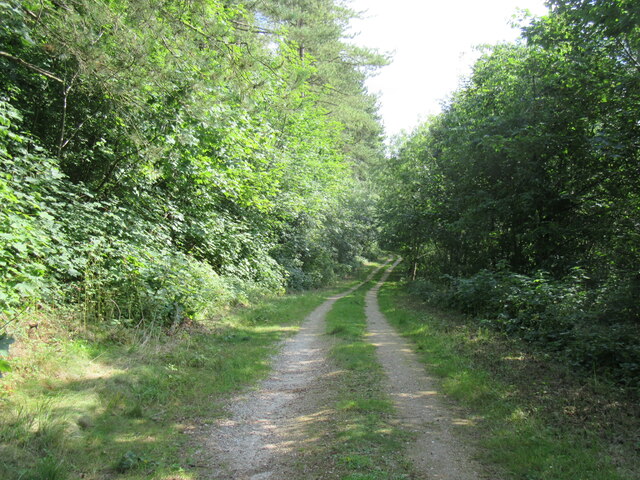
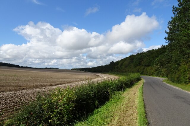
Scally Moor Plantation is a picturesque woodland located in Yorkshire, England. Situated in the heart of the county, the plantation covers a vast area of approximately 500 acres. It is known for its diverse collection of trees and thriving wildlife, making it a popular destination for nature enthusiasts and outdoor enthusiasts alike.
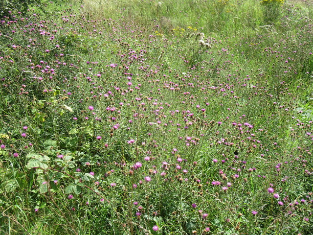
The plantation is predominantly composed of native deciduous trees such as oak, beech, and birch, which offer a stunning display of colors during the autumn months. These trees provide a natural habitat for a wide range of wildlife, including deer, foxes, and a variety of bird species. It is not uncommon to spot a red squirrel scurrying among the branches or catching a glimpse of a rare bird species.
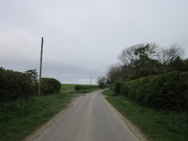
Scally Moor Plantation offers numerous walking trails and paths for visitors to explore the woodland. These trails cater to all levels of fitness and provide an opportunity to immerse oneself in the tranquility of nature. The plantation is also a popular spot for picnics and family outings, with designated areas equipped with benches and picnic tables.
Additionally, Scally Moor Plantation is committed to sustainable forest management practices. It actively participates in reforestation projects and works to maintain the ecological balance of the woodland. This dedication to conservation makes it an ideal destination for those interested in learning about environmental preservation.
Overall, Scally Moor Plantation in Yorkshire is a captivating woodland that offers a serene escape from the bustling city life. With its rich biodiversity and commitment to conservation, it provides a delightful experience for all who visit.
If you have any feedback on the listing, please let us know in the comments section below.
Scally Moor Plantation Images
Images are sourced within 2km of 54.147156/-0.63057494 or Grid Reference SE8973. Thanks to Geograph Open Source API. All images are credited.

Scally Moor Plantation is located at Grid Ref: SE8973 (Lat: 54.147156, Lng: -0.63057494)
Division: East Riding
Administrative County: North Yorkshire
District: Ryedale
Police Authority: North Yorkshire
What 3 Words
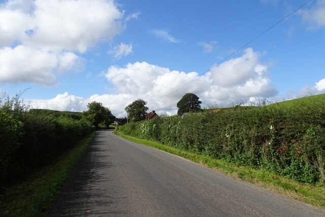
///instant.cold.solicitor. Near Rillington, North Yorkshire
Nearby Locations
Related Wikis

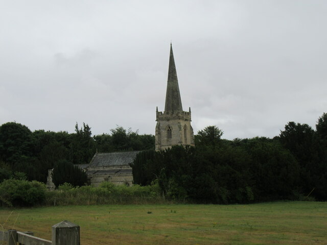
St Peter's Church, Wintringham
St Peter's Church is a redundant Anglican church in the village of Wintringham, North Yorkshire, England (grid reference SE 887 731). It is recorded in...

Wintringham, North Yorkshire
Wintringham is a village and civil parish in North Yorkshire, England. The village is near the A64 road and 6 miles (9.7 km) east of Malton. Two long...

West Knapton
West Knapton is a small village in the civil parish of Scampston, in North Yorkshire, England. It is situated on the edge of the Yorkshire Wolds at the...

East Knapton
East Knapton is a village in the civil parish of Scampston, in North Yorkshire, England. Until 1974 the village lay in the historic county boundaries of...
Nearby Amenities
Located within 500m of 54.147156,-0.63057494Have you been to Scally Moor Plantation?
Leave your review of Scally Moor Plantation below (or comments, questions and feedback).