Ann's Wood

Wood, Forest in Northamptonshire

England

Ann's Wood

The Garage Door Centre, Meadow Close One of the light industrial units on Meadow Close.
The Garage Door Centre, Meadow Close Credit: David P Howard

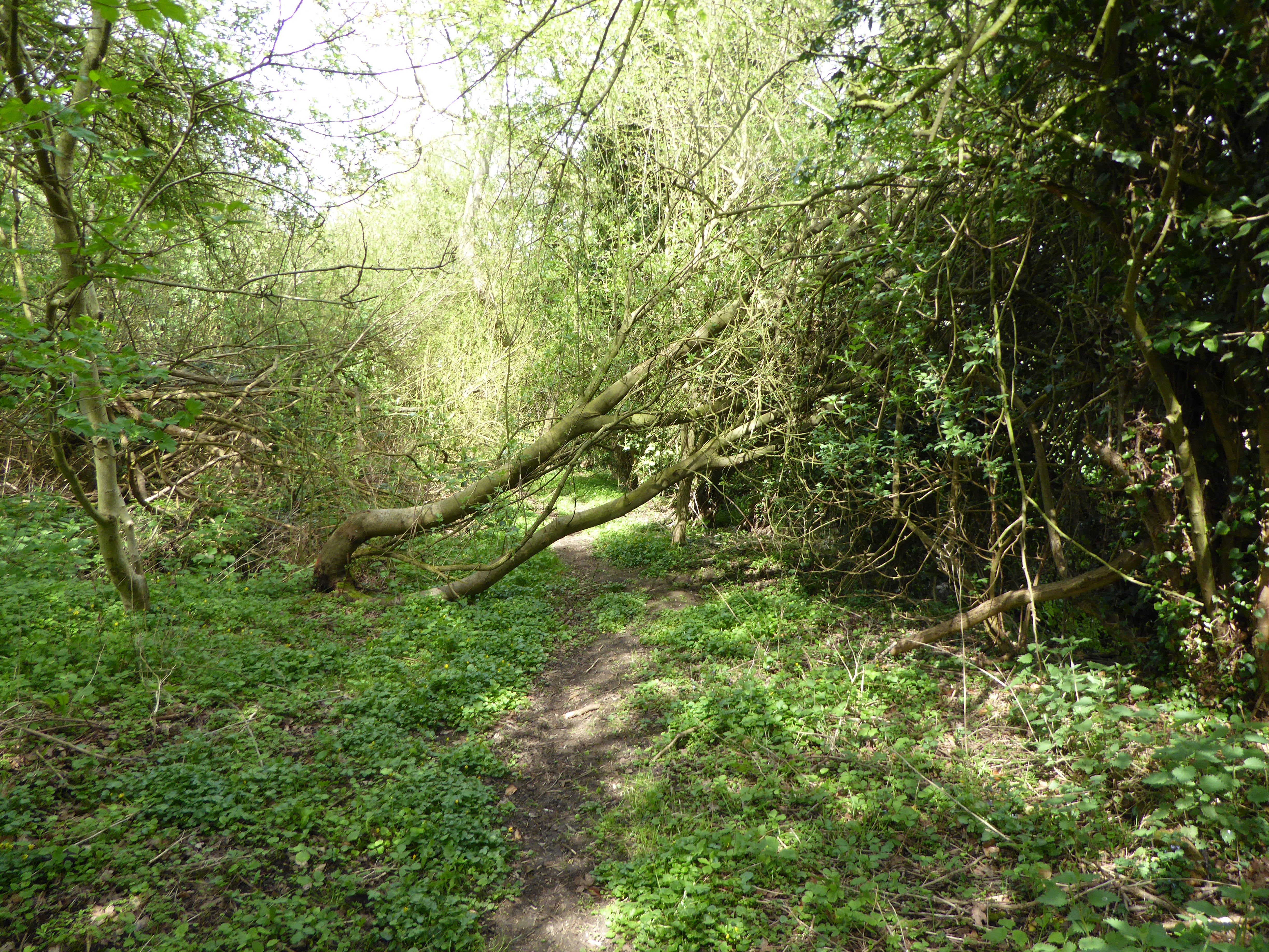
Ann's Wood is a picturesque woodland located in Northamptonshire, England. Covering an area of approximately 50 acres, it is a popular destination for nature enthusiasts and hikers alike. The wood is named after Ann, the wife of the original landowner who donated the land to the local community in the early 20th century.

The woodland is predominantly comprised of native broadleaf trees, including oak, ash, and beech, which provide a rich and diverse habitat for a variety of wildlife. Visitors to Ann's Wood can expect to see a plethora of bird species, such as woodpeckers, thrushes, and owls, as well as small mammals like squirrels and rabbits.

Tranquil walking trails wind through the wood, offering visitors the chance to explore its natural beauty at their own pace. These paths are well-maintained and clearly marked, ensuring a safe and enjoyable experience for all. The wood also features a designated picnic area, complete with benches and tables, making it an ideal spot for a leisurely lunch surrounded by nature.

In addition to its natural beauty, Ann's Wood holds historical significance. Remnants of an ancient Roman road can still be seen within the woodland, serving as a reminder of the area's rich past. Archaeological excavations have also uncovered artifacts dating back to the Iron Age, further enhancing its historical value.

Ann's Wood is open to the public year-round and is free to visit. Its serene atmosphere and stunning scenery make it a must-visit destination for anyone seeking a peaceful and immersive woodland experience in Northamptonshire.

If you have any feedback on the listing, please let us know in the comments section below.
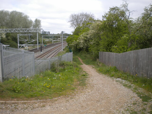
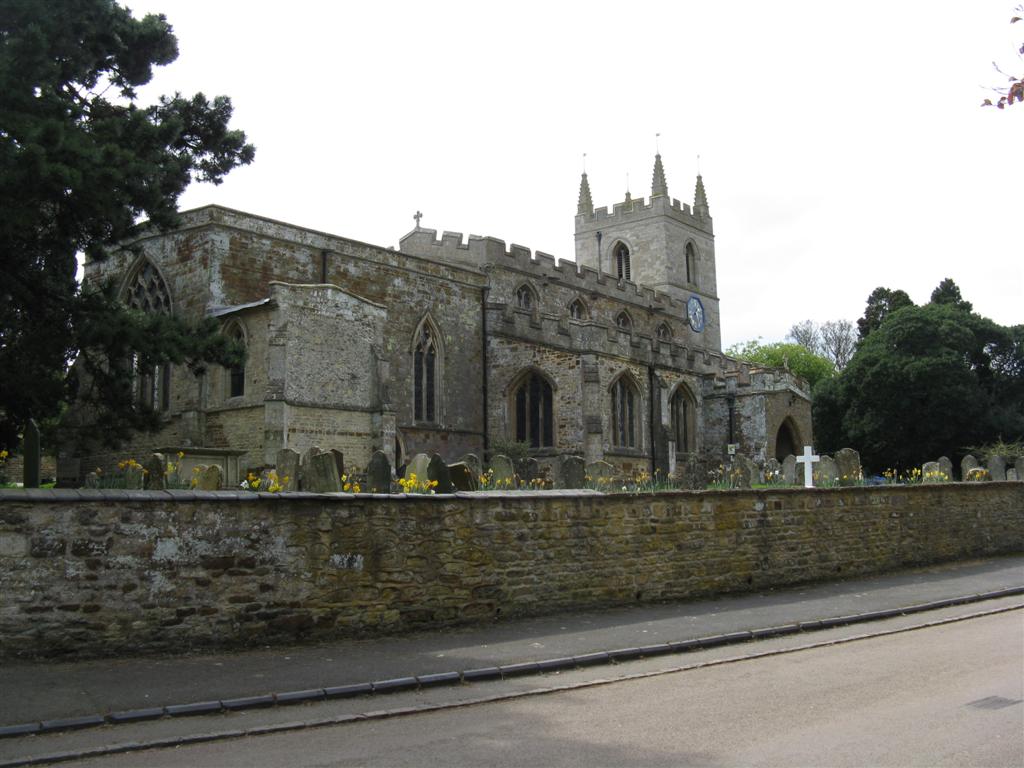
Ann's Wood Images

Images are sourced within 2km of 52.330078/-0.69111392 or Grid Reference SP8971. Thanks to Geograph Open Source API. All images are credited.

The Garage Door Centre, Meadow Close One of the light industrial units on Meadow Close.
The Garage Door Centre, Meadow Close
One of the light industrial units on Meadow Close.
Finedon Road Industrial Estate View NNE along Meadow Close.
Finedon Road Industrial Estate
View NNE along Meadow Close.
Harrowden Hall The boundary wall to Harrowden Hall, with the western wall of the chapel within the grounds.
Harrowden Hall
The boundary wall to Harrowden Hall, with the western wall of the chapel within the grounds.
The Slips Oilseed rape fields near the railway line north of Wellingborough.
The Slips
Oilseed rape fields near the railway line north of Wellingborough.
All Saints Church, Great Harrowden
Site of Finedon station, 1993 View northward, towards Kettering and the North: ex-Midland main line from London St Pancras. The station was closed to passengers in the War (2/12/40), to goods from 6/7/64. This was one of the busiest sections of the Midland main line, with four tracks as far as Kettering until about 1970.
Site of Finedon station, 1993
View northward, towards Kettering and the North: ex-Midland main line from London St Pancras. The station was closed to passengers in the War (2/12/40), to goods from 6/7/64. This was one of the busiest sections of the Midland main line, with four tracks as far as Kettering until about 1970.
Entrance to Great Harrowden
Replacing railway bridge
Public bridleway towards Finedon north east of Wellingborough Descending from Bush Bridge to parallel the Midland Main Line for a short distance before bearing slightly north. This part of the Midland Main Line has only been electrified in the last few years, hence the nice and shiny overhead line equipment. The work also involved reinstatement of the fourth track here.
Public bridleway towards Finedon north east of Wellingborough
Descending from Bush Bridge to parallel the Midland Main Line for a short distance before bearing slightly north. This part of the Midland Main Line has only been electrified in the last few years, hence the nice and shiny overhead line equipment. The work also involved reinstatement of the fourth track here.
Bush Bridge, north east of Wellingborough Carrying a public bridleway across the Midland Main Line. The bridge was rebuilt a few years ago in preparation for the electrification of the railway, hence the high parapets; it has already acquired a fair covering of graffiti despite its rather out of the way location.
Bush Bridge, north east of Wellingborough
Carrying a public bridleway across the Midland Main Line. The bridge was rebuilt a few years ago in preparation for the electrification of the railway, hence the high parapets; it has already acquired a fair covering of graffiti despite its rather out of the way location.
Midland Main Line north of Wellingborough Looking towards Wellingborough station (about a mile and a half up the line) and London from the bridleway approaching Bush Bridge. This part of the Midland Main Line has only been electrified in the last few years, hence the nice and shiny overhead line equipment. The work also involved reinstatement of the fourth track here. The yellow railings are alongside a Network Rail access path, which leads to a set of sidings just visible in the distance.
Midland Main Line north of Wellingborough
Looking towards Wellingborough station (about a mile and a half up the line) and London from the bridleway approaching Bush Bridge. This part of the Midland Main Line has only been electrified in the last few years, hence the nice and shiny overhead line equipment. The work also involved reinstatement of the fourth track here. The yellow railings are alongside a Network Rail access path, which leads to a set of sidings just visible in the distance.
Fairly Major Roundabout This junction carries Niort Way, Northen Way, Harrowden Road, Kettering Road and the minor Wellingborough Road.  The photo was taken from Kettering Road.
Fairly Major Roundabout
This junction carries Niort Way, Northen Way, Harrowden Road, Kettering Road and the minor Wellingborough Road. The photo was taken from Kettering Road.
Bridge over Harrowden Road Near the Redwell Leisure Centre.
Bridge over Harrowden Road
Near the Redwell Leisure Centre.
The Hope Centre On the Hemingwell Estate and incorporates the New Life Church.
The Hope Centre
On the Hemingwell Estate and incorporates the New Life Church.
Bridge over Nest Farm Road In the Hemmingwell Housing Estate.
Bridge over Nest Farm Road
In the Hemmingwell Housing Estate.
Finedon Rd Industrial Estate From Rixon Road, part of the A510.
Finedon Rd Industrial Estate
From Rixon Road, part of the A510.
Ise Valley Looking NE.  Finedon Church steeple can just be seen in the far distance.
Ise Valley
Looking NE. Finedon Church steeple can just be seen in the far distance.
Siding Part of a Midland Main Line complex.
Siding
Part of a Midland Main Line complex.
Show me another place!

Ann's Wood is located at Grid Ref: SP8971 (Lat: 52.330078, Lng: -0.69111392)

Unitary Authority: North Northamptonshire

Police Authority: Northamptonshire

What 3 Words

///curl.traded.ranch. Near Finedon, Northamptonshire

Related Wikis

Finedon Cally Banks

Finedon Cally Banks is a 2.5-hectare (6.2-acre) nature reserve north-east of Wellingborough in Northamptonshire. It is managed by the Wildlife Trust for...

Redhill Grange

Redhill Grange or (Redhill) is a purpose-built settlement in Wellingborough, Northamptonshire. It is situated just north from the Redwell area in the market...

Great Harrowden

Great Harrowden is a village and civil parish in North Northamptonshire, with a population (including Hardwick) at the 2011 census of 161. The village...

Hemmingwell

Hemmingwell is a medium sized, densely populated council estate in Wellingborough, Northamptonshire, England. The area had a population of 8,272 at the...

Neilson's Tramway

Neilson's Tramway was a British industrial narrow-gauge railway which operated from 1881 to 1929. == History == Walter Neilson was a farmer who owned land...

Finedon railway station

Finedon railway station was built by the Midland Railway in 1857 on its extension from Leicester to Bedford and Hitchin. It had one island platform. Being...
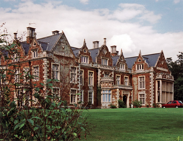
Finedon Hall

Finedon Hall is a Victorian country house in Finedon, Northamptonshire. It is a Grade II listed building. == History == The core of the house is 17th or...

Finedon Dolben Cricket Club

Finedon Dolben Cricket Club is an amateur cricket club based in Finedon, Northamptonshire, England. Finedon Dolben have 4 senior XI teams in the Northamptonshire...

Nearby Amenities

Located within 500m of 52.330078,-0.69111392
Railway: switch
Lat/Long: 52.3292008/-0.6839279
Railway: switch
Lat/Long: 52.3300347/-0.6842217
Power: pole
Lat/Long: 52.3273646/-0.6956151
Power: pole
Lat/Long: 52.3277371/-0.6944535
Power: pole
Lat/Long: 52.3280941/-0.6933424
Power: pole
Lat/Long: 52.3284511/-0.6921589
Power: pole
Lat/Long: 52.3285909/-0.6915841
Power: pole
Lat/Long: 52.3288549/-0.6915363
The data included in this document is from www.openstreetmap.org. The data is made available under ODbL.

Have you been to Ann's Wood?

Leave your review of Ann's Wood below (or comments, questions and feedback).