Housham Wood
Wood, Forest in Lincolnshire North Kesteven
England
Housham Wood
Housham Wood is a picturesque forest located in the county of Lincolnshire, England. Covering an area of approximately 500 acres, it is a well-preserved woodland that offers a serene escape from the hustle and bustle of modern life.
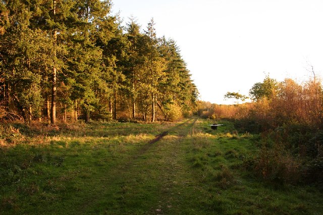
The forest is characterized by its diverse range of tree species, including oak, beech, and birch. These tall, majestic trees provide a dense canopy that offers shade during the summer months and a stunning display of colors during the autumn season. The forest floor is carpeted with a rich variety of flora, including bluebells, wild garlic, and ferns, adding to the charm and beauty of the woodland.
Housham Wood is home to a wide array of wildlife, making it a haven for nature enthusiasts and wildlife photographers. Visitors may spot deer, foxes, rabbits, and a variety of bird species, including woodpeckers and owls. The forest is also a popular habitat for butterflies and insects, providing ample opportunities for close encounters with these fascinating creatures.
The forest is crisscrossed with a network of well-maintained walking trails, allowing visitors to explore the woodland at their own pace. These trails offer stunning views of the surrounding countryside, and there are designated picnic areas where visitors can enjoy a leisurely lunch amidst the tranquil surroundings.
Housham Wood is a site of significant historical and cultural importance. It is believed to have been in existence since medieval times and has been mentioned in various historical documents. The forest has also served as the backdrop for several local legends and folklore, adding to its mystique and allure.
Overall, Housham Wood in Lincolnshire is a hidden gem, offering visitors a chance to immerse themselves in nature, discover its rich biodiversity, and experience the tranquility of a well-preserved woodland.
If you have any feedback on the listing, please let us know in the comments section below.
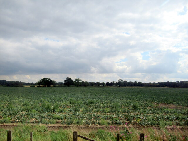
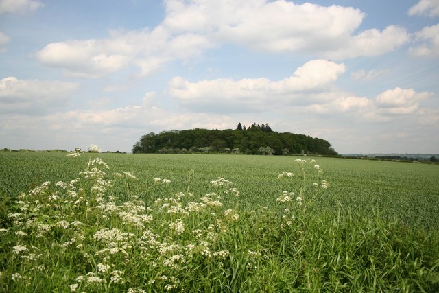
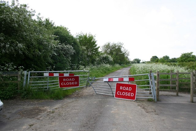
Housham Wood Images
Images are sourced within 2km of 53.170711/-0.66898332 or Grid Reference SK8964. Thanks to Geograph Open Source API. All images are credited.


Housham Wood is located at Grid Ref: SK8964 (Lat: 53.170711, Lng: -0.66898332)
Administrative County: Lincolnshire
District: North Kesteven
Police Authority: Lincolnshire
What 3 Words
///adhesive.coping.debt. Near Bassingham, Lincolnshire
Nearby Locations
Related Wikis
Tunman Wood
Tunman Wood is a local nature reserve with an area of over 53 ha (130 acres) located near Eagle Barnsdale, Lincolnshire. It is an area of ancient woodland...

Eagle Barnsdale
Eagle Barnsdale is a village in the North Kesteven district of Lincolnshire, England. The population can be found included in the civil parish of Eagle...
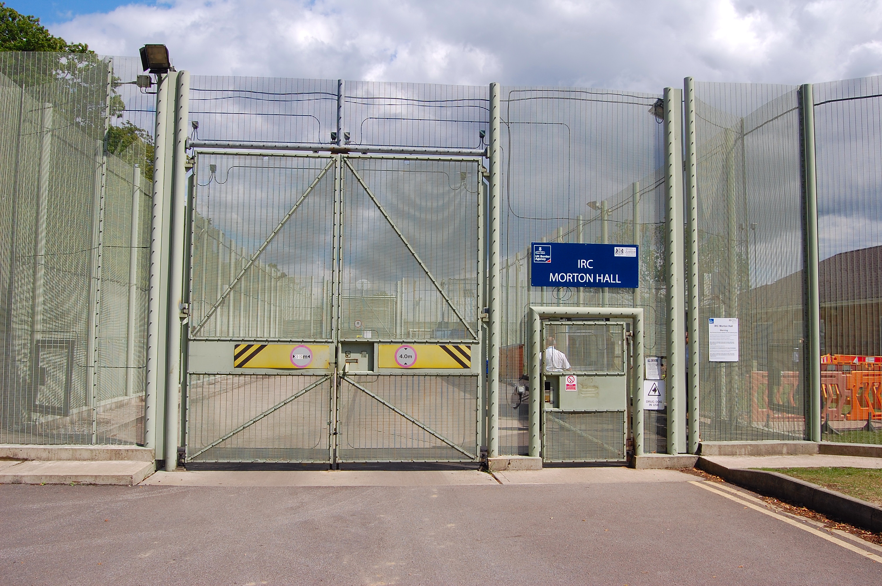
HM Prison Morton Hall
HM Prison Morton Hall is a Category C men's prison, located in the village of Morton Hall (near Lincoln) in Lincolnshire, England. The centre is operated...

Morton Hall
Morton Hall is a small village in the civil parish of Swinderby , in the North Kesteven district of Lincolnshire, England. It is situated 8 miles (13 km...
Nearby Amenities
Located within 500m of 53.170711,-0.66898332Have you been to Housham Wood?
Leave your review of Housham Wood below (or comments, questions and feedback).