Firholt Plantation

Wood, Forest in Lincolnshire North Kesteven

England

Firholt Plantation

Swinderby Trig Point Flush Bracket S4628
Swinderby Trig Point Flush Bracket S4628 Credit: thejackrustles

Firholt Plantation is a sprawling woodland area located in Lincolnshire, England. Covering a vast expanse of approximately 500 acres, this plantation is a cherished natural treasure and a popular destination for nature enthusiasts and outdoor enthusiasts alike.

The plantation is characterized by its dense growth of various tree species, including oak, ash, beech, and birch. The diverse range of trees creates a rich and vibrant ecosystem, supporting a wide array of flora and fauna. Visitors to Firholt Plantation can witness the seasonal beauty of the woodland, from the vibrant greens of spring and summer to the golden hues of autumn.

The plantation also boasts several well-maintained walking trails, allowing visitors to explore the enchanting woodland at their own pace. These trails wind through the plantation, offering breathtaking views of the surrounding countryside and providing ample opportunities for birdwatching and wildlife spotting.

Firholt Plantation is not only a haven for nature enthusiasts but also serves as an important habitat for numerous species. It provides a sanctuary for various woodland creatures, including deer, squirrels, rabbits, and a wide variety of bird species. The plantation's commitment to conservation and preservation has earned it recognition as a Site of Special Scientific Interest.

In addition to its natural beauty, Firholt Plantation also holds historical significance. The plantation has been in existence for several centuries, with records dating back to the 17th century. Its rich history adds to the charm and allure of this woodland gem.

Overall, Firholt Plantation in Lincolnshire offers a tranquil escape into nature, providing a haven for wildlife and a peaceful retreat for visitors seeking solace amidst the beauty of the woodland.

If you have any feedback on the listing, please let us know in the comments section below.

Firholt Plantation Images

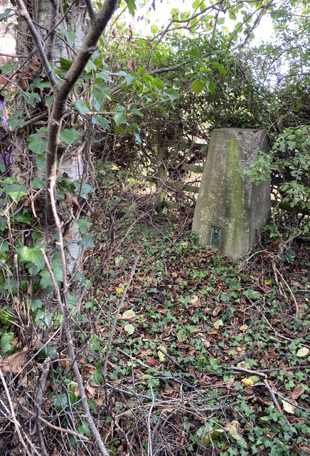
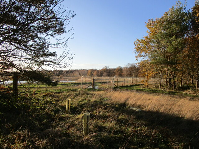
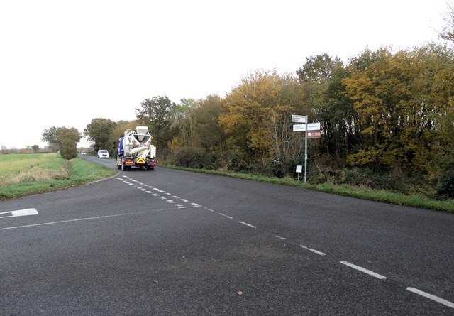
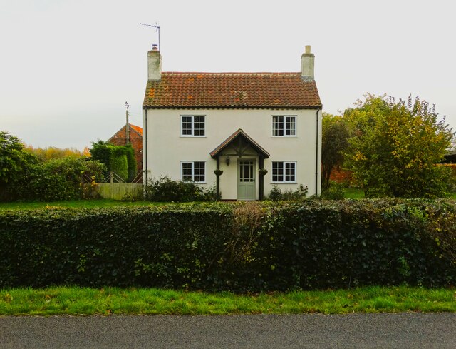
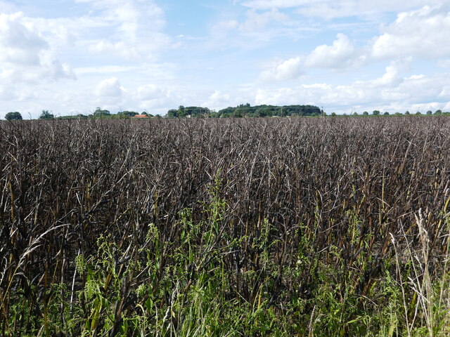
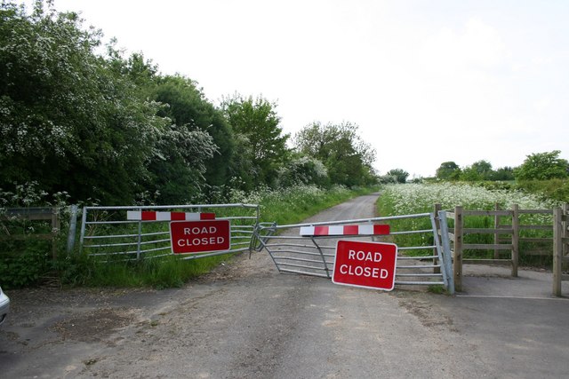
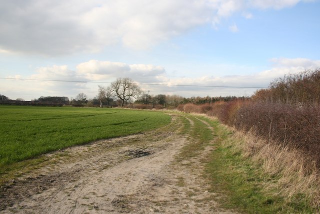
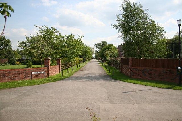
Images are sourced within 2km of 53.148726/-0.67014166 or Grid Reference SK8962. Thanks to Geograph Open Source API. All images are credited.

Swinderby Trig Point Flush Bracket S4628
Disused workings off Swinderby Road Former sand and gravel pit now partly flooded and partly planted with trees. No public access.
Disused workings off Swinderby Road
Former sand and gravel pit now partly flooded and partly planted with trees. No public access.
Swinderby Road Looking towards Norton Disney.
Swinderby Road
Looking towards Norton Disney.
Road junction south of Witham St Hughs
Greengate Farm in the parish of Thurlby
Norton Lane, Thurlby Moor
Thurlby Lake Formed  at old gravel workings
Thurlby Lake
Formed at old gravel workings
Merry Christmas Festive lights on Oak Tree Drive, Witham St. Hughs
Merry Christmas
Festive lights on Oak Tree Drive, Witham St. Hughs
Entrance to the churchyard, Thurlby
Bean field near Haddington High Walks Farm in the distance.
Bean field near Haddington
High Walks Farm in the distance.
Remains of the churchyard cross, Thurlby Medieval but of indeterminate age <span class="nowrap"><a title="https://historicengland.org.uk/listing/the-list/list-entry/1013082?section=official-list-entry" rel="nofollow ugc noopener" href="https://historicengland.org.uk/listing/the-list/list-entry/1013082?section=official-list-entry">Link</a><img style="margin-left:2px;" alt="External link" title="External link - shift click to open in new window" src="https://s1.geograph.org.uk/img/external.png" width="10" height="10"/></span>
Remains of the churchyard cross, Thurlby
Medieval but of indeterminate age LinkExternal link
Door in a hedge, Thurlby
St Germain's church, Thurlby Largely of the thirteenth century but much restored <span class="nowrap"><a title="https://historicengland.org.uk/listing/the-list/list-entry/1061972?section=official-list-entry" rel="nofollow ugc noopener" href="https://historicengland.org.uk/listing/the-list/list-entry/1061972?section=official-list-entry">Link</a><img style="margin-left:2px;" alt="External link" title="External link - shift click to open in new window" src="https://s1.geograph.org.uk/img/external.png" width="10" height="10"/></span>
St Germain's church, Thurlby
Largely of the thirteenth century but much restored LinkExternal link
The path to St Germain's church, Thurlby
Trees in  the gloaming south of Moor Lane
Trees in the gloaming south of Moor Lane
St.Germain's church, Thurlby, Lincs. A medieval church with a dark interior full of monuments to the Bromheads who lived at Thurlby Hall. Amongst the many distinguished military careers was Gonville Bromhead VC played by Michael Caine in the film 'Zulu'.
St.Germain's church, Thurlby, Lincs.
A medieval church with a dark interior full of monuments to the Bromheads who lived at Thurlby Hall. Amongst the many distinguished military careers was Gonville Bromhead VC played by Michael Caine in the film 'Zulu'.
Stone Lane Stone Lane used to run from Haddington to the Fosseway, once the A46 was made dual carriageway, the road was closed.
Stone Lane
Stone Lane used to run from Haddington to the Fosseway, once the A46 was made dual carriageway, the road was closed.
Parish Boundary This hedgeline at Thurlby forms the parish boundary
Parish Boundary
This hedgeline at Thurlby forms the parish boundary
Show me another place!

Firholt Plantation is located at Grid Ref: SK8962 (Lat: 53.148726, Lng: -0.67014166)

Administrative County: Lincolnshire

District: North Kesteven

Police Authority: Lincolnshire

What 3 Words

///twitchy.fearfully.imitate. Near Bassingham, Lincolnshire

Related Wikis

Witham St Hughs

Witham St Hughs is a village in the Parish of Thurlby in the North Kesteven district of Lincolnshire, England. The population of the civil parish (including...

RAF Swinderby

Royal Air Force Swinderby or more simply RAF Swinderby is a former Royal Air Force station airfield opened in 1940, one of the last of the stations completed...

Thurlby, North Kesteven

Thurlby is a village and civil parish in the North Kesteven district of Lincolnshire, England, about 9 miles (14 km) south-west of the city of Lincoln...

Swinderby

Swinderby is a village and civil parish in the North Kesteven district of Lincolnshire, England. The village is situated just north of the A46 road, 8...

Nearby Amenities

Located within 500m of 53.148726,-0.67014166
Leisure: playground
Lat/Long: 53.1494523/-0.6640903
Parking
Lat/Long: 53.1502193/-0.6653777
Shop: convenience
Lat/Long: 53.14972/-0.6654979
Fast Food
Taj Mahal Indian Take-Away
Lat/Long: 53.1498178/-0.6655408
Shop: hairdresser
Lat/Long: 53.1496273/-0.6655322
Traffic Calming: choker
Lat/Long: 53.1500945/-0.6641967
Parking
Lat/Long: 53.1502165/-0.6653829
Post Box
Lat/Long: 53.1493875/-0.6668995
Bus Stop
Robins Crescent
Naptan AtcoCode: 270000007808
Naptan Bearing: N
Naptan CommonName: Robins Crescent
Naptan Indicator: adj
Naptan Landmark: Robins Crescent
Naptan NaptanCode: lingmdat
Naptan Street: Hedge Lane
Naptan Verified: no
Source: naptan_import
Lat/Long: 53.1481281/-0.6648993
Bus Stop
Cargills Factory
Naptan AtcoCode: 270000007809
Naptan Bearing: S
Naptan CommonName: Cargills Factory
Naptan Indicator: adj
Naptan Landmark: Cargills Factory
Naptan NaptanCode: lingmdaw
Naptan Street: Camp Road
Naptan Verified: no
Source: naptan_import
Lat/Long: 53.1505591/-0.6700578
Bus Stop
Cargills Factory
Naptan AtcoCode: 270000007810
Naptan Bearing: N
Naptan CommonName: Cargills Factory
Naptan Indicator: opp
Naptan Landmark: Cargills Factory
Naptan NaptanCode: lingmdga
Naptan Street: Camp Road
Naptan Verified: no
Source: naptan_import
Lat/Long: 53.1504538/-0.6702854
Bus Stop
Greenfinch Crescent
Naptan AtcoCode: 270002701140
Naptan Bearing: W
Naptan CommonName: Greenfinch Crescent
Naptan Indicator: opp
Naptan Landmark: Greenfinch Crescent
Naptan NaptanCode: lingdtmt
Naptan Street: Hedge Lane
Naptan Verified: no
Source: naptan_import
Lat/Long: 53.1459718/-0.6674184
Bus Stop
Greenfinch Crescent
Naptan AtcoCode: 270002701141
Naptan Bearing: E
Naptan CommonName: Greenfinch Crescent
Naptan Indicator: adj
Naptan Landmark: Greenfinch Crescent
Naptan NaptanCode: linatwjg
Naptan Street: Hedge Lane
Naptan Verified: no
Source: naptan_import
Lat/Long: 53.1460927/-0.6669811
Bus Stop
Hedge Lane
Naptan AtcoCode: 270002701143
Naptan Bearing: NE
Naptan CommonName: Hedge Lane
Naptan Indicator: adj
Naptan Landmark: Hedge Lane
Naptan NaptanCode: linaptpt
Naptan Street: Green Lane
Naptan Verified: no
Source: naptan_import
Lat/Long: 53.1502738/-0.6638458
Bus Stop
Hedge Lane
Naptan AtcoCode: 270002701144
Naptan Bearing: SW
Naptan CommonName: Hedge Lane
Naptan Indicator: opp
Naptan Landmark: Hedge Lane
Naptan NaptanCode: linapmgd
Naptan Street: Green Lane
Naptan Verified: no
Source: naptan_import
Lat/Long: 53.1501653/-0.6637894
Bus Stop
Robins Crescent
Naptan AtcoCode: 2700LWSH1270
Naptan Bearing: S
Naptan CommonName: Robins Crescent
Naptan Indicator: opp
Naptan Landmark: Robins Crescent
Naptan NaptanCode: linajmgw
Naptan Street: Hedge Lane
Naptan Verified: no
Source: naptan_import
Lat/Long: 53.1482432/-0.6647462
Witham St Hughs
Place: village
Source: Bing
Lat/Long: 53.1491899/-0.6663144
Barrier: block
Lat/Long: 53.1472982/-0.6694313
Generator Method: photovoltaic
Generator Output Electricity: yes
Generator Source: solar
Generator Type: solar_photovoltaic_panel
Location: roof
Power: generator
Lat/Long: 53.1494906/-0.6632915
Generator Method: photovoltaic
Generator Output Electricity: yes
Generator Source: solar
Generator Type: solar_photovoltaic_panel
Location: roof
Power: generator
Lat/Long: 53.1494906/-0.6633599
Generator Method: photovoltaic
Generator Output Electricity: yes
Generator Source: solar
Generator Type: solar_photovoltaic_panel
Location: roof
Power: generator
Lat/Long: 53.1486645/-0.6636067
Generator Method: photovoltaic
Generator Output Electricity: yes
Generator Source: solar
Generator Type: solar_photovoltaic_panel
Location: roof
Power: generator
Lat/Long: 53.1484852/-0.6677842
Generator Method: photovoltaic
Generator Output Electricity: yes
Generator Source: solar
Generator Type: solar_photovoltaic_panel
Location: roof
Power: generator
Lat/Long: 53.1466416/-0.6680605
Generator Method: photovoltaic
Generator Output Electricity: yes
Generator Source: solar
Generator Type: solar_photovoltaic_panel
Location: roof
Power: generator
Lat/Long: 53.1466392/-0.6681182
Crossing
Crossing Island: yes
Lat/Long: 53.149921/-0.6699904
Crossing
Lat/Long: 53.1488538/-0.6689479
Crossing
Lat/Long: 53.1487837/-0.6688893
The data included in this document is from www.openstreetmap.org. The data is made available under ODbL.

Have you been to Firholt Plantation?

Leave your review of Firholt Plantation below (or comments, questions and feedback).