Aldershot Stubs
Wood, Forest in Hampshire Rushmoor
England
Aldershot Stubs
Aldershot Stubs is a picturesque woodland located in Hampshire, England. Situated near the town of Aldershot, this enchanting forest spans over a sprawling area, offering visitors a serene and tranquil escape from the hustle and bustle of everyday life.
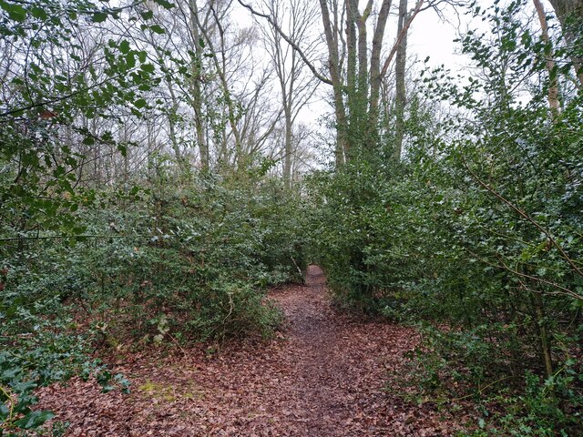
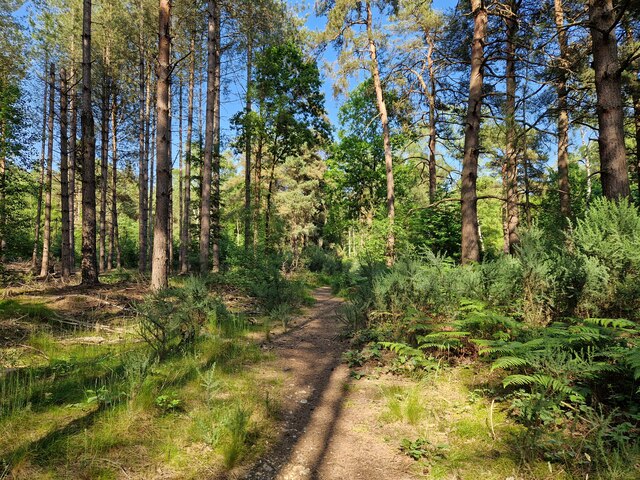
The wood is characterized by its dense canopy of alder trees, which lend the forest its name. The alders create a cool and shaded environment, making it a perfect spot for nature lovers, hikers, and those seeking solitude.
Aldershot Stubs boasts a diverse range of flora and fauna, making it a haven for wildlife enthusiasts. The forest is home to a wide variety of bird species, including woodpeckers, buzzards, and owls. It is not uncommon to see squirrels darting between the trees or deer grazing in the undergrowth.
Visitors to Aldershot Stubs can explore the forest through a network of well-maintained footpaths and trails. These pathways wind through the wood, offering breathtaking views of the surrounding landscape and providing opportunities for leisurely walks or invigorating hikes.
The wood also features several picnic areas, allowing visitors to enjoy a meal surrounded by the sights and sounds of nature. Additionally, there are designated camping spots for those who wish to spend a night under the stars.
Aldershot Stubs is a cherished natural gem in Hampshire, offering a peaceful retreat for individuals and families alike. Its idyllic setting, diverse wildlife, and well-maintained trails make it a must-visit destination for anyone seeking a connection with nature.
If you have any feedback on the listing, please let us know in the comments section below.
Aldershot Stubs Images
Images are sourced within 2km of 51.266204/-0.73258076 or Grid Reference SU8852. Thanks to Geograph Open Source API. All images are credited.


Aldershot Stubs is located at Grid Ref: SU8852 (Lat: 51.266204, Lng: -0.73258076)
Administrative County: Hampshire
District: Rushmoor
Police Authority: Hampshire
What 3 Words
///whites.remove.crib. Near Aldershot, Hampshire
Nearby Locations
Related Wikis

Lakeside Park, Guildford
Lakeside Park is a 14.7-hectare (36-acre) Local Nature Reserve west of Guildford in Surrey. It is owned and managed by Guildford Borough Council.The Blackwater...

Ash Vale
Ash Vale is a village in the borough of Guildford in Surrey, England and the larger, northern settlement of the civil parish of Ash. It is 7 miles (11...

Ash Vale railway station
Ash Vale is a railway station serving the village of Ash Vale in Surrey, England. It is situated at the junction of the London to Alton line and the Ascot...

North Camp railway station
North Camp railway station is situated in the civil parish of Ash in Surrey, England. It takes its name from the nearby North Camp area of Farnborough...
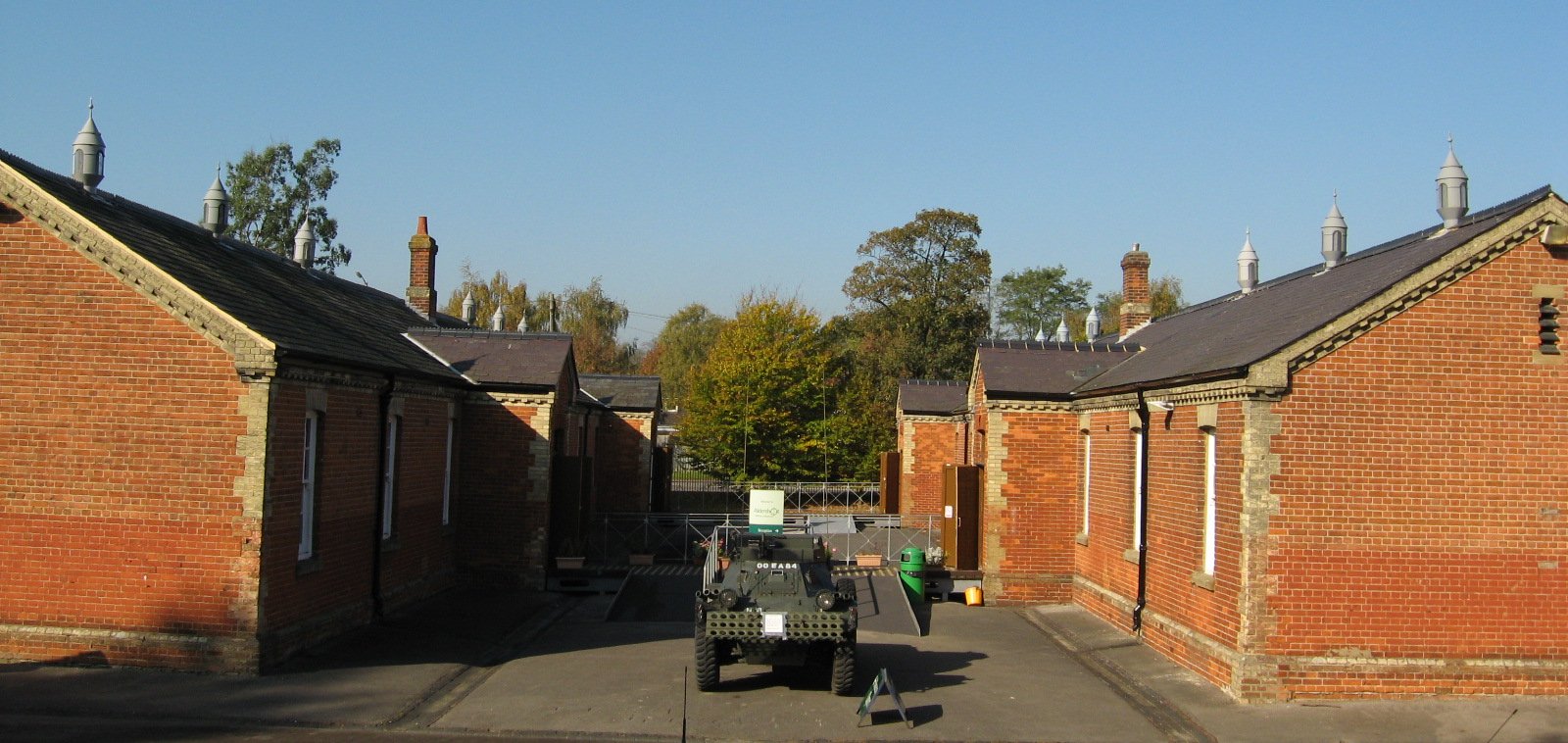
Aldershot Military Museum
Aldershot Military Museum in Aldershot Military Town in Hampshire, England was conceived by former Aldershot Garrison Commander, Brigadier John Reed (1926...

Snaky Lane Community Wildlife Area
Snaky Lane Community Wildlife Area is a 2.7-hectare (6.7-acre) Local Nature Reserve Surrey. It is owned by Guildford Borough Council and managed by the...

Aldershot Military Cemetery
Aldershot Military Cemetery is a burial ground for military personnel, or ex-military personnel and their families, located in Aldershot Military Town...

Frank Goodden
Major Frank Widenham Goodden (3 October 1889 – 28 January 1917) was a pioneering British aviator who served as chief test pilot for the Royal Aircraft...
Nearby Amenities
Located within 500m of 51.266204,-0.73258076Have you been to Aldershot Stubs?
Leave your review of Aldershot Stubs below (or comments, questions and feedback).