Anderson Plantation
Wood, Forest in Yorkshire Ryedale
England
Anderson Plantation
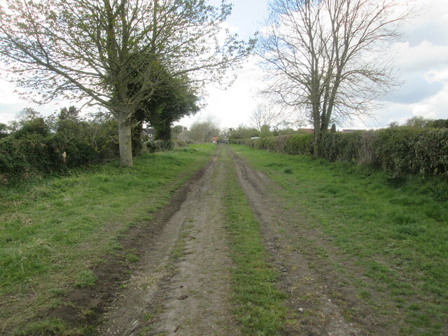
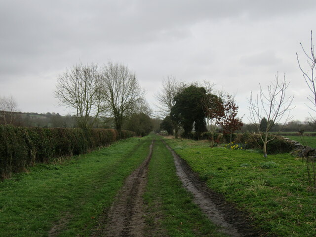
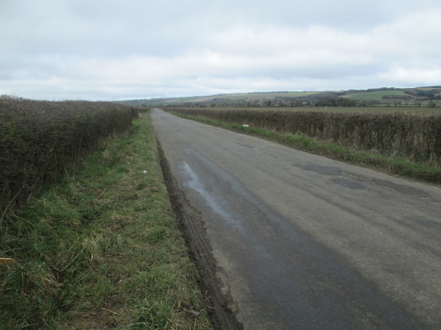
Anderson Plantation is a sprawling woodland located in the picturesque county of Yorkshire in England. Covering a vast area, the plantation is renowned for its dense and diverse forest, making it a haven for nature enthusiasts and an important ecosystem in the region.
The woodland is primarily composed of a variety of trees, including oak, beech, and pine, creating a rich tapestry of colors throughout the year. The towering trees provide ample shade and shelter for an array of wildlife, including rabbits, deer, and a wide assortment of bird species.
The plantation also features several well-maintained walking trails that wind their way through the forest, offering visitors an opportunity to immerse themselves in the tranquil beauty of nature. These paths are perfect for hikers and nature lovers, providing breathtaking views of the surrounding landscape.
Anderson Plantation is also home to a diverse range of flora, with an abundance of wildflowers, ferns, and mosses carpeting the forest floor. This creates a vivid and ever-changing landscape, with bursts of color and life throughout the year.
In addition to its natural beauty, the plantation is of historical significance, with remnants of ancient settlements and burial mounds scattered throughout the woodland. These archaeological sites offer a glimpse into the rich history of the area, providing visitors with a unique opportunity to explore the past.
Overall, Anderson Plantation in Yorkshire is a captivating destination for those seeking a peaceful escape in the heart of nature. Its stunning forest, diverse wildlife, and historical significance make it a must-visit location for both locals and tourists alike.
If you have any feedback on the listing, please let us know in the comments section below.
Anderson Plantation Images
Images are sourced within 2km of 54.224508/-0.64406119 or Grid Reference SE8881. Thanks to Geograph Open Source API. All images are credited.


Anderson Plantation is located at Grid Ref: SE8881 (Lat: 54.224508, Lng: -0.64406119)
Division: North Riding
Administrative County: North Yorkshire
District: Ryedale
Police Authority: North Yorkshire
What 3 Words
///exhaling.childcare.moisture. Near Thornton Dale, North Yorkshire
Nearby Locations
Related Wikis
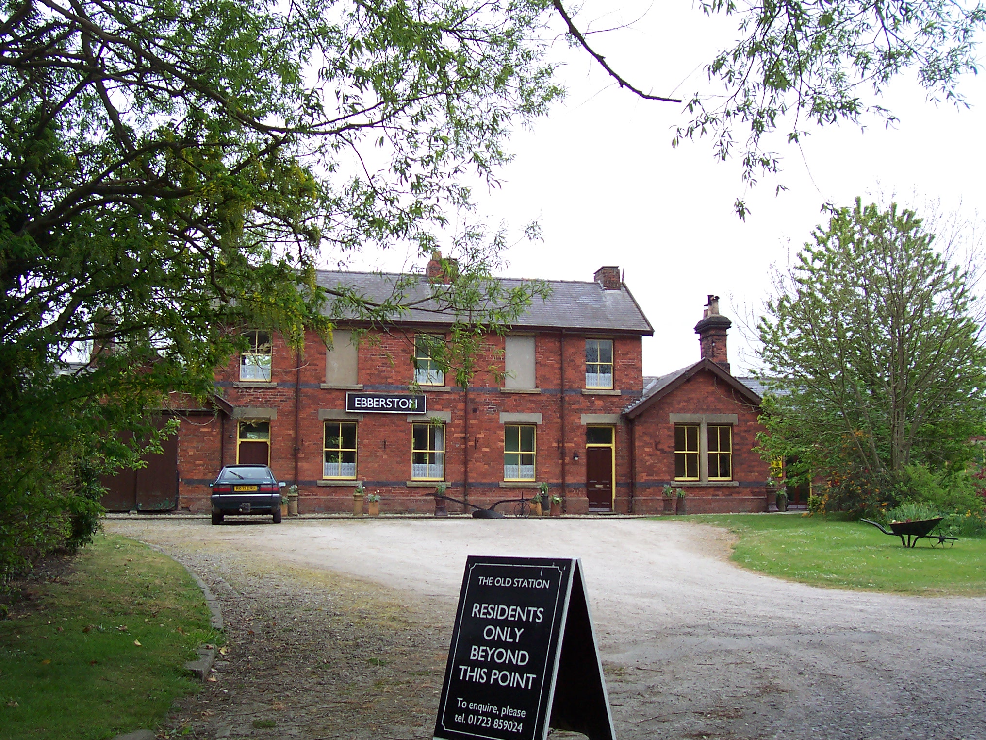
Ebberston railway station
Ebberston railway station was situated on the North Eastern Railway's Pickering to Seamer branch line. It served the villages of Allerston, Ebberston...

Allerston
Allerston is a village and civil parish in North Yorkshire, England, about 5 miles (8 km) east of Pickering. According to the 2001 census, the parish had...
St John's Church, Allerston
St John's Church, Allerston is a Grade II* listed Parish church in Allerston, North Yorkshire.The building dates back to the early 14th Century, and became...

Ebberston
Ebberston is a village and former civil parish, now in the parish of Ebberston and Yedingham in North Yorkshire, England, and is 34 miles (55 km) east...
Nearby Amenities
Located within 500m of 54.224508,-0.64406119Have you been to Anderson Plantation?
Leave your review of Anderson Plantation below (or comments, questions and feedback).