East Millichen
Settlement in Stirlingshire
Scotland
East Millichen
East Millichen is a charming village located in the county of Stirlingshire, Scotland. Situated in the Central Lowlands, it is nestled amidst the picturesque countryside and is surrounded by breathtaking natural beauty. The village lies approximately 10 miles northwest of the city of Stirling and enjoys easy access to nearby towns such as Dunblane and Bridge of Allan.
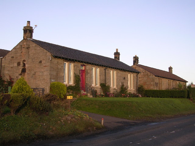
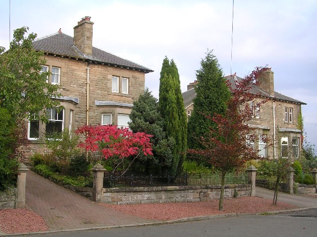
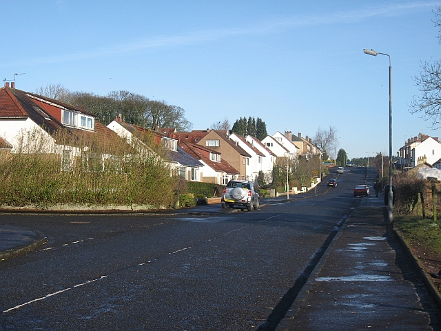
East Millichen is known for its tranquility and traditional Scottish charm. The village is characterized by its quaint cottages and well-maintained gardens, which add to its idyllic atmosphere. The local community takes great pride in preserving the village's heritage, evident in the well-preserved architecture and historical landmarks scattered throughout the area.
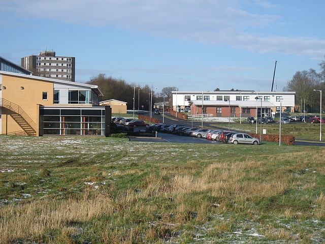
The village offers a range of amenities to its residents, including a local primary school, village hall, and a small convenience store. There are also several pubs and restaurants nearby, providing a cozy dining experience and a chance to sample traditional Scottish cuisine.
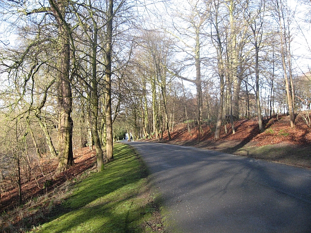
For outdoor enthusiasts, East Millichen is a paradise. The surrounding countryside offers ample opportunities for hiking, cycling, and exploring the unspoiled natural landscapes. The nearby Ochil Hills provide stunning views and are a popular destination for outdoor activities.
Overall, East Millichen is a peaceful and charming village that offers a high quality of life to its residents. Its beautiful landscapes, rich history, and sense of community make it an ideal place to live or visit for those seeking a tranquil retreat in the heart of Scotland.
If you have any feedback on the listing, please let us know in the comments section below.
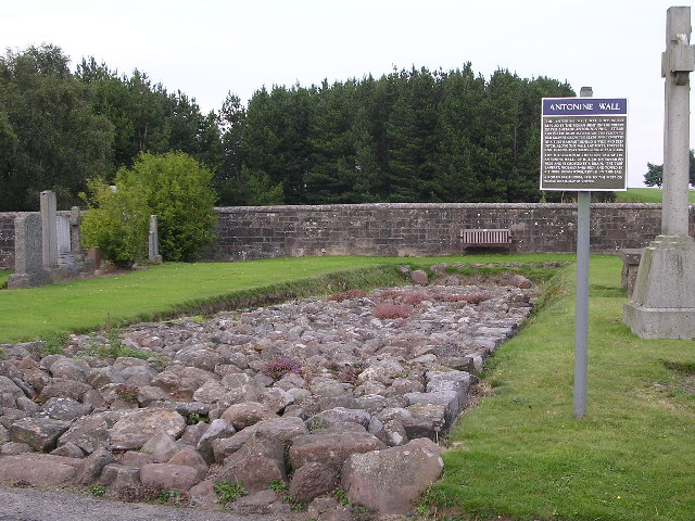
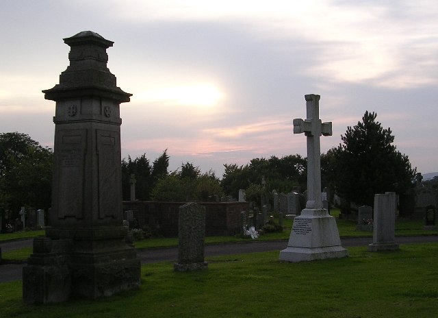
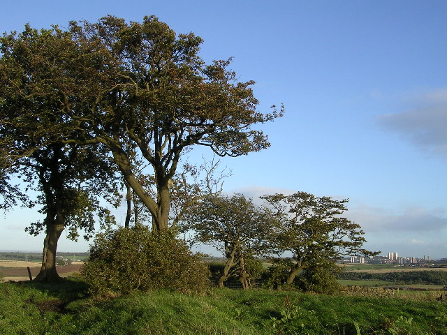
East Millichen Images
Images are sourced within 2km of 55.919762/-4.2898447 or Grid Reference NS5772. Thanks to Geograph Open Source API. All images are credited.


East Millichen is located at Grid Ref: NS5772 (Lat: 55.919762, Lng: -4.2898447)
Unitary Authority: City of Glasgow
Police Authority: Greater Glasgow
What 3 Words
///farmer.lights.speak. Near Bearsden, East Dunbartonshire
Nearby Locations
Related Wikis
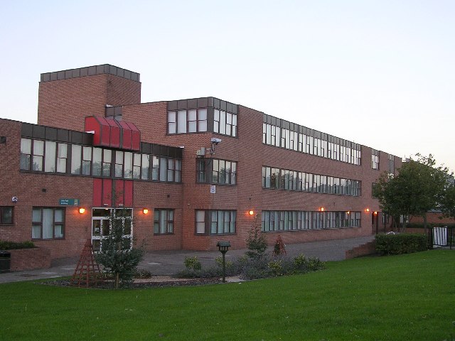
Boclair Academy
Boclair Academy, a co-educational comprehensive secondary school located in the Greater Glasgow suburb of Bearsden, East Dunbartonshire, Scotland, serves...

Glasgow Golf Club
Glasgow Golf Club, founded in May 1787, is the ninth oldest golf club in the world. It has changed location several times during its history, but has been...

New Kilpatrick
New Kilpatrick, (also known as East Kilpatrick or Easter Kilpatrick) is an ecclesiastical Parish and former Civil Parish in Dunbartonshire. It was formed...
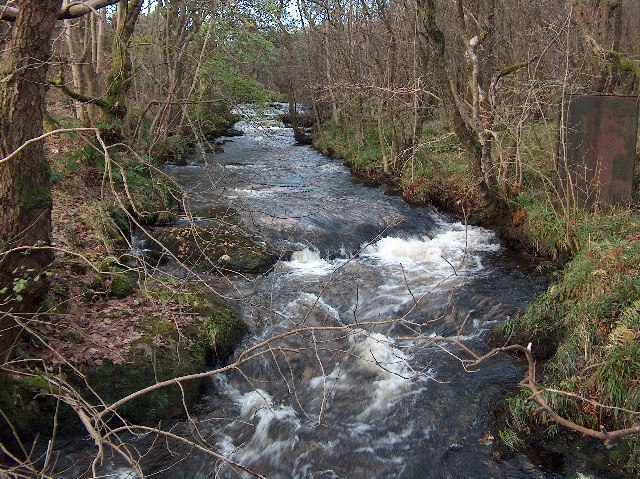
Allander Water
The Allander Water (Scottish Gaelic: Uisge Alandair) is a river in East Dunbartonshire and Stirling, Scotland, and one of the three main tributaries of...
Nearby Amenities
Located within 500m of 55.919762,-4.2898447Have you been to East Millichen?
Leave your review of East Millichen below (or comments, questions and feedback).