Amon's Copse

Wood, Forest in Sussex Chichester

England

Amon's Copse

The Parish Church of St Margaret The church is a Grade II listed building. See <span class="nowrap"><a title="https://historicengland.org.uk/listing/the-list/list-entry/1025991" rel="nofollow ugc noopener" href="https://historicengland.org.uk/listing/the-list/list-entry/1025991">Link</a><img style="margin-left:2px;" alt="External link" title="External link - shift click to open in new window" src="https://s1.geograph.org.uk/img/external.png" width="10" height="10"/></span>
The Parish Church of St Margaret Credit: Chris Thomas-Atkin

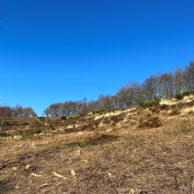
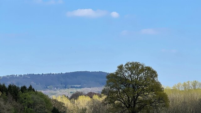
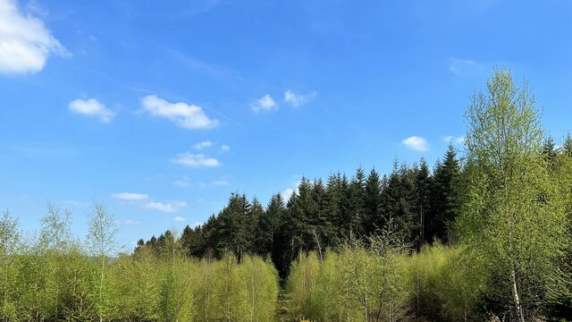
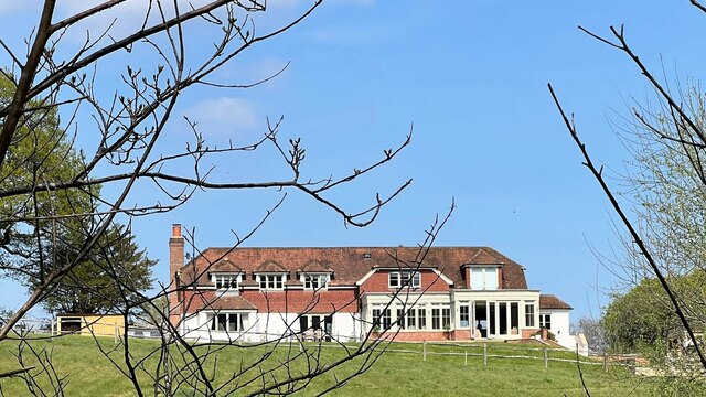
Amon's Copse is a picturesque woodland located in Sussex, England. Covering an area of approximately 100 acres, it is renowned for its natural beauty and diverse wildlife. The copse is situated on gently undulating terrain, with a mix of mature trees and younger saplings creating a rich and varied woodland habitat.

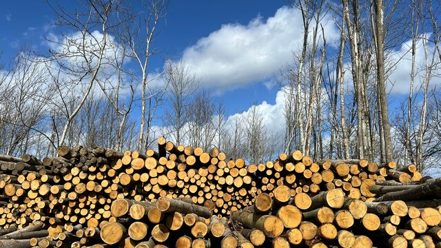
The woodland is predominantly composed of native tree species such as oak, beech, and ash, which provide a dense canopy and offer shade throughout the year. The forest floor is covered in a lush carpet of ferns, wildflowers, and mosses, adding to the enchanting atmosphere of the copse.

Amon's Copse is home to a wide range of wildlife. Birdwatchers can spot various species, including woodpeckers, owls, and songbirds, flitting among the branches. Squirrels can be seen scampering along the forest floor or leaping from tree to tree. Occasionally, lucky visitors may even catch a glimpse of deer grazing in the clearings.

The copse is a popular destination for nature enthusiasts and walkers, offering several trails that wind through the woods. These paths provide opportunities for visitors to immerse themselves in the tranquility of the forest and appreciate the natural wonders that Amon's Copse has to offer.

Overall, Amon's Copse is a haven of peace and natural beauty. Whether it be for a leisurely stroll, birdwatching, or simply enjoying the serenity of the surroundings, this woodland in Sussex is a must-visit location for nature lovers.

If you have any feedback on the listing, please let us know in the comments section below.
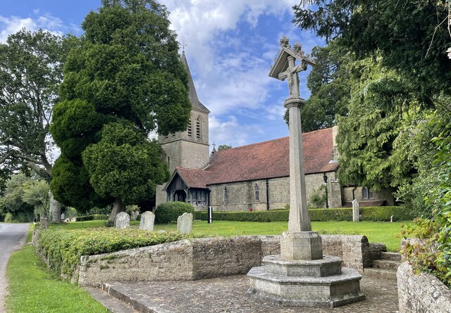
Amon's Copse Images

Images are sourced within 2km of 51.040109/-0.74360865 or Grid Reference SU8827. Thanks to Geograph Open Source API. All images are credited.

The Parish Church of St Margaret The church is a Grade II listed building. See <span class="nowrap"><a title="https://historicengland.org.uk/listing/the-list/list-entry/1025991" rel="nofollow ugc noopener" href="https://historicengland.org.uk/listing/the-list/list-entry/1025991">Link</a><img style="margin-left:2px;" alt="External link" title="External link - shift click to open in new window" src="https://s1.geograph.org.uk/img/external.png" width="10" height="10"/></span>
The Parish Church of St Margaret
The church is a Grade II listed building. See LinkExternal link
Woolbeding Common - the western slopes of Telegraph Hill
Houses adjacent to Crossfield car park
Logs near the Serpent Trail It didn't occur to me when I took the photo, but this composition now says "Ukrainian flag" to me.
Logs near the Serpent Trail
It didn't occur to me when I took the photo, but this composition now says "Ukrainian flag" to me.
View NE towards Black Down
Barn on Whites Lane
Barn on Whites Lane
Stonework on barn at Lower North Park Farm
Woodland on the NE side of Telegraph Hill
Large house SE of Upper Lodge This was the clearest shot I could get. The map labels this plot as "Yew Tree Cottage", but I'm a bit doubtful about that. It doesn't sound right for a property of this size.
Large house SE of Upper Lodge
This was the clearest shot I could get. The map labels this plot as "Yew Tree Cottage", but I'm a bit doubtful about that. It doesn't sound right for a property of this size.
Conifers on the SW side of Green Hill Ferns seemed to be the dominant species on the ground in many parts of Greenhill Wood - not just under the conifers.
Conifers on the SW side of Green Hill
Ferns seemed to be the dominant species on the ground in many parts of Greenhill Wood - not just under the conifers.
Twilight in Fernhurst Cemetery (1) This year 238,705 photos have been uploaded to the site; of which 4,651 (1.95%) are mine
Twilight in Fernhurst Cemetery (1)
This year 238,705 photos have been uploaded to the site; of which 4,651 (1.95%) are mine
Twilight in Fernhurst Cemetery (2)
Twilight in Fernhurst Cemetery (3) The CWGC grave of Brigadier Charles George Cuningham Balfour Davey <span class="nowrap"><a title="https://generals.dk/general/Balfour-Davey/Charles_George_Cuningham/Great_Britain.html" rel="nofollow ugc noopener" href="https://generals.dk/general/Balfour-Davey/Charles_George_Cuningham/Great_Britain.html">Link</a><img style="margin-left:2px;" alt="External link" title="External link - shift click to open in new window" src="https://s1.geograph.org.uk/img/external.png" width="10" height="10"/></span> His service record is here <span class="nowrap"><a title="https://www.cwgc.org/find-records/find-war-dead/casualty-details/2723274/charles-george-cunningham-balfour-davey/" rel="nofollow ugc noopener" href="https://www.cwgc.org/find-records/find-war-dead/casualty-details/2723274/charles-george-cunningham-balfour-davey/">Link</a><img style="margin-left:2px;" alt="External link" title="External link - shift click to open in new window" src="https://s1.geograph.org.uk/img/external.png" width="10" height="10"/></span>
Twilight in Fernhurst Cemetery (3)
The CWGC grave of Brigadier Charles George Cuningham Balfour Davey LinkExternal link His service record is here LinkExternal link
Twilight in Fernhurst Cemetery (4)
Twilight in Fernhurst Cemetery (5) The CWGC grave of Fernhurst native Gunner Sydney Chandler <span class="nowrap"><a title="https://www.cwgc.org/find-records/find-war-dead/casualty-details/402611/sidney-chandler/" rel="nofollow ugc noopener" href="https://www.cwgc.org/find-records/find-war-dead/casualty-details/402611/sidney-chandler/">Link</a><img style="margin-left:2px;" alt="External link" title="External link - shift click to open in new window" src="https://s1.geograph.org.uk/img/external.png" width="10" height="10"/></span>
Twilight in Fernhurst Cemetery (5)
The CWGC grave of Fernhurst native Gunner Sydney Chandler LinkExternal link
Twilight in Fernhurst Cemetery (6)
Twilight in Fernhurst Cemetery (7) The CWGC grave of Private C Roe <span class="nowrap"><a title="https://www.cwgc.org/find-records/find-war-dead/casualty-details/402614/c-roe/" rel="nofollow ugc noopener" href="https://www.cwgc.org/find-records/find-war-dead/casualty-details/402614/c-roe/">Link</a><img style="margin-left:2px;" alt="External link" title="External link - shift click to open in new window" src="https://s1.geograph.org.uk/img/external.png" width="10" height="10"/></span>
Twilight in Fernhurst Cemetery (7)
The CWGC grave of Private C Roe LinkExternal link
Twilight in Fernhurst Cemetery (8)
Show me another place!

Amon's Copse is located at Grid Ref: SU8827 (Lat: 51.040109, Lng: -0.74360865)

Administrative County: West Sussex

District: Chichester

Police Authority: Sussex

What 3 Words

///prouder.squeaking.spring. Near Fernhurst, West Sussex

Related Wikis

Western Weald

The western Weald is an area of undulating countryside in Hampshire and West Sussex containing a mixture of woodland and heathland areas. It lies to the...

Cooksbridge Meadow

Cooksbridge Meadow is a 9-hectare (22-acre) nature reserve south of Fernhurst in Sussex. It is managed by the Sussex Wildlife Trust.Most of this site...

Perry Copse Outcrop

Perry Copse Outcrop is a 0.2-hectare (0.49-acre) geological Site of Special Scientific Interest in Fernhurst in West Sussex. It is a Geological Conservation...

Fernhurst

Fernhurst is a village and civil parish in the Chichester District of West Sussex, England, on the A286 Milford, Surrey, to Chichester road, 3 miles (4...

Linch

Linch is an Anglican parish, and a loose collection of hamlets that make up the civil parish of the same name in the Chichester District of West Sussex...
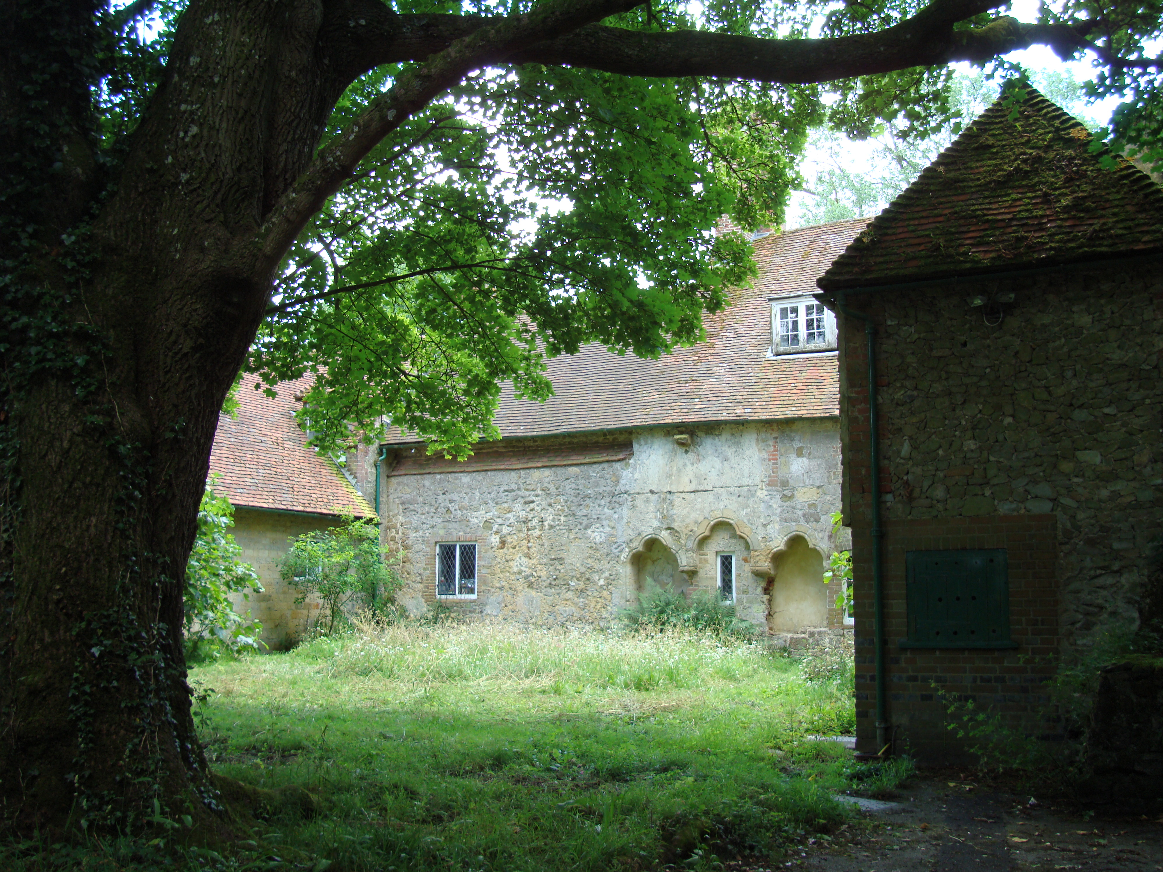
Shulbrede Priory

Shulbrede Priory is a former medieval monastic house in West Sussex, England; it became the home of the Ponsonby family, including the first Lord Ponsonby...

Titty Hill

Titty Hill is a hamlet in the civil parish of Milland in the Chichester district of West Sussex, England. It is close to a Roman way station or mansio...

North Ambersham

North Ambersham was a tithing in the Chichester district of West Sussex, England. Until 1844 North Ambersham was a detached part of Hampshire and was...

Nearby Amenities

Located within 500m of 51.040109,-0.74360865
The data included in this document is from www.openstreetmap.org. The data is made available under ODbL.

Have you been to Amon's Copse?

Leave your review of Amon's Copse below (or comments, questions and feedback).