East Mersea

Settlement in Essex Colchester

England

East Mersea

St. Edmund Church, East Mersea <span class="nowrap"><a title="https://en.wikipedia.org/wiki/East_Mersea" rel="nofollow ugc noopener" href="https://en.wikipedia.org/wiki/East_Mersea">Link</a><img style="margin-left:2px;" alt="External link" title="External link - shift click to open in new window" src="https://s1.geograph.org.uk/img/external.png" width="10" height="10"/></span>
St. Edmund Church, East Mersea Credit: PAUL FARMER

East Mersea is a small village located on the eastern coast of Mersea Island, which is situated in the county of Essex, England. It is a picturesque and idyllic destination known for its natural beauty and vibrant community.

The village is surrounded by stunning landscapes, including salt marshes, sandy beaches, and an abundance of wildlife, making it an ideal spot for nature lovers and outdoor enthusiasts. The nearby Cudmore Grove Country Park offers visitors the opportunity to explore walking trails, picnic areas, and panoramic views of the estuary.

East Mersea is also renowned for its seafood, particularly its famous oysters. The island has a long history of oyster production, and visitors can enjoy fresh and delicious seafood at local restaurants and seafood shacks. The annual Mersea Island Food, Drink & Leisure Festival attracts both locals and tourists, showcasing the best of the island's culinary delights.

The village itself has a charming and close-knit community, with a range of amenities including a village hall, a primary school, a post office, and a handful of local shops and businesses. The community actively participates in various events and activities, such as the Mersea Island Lions Carnival, which adds to the vibrant atmosphere of the village.

With its natural beauty, rich history, and strong community spirit, East Mersea offers a tranquil and welcoming escape from the hustle and bustle of city life, making it a popular destination for those seeking relaxation and a connection with nature.

If you have any feedback on the listing, please let us know in the comments section below.
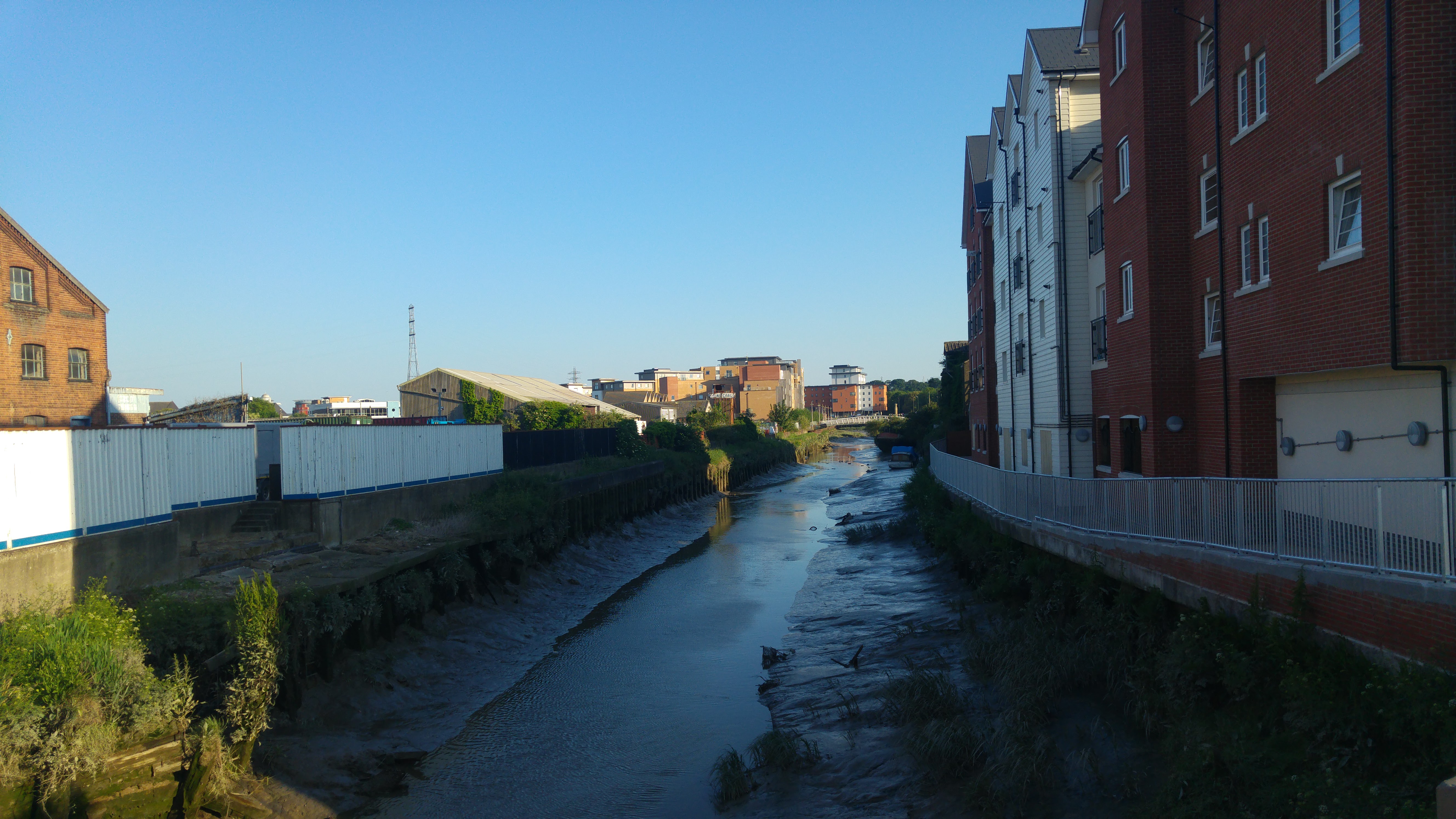
East Mersea Images

Images are sourced within 2km of 51.792352/0.980062 or Grid Reference TM0514. Thanks to Geograph Open Source API. All images are credited.

St. Edmund Church, East Mersea <span class="nowrap"><a title="https://en.wikipedia.org/wiki/East_Mersea" rel="nofollow ugc noopener" href="https://en.wikipedia.org/wiki/East_Mersea">Link</a><img style="margin-left:2px;" alt="External link" title="External link - shift click to open in new window" src="https://s1.geograph.org.uk/img/external.png" width="10" height="10"/></span>
St. Edmund Church, East Mersea
East Mersea Rain Cloud Rain was coming up in pulses from the south west and this black cloud, heavy with rain, crossed the estuary to land on Brightlingsea. The photo I think shows a nice contrast between the sandy beach and the dark cloud divided by the line of gorse.
East Mersea Rain Cloud
Rain was coming up in pulses from the south west and this black cloud, heavy with rain, crossed the estuary to land on Brightlingsea. The photo I think shows a nice contrast between the sandy beach and the dark cloud divided by the line of gorse.
Sand Martin Holes It has been a few years since I have seen any <a href="https://www.geograph.org.uk/photo/2380169">TM0614 : Sand Martins</a> nesting in the cliffs at Cudmore Grove country park but 2001 seems to be a good year for them.
Sand Martin Holes
It has been a few years since I have seen any TM0614 : Sand Martins nesting in the cliffs at Cudmore Grove country park but 2001 seems to be a good year for them.
Sand Martins There was quite a flock around these <a href="https://www.geograph.org.uk/photo/2380162">TM0614 : Sand Martin Holes</a>
Sand Martins
There was quite a flock around these TM0614 : Sand Martin Holes
Something to Crow About? Someone sorts out a new flag each year at East Mersea see <a href="https://www.geograph.org.uk/photo/272130">TM0614 : Colne View</a> and <a href="https://www.geograph.org.uk/photo/219298">TM0614 : Moonscape and Mersea Mud</a>
Something to Crow About?
Someone sorts out a new flag each year at East Mersea see TM0614 : Colne View and TM0614 : Moonscape and Mersea Mud
East Mersea Mudflats Looking across the Colne Estuary towards Colne Point. A few feet from here I found  a WW2 relic in the shape of a spent shell case of a 1/2 inch calibre machine gun round. Most probably it was left over from a gun test of a U.S bomber heading for a raid over Europe. However it didn't look like it had been washed by 48,000 tides. Doubtless it had been buried and had recently surfaced again. I got very muddy boots getting to this point!
East Mersea Mudflats
Looking across the Colne Estuary towards Colne Point. A few feet from here I found a WW2 relic in the shape of a spent shell case of a 1/2 inch calibre machine gun round. Most probably it was left over from a gun test of a U.S bomber heading for a raid over Europe. However it didn't look like it had been washed by 48,000 tides. Doubtless it had been buried and had recently surfaced again. I got very muddy boots getting to this point!
Towards Bradwell With the tide on the turn on East Mersea Flats you can see <a href="https://www.geograph.org.uk/photo/242333">TM0008 : Bradwell Power Station</a> on the horizon
Towards Bradwell
With the tide on the turn on East Mersea Flats you can see TM0008 : Bradwell Power Station on the horizon
Mudflats at East Mersea The last of the mud about to be submerged under the returning tide.
Mudflats at East Mersea
The last of the mud about to be submerged under the returning tide.
Mudflats East Mersea A typical scene of Mersea-on-Mud. Before it was subsumed into Colchester's administration Mersea's political body was Mersea Urban District council {M.U.D}!
Mudflats East Mersea
A typical scene of Mersea-on-Mud. Before it was subsumed into Colchester's administration Mersea's political body was Mersea Urban District council {M.U.D}!
Towards Sandy Point Mud glorious mud on East Mersea Flats.
Towards Sandy Point
Mud glorious mud on East Mersea Flats.
Low Tide on East Mersea Flats It was a VERY muddy business getting to this point. However I have been playing on Mersea mud for a little shy of fifty years and know how to avoid ending up to my knees in the gloop! However my boots are still drying out.
Low Tide on East Mersea Flats
It was a VERY muddy business getting to this point. However I have been playing on Mersea mud for a little shy of fifty years and know how to avoid ending up to my knees in the gloop! However my boots are still drying out.
Gunfleet Construction Barge One of the barges used on the construction of the <a href="https://www.geograph.org.uk/photo/1431210">TM2008 : Gunfleet Sands Wind Farm</a> the yellow pillars are the bases for the turbines.
Gunfleet Construction Barge
One of the barges used on the construction of the TM2008 : Gunfleet Sands Wind Farm the yellow pillars are the bases for the turbines.
Tug & Pontoon for Gunfleet Construction The tug is the Gray Test <span class="nowrap"><a title="http://www.simplonpc.co.uk/Harwich-Tugs.html#anchor187029" rel="nofollow ugc noopener" href="http://www.simplonpc.co.uk/Harwich-Tugs.html#anchor187029">Link</a><img style="margin-left:2px;" alt="External link" title="External link - shift click to open in new window" src="https://s1.geograph.org.uk/img/external.png" width="10" height="10"/></span>
from Felixstowe employed on the construction of <a href="https://www.geograph.org.uk/photo/1431210">TM2008 : Gunfleet Sands Wind Farm</a>.
Tug & Pontoon for Gunfleet Construction
The tug is the Gray Test LinkExternal link from Felixstowe employed on the construction of TM2008 : Gunfleet Sands Wind Farm.
Mersea Island Mersea Island and Brightlingsea Reach at sunset as seen from Point Clear.
Mersea Island
Mersea Island and Brightlingsea Reach at sunset as seen from Point Clear.
Gravel strata in cliffs Cliffs at Cudmore Grove Country Park, East Mersea.

According to the Essex RIGS Group <span class="nowrap"><a title="http://www.essexwt.org.uk/geology/sites.htm" rel="nofollow ugc noopener" href="http://www.essexwt.org.uk/geology/sites.htm">Link</a><img style="margin-left:2px;" alt="External link" title="External link - shift click to open in new window" src="https://s1.geograph.org.uk/img/external.png" width="10" height="10"/></span> :The cliffs at Cudmore Grove provide superb exposures of Thames/Medway gravels laid down during the Hoxnian interglacial stage when monkeys, bears and early man lived in Essex.
Gravel strata in cliffs
Cliffs at Cudmore Grove Country Park, East Mersea. According to the Essex RIGS Group LinkExternal link :The cliffs at Cudmore Grove provide superb exposures of Thames/Medway gravels laid down during the Hoxnian interglacial stage when monkeys, bears and early man lived in Essex.
Kites above the pillbox Cudmore Grove is found at the eastern end of
Mersea Island next to the Colne estuary.

Essex County Council purchased Cudmore Grove, 
in 1974 to preserve a piece of Essex for people to
enjoy. The Country Parks Rangers now manage
the land for countryside recreation, wildlife and
historical interest.

For more information see <span class="nowrap"><a title="http://www.visitparks.co.uk/placestovisit/cudmorecountrypark.php" rel="nofollow ugc noopener" href="http://www.visitparks.co.uk/placestovisit/cudmorecountrypark.php">Link</a><img style="margin-left:2px;" alt="External link" title="External link - shift click to open in new window" src="https://s1.geograph.org.uk/img/external.png" width="10" height="10"/></span>
Kites above the pillbox
Cudmore Grove is found at the eastern end of Mersea Island next to the Colne estuary. Essex County Council purchased Cudmore Grove, in 1974 to preserve a piece of Essex for people to enjoy. The Country Parks Rangers now manage the land for countryside recreation, wildlife and historical interest. For more information see LinkExternal link
Path behind the sea wall Cudmore Grove is found at the eastern end of
Mersea Island next to the Colne estuary.

Essex County Council purchased Cudmore Grove, 
in 1974 to preserve a piece of Essex for people to
enjoy. The Country Parks Rangers now manage
the land for countryside recreation, wildlife and
historical interest.

For more information see <span class="nowrap"><a title="http://www.visitparks.co.uk/placestovisit/cudmorecountrypark.php" rel="nofollow ugc noopener" href="http://www.visitparks.co.uk/placestovisit/cudmorecountrypark.php">Link</a><img style="margin-left:2px;" alt="External link" title="External link - shift click to open in new window" src="https://s1.geograph.org.uk/img/external.png" width="10" height="10"/></span>
Path behind the sea wall
Cudmore Grove is found at the eastern end of Mersea Island next to the Colne estuary. Essex County Council purchased Cudmore Grove, in 1974 to preserve a piece of Essex for people to enjoy. The Country Parks Rangers now manage the land for countryside recreation, wildlife and historical interest. For more information see LinkExternal link
Borrow dyke A borrow dyke is created when digging out soil alongside the sea defence and placing it along the edge of the tidal waterside to make the raised seawall known as a "dyke”. The void left by digging out the soil to make the defensive dyke is called a “borrow dyke”. Borrow dykes are often brackish with fresh water from the surrounding area mixing with seawater which seeps through the dyke.
Borrow dyke
A borrow dyke is created when digging out soil alongside the sea defence and placing it along the edge of the tidal waterside to make the raised seawall known as a "dyke”. The void left by digging out the soil to make the defensive dyke is called a “borrow dyke”. Borrow dykes are often brackish with fresh water from the surrounding area mixing with seawater which seeps through the dyke.
Show me another place!

East Mersea is located at Grid Ref: TM0514 (Lat: 51.792352, Lng: 0.980062)

Administrative County: Essex

District: Colchester

Police Authority: Essex

What 3 Words

///smoker.quoted.void. Near Brightlingsea, Essex

Related Wikis

East Mersea

East Mersea is a village and civil parish on Mersea Island in the City of Colchester district of Essex, England. It was historically referred to as Mersea...

Mersea Fort

Mersea Fort, also known as Cudmore Grove Blockhouse, was an artillery fort established by Henry VIII on the East Mersea coast in 1543. It formed part of...

Colne Estuary

Colne Estuary is a 2915 hectare biological and geological Site of Special Scientific Interest near Brightlingsea in Essex. It is also a Nature Conservation...

River Colne, Essex

The River Colne ( or ) is a small river that runs through Essex, England and passes through Colchester. It is not a tributary of any other river, instead...

Mersea Island

Mersea Island is an island in Essex, England, in the Blackwater and Colne estuaries to the south-east of Colchester. Its name comes from the Old English...

Brightlingsea railway station

Brightlingsea railway station was located in Brightlingsea, Essex. It was on the single track branch line of the Wivenhoe and Brightlingsea Railway which...

Barrow Hill, Essex

Barrow Hill is a hamlet in Essex, England. It is located on Mersea Island, approximately 2 km (1.2 mi) north-northeast of West Mersea near to where the...

Cindery Island

Cindery Island is at the mouth of Brightlingsea Creek (off the town of Brightlingsea) on the east coast of England in the county of Essex. == External... ==

Nearby Amenities

Located within 500m of 51.792352,0.980062
Pub
Dog & Pheasant
Wikidata: Q26563347
Lat/Long: 51.7926015/0.9793808
Bromans Lane
Naptan AtcoCode: 150014013002
Naptan BusStopType: CUS
Naptan NaptanCode: esxdamam
Naptan Verified: no
Public Transport: platform
Source: naptan_import
Lat/Long: 51.7935857/0.9838472
The Dog & Pheasant
Naptan AtcoCode: 150014013003
Naptan Bearing: W
Naptan BusStopType: CUS
Naptan CommonName: The Dog & Pheasant
Naptan Indicator: o/s
Naptan Landmark: The Dog & Pheasant
Naptan NaptanCode: esxdamap
Naptan Street: East Road
Naptan Verified: no
Public Transport: platform
Source: naptan_import
Lat/Long: 51.7923982/0.9803167
The Dog & Pheasant
Naptan AtcoCode: 150014013004
Naptan Bearing: NE
Naptan BusStopType: CUS
Naptan CommonName: The Dog & Pheasant
Naptan Indicator: Opp
Naptan Landmark: The Dog & Pheasant
Naptan NaptanCode: esxdamat
Naptan Street: East Road
Naptan Verified: no
Public Transport: platform
Source: naptan_import
Lat/Long: 51.7923949/0.9797364
Bromans Lane
Naptan AtcoCode: 1500140130Y2
Naptan BusStopType: CUS
Naptan NaptanCode: esxgtpjg
Naptan Verified: no
Public Transport: platform
Source: naptan_import
Lat/Long: 51.7935221/0.983872
The data included in this document is from www.openstreetmap.org. The data is made available under ODbL.

Have you been to East Mersea?

Leave your review of East Mersea below (or comments, questions and feedback).