Hyde Copse

Wood, Forest in Surrey Waverley

England

Hyde Copse

Pitlands Farm Grade II listed building - <span class="nowrap"><a title="https://historicengland.org.uk/listing/the-list/list-entry/1240826" rel="nofollow ugc noopener" href="https://historicengland.org.uk/listing/the-list/list-entry/1240826">Link</a><img style="margin-left:2px;" alt="External link" title="External link - shift click to open in new window" src="https://s1.geograph.org.uk/img/external.png" width="10" height="10"/></span>
Pitlands Farm Credit: Ian Taylor

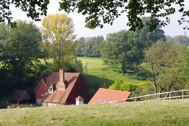
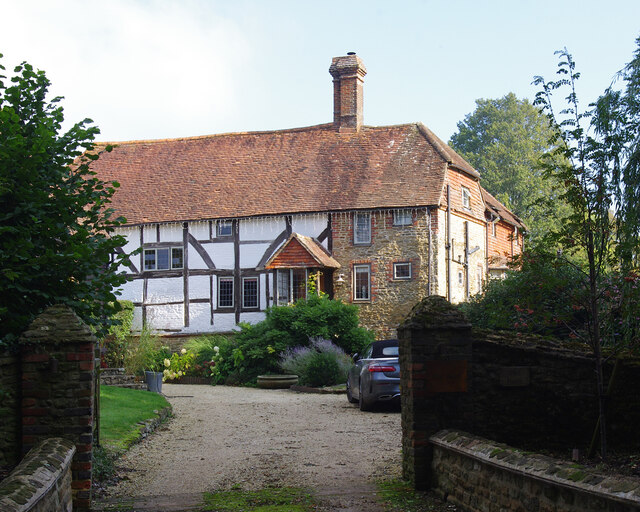
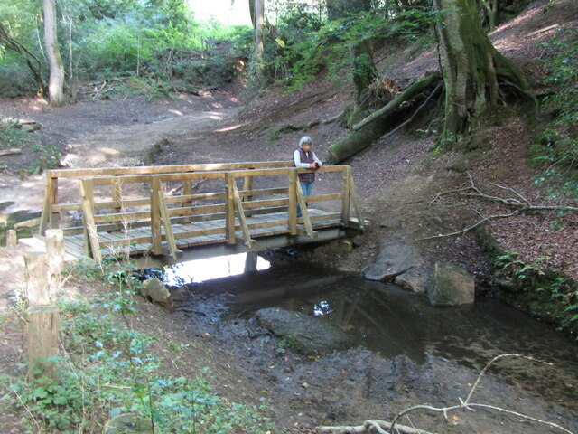
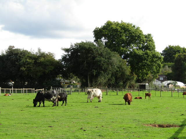
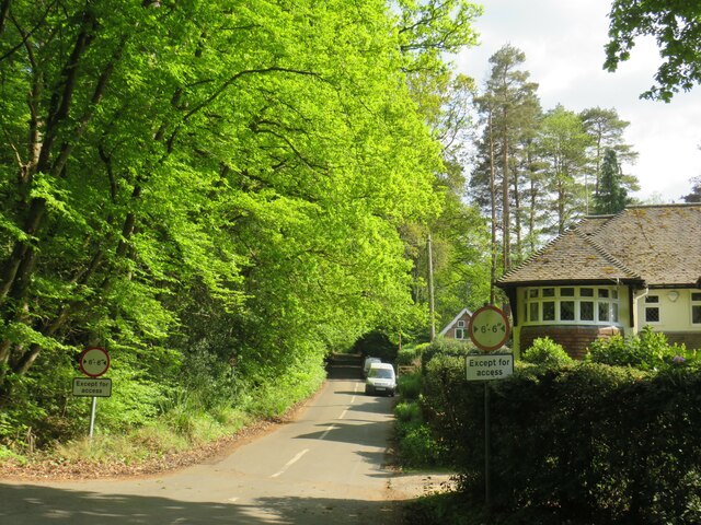
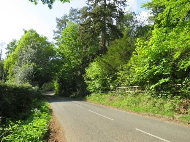
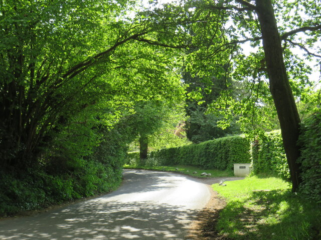
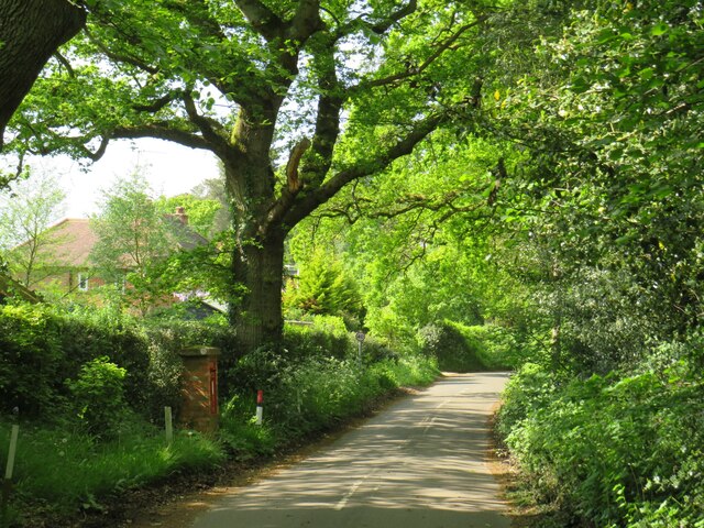
Hyde Copse is a picturesque woodland located in Surrey, England. Nestled amidst the rolling hills and countryside, this forested area spans approximately 100 acres and is a haven for nature enthusiasts and outdoor adventurers alike.

The copse is predominantly composed of native broadleaf trees such as oak, beech, and ash, creating a diverse and vibrant ecosystem. The dense canopy of foliage provides a cool and shaded environment, making it an ideal spot for a leisurely stroll or a peaceful picnic during the summer months.

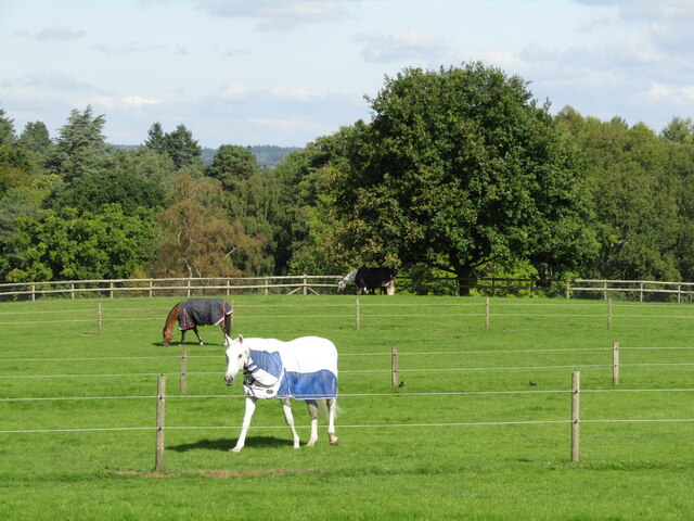
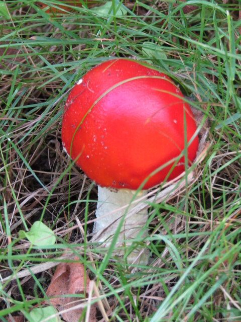
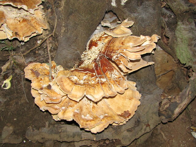
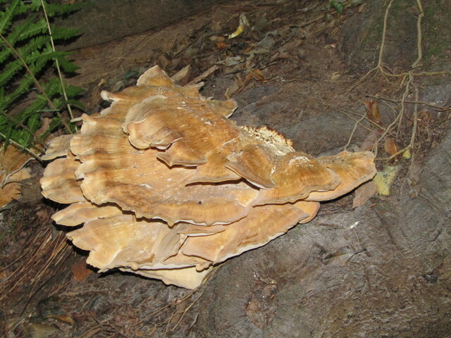
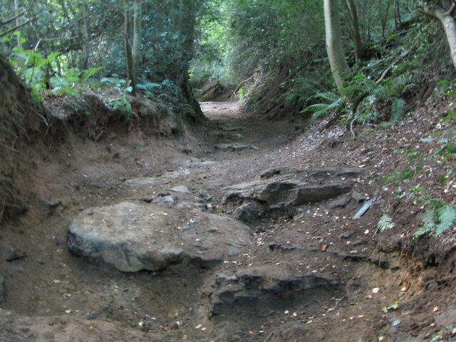
Tranquil pathways wind their way through the copse, offering visitors a chance to immerse themselves in the natural beauty that surrounds them. These trails are well-maintained, ensuring easy access for walkers and hikers of all abilities. Along the way, visitors may encounter an array of wildlife, including squirrels, woodpeckers, and various species of butterflies and birds.

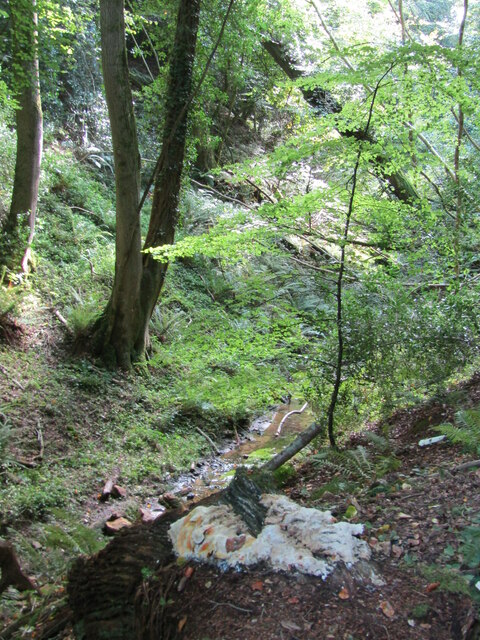
Hyde Copse also boasts a small stream that meanders through the forest, adding to its charm and providing a watering hole for local wildlife. This stream is often used by children and families for recreational purposes, such as paddling or building dams.

The copse is managed by a dedicated team of conservationists who work tirelessly to protect and preserve the natural habitat. They conduct regular maintenance to promote biodiversity and manage any invasive species that may threaten the delicate balance of the ecosystem.

Overall, Hyde Copse is a tranquil and enchanting woodland, offering respite from the hustle and bustle of everyday life. It is a place where visitors can reconnect with nature, enjoy the serenity of their surroundings, and appreciate the wonders of Surrey's countryside.

If you have any feedback on the listing, please let us know in the comments section below.

Hyde Copse Images

Images are sourced within 2km of 51.139482/-0.74244301 or Grid Reference SU8838. Thanks to Geograph Open Source API. All images are credited.

Pitlands Farm Grade II listed building - <span class="nowrap"><a title="https://historicengland.org.uk/listing/the-list/list-entry/1240826" rel="nofollow ugc noopener" href="https://historicengland.org.uk/listing/the-list/list-entry/1240826">Link</a><img style="margin-left:2px;" alt="External link" title="External link - shift click to open in new window" src="https://s1.geograph.org.uk/img/external.png" width="10" height="10"/></span>
Pitlands Farm
Grade II listed building - LinkExternal link
Upper Highfield Farm House Grade II listed building - <span class="nowrap"><a title="https://historicengland.org.uk/listing/the-list/list-entry/1240875" rel="nofollow ugc noopener" href="https://historicengland.org.uk/listing/the-list/list-entry/1240875">Link</a><img style="margin-left:2px;" alt="External link" title="External link - shift click to open in new window" src="https://s1.geograph.org.uk/img/external.png" width="10" height="10"/></span>
Upper Highfield Farm House
Grade II listed building - LinkExternal link
Thursley - Paddocks Horsieculture is common in the grassy fields south of Thursley.
Thursley - Paddocks
Horsieculture is common in the grassy fields south of Thursley.
Devil's Punch Bowl - Toadstool Red, waxy-looking toadstool, ca 3 inches high, in the grass beside a footpath.
Devil's Punch Bowl - Toadstool
Red, waxy-looking toadstool, ca 3 inches high, in the grass beside a footpath.
Thursley - Fungus Large bracket fungus ca 1 foot from end to end in woodland close to Ridgeway Farm.
Thursley - Fungus
Large bracket fungus ca 1 foot from end to end in woodland close to Ridgeway Farm.
Thursley - Fungus Large bracket fungus ca 1 foot from end to end in woodland close to Ridgeway Farm.
Thursley - Fungus
Large bracket fungus ca 1 foot from end to end in woodland close to Ridgeway Farm.
Thursley - Byway Ancient and deeply incised trackway with exposed flat rocks in woodland close to Ridgeway Farm.
Thursley - Byway
Ancient and deeply incised trackway with exposed flat rocks in woodland close to Ridgeway Farm.
Thursley - Incised Valley In deciduous woodland south of Vanhurst Copse.
Note the large white splodge of white fungus in the foreground - ca 2 feet from end to end.
Thursley - Incised Valley
In deciduous woodland south of Vanhurst Copse. Note the large white splodge of white fungus in the foreground - ca 2 feet from end to end.
Thursley - Footbridge In deciduous woodland south of Vanhurst Copse. The bridge parallels an old ford.
Thursley - Footbridge
In deciduous woodland south of Vanhurst Copse. The bridge parallels an old ford.
Thursley - Reflections Bright, vivid reflections on a sunny patch of stream below a footbridge in deciduous woodland.
Thursley - Reflections
Bright, vivid reflections on a sunny patch of stream below a footbridge in deciduous woodland.
Thursley - Footbridge In deciduous woodland south of Vanhurst Copse. The bridge parallels an old ford where the byway crosses the stream.
Thursley - Footbridge
In deciduous woodland south of Vanhurst Copse. The bridge parallels an old ford where the byway crosses the stream.
Thursley - Dairy Cattle Grazing cows by Hedge Farm - a change from surrounding fields which mainly have horses.
Thursley - Dairy Cattle
Grazing cows by Hedge Farm - a change from surrounding fields which mainly have horses.
Thursley - Toadstool Largish fungus in the undergrowth beside a footpath.
Thursley - Toadstool
Largish fungus in the undergrowth beside a footpath.
Thursley - Toadstool Largish fungus in the undergrowth beside a footpath.
Thursley - Toadstool
Largish fungus in the undergrowth beside a footpath.
Crabtree Lane, Churt, near Farnham Crabtree Lane is a minor lane on the edge of the village of Churt in Surrey.

A width restriction of 6 feet and 6 inches applies to prohibit large vehicles from using this road.  Vehicles needing to access properties along this road are exempt from the restriction.
Crabtree Lane, Churt, near Farnham
Crabtree Lane is a minor lane on the edge of the village of Churt in Surrey. A width restriction of 6 feet and 6 inches applies to prohibit large vehicles from using this road. Vehicles needing to access properties along this road are exempt from the restriction.
Jumps Road, Churt, near Farnham Jumps Road is a minor road through woodland on the edge of the village of Churt, in Surrey.
Jumps Road, Churt, near Farnham
Jumps Road is a minor road through woodland on the edge of the village of Churt, in Surrey.
Hale House Lane, Churt, near Farnham Hale House Lane is a minor road on the edge of the village of Churt, in Surrey.
Hale House Lane, Churt, near Farnham
Hale House Lane is a minor road on the edge of the village of Churt, in Surrey.
Crabtree Lane, Churt, near Farnham Crabtree Lane is a minor road on the edge of the village of Churt, in Surrey.
Crabtree Lane, Churt, near Farnham
Crabtree Lane is a minor road on the edge of the village of Churt, in Surrey.
Show me another place!

Hyde Copse is located at Grid Ref: SU8838 (Lat: 51.139482, Lng: -0.74244301)

Administrative County: Surrey

District: Waverley

Police Authority: Surrey

What 3 Words

///weeks.stress.handicaps. Near Churt, Surrey

Nearby Locations

Hyde Copse Vanhurst Copse

Related Wikis

Stockstone Quarry

Stockstone Quarry is a 3.9-hectare (9.6-acre) geological Site of Special Scientific Interest south of Farnham in Surrey. It is a Geological Conservation...

Bron-y-de

Bron-y-de (transl. 'Breast of the south') was a house and surrounding farm in the village of Churt in the southern English county of Surrey. The main house...

Devil's Jumps, Churt

The Devil's Jumps are a series of three small hills near the village of Churt in the county of Surrey in southern England. In the 18th century, the hills...

Beacon Hill (Hindhead, Surrey)

Beacon Hill, while ecumenically and administratively part of Hindhead, Surrey, is a discrete settlement with its own history, amenities and character....

Rushmoor, Surrey

Rushmoor is a village in the civil parish of Frensham, in the Waverley district, in the county of Surrey, England. In 2019 it had an estimated population...

Churt

Churt is a village and civil parish in the borough of Waverley in Surrey, England, about 5.5 miles (8.9 km) south of the town of Farnham on the A287 road...

Hindhead

Hindhead is a village in the Waverley district of the ceremonial county of Surrey, England. It is the highest village in the county and its buildings are...

Thursley, Hankley and Frensham Commons

Thursley, Hankley and Frensham Commons is a 1,878.5-hectare (4,642-acre) biological Site of Special Scientific Interest west of Godalming in Surrey. Thursley...

Nearby Amenities

Located within 500m of 51.139482,-0.74244301
Marchants Farm
Landuse: farm
Note Retag: CS #48756035
Residence: farm
Source: photo
Lat/Long: 51.1366643/-0.7461726
Hyde Farm
Landuse: farm
Note Retag: CS #48756035
Residence: farm
Source: photo
Lat/Long: 51.1392168/-0.7382056
Lower Punchbowl Farm
Landuse: farm
Note Retag: CS #48756035
Lat/Long: 51.1386754/-0.73541
Glenfield Farm
Landuse: farm
Note Retag: CS #48756035
Lat/Long: 51.1386406/-0.7360088
The data included in this document is from www.openstreetmap.org. The data is made available under ODbL.

Have you been to Hyde Copse?

Leave your review of Hyde Copse below (or comments, questions and feedback).