Gilbert's Wood
Wood, Forest in Lincolnshire North Kesteven
England
Gilbert's Wood
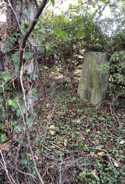
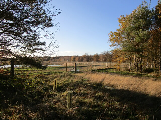
Gilbert's Wood is a picturesque wooded area located in the county of Lincolnshire, England. Covering an expansive area, the wood is known for its natural beauty and diverse ecosystem. It is situated near the village of Gilbert's Hill, which lends its name to this enchanting forest.
The wood is primarily composed of broadleaf trees, such as oak, ash, beech, and birch, which provide a canopy of shade and shelter to the various flora and fauna that call this place home. The dense foliage creates a serene and tranquil atmosphere, making it an idyllic location for nature lovers and outdoor enthusiasts.
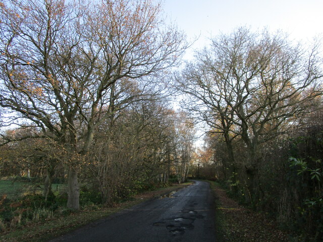
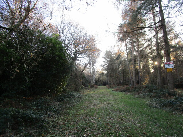
Walking trails wind through the wood, offering visitors the opportunity to explore the diverse landscapes and discover hidden gems within. The paths meander alongside babbling brooks, offering glimpses of wildlife such as deer, rabbits, and a myriad of bird species. The wood also boasts a rich variety of wildflowers, adding bursts of color to the already stunning scenery.
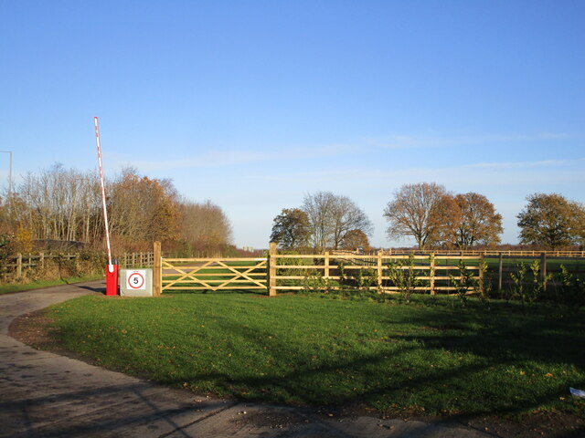
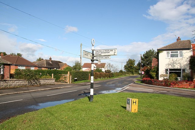
Gilbert's Wood is a popular spot for recreational activities, attracting hikers, joggers, and families looking to enjoy a picnic in a natural setting. The wood is well-maintained, with clear signposts and picnic areas scattered throughout, providing a welcoming and accessible environment for all.
With its captivating beauty and abundance of wildlife, Gilbert's Wood offers a peaceful retreat from the hustle and bustle of daily life. Whether one seeks solitude, exercise, or simply a connection with nature, this wood provides an oasis of tranquility in the heart of Lincolnshire.
If you have any feedback on the listing, please let us know in the comments section below.
Gilbert's Wood Images
Images are sourced within 2km of 53.137128/-0.68869263 or Grid Reference SK8760. Thanks to Geograph Open Source API. All images are credited.


Gilbert's Wood is located at Grid Ref: SK8760 (Lat: 53.137128, Lng: -0.68869263)
Administrative County: Lincolnshire
District: North Kesteven
Police Authority: Lincolnshire
What 3 Words
///debt.nutty.gladiator. Near Bassingham, Lincolnshire
Nearby Locations
Related Wikis

RAF Swinderby
Royal Air Force Swinderby or more simply RAF Swinderby is a former Royal Air Force station airfield opened in 1940, one of the last of the stations completed...
Witham St Hughs
Witham St Hughs is a village in the Parish of Thurlby in the North Kesteven district of Lincolnshire, England. The population of the civil parish (including...

Norton Disney
Norton Disney is a small village and civil parish on the western boundary of the North Kesteven district of Lincolnshire, England. It is situated on the...

Swinderby
Swinderby is a village and civil parish in the North Kesteven district of Lincolnshire, England. The village is situated just north of the A46 road, 8...

Thurlby, North Kesteven
Thurlby is a village and civil parish in the North Kesteven district of Lincolnshire, England, about 9 miles (14 km) south-west of the city of Lincoln...
Stapleford, Lincolnshire
Stapleford is a village and civil parish in North Kesteven district of Lincolnshire, England, and about 6 miles (10 km) north-east from the town of Newark...
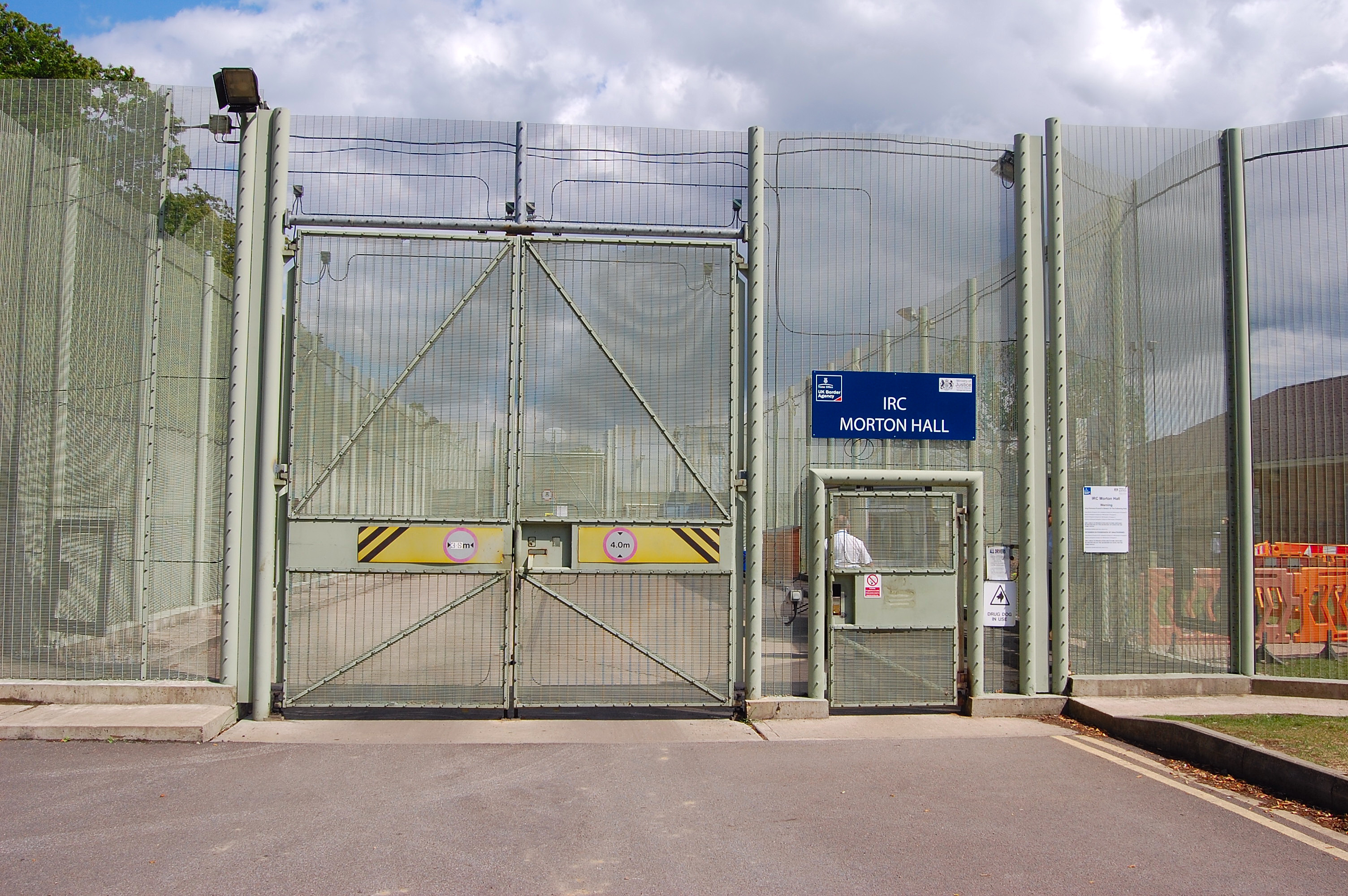
HM Prison Morton Hall
HM Prison Morton Hall is a Category C men's prison, located in the village of Morton Hall (near Lincoln) in Lincolnshire, England. The centre is operated...
Bassingham
Bassingham is a village and civil parish in the North Kesteven district of Lincolnshire, England. The population of the civil parish at the 2011 census...
Nearby Amenities
Located within 500m of 53.137128,-0.68869263Have you been to Gilbert's Wood?
Leave your review of Gilbert's Wood below (or comments, questions and feedback).