Anderson's Holt
Wood, Forest in Lincolnshire
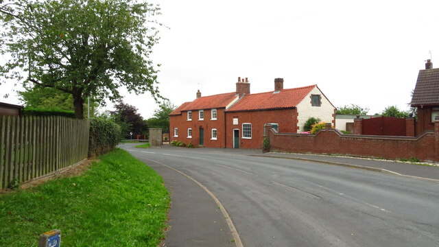
England
Anderson's Holt

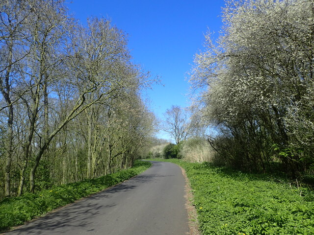
Anderson's Holt is a picturesque woodland area located in the county of Lincolnshire, England. This enchanting forest spans over acres of lush greenery and is known for its serene and tranquil atmosphere.
The forest is named after the Anderson family, who were the original owners of the land and took great pride in preserving its natural beauty. Anderson's Holt is a haven for nature lovers and outdoor enthusiasts, offering a diverse range of flora and fauna.
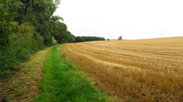
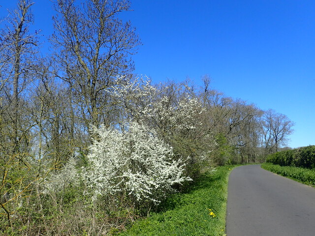
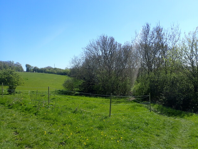
The woodland is home to a variety of tree species, including oak, beech, and birch, which create a dense canopy above, providing shade and shelter to the forest floor. The forest is also teeming with wildlife, including deer, foxes, and a wide array of bird species, making it a popular spot for birdwatching and wildlife photography.
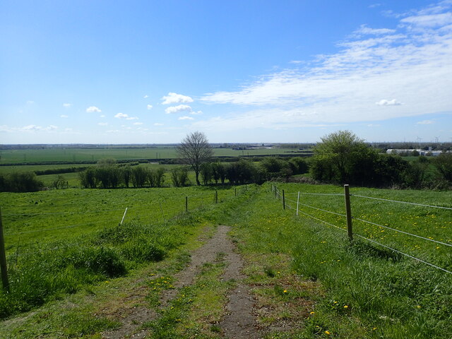
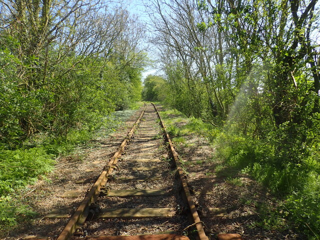
Visitors to Anderson's Holt can enjoy a network of well-maintained walking trails, allowing them to explore the forest at their own pace. The trails lead through ancient woodlands, across babbling streams, and past breathtaking viewpoints, providing a truly immersive experience in nature.
The forest is not only a haven for wildlife but also serves as an important ecological site, playing a crucial role in maintaining the local ecosystem. Its conservation efforts have been recognized and supported by various organizations, emphasizing the significance of preserving this natural gem.
Anderson's Holt is a place where visitors can escape the hustle and bustle of everyday life and reconnect with nature. Whether it's a leisurely stroll, a picnic amidst the trees, or simply soaking in the beauty of the surroundings, this woodland sanctuary offers a peaceful retreat for all who venture within its boundaries.
If you have any feedback on the listing, please let us know in the comments section below.
Anderson's Holt Images
Images are sourced within 2km of 53.629601/-0.67766309 or Grid Reference SE8715. Thanks to Geograph Open Source API. All images are credited.


Anderson's Holt is located at Grid Ref: SE8715 (Lat: 53.629601, Lng: -0.67766309)
Unitary Authority: North Lincolnshire
Police Authority: Humberside
What 3 Words
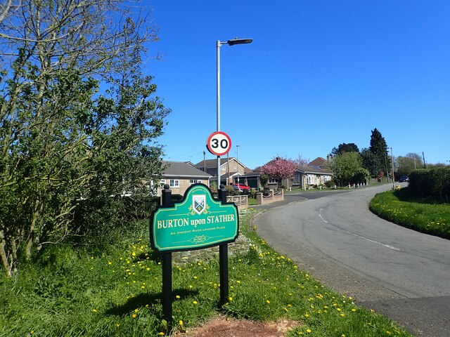
///solar.bedspread.coder. Near Burton upon Stather, Lincolnshire
Nearby Locations
Related Wikis

Flixborough
Flixborough is a village and civil parish in North Lincolnshire, England. The population of the civil parish at the 2011 census was 1,664. It is situated...
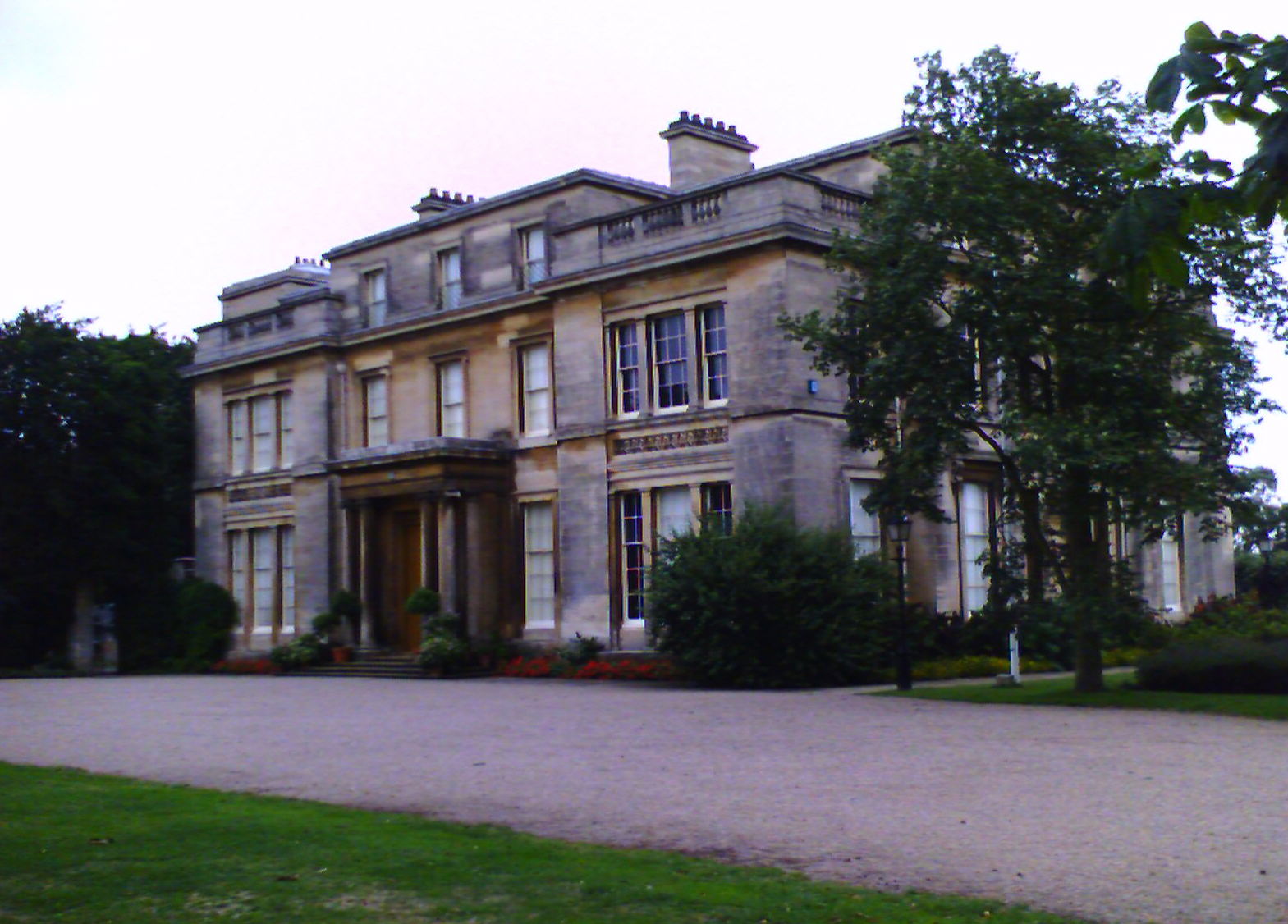
Normanby Hall
Normanby Hall is a classic English mansion, located near the village of Burton-upon-Stather, 5 miles (8 km) north of Scunthorpe, North Lincolnshire....

Glanford Power Station
Glanford Power Station is an electricity generating plant located on the Flixborough industrial estate near Scunthorpe in North Lincolnshire. It generates...
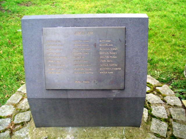
Flixborough disaster
The Flixborough disaster was an explosion at a chemical plant close to the village of Flixborough, North Lincolnshire, England, on 1 June 1974. It killed...
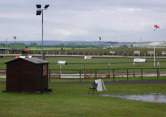
Eddie Wright Raceway
The Eddie Wright Raceway is a British race track in Scunthorpe, North Lincolnshire. It is primarily used for motorcycle speedway, but also occasionally...

Burton upon Stather
Burton upon Stather, also hyphenated as Burton-upon-Stather, is a village and civil parish in North Lincolnshire, England. The village is situated 5 miles...

Atkinsons Warren
Atkinsons Warren is a large area of woodland in northwest Scunthorpe, North Lincolnshire, England. It is a Local Nature Reserve, and includes a meadow...

Pauper's Drain
Pauper’s Drain is a small tributary of the River Trent in North Lincolnshire, England, and is 9 km (6 miles) long.It has a catchment area of 42 square...
Have you been to Anderson's Holt?
Leave your review of Anderson's Holt below (or comments, questions and feedback).