Crompton's Holt
Wood, Forest in Lincolnshire North Kesteven
England
Crompton's Holt
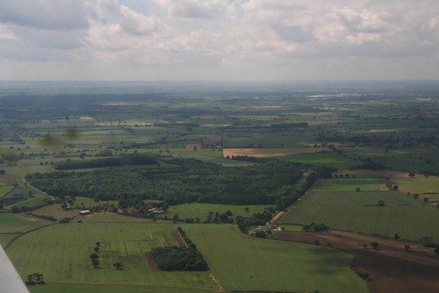
Crompton's Holt is a small village located in the county of Lincolnshire, England. Situated in the heart of the Lincolnshire Wolds, it is surrounded by picturesque woodlands and forests, making it a popular destination for nature enthusiasts and individuals seeking tranquility.
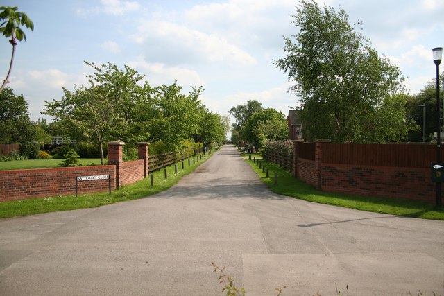
The village itself is characterized by its quaint charm and traditional architecture. The houses are predominantly built using local materials, such as limestone and timber, giving the area a rustic and timeless feel. The streets are lined with well-kept gardens and vibrant flowers, enhancing the overall beauty of the village.
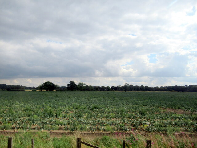
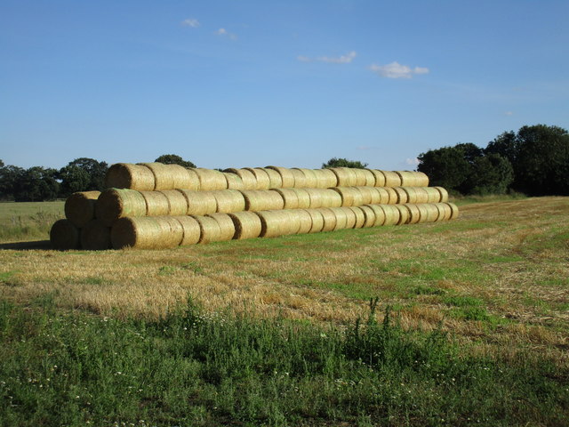
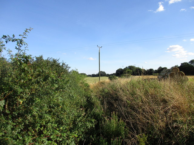
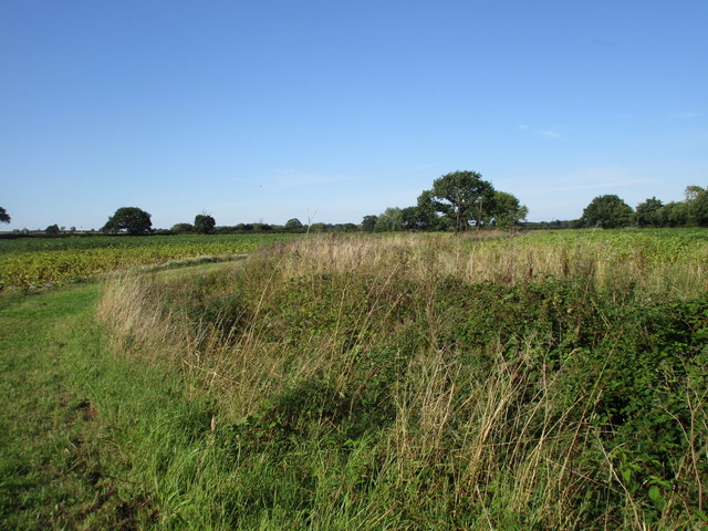
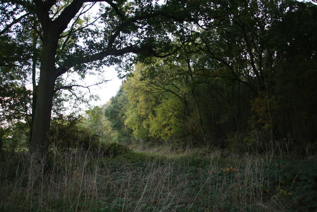
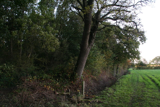
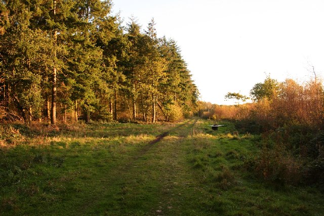
One of the main attractions of Crompton's Holt is its lush woodlands and forests. These natural areas provide a haven for wildlife, including various species of birds, mammals, and insects. They also offer numerous walking trails and paths, allowing visitors to explore the enchanting surroundings and immerse themselves in nature.
In addition to its natural beauty, Crompton's Holt has a close-knit community. The village boasts a village hall, where residents gather for social events and activities, fostering a sense of camaraderie among its inhabitants. There is also a local pub, serving traditional English food and beverages, providing a cozy place for locals and tourists to unwind.
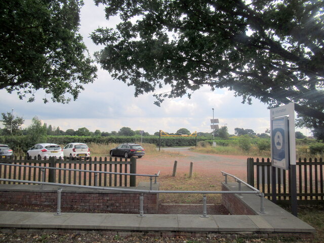
Crompton's Holt is conveniently located near other attractions in Lincolnshire, such as historical sites, market towns, and coastal areas. With its serene woodlands, charming village atmosphere, and proximity to other points of interest, Crompton's Holt offers a delightful escape for those seeking a peaceful retreat in the heart of nature.
If you have any feedback on the listing, please let us know in the comments section below.
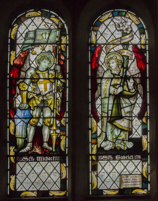
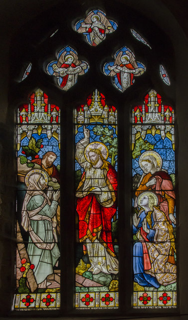
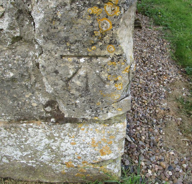
Crompton's Holt Images
Images are sourced within 2km of 53.167103/-0.69391244 or Grid Reference SK8764. Thanks to Geograph Open Source API. All images are credited.


Crompton's Holt is located at Grid Ref: SK8764 (Lat: 53.167103, Lng: -0.69391244)
Administrative County: Lincolnshire
District: North Kesteven
Police Authority: Lincolnshire
What 3 Words
///ferrets.vocals.infringe. Near North Collingham, Nottinghamshire
Nearby Locations
Related Wikis

Morton Hall
Morton Hall is a small village in the civil parish of Swinderby , in the North Kesteven district of Lincolnshire, England. It is situated 8 miles (13 km...
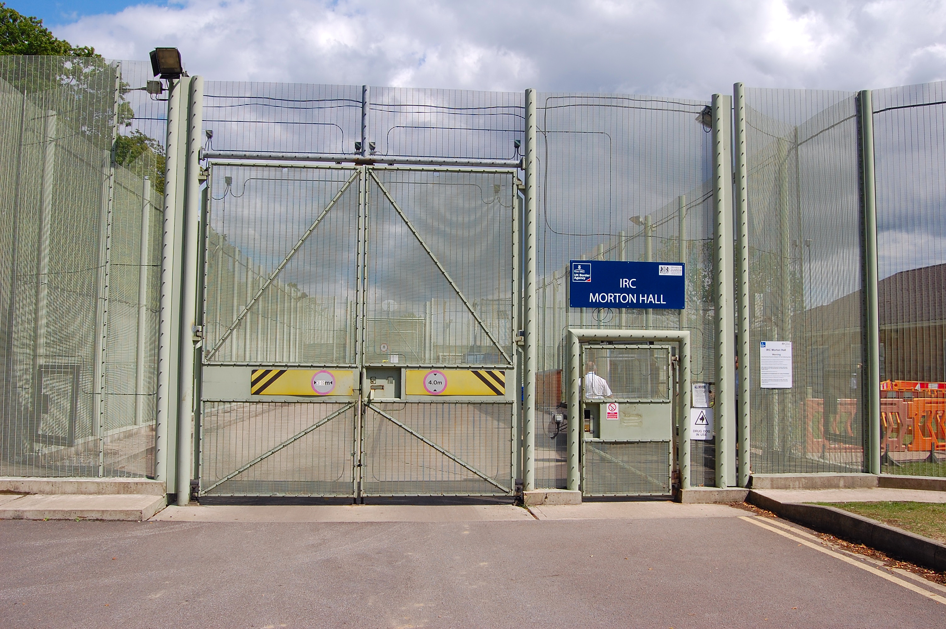
HM Prison Morton Hall
HM Prison Morton Hall is a Category C men's prison, located in the village of Morton Hall (near Lincoln) in Lincolnshire, England. The centre is operated...

Swinderby railway station
Swinderby railway station serves the villages of Swinderby, North Scarle, Eagle and Morton Hall in Lincolnshire, England. The station is 8.75 miles (14...

Swinderby
Swinderby is a village and civil parish in the North Kesteven district of Lincolnshire, England. The village is situated just north of the A46 road, 8...

Eagle Barnsdale
Eagle Barnsdale is a village in the North Kesteven district of Lincolnshire, England. The population can be found included in the civil parish of Eagle...
Tunman Wood
Tunman Wood is a local nature reserve with an area of over 53 ha (130 acres) located near Eagle Barnsdale, Lincolnshire. It is an area of ancient woodland...
South Scarle
South Scarle is a village and civil parish in the Newark and Sherwood district of Nottinghamshire, England. It has a community centre, a post office and...
Witham St Hughs
Witham St Hughs is a village in the Parish of Thurlby in the North Kesteven district of Lincolnshire, England. The population of the civil parish (including...
Nearby Amenities
Located within 500m of 53.167103,-0.69391244Have you been to Crompton's Holt?
Leave your review of Crompton's Holt below (or comments, questions and feedback).