Bingham's Holt
Wood, Forest in Lincolnshire North Kesteven
England
Bingham's Holt
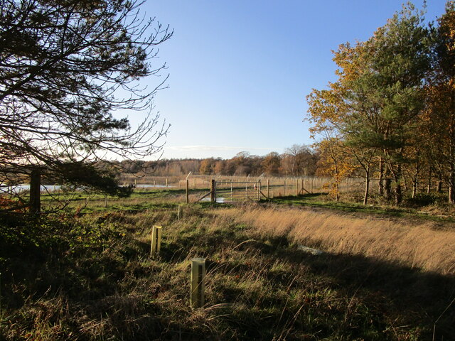
Bingham's Holt is a small woodland area located in Lincolnshire, England. It is situated in the village of Bingham, near the town of Grantham. This ancient woodland is known for its picturesque beauty and diverse ecosystem.
Covering an area of approximately 50 acres, Bingham's Holt is predominantly made up of deciduous trees such as oak, ash, and beech. These majestic trees create a dense canopy, providing shade and shelter for a wide variety of flora and fauna.
The woodland is home to a rich array of wildlife, including deer, badgers, foxes, and a wide variety of bird species. It is a popular spot for birdwatching enthusiasts who can spot species such as woodpeckers, owls, and warblers.
Bingham's Holt is also renowned for its wildflowers, which carpet the forest floor during the spring and summer months. Bluebells, primroses, and wood anemones are just a few of the vibrant blooms that can be found here.
In addition to its natural beauty, Bingham's Holt has historical significance. It is believed to have been part of an ancient royal hunting ground and has remnants of old hunting lodges. The woodland is steeped in folklore and legends, adding to its mystique.
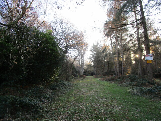
The woodland is open to the public, with well-marked trails and footpaths for visitors to explore. It offers a peaceful and tranquil environment, perfect for nature lovers and those seeking a break from the hustle and bustle of everyday life.
In conclusion, Bingham's Holt is a charming woodland area in Lincolnshire, offering a glimpse into the natural beauty and rich history of the region.
If you have any feedback on the listing, please let us know in the comments section below.
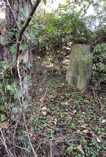
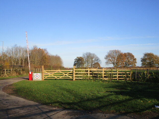
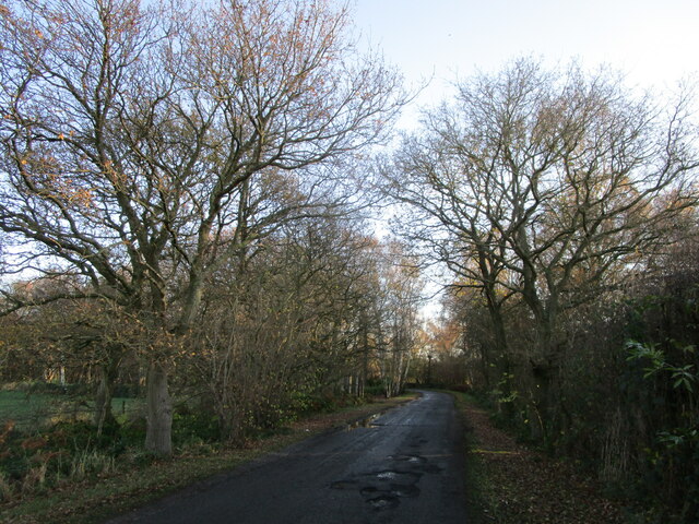
Bingham's Holt Images
Images are sourced within 2km of 53.141032/-0.6954658 or Grid Reference SK8761. Thanks to Geograph Open Source API. All images are credited.


Bingham's Holt is located at Grid Ref: SK8761 (Lat: 53.141032, Lng: -0.6954658)
Administrative County: Lincolnshire
District: North Kesteven
Police Authority: Lincolnshire
What 3 Words
///engine.originate.slippery. Near North Collingham, Nottinghamshire
Nearby Locations
Related Wikis

RAF Swinderby
Royal Air Force Swinderby or more simply RAF Swinderby is a former Royal Air Force station airfield opened in 1940, one of the last of the stations completed...

Swinderby
Swinderby is a village and civil parish in the North Kesteven district of Lincolnshire, England. The village is situated just north of the A46 road, 8...
Witham St Hughs
Witham St Hughs is a village in the Parish of Thurlby in the North Kesteven district of Lincolnshire, England. The population of the civil parish (including...

Norton Disney
Norton Disney is a small village and civil parish on the western boundary of the North Kesteven district of Lincolnshire, England. It is situated on the...

Morton Hall
Morton Hall is a small village in the civil parish of Swinderby , in the North Kesteven district of Lincolnshire, England. It is situated 8 miles (13 km...
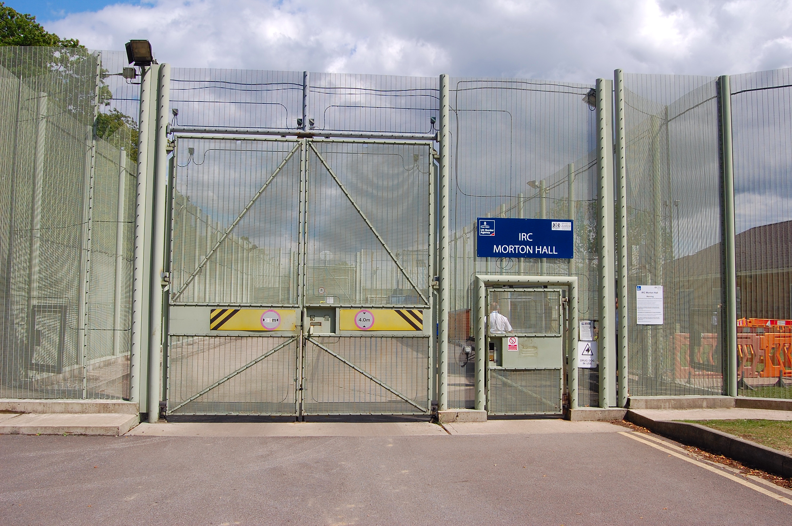
HM Prison Morton Hall
HM Prison Morton Hall is a Category C men's prison, located in the village of Morton Hall (near Lincoln) in Lincolnshire, England. The centre is operated...

Swinderby railway station
Swinderby railway station serves the villages of Swinderby, North Scarle, Eagle and Morton Hall in Lincolnshire, England. The station is 8.75 miles (14...

Thurlby, North Kesteven
Thurlby is a village and civil parish in the North Kesteven district of Lincolnshire, England, about 9 miles (14 km) south-west of the city of Lincoln...
Nearby Amenities
Located within 500m of 53.141032,-0.6954658Have you been to Bingham's Holt?
Leave your review of Bingham's Holt below (or comments, questions and feedback).