Bottom Plantation

Wood, Forest in Leicestershire Melton

England

Bottom Plantation

Benchmark on St John the Baptist's Church Ordnance Survey cut mark benchmark described on the Bench Mark Database at <span class="nowrap"><a title="www.bench-marks.org.uk/bm61430" rel="nofollow ugc noopener" href="http://www.bench-marks.org.uk/bm61430">Link</a><img style="margin-left:2px;" alt="External link" title="External link - shift click to open in new window" src="https://s1.geograph.org.uk/img/external.png" width="10" height="10"/></span>
Benchmark on St John the Baptist's Church Credit: Phil Richards

Bottom Plantation is a wooded area located in Leicestershire, England. Situated in the heart of the county, it forms part of the larger Charnwood Forest, a designated Area of Outstanding Natural Beauty. The plantation covers an area of approximately 200 acres and is primarily composed of deciduous trees, such as oak, beech, and birch, interspersed with patches of coniferous trees.

The name "Bottom Plantation" refers to its position at the bottom of a gently sloping valley, providing a picturesque and tranquil setting. The woodland boasts a diverse range of wildlife, including various bird species, small mammals, and insects. It is a popular spot for birdwatching and nature enthusiasts, who can wander along the well-maintained paths that wind through the plantation.

The plantation offers a wealth of recreational opportunities for visitors. There are designated picnic areas and benches scattered throughout the woodland, providing the perfect setting for a leisurely lunch or a peaceful moment of reflection. Walking and hiking trails crisscross the plantation, allowing visitors to explore the beautiful surroundings at their own pace. In addition, the plantation is a popular location for orienteering and geocaching activities.

Bottom Plantation is easily accessible, with a car park located nearby, and it is open to the public throughout the year. The woodland is managed by the local council, ensuring its preservation and maintenance for future generations to enjoy. Whether it's a leisurely stroll, a family picnic, or an opportunity to immerse oneself in nature, Bottom Plantation offers a serene and enchanting escape from the bustle of everyday life.

If you have any feedback on the listing, please let us know in the comments section below.

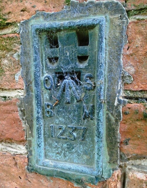
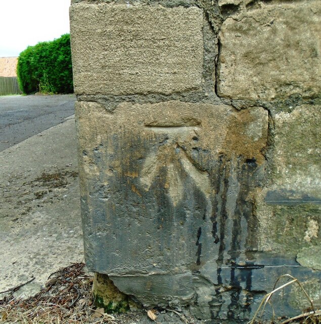
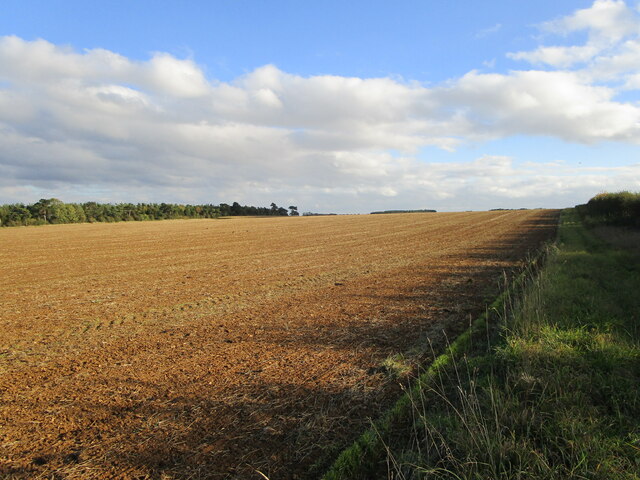
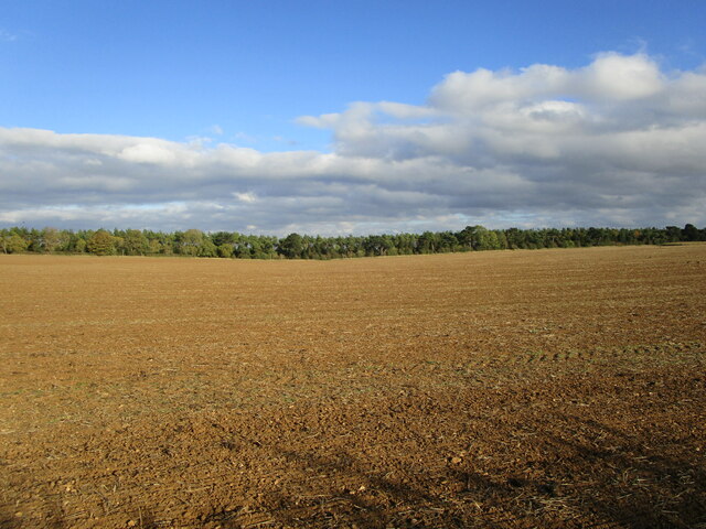
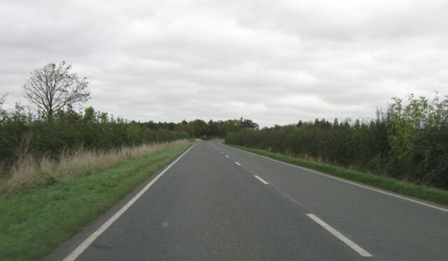
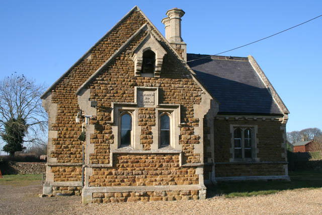
Bottom Plantation Images

Images are sourced within 2km of 52.806083/-0.70638795 or Grid Reference SK8723. Thanks to Geograph Open Source API. All images are credited.

Benchmark on St John the Baptist's Church Ordnance Survey cut mark benchmark described on the Bench Mark Database at <span class="nowrap"><a title="www.bench-marks.org.uk/bm61430" rel="nofollow ugc noopener" href="http://www.bench-marks.org.uk/bm61430">Link</a><img style="margin-left:2px;" alt="External link" title="External link - shift click to open in new window" src="https://s1.geograph.org.uk/img/external.png" width="10" height="10"/></span>
Benchmark on St John the Baptist's Church
Ordnance Survey cut mark benchmark described on the Bench Mark Database at LinkExternal link
St John the Baptist's Church There is an Ordnance Survey benchmark <a href="https://www.geograph.org.uk/photo/6924302">SK8723 : Benchmark on St John the Baptist's Church</a> on the corner of the church in the middle of the image
St John the Baptist's Church
There is an Ordnance Survey benchmark SK8723 : Benchmark on St John the Baptist's Church on the corner of the church in the middle of the image
Benchmark on building on NW side of Main Street Ordnance Survey flush bracket (serial number 1237) benchmark described on the Bench Mark Database at <span class="nowrap"><a title="www.bench-marks.org.uk/bm1589" rel="nofollow ugc noopener" href="http://www.bench-marks.org.uk/bm1589">Link</a><img style="margin-left:2px;" alt="External link" title="External link - shift click to open in new window" src="https://s1.geograph.org.uk/img/external.png" width="10" height="10"/></span>
Benchmark on building on NW side of Main Street
Ordnance Survey flush bracket (serial number 1237) benchmark described on the Bench Mark Database at LinkExternal link
Building with new spiral staircase on NW side of B676 There is an Ordnance Survey flush bracket <a href="https://www.geograph.org.uk/photo/6924448">SK8822 : Benchmark on building on NW side of Main Street</a> on the right hand side of the building behind the fire escape
Building with new spiral staircase on NW side of B676
There is an Ordnance Survey flush bracket SK8822 : Benchmark on building on NW side of Main Street on the right hand side of the building behind the fire escape
Benchmark on house beside B676 Ordnance Survey cut mark benchmark described on the Bench Mark Database at <span class="nowrap"><a title="www.bench-marks.org.uk/bm75089" rel="nofollow ugc noopener" href="http://www.bench-marks.org.uk/bm75089">Link</a><img style="margin-left:2px;" alt="External link" title="External link - shift click to open in new window" src="https://s1.geograph.org.uk/img/external.png" width="10" height="10"/></span>
Benchmark on house beside B676
Ordnance Survey cut mark benchmark described on the Bench Mark Database at LinkExternal link
House on NW side of Main Street There is an Ordnance Survey benchmark <a href="https://www.geograph.org.uk/photo/6924504">SK8822 : Benchmark on house beside B676</a> on the near corner, road face, of the house
House on NW side of Main Street
There is an Ordnance Survey benchmark SK8822 : Benchmark on house beside B676 on the near corner, road face, of the house
Buckminster: aerial 2021 (1)
Buckminster: aerial 2021
The Drift More like The Flow. Rain plus the use of off-road vehicles has rendered this part of the Viking Way impassable to walkers. See also <a href="https://www.geograph.org.uk/photo/4733412">SK8824 : The Viking Way at Cringle Brook</a> which shows that this has been an issue for some time.
The Drift
More like The Flow. Rain plus the use of off-road vehicles has rendered this part of the Viking Way impassable to walkers. See also SK8824 : The Viking Way at Cringle Brook which shows that this has been an issue for some time.
Prepared field near Sproxton Lodge
The Drift near Buckminster Forms the county boundary between Leicestershire (left) and Lincolnshire.
The Drift near Buckminster
Forms the county boundary between Leicestershire (left) and Lincolnshire.
Track to Skillington Buckminster Lane.
Track to Skillington
Buckminster Lane.
The Drift Forms the county boundary between Leicestershire (left) and Lincolnshire.
The Drift
Forms the county boundary between Leicestershire (left) and Lincolnshire.
The beginning of a footpath to Skillington
The Drift Forms the county boundary between Leicestershire (left) and Lincolnshire.
The Drift
Forms the county boundary between Leicestershire (left) and Lincolnshire.
Prepared field and narrow strip of woodland
B676 eastbound
B676 eastbound
Show me another place!

Bottom Plantation is located at Grid Ref: SK8723 (Lat: 52.806083, Lng: -0.70638795)

Administrative County: Leicestershire

District: Melton

Police Authority: Leicestershire

What 3 Words

///pines.crumbles.piglet. Near Wymondham, Leicestershire

Related Wikis

Church of St John the Baptist, Buckminster

The Church of St John the Baptist is a church in Buckminster, Leicestershire. It is a Grade I listed building. == History == The church consists of a nave...

Sproxton Quarry

Sproxton Quarry is a 5.4 hectares (13 acres) geological Site of Special Scientific Interest north-east of Sproxton in Leicestershire. It is a Geological...

Buckminster

Buckminster is a village and civil parish within the Melton district of Leicestershire, England, which includes the two villages of Buckminster and Sewstern...

Sproxton, Leicestershire

Sproxton () is a village and civil parish within the Borough of Melton in Leicestershire, England, close to the border with Lincolnshire. It has approximately...

RAF Buckminster

Royal Air Force Buckminster or more simply RAF Buckminster is a former Royal Flying Corps and Royal Air Force station 2.25 miles (3.62 km) west of Colsterworth...

Buckminster Gliding Club

The Buckminster Gliding Club (BGC) is a gliding club based at Saltby Airfield on the Leicestershire / Lincolnshire border, England. It is affiliated with...

RAF Saltby

Royal Air Force Saltby or more simply RAF Saltby is a former Royal Air Force station located near Saltby, Leicestershire, England The following units were...

Coston, Leicestershire

Coston is a village and former civil parish, now in the parish of Garthorpe in the Melton district, in the eastern part of Leicestershire, England. In...

Have you been to Bottom Plantation?

Leave your review of Bottom Plantation below (or comments, questions and feedback).