Beeching-grove Wood

Wood, Forest in Berkshire

England

Beeching-grove Wood

St John the Baptist, Cookham Dean - north-east elevation The main part of the church dates from 1845-46. Seen here is the present vestry which was added in 1891 and enlarged in 1978.
St John the Baptist, Cookham Dean - north-east elevation Credit: David Kemp

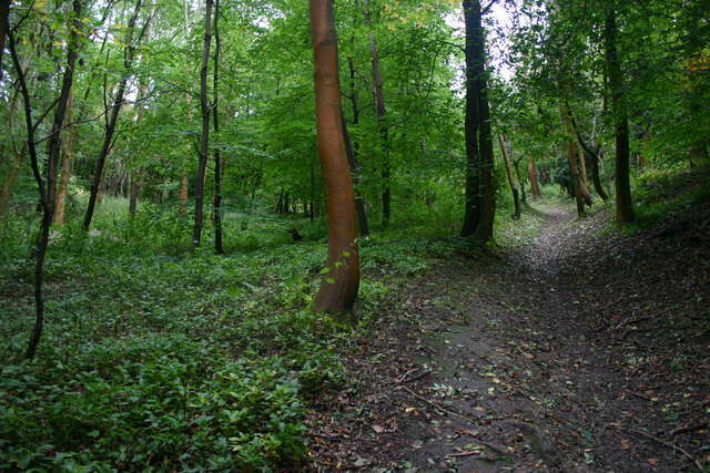
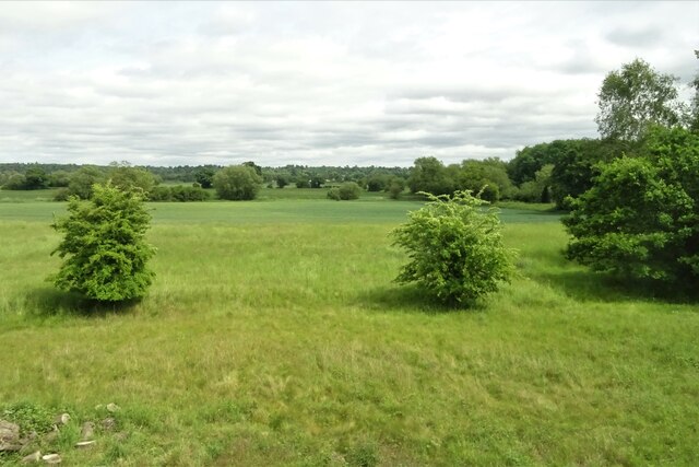
Beeching-grove Wood is a picturesque woodland located in Berkshire, England. Nestled amidst the beautiful countryside, this tranquil forest spans over a vast area, captivating visitors with its natural charm and diverse ecosystems. The wood is named after the Beeching family, who were the original owners of the land.

As visitors step into Beeching-grove Wood, they are greeted by a rich tapestry of trees, including oak, beech, and ash. The dense canopy of foliage provides a haven for numerous species of birds, creating a melodious symphony that echoes throughout the forest. The forest floor is adorned with a carpet of wildflowers, adding vibrant hues to the landscape during the spring and summer months.

Walking trails wind their way through Beeching-grove Wood, offering visitors the opportunity to explore its wonders at their own pace. These paths lead to secluded clearings, where one can sit and listen to the soothing sounds of nature or indulge in a peaceful picnic surrounded by the serene ambiance of the forest.

Beeching-grove Wood is not only a haven for nature enthusiasts but also a valuable habitat for a wide range of wildlife. Foxes, deer, and rabbits can often be spotted darting through the undergrowth, while squirrels scamper across the branches above. The wood also supports a variety of insects, including butterflies and bees, which play a crucial role in pollination.

With its enchanting beauty and diverse flora and fauna, Beeching-grove Wood offers a refuge from the hustle and bustle of everyday life. It is a place where one can connect with nature, find solace, and appreciate the wonders of the natural world.

If you have any feedback on the listing, please let us know in the comments section below.

Beeching-grove Wood Images

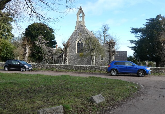
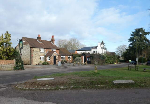
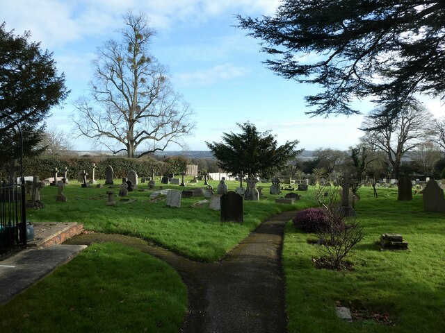
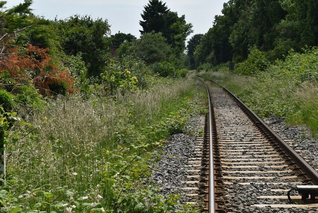
Images are sourced within 2km of 51.544059/-0.74841199 or Grid Reference SU8683. Thanks to Geograph Open Source API. All images are credited.

St John the Baptist, Cookham Dean - north-east elevation The main part of the church dates from 1845-46. Seen here is the present vestry which was added in 1891 and enlarged in 1978.
St John the Baptist, Cookham Dean - north-east elevation
The main part of the church dates from 1845-46. Seen here is the present vestry which was added in 1891 and enlarged in 1978.
St John the Baptist, Cookham Dean - south-east elevation The main part of the church dates from 1845-46. The building on the side is the former vestry added in 1856.
St John the Baptist, Cookham Dean - south-east elevation
The main part of the church dates from 1845-46. The building on the side is the former vestry added in 1856.
Dry Cottage, Grubwood Lane, Cookham Dean The property stands on the edge of Quarry Wood which can be seen in the background.
Dry Cottage, Grubwood Lane, Cookham Dean
The property stands on the edge of Quarry Wood which can be seen in the background.
Ascent through Quarry Wood, Cookham Dean Quarry Wood is part of the chalky bluff topped here by fluvially deposited gravels and cut through by the Thames as it turns south and away from its original course.
Ascent through Quarry Wood, Cookham Dean
Quarry Wood is part of the chalky bluff topped here by fluvially deposited gravels and cut through by the Thames as it turns south and away from its original course.
St John the Baptist, Cookham Dean: early February 2022
Cookham Dean War Memorial: early February 2022
Traffic jam in Cookham Dean
St John the Baptist, Cookham Dean: churchyard
Grassland near Maidenhead
Houses on Sandringham Road, Maidenhead
Harrow Lane, Maidenhead
Harrow Close
Harrow Close
Ellington Park
Ellington Park
GWR Train on Marlow Branch Line The Marlow Branch Line is a 7.25-mile  single track railway line between Maidenhead in Berkshire and Bourne End and Marlow, Buckinghamshire. Passenger services are operated by First Great Western. The line connects to the Great Western Main Line at Maidenhead station, and uses a section of the former Wycombe Railway line to High Wycombe together with the former Great Marlow Railway. The line opened in 1854 and the extension to Marlow was opened in 1873.
Wikipedia: <span class="nowrap"><a title="http://en.wikipedia.org/wiki/Marlow_Branch_Line" rel="nofollow ugc noopener" href="http://en.wikipedia.org/wiki/Marlow_Branch_Line">Link</a><img style="margin-left:2px;" alt="External link" title="External link - shift click to open in new window" src="https://s1.geograph.org.uk/img/external.png" width="10" height="10"/></span>
GWR Train on Marlow Branch Line
The Marlow Branch Line is a 7.25-mile single track railway line between Maidenhead in Berkshire and Bourne End and Marlow, Buckinghamshire. Passenger services are operated by First Great Western. The line connects to the Great Western Main Line at Maidenhead station, and uses a section of the former Wycombe Railway line to High Wycombe together with the former Great Marlow Railway. The line opened in 1854 and the extension to Marlow was opened in 1873. Wikipedia: LinkExternal link
18, Harrow Lane
18, Harrow Lane
Marlow Branch Line The Marlow Branch Line is a 7.25-mile  single track railway line between Maidenhead in Berkshire and Bourne End and Marlow, Buckinghamshire. Passenger services are operated by First Great Western. The line connects to the Great Western Main Line at Maidenhead station, and uses a section of the former Wycombe Railway line to High Wycombe together with the former Great Marlow Railway. The line opened in 1854 and the extension to Marlow was opened in 1873.
Wikipedia: <span class="nowrap"><a title="http://en.wikipedia.org/wiki/Marlow_Branch_Line" rel="nofollow ugc noopener" href="http://en.wikipedia.org/wiki/Marlow_Branch_Line">Link</a><img style="margin-left:2px;" alt="External link" title="External link - shift click to open in new window" src="https://s1.geograph.org.uk/img/external.png" width="10" height="10"/></span>
Marlow Branch Line
The Marlow Branch Line is a 7.25-mile single track railway line between Maidenhead in Berkshire and Bourne End and Marlow, Buckinghamshire. Passenger services are operated by First Great Western. The line connects to the Great Western Main Line at Maidenhead station, and uses a section of the former Wycombe Railway line to High Wycombe together with the former Great Marlow Railway. The line opened in 1854 and the extension to Marlow was opened in 1873. Wikipedia: LinkExternal link
Furze Platt Station Furze Platt is a station on the Marlow Branch Line in Maidenhead. It opened in 1937.
Wikipedia: <span class="nowrap"><a title="https://en.wikipedia.org/wiki/Furze_Platt_railway_station" rel="nofollow ugc noopener" href="https://en.wikipedia.org/wiki/Furze_Platt_railway_station">Link</a><img style="margin-left:2px;" alt="External link" title="External link - shift click to open in new window" src="https://s1.geograph.org.uk/img/external.png" width="10" height="10"/></span>
Furze Platt Station
Furze Platt is a station on the Marlow Branch Line in Maidenhead. It opened in 1937. Wikipedia: LinkExternal link
Show me another place!

Beeching-grove Wood is located at Grid Ref: SU8683 (Lat: 51.544059, Lng: -0.74841199)

Unitary Authority: Windsor and Maidenhead

Police Authority: Thames Valley

What 3 Words

///widget.passenger.sitting. Near Bisham, Berkshire

Nearby Locations

Beeching-grove Wood

Related Wikis

Cannoncourt Farm Pit

Cannoncourt Farm Pit is a 0.3-hectare (0.74-acre) geological Site of Special Scientific Interest in Maidenhead in Berkshire. It is a Geological Conservation...

Furze Platt Senior School

Furze Platt Senior School is a mixed comprehensive secondary school with academy status in Maidenhead. The school draws pupils from across Maidenhead,...

Cookham Dean

Cookham Dean is a village to the west of the village of Cookham in Berkshire, England. It is the highest point of all the Cookhams (Cookham Rise, Cookham...

Park Wood and Goulding's Wood

Park Wood and Goulding's Wood is a 35.3-hectare (87-acre) Local nature reserve north-west of Maidenhead in Berkshire, England. It is owned by the Royal...

Hilda Carline

Hilda Anne Carline (1889–1950) was a British painter, daughter of the artist George Francis Carline, and first wife of the artist Stanley Spencer. She...

Pinkneys Green

Pinkneys Green is a semi-rural village near the town of Maidenhead, Berkshire. It sits within the ancient parish of Cookham. == Location == Pinkneys Green...

Furze Platt railway station

Furze Platt railway station is a railway station in the town of Maidenhead, Berkshire, England. It is 1 mile 22 chains (2.1 km) down the line from Maidenhead...

Bisham Woods

Bisham Woods is an 86-hectare (210-acre) biological Site of Special Scientific Interest (SSSI) west of Cookham in Berkshire. The site is also a Local Nature...

Nearby Amenities

Located within 500m of 51.544059,-0.74841199
Barrier: kissing_gate
Foot: yes
Source: survey
Lat/Long: 51.5434069/-0.7518206
Barrier: kissing_gate
Source: survey
Lat/Long: 51.5427322/-0.7550194
Addr Housenumber: arable
Lat/Long: 51.5402216/-0.7499154
Addr Housenumber: arable
Lat/Long: 51.5435794/-0.7420257
Addr Housenumber: arable
Lat/Long: 51.5463284/-0.7447508
Addr Housenumber: arable
Lat/Long: 51.5461949/-0.7423905
Addr Housenumber: arable
Lat/Long: 51.5411273/-0.752938
Addr Housenumber: arable
Lat/Long: 51.543783/-0.752659
Barrier: kissing_gate
Kissing Gate: triangular
Material: wood
Lat/Long: 51.5400623/-0.7506697
Barrier: kissing_gate
Lat/Long: 51.5410243/-0.7520623
Barrier: kissing_gate
Source: survey
Lat/Long: 51.5410925/-0.7521143
Barrier: kissing_gate
Source: survey
Lat/Long: 51.5430476/-0.7520836
Access: no
Barrier: kissing_gate
Source: survey
Lat/Long: 51.5456457/-0.7546102
The data included in this document is from www.openstreetmap.org. The data is made available under ODbL.

Have you been to Beeching-grove Wood?

Leave your review of Beeching-grove Wood below (or comments, questions and feedback).