Birch Holt
Wood, Forest in Lincolnshire North Kesteven
England
Birch Holt
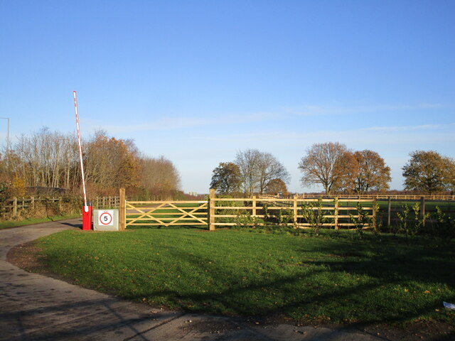
Birch Holt is a charming woodland area located in the county of Lincolnshire, England. Situated near the village of Bardney, it covers an expansive area with a diverse range of flora and fauna.
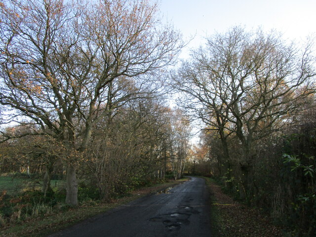
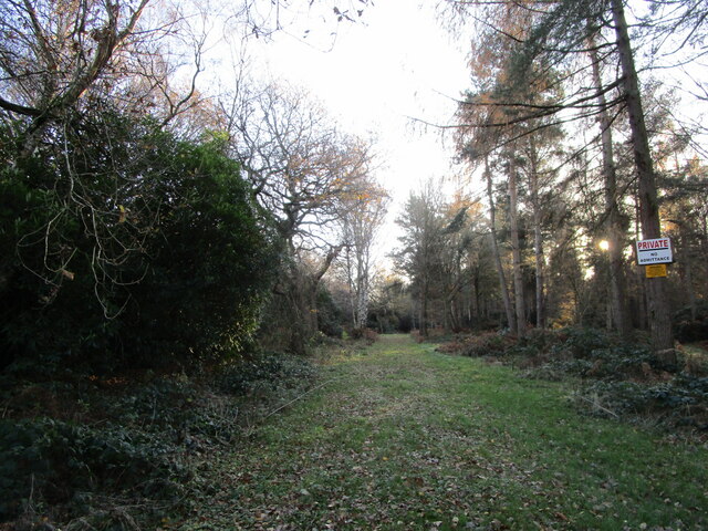
The woodland is primarily composed of birch trees, giving it its name, but it also features a mixture of other tree species such as oak, beech, and pine. The forest floor is covered in a lush carpet of moss, ferns, and wildflowers, creating a picturesque and serene atmosphere.
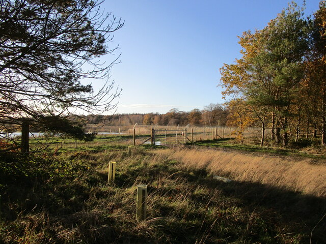
Birch Holt is a haven for wildlife, attracting an array of species. Birdwatchers will be delighted by the presence of various birds, including woodpeckers, owls, and songbirds. The forest is also home to small mammals like squirrels, foxes, and rabbits. If lucky, visitors might catch a glimpse of deer roaming freely among the trees.
The woodland offers numerous walking trails that allow visitors to explore its beauty. These well-marked paths wind through the forest, providing an opportunity to immerse oneself in nature and enjoy the peace and tranquility it offers. Along the way, visitors can enjoy the sound of birdsong, the rustling of leaves, and the scent of pine.
Birch Holt is a popular destination for nature enthusiasts and those seeking a peaceful retreat. Its natural beauty, diverse ecosystem, and well-maintained trails make it an ideal location for walking, birdwatching, and photography. Whether it is admiring the vibrant autumn colors or experiencing the fresh greenery of spring, Birch Holt is a place that captivates visitors throughout the year.
If you have any feedback on the listing, please let us know in the comments section below.
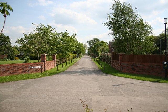
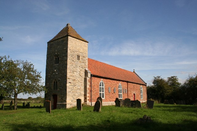
Birch Holt Images
Images are sourced within 2km of 53.134901/-0.70698217 or Grid Reference SK8660. Thanks to Geograph Open Source API. All images are credited.


Birch Holt is located at Grid Ref: SK8660 (Lat: 53.134901, Lng: -0.70698217)
Administrative County: Lincolnshire
District: North Kesteven
Police Authority: Lincolnshire
What 3 Words
///highlighted.sums.skunks. Near North Collingham, Nottinghamshire
Nearby Locations
Related Wikis

Norton Disney
Norton Disney is a small village and civil parish on the western boundary of the North Kesteven district of Lincolnshire, England. It is situated on the...

Swinderby
Swinderby is a village and civil parish in the North Kesteven district of Lincolnshire, England. The village is situated just north of the A46 road, 8...

RAF Swinderby
Royal Air Force Swinderby or more simply RAF Swinderby is a former Royal Air Force station airfield opened in 1940, one of the last of the stations completed...
Witham St Hughs
Witham St Hughs is a village in the Parish of Thurlby in the North Kesteven district of Lincolnshire, England. The population of the civil parish (including...
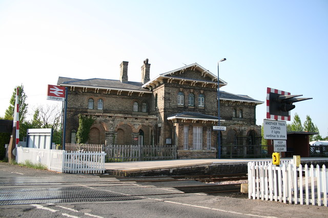
Collingham railway station
Collingham railway station is in the village of Collingham, Nottinghamshire, England, on the Nottingham to Lincoln Line. It is owned by Network Rail and...
Stapleford, Lincolnshire
Stapleford is a village and civil parish in North Kesteven district of Lincolnshire, England, and about 6 miles (10 km) north-east from the town of Newark...

Brough, Nottinghamshire
Brough is a hamlet in Nottinghamshire, England. == Location == It is located in the Newark and Sherwood District, 5 miles (8 km) to the north of Newark...
Newark Town F.C.
Newark Town Football Club is a football club from Newark on Trent. They are currently members of the United Counties League Division One. == History... ==
Nearby Amenities
Located within 500m of 53.134901,-0.70698217Have you been to Birch Holt?
Leave your review of Birch Holt below (or comments, questions and feedback).