Coston Covert
Wood, Forest in Leicestershire Melton
England
Coston Covert

Coston Covert is a small village located in the district of Leicestershire, England. It is situated within the larger area known as Wood, Forest. The village is nestled amidst beautiful natural surroundings, with lush greenery and a tranquil atmosphere.
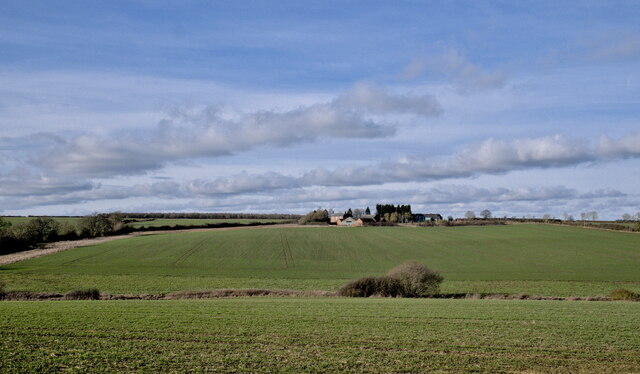
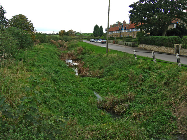
Coston Covert is known for its close proximity to various woodlands and forests, which provide ample opportunities for outdoor activities and exploration. The village is surrounded by well-preserved woodlands that are home to diverse wildlife and flora. The forested areas offer scenic walking trails, making it a popular destination for nature enthusiasts and hikers.
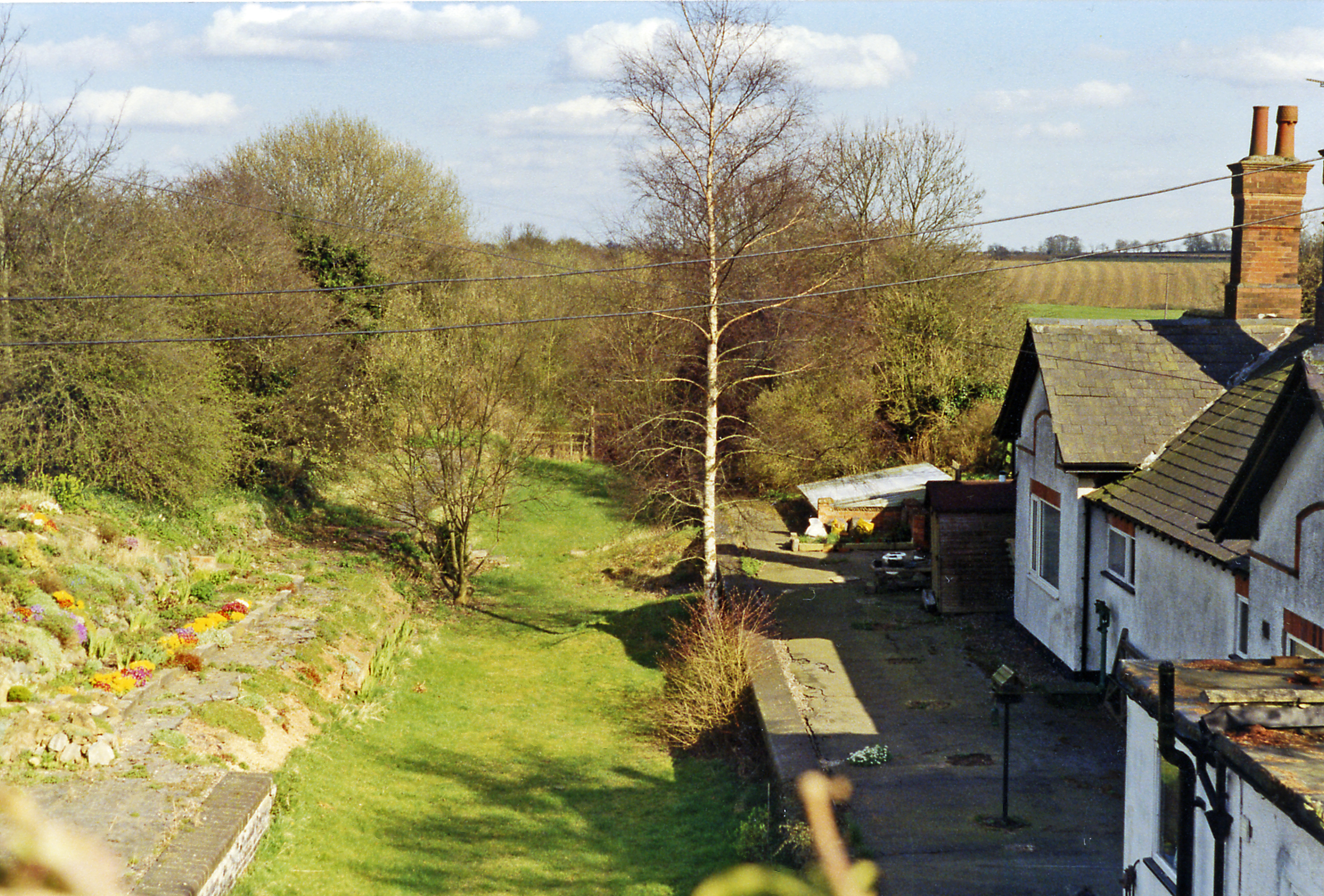
The village itself is quaint and picturesque, with traditional cottages and charming architecture. The community in Coston Covert is tight-knit, and residents take pride in maintaining the village's rural charm. The village has a small population and a peaceful ambiance, providing a sense of tranquility for its residents.
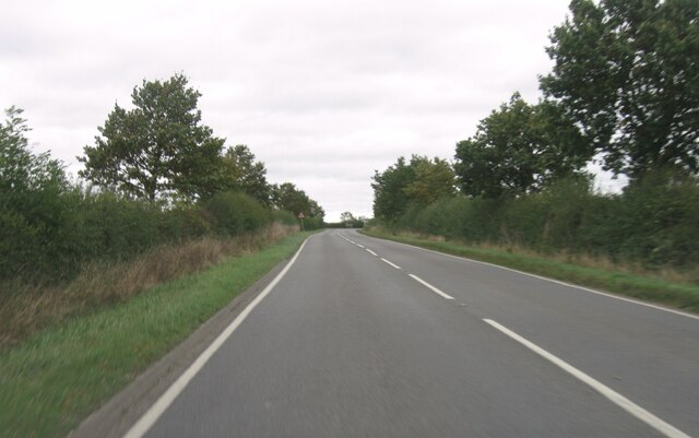
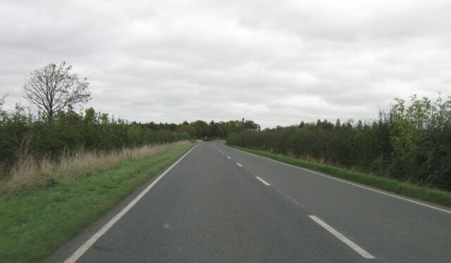
In terms of amenities, Coston Covert offers limited facilities within the village itself. However, the nearby town of Wood provides essential services such as shops, a post office, and a primary school. The village is well-connected to the surrounding areas through road networks, allowing for easy access to nearby towns and cities.
Overall, Coston Covert is a scenic and peaceful village located in the woodlands of Leicestershire. Its natural beauty, close-knit community, and proximity to outdoor recreational activities make it an attractive place to live for those seeking a serene countryside lifestyle.
If you have any feedback on the listing, please let us know in the comments section below.
Coston Covert Images
Images are sourced within 2km of 52.781286/-0.72031896 or Grid Reference SK8621. Thanks to Geograph Open Source API. All images are credited.


Coston Covert is located at Grid Ref: SK8621 (Lat: 52.781286, Lng: -0.72031896)
Administrative County: Leicestershire
District: Melton
Police Authority: Leicestershire
What 3 Words
///dancer.averts.clinked. Near Wymondham, Leicestershire
Nearby Locations
Related Wikis

Coston, Leicestershire
Coston is a village and former civil parish, now in the parish of Garthorpe in the Melton district, in the eastern part of Leicestershire, England. In...

Buckminster
Buckminster is a village and civil parish within the Melton district of Leicestershire, England, which includes the two villages of Buckminster and Sewstern...
Church of St John the Baptist, Buckminster
The Church of St John the Baptist is a church in Buckminster, Leicestershire. It is a Grade I listed building. == History == The church consists of a nave...
Edmondthorpe and Wymondham railway station
Edmondthorpe and Wymondham railway station was a station in Wymondham, Leicestershire. It also served the small hamlet of Edmondthorpe. It was Midland...

Wymondham, Leicestershire
Wymondham (pronounced, phonetically, ) is a village in the Borough of Melton in Leicestershire, England. It is part of a civil parish which also covers...

Sewstern
Sewstern is a village and former civil parish, now in the parish of Buckminster, in the Melton district of east Leicestershire, England. It lies just south...
Garthorpe, Leicestershire
Garthorpe is a village and civil parish (sometimes called Garthorpe and Coston) in Leicestershire, England, in the Melton district. It is about five miles...

St Mary's Church, Garthorpe
St Mary's Church is a redundant Church of England parish church in the village of Garthorpe, Leicestershire, England. The building is Grade I listed. It...
Have you been to Coston Covert?
Leave your review of Coston Covert below (or comments, questions and feedback).