The Hanger
Wood, Forest in Sussex Chichester
England
The Hanger
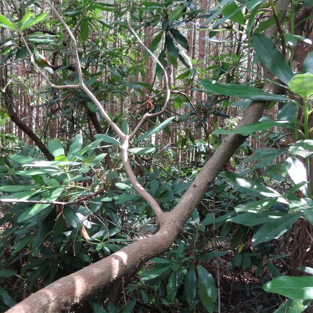
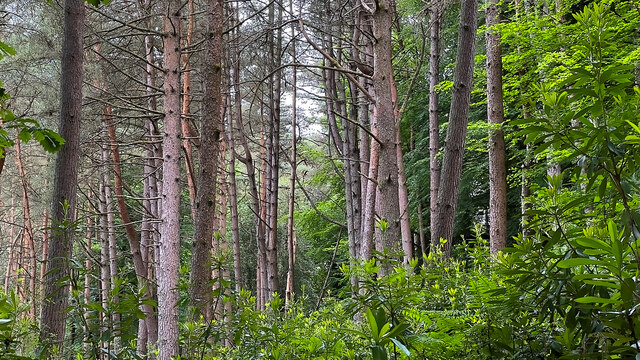
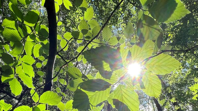
The Hanger, located in Sussex, England, is a picturesque woodland area known for its natural beauty and diverse flora and fauna. This enchanting forest is characterized by its dense canopy of tall, mature trees, including oak, beech, and ash, which provide a tranquil and shaded environment for visitors to explore.
Covering an area of approximately [insert size], The Hanger offers a variety of walking trails that meander through the dense undergrowth and winding paths. These trails provide an opportunity for nature enthusiasts, hikers, and photographers to immerse themselves in the peaceful surroundings and capture the beauty of the forest.
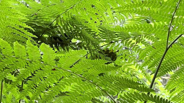
The diverse ecosystem of The Hanger supports a wide range of wildlife. Visitors may encounter various bird species, including woodpeckers, owls, and finches, as well as small mammals like foxes, rabbits, and squirrels. The forest floor is also home to a rich assortment of plants, wildflowers, and fungi, adding to the natural charm of the area.
Throughout the year, The Hanger offers a kaleidoscope of colors, from vibrant greens in the spring and summer to warm hues of red, orange, and gold in the autumn months. This seasonal transformation provides a stunning backdrop for visitors, making it an ideal location for photography and nature appreciation.
With its tranquil atmosphere, abundant wildlife, and breathtaking scenery, The Hanger in Sussex is a haven for nature lovers seeking solace and a connection with the natural world. Whether exploring the woodland trails or simply enjoying a peaceful picnic amidst the picturesque surroundings, The Hanger offers a truly memorable experience for all who visit.
If you have any feedback on the listing, please let us know in the comments section below.
The Hanger Images
Images are sourced within 2km of 51.002705/-0.77033025 or Grid Reference SU8623. Thanks to Geograph Open Source API. All images are credited.


The Hanger is located at Grid Ref: SU8623 (Lat: 51.002705, Lng: -0.77033025)
Administrative County: West Sussex
District: Chichester
Police Authority: Sussex
What 3 Words
///valuables.porch.meatballs. Near Midhurst, West Sussex
Nearby Locations
Related Wikis

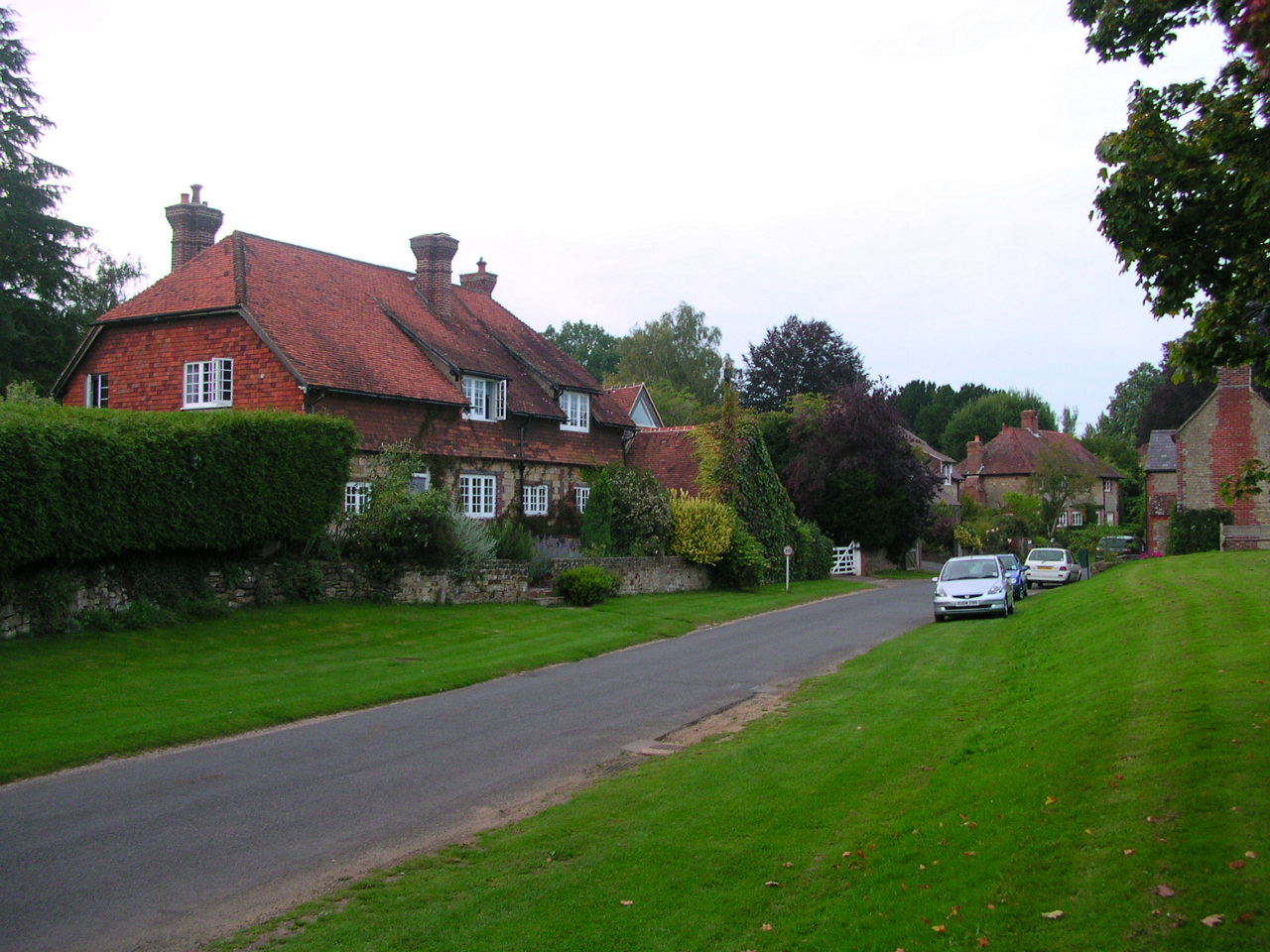
Stedham with Iping
Stedham with Iping is a civil parish in the Chichester district of West Sussex, England. It is approximately two miles (3 km) west of Midhurst and comprises...

Woolbeding
Woolbeding is a village and ecclesiastical parish in the District of Chichester in West Sussex, England, 1 mile (1.6 km) north-west of Midhurst and north...
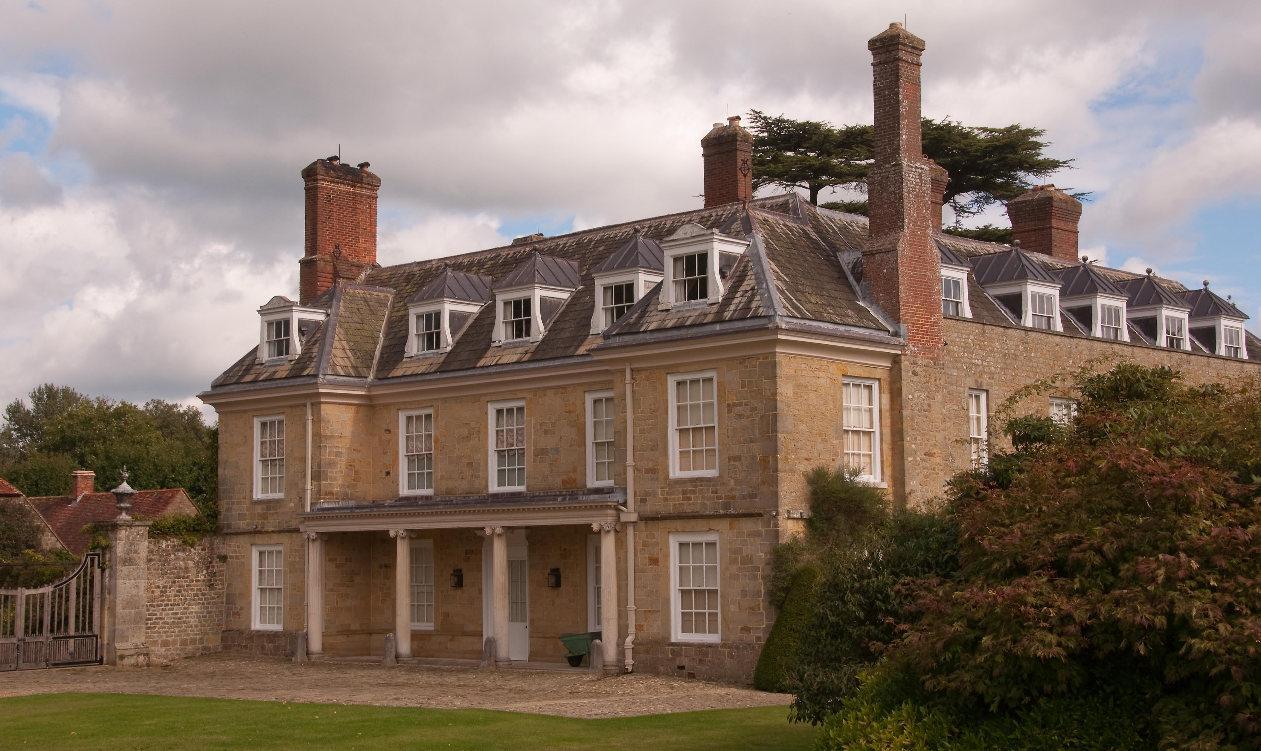
Woolbeding House
Woolbeding House is an 18th-century country house in Woolbeding, near Midhurst, West Sussex, England. It is a Grade I listed building. It was probably...
Stedham
Stedham is a village and former civil parish, now in the parish of Stedham with Iping, in the Chichester district of West Sussex, England, on the A272...
Iping
Iping is a village and former civil parish, now in the parish of Stedham with Iping, in the Chichester district of West Sussex, England. It lies just off...

Wispers
Wispers is a Grade II listed British country house in the parish of Stedham with Iping near Midhurst, West Sussex. The house was built in 1874–1876 by...

Iping and Stedham Commons
Iping and Stedham Commons is a nature reserve owned and managed by the Sussex Wildlife Trust. It is a 125.4-hectare (310-acre) biological Site of Special...

Chithurst Buddhist Monastery
Cittaviveka (Pali: 'discerning mind'), commonly known as Chithurst Buddhist Monastery, is an English Theravada Buddhist Monastery in the Thai Forest Tradition...
Nearby Amenities
Located within 500m of 51.002705,-0.77033025Have you been to The Hanger?
Leave your review of The Hanger below (or comments, questions and feedback).