Apsley Copse
Wood, Forest in Sussex Chichester
England
Apsley Copse
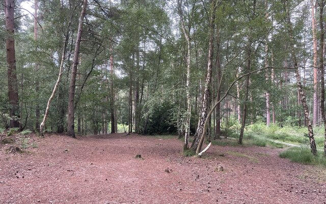
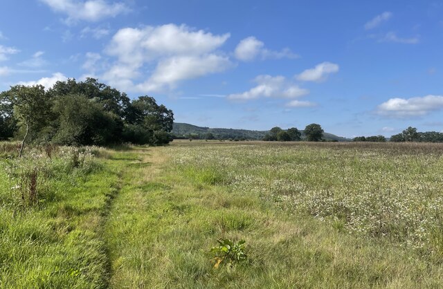
Apsley Copse is a picturesque wood located in Sussex, a county in the southern region of England. Nestled amidst the rolling hills and verdant landscapes, this enchanting forest covers an area of approximately 100 acres, providing a tranquil escape for nature enthusiasts and hikers alike.
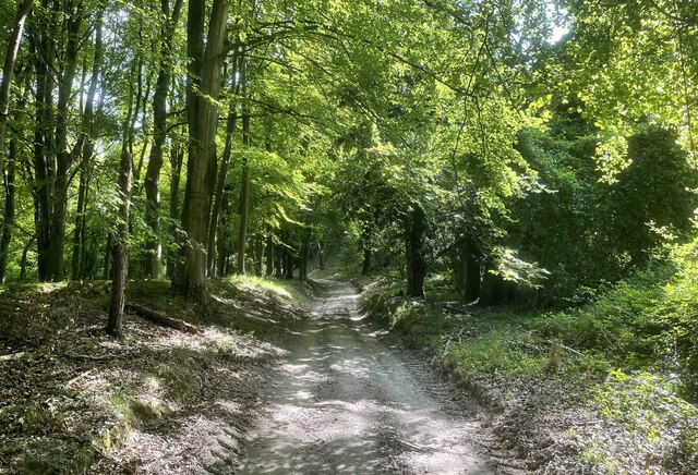
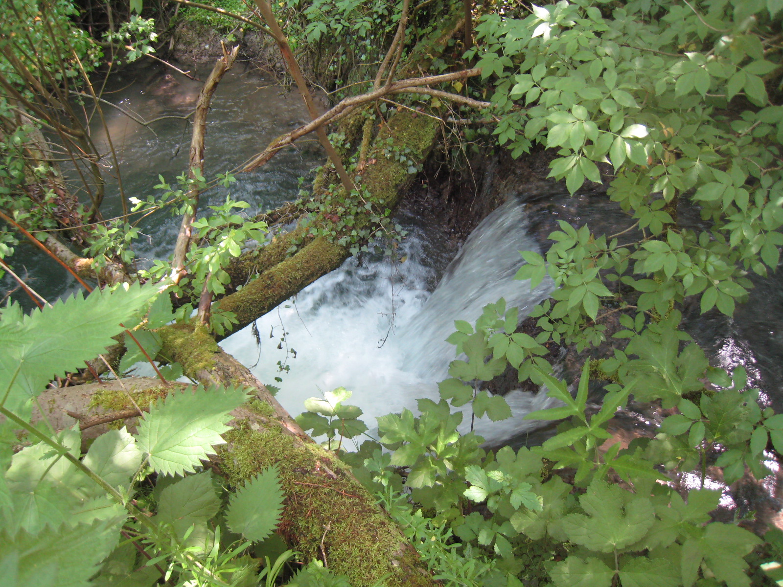
The copse is predominantly composed of deciduous trees, such as oak, beech, and birch, which create a vibrant tapestry of colors throughout the seasons. In spring, the forest floor is adorned with a carpet of bluebells, creating a breathtaking sight for visitors. The trees provide ample shade during the summer months, making it an ideal spot for picnics and leisurely walks.
Apsley Copse is home to a diverse range of wildlife, including deer, foxes, and a variety of bird species. Birdwatchers will delight in the opportunity to spot woodpeckers, nuthatches, and jays, among others. The copse also boasts a rich variety of flora, with numerous rare and protected species inhabiting the area.
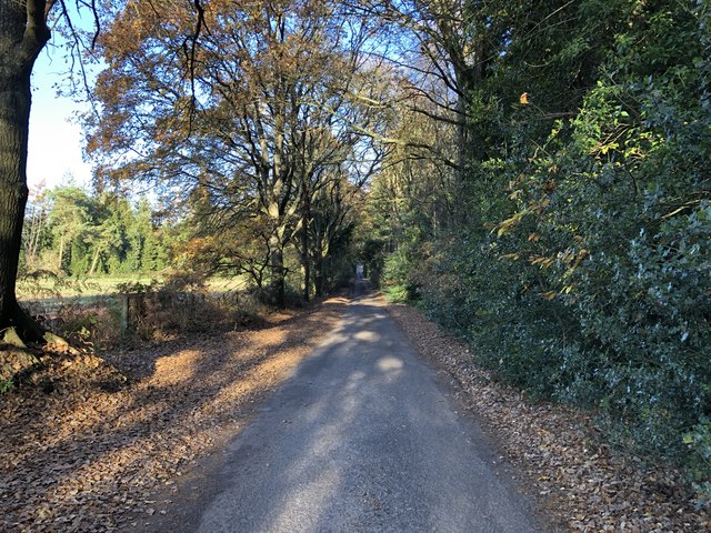
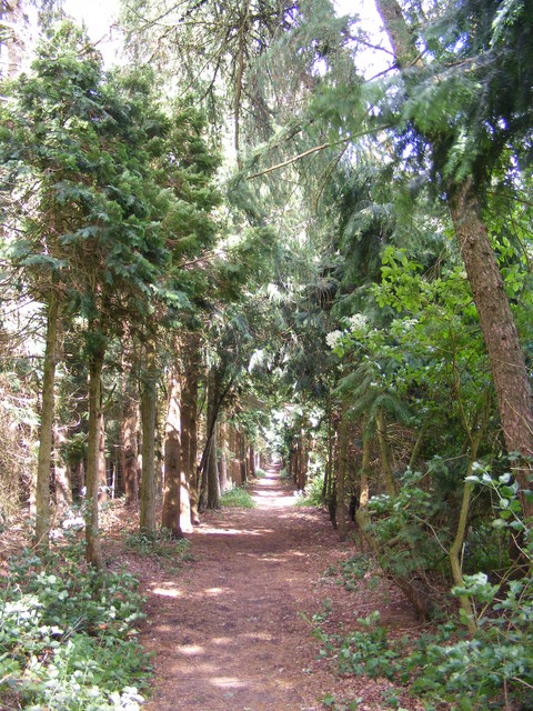
Several well-maintained trails wind their way through the copse, offering visitors the chance to explore its natural wonders at their own pace. The paths are easily accessible, making it suitable for visitors of all ages and abilities. Interpretive signs along the way provide information about the copse's history, ecology, and points of interest.
Apsley Copse is a cherished natural gem in Sussex, offering a serene and idyllic retreat from the hustle and bustle of everyday life. Whether one seeks an invigorating hike, a peaceful stroll, or a moment of tranquility in nature, this enchanting woodland is sure to leave a lasting impression.
If you have any feedback on the listing, please let us know in the comments section below.
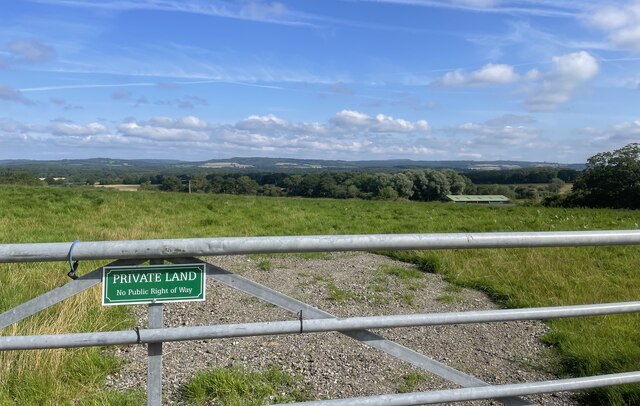
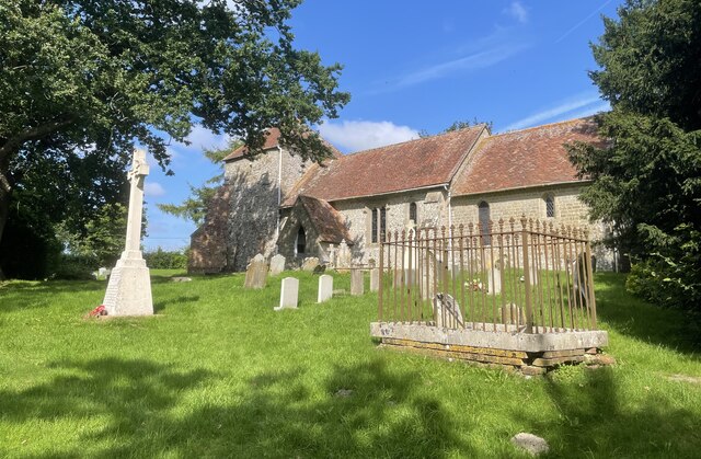
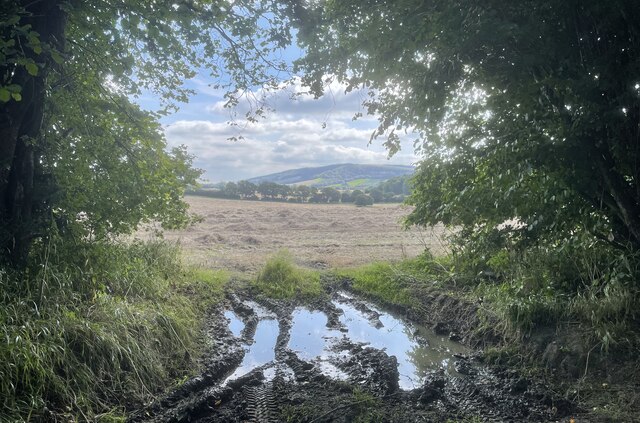
Apsley Copse Images
Images are sourced within 2km of 50.967442/-0.77177413 or Grid Reference SU8619. Thanks to Geograph Open Source API. All images are credited.


Apsley Copse is located at Grid Ref: SU8619 (Lat: 50.967442, Lng: -0.77177413)
Administrative County: West Sussex
District: Chichester
Police Authority: Sussex
What 3 Words
///charts.slopes.butternut. Near Midhurst, West Sussex
Nearby Locations
Related Wikis
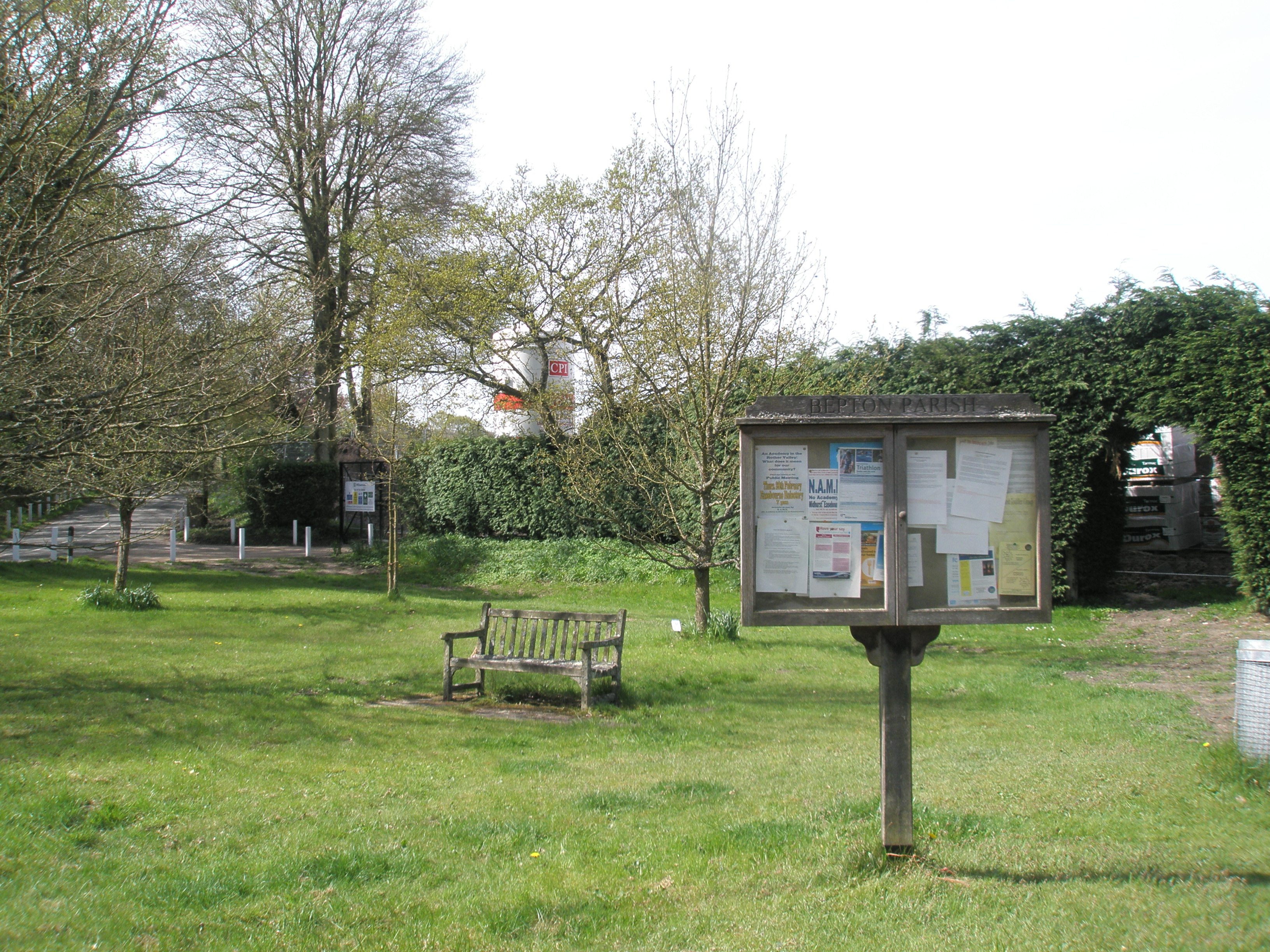
Bepton
Bepton is a village, Anglican parish and civil parish in the Chichester district of West Sussex, England. According to the 2001 census it had 104 households...
Cocking railway station
Cocking Railway Station served the village of Cocking in West Sussex, England. It was on the former London Brighton and South Coast Railway line between...

Cocking Causeway
Cocking Causeway is a hamlet in the civil parish of Cocking, in the Chichester district, in the county of West Sussex, England. == References == ��2�...
Cocking Foundry
Cocking Foundry (also known as Chorley Iron Foundry) is an abandoned iron foundry in the South Downs of England. It was situated to the north of the village...
Midhurst Brickworks
Midhurst Brickworks is a former brickworks situated to the south-west of Midhurst, West Sussex in England. The works were sited close to the (now closed...

Midhurst railway station (London and South Western Railway)
Midhurst (LSWR) railway station was opened on 1 September 1864 by the London and South Western Railway, the terminus of the line from Petersfield, serving...
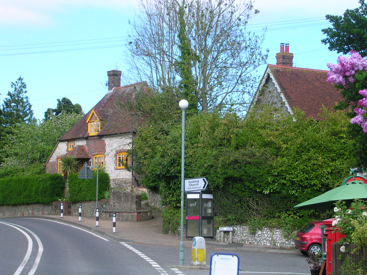
Cocking, West Sussex
Cocking is a village, parish and civil parish in the Chichester district of West Sussex, England. The village is about three miles (5 km) south of Midhurst...

Midhurst railway station
Midhurst railway station used to serve the market town of Midhurst in the English county of West Sussex. The first railway to reach the town was a branch...
Nearby Amenities
Located within 500m of 50.967442,-0.77177413Have you been to Apsley Copse?
Leave your review of Apsley Copse below (or comments, questions and feedback).