Eagle Hall Wood
Wood, Forest in Lincolnshire North Kesteven
England
Eagle Hall Wood
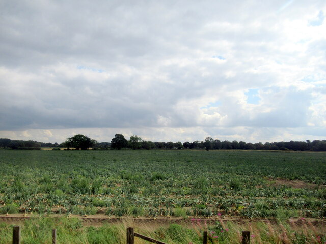
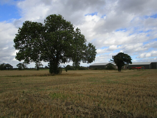
Eagle Hall Wood is a picturesque woodland located in the county of Lincolnshire, England. Covering an area of approximately 20 acres, it is nestled within the village of Eagle, offering a serene and natural environment for visitors to explore.
The wood boasts a diverse range of tree species, including oak, birch, and beech, creating a lush and vibrant canopy that provides shelter and habitat for various wildlife. The gently undulating terrain is carpeted with a rich undergrowth of ferns, wildflowers, and mosses, adding to the woodland's charm and beauty.
Visitors to Eagle Hall Wood can enjoy a network of well-maintained footpaths and trails that meander through the trees, providing an opportunity for leisurely walks and nature observation. The peaceful atmosphere and abundance of wildlife make it an ideal spot for birdwatching, with species such as owls, woodpeckers, and thrushes frequently spotted.
The wood also holds historical significance, with remnants of an Iron Age settlement found within its boundaries. Archaeological discoveries include pottery shards, tools, and traces of ancient dwellings, providing valuable insights into the area's past.
Eagle Hall Wood is a popular destination for both locals and tourists seeking solace in nature. Its close proximity to the village of Eagle allows for easy access, and there is ample parking available nearby. Whether one is seeking a tranquil stroll, a quiet picnic spot, or an opportunity to connect with history, Eagle Hall Wood offers a delightful escape into the heart of Lincolnshire's natural beauty.
If you have any feedback on the listing, please let us know in the comments section below.
Eagle Hall Wood Images
Images are sourced within 2km of 53.178098/-0.71051674 or Grid Reference SK8665. Thanks to Geograph Open Source API. All images are credited.


Eagle Hall Wood is located at Grid Ref: SK8665 (Lat: 53.178098, Lng: -0.71051674)
Administrative County: Lincolnshire
District: North Kesteven
Police Authority: Lincolnshire
What 3 Words
///patio.paces.vibrating. Near North Collingham, Nottinghamshire
Nearby Locations
Related Wikis

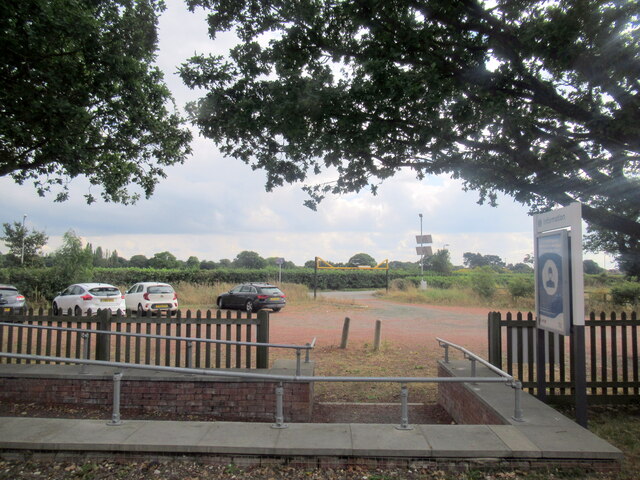
Swinderby railway station
Swinderby railway station serves the villages of Swinderby, North Scarle, Eagle and Morton Hall in Lincolnshire, England. The station is 8.75 miles (14...

South Scarle
South Scarle is a village and civil parish in the Newark and Sherwood district of Nottinghamshire, England. It has a community centre, a post office and...
Morton Hall
Morton Hall is a small village in the civil parish of Swinderby , in the North Kesteven district of Lincolnshire, England. It is situated 8 miles (13 km...

Eagle Barnsdale
Eagle Barnsdale is a village in the North Kesteven district of Lincolnshire, England. The population can be found included in the civil parish of Eagle...
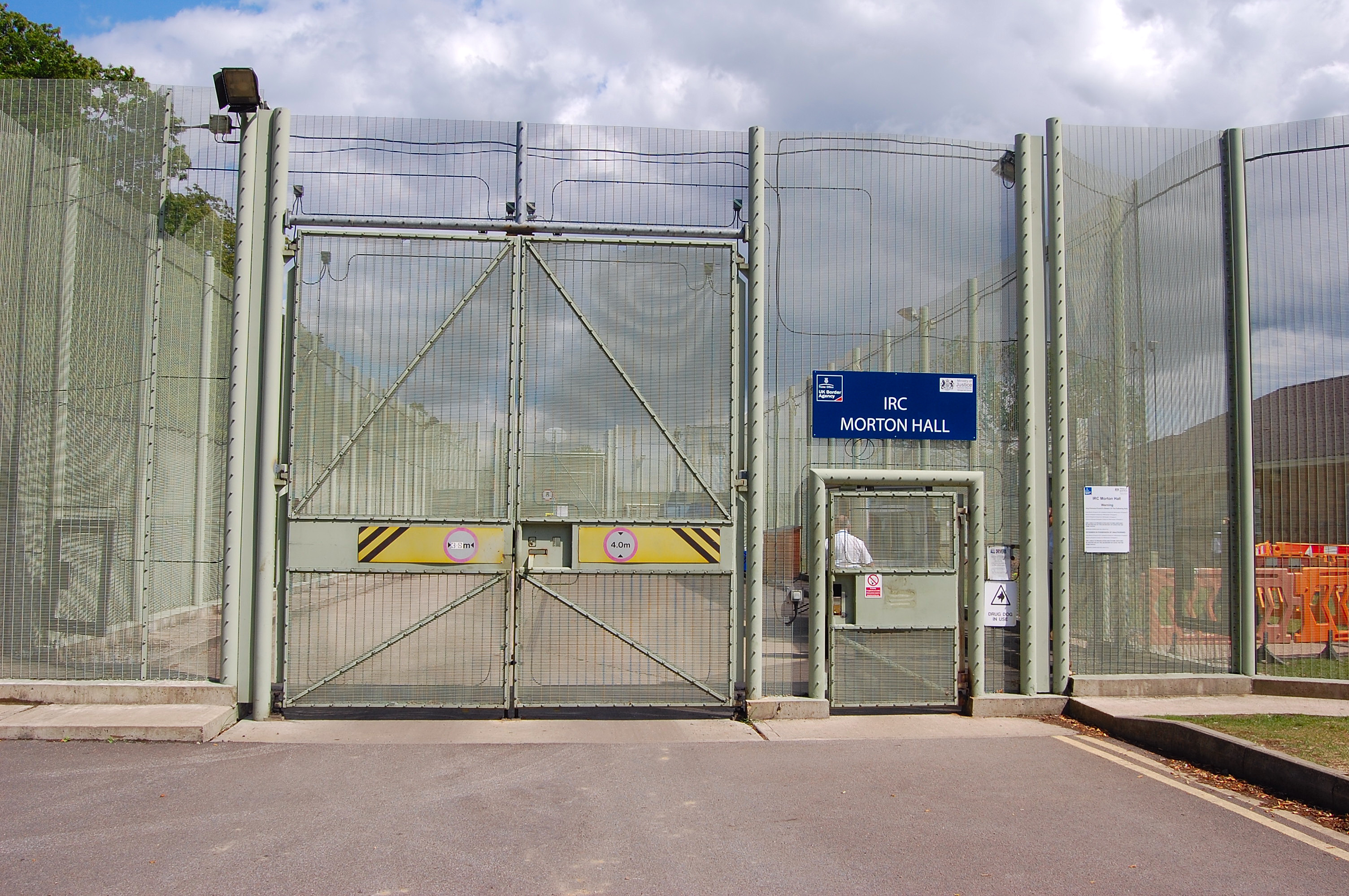
HM Prison Morton Hall
HM Prison Morton Hall is a Category C men's prison, located in the village of Morton Hall (near Lincoln) in Lincolnshire, England. The centre is operated...

St Helena's Church, South Scarle
St Helena's Church is a Grade I listed parish church in the Church of England in South Scarle, Nottinghamshire. == History == The church dates from the...

North Scarle
North Scarle is a village and civil parish in the North Kesteven district of Lincolnshire, England. The population of the civil parish at the 2011 census...
Eagle, Lincolnshire
Eagle is a village in the North Kesteven district of Lincolnshire, England. It is situated 7 miles (11 km) south-west from Lincoln and 2 miles (3.2 km...
Nearby Amenities
Located within 500m of 53.178098,-0.71051674Have you been to Eagle Hall Wood?
Leave your review of Eagle Hall Wood below (or comments, questions and feedback).