Bardales Plantation
Wood, Forest in Yorkshire Ryedale
England
Bardales Plantation

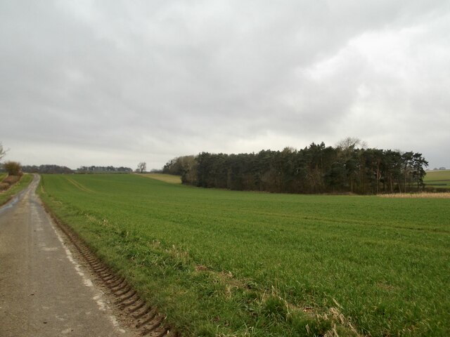
Bardales Plantation, located in Yorkshire, is a picturesque woodland area known for its natural beauty and diverse ecosystem. Covering a vast expanse of forested land, the plantation is a haven for nature enthusiasts and offers a serene escape from the hustle and bustle of city life.
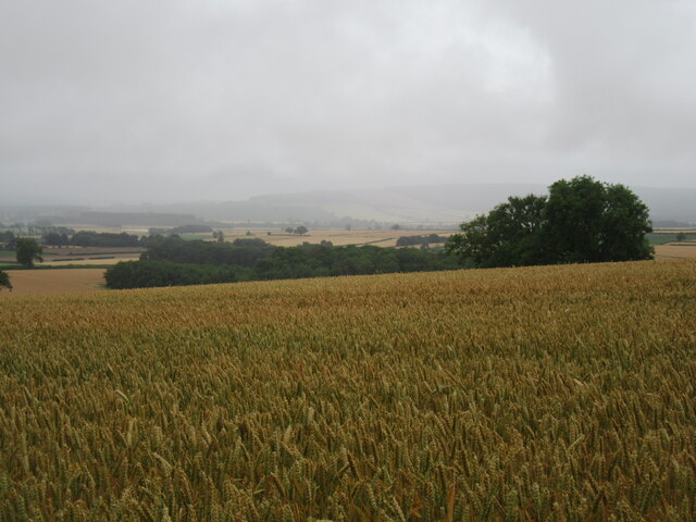
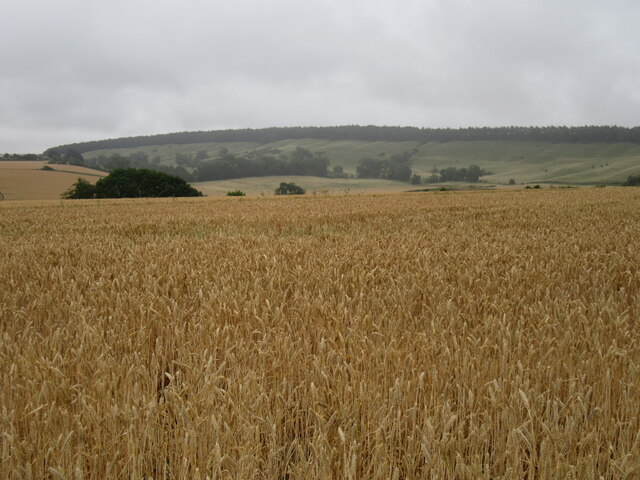
The woodland landscape of Bardales Plantation is characterized by dense clusters of coniferous and deciduous trees, creating a rich tapestry of colors throughout the seasons. Towering oak, beech, and pine trees dominate the area, providing a habitat for a wide range of flora and fauna.
The plantation is home to various wildlife species, including deer, rabbits, foxes, and a plethora of bird species. The woodland acts as a sanctuary for these creatures, offering them protection and a safe haven to thrive. Birdwatchers flock to Bardales Plantation to catch a glimpse of rare and migratory species, as the woodland provides an ideal habitat for nesting and feeding.
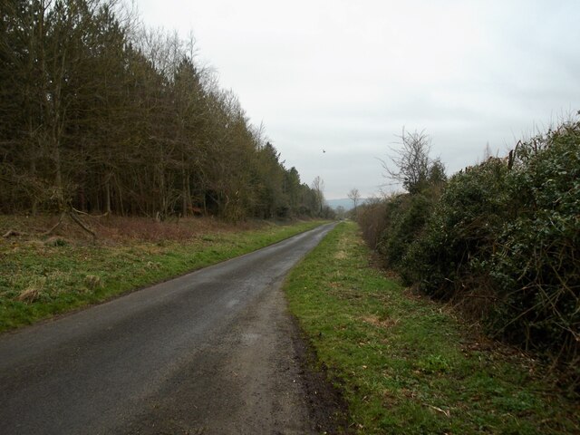
Visitors to Bardales Plantation can explore its numerous walking trails and enjoy the tranquility of the forest. The plantation also offers opportunities for activities such as hiking, cycling, and picnicking, making it a popular destination for outdoor enthusiasts. The well-maintained paths meander through the woodland, allowing visitors to immerse themselves in the natural surroundings and take in the breathtaking views.
Bardales Plantation, with its stunning woodland scenery and diverse ecosystem, is a treasure trove of natural beauty and a testament to Yorkshire's rich natural heritage. Whether seeking solace in nature or indulging in outdoor activities, this enchanting woodland offers something for everyone.
If you have any feedback on the listing, please let us know in the comments section below.
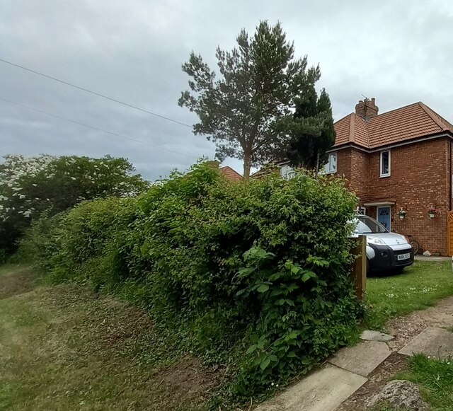
Bardales Plantation Images
Images are sourced within 2km of 54.139607/-0.68141614 or Grid Reference SE8672. Thanks to Geograph Open Source API. All images are credited.


Bardales Plantation is located at Grid Ref: SE8672 (Lat: 54.139607, Lng: -0.68141614)
Division: East Riding
Administrative County: North Yorkshire
District: Ryedale
Police Authority: North Yorkshire
What 3 Words
///taskbar.airports.ahead. Near Rillington, North Yorkshire
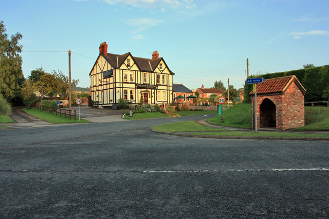
Nearby Locations
Related Wikis

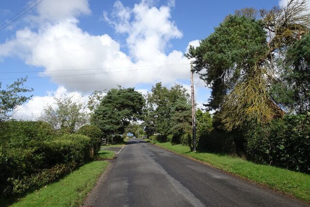
Thorpe Bassett
Thorpe Bassett is a village and civil parish in North Yorkshire, England. It is located between York and Scarborough in the North East of England. Surrounded...
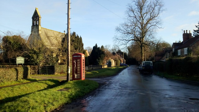
All Saints Church, Thorpe Bassett
All Saints Church is in the village of Thorpe Bassett, North Yorkshire, England. It is an active Anglican parish church in the deanery of Southern Ryedale...

Norton Rural District (Yorkshire)
Norton was a rural district in the East Riding of Yorkshire from 1894 to 1974. It was based on the small town of Norton-on-Derwent, and was formed under...

Rillington
Rillington is a village and civil parish in North Yorkshire, England. Rillington was mentioned in the Domesday Survey in 1086 and rural life was relatively...

Wintringham, North Yorkshire
Wintringham is a village and civil parish in North Yorkshire, England. The village is near the A64 road and 6 miles (9.7 km) east of Malton. Two long...

St Peter's Church, Wintringham
St Peter's Church is a redundant Anglican church in the village of Wintringham, North Yorkshire, England (grid reference SE 887 731). It is recorded in...
Scagglethorpe
Scagglethorpe is a village and civil parish in the Ryedale district of North Yorkshire, England. It is situated just south from the A64 road, 3 miles...
Scampston
Scampston is a village and civil parish in North Yorkshire, England. It lies close to the A64 road, approximately 3 miles (4.8 km) east of Malton. The...
Nearby Amenities
Located within 500m of 54.139607,-0.68141614Have you been to Bardales Plantation?
Leave your review of Bardales Plantation below (or comments, questions and feedback).