Ash Holt
Wood, Forest in Lincolnshire West Lindsey
England
Ash Holt
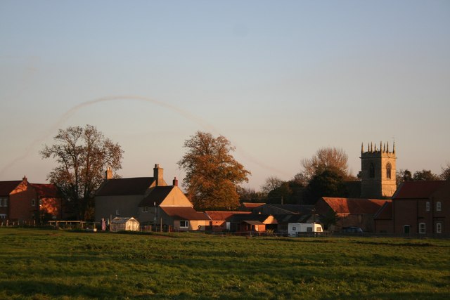
Ash Holt is a small village located in the county of Lincolnshire, England. Situated in the district of North Kesteven, it is nestled within the scenic Lincolnshire Wolds, an Area of Outstanding Natural Beauty. The village is known for its abundant woodlands and forests, which give it a distinctive charm and attract nature enthusiasts from far and wide.
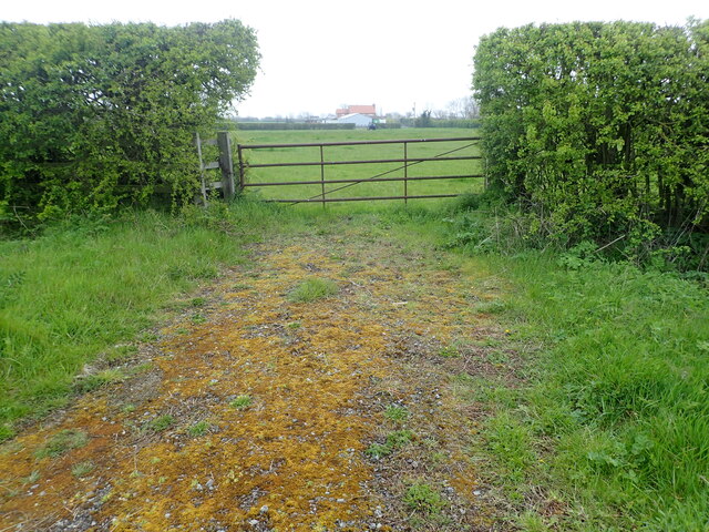
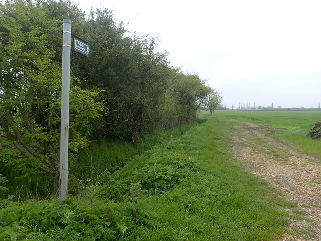
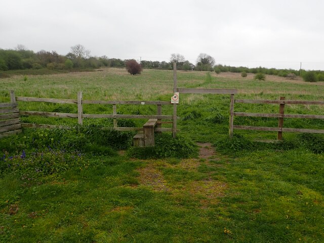
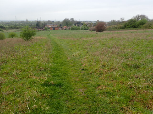
The woodlands in Ash Holt are predominantly made up of native trees such as oak, beech, and ash, hence the name of the village. These forests provide a habitat for a wide variety of wildlife, including deer, foxes, and numerous species of birds. Walking trails meander through the woods, offering visitors the opportunity to explore and appreciate the natural beauty of the area.
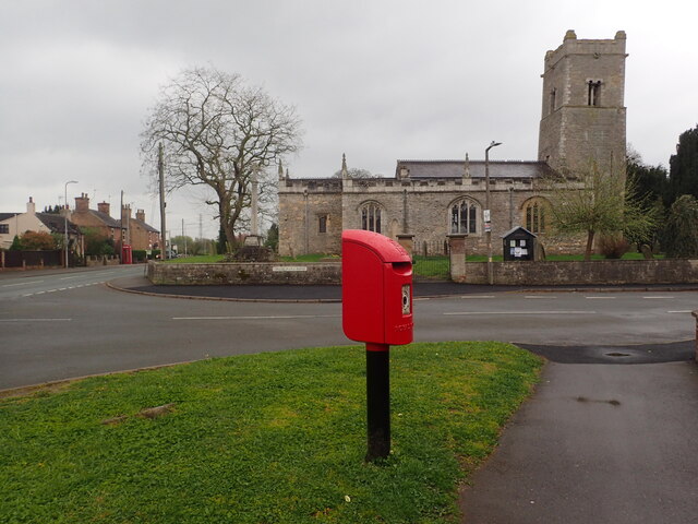
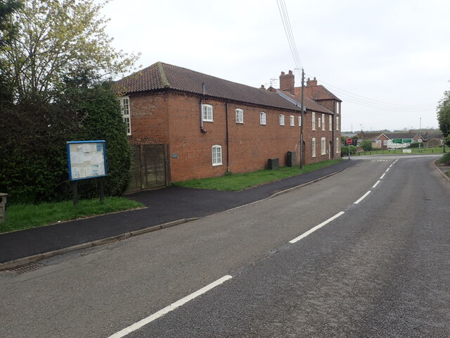
As a rural village, Ash Holt has a close-knit community that values its peaceful and idyllic setting. The village is characterized by quaint cottages and traditional architecture, which adds to its charm. The local economy is primarily based on agriculture, with farming being a significant occupation for the residents.
While the village is small, it benefits from its proximity to larger towns such as Market Rasen and Lincoln. This allows residents to access a wider range of amenities and services, including schools, shops, and healthcare facilities.
Ash Holt offers a tranquil and picturesque setting for those seeking a peaceful retreat or a taste of rural life. With its stunning woodlands, abundant wildlife, and friendly community, it is a village that captures the essence of rural Lincolnshire.
If you have any feedback on the listing, please let us know in the comments section below.
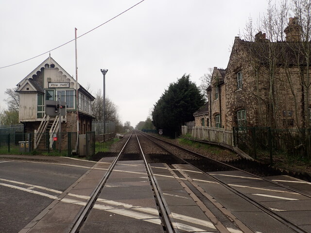
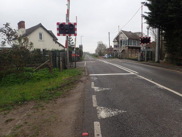
Ash Holt Images
Images are sourced within 2km of 53.33094/-0.7124598 or Grid Reference SK8582. Thanks to Geograph Open Source API. All images are credited.
Ash Holt is located at Grid Ref: SK8582 (Lat: 53.33094, Lng: -0.7124598)
Administrative County: Lincolnshire
District: West Lindsey
Police Authority: Lincolnshire
What 3 Words
///belonged.choppers.donor. Near Willingham, Lincolnshire
Nearby Locations
Related Wikis
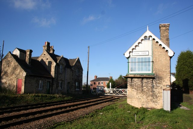
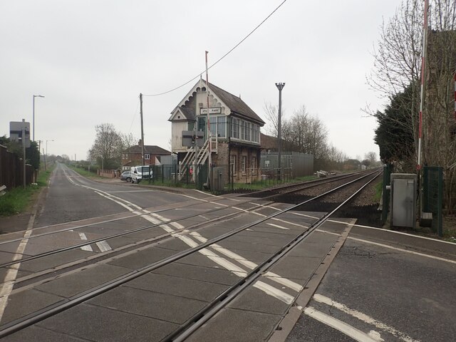
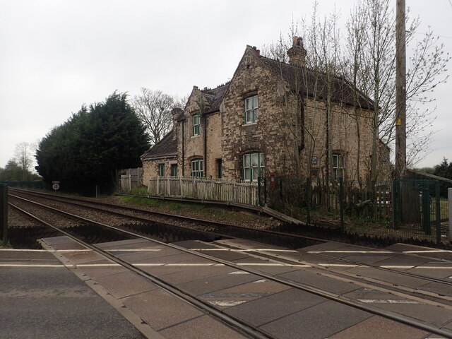
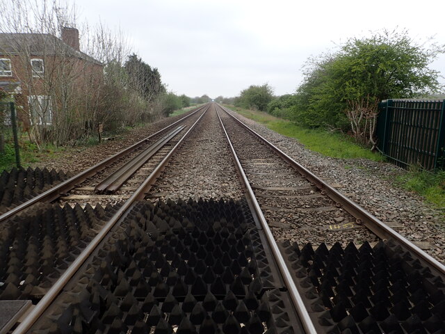
Stow Park railway station
Stow Park railway station was a railway station that served the villages of Marton and Stow in Lincolnshire, England on the line between Lincoln and Doncaster...

Marton, Lincolnshire
Marton is a village and civil parish in the West Lindsey district of Lincolnshire, England. It is situated at the junction between the A156 and the A1500...
Gate Burton
Gate Burton (sometimes called Burton Gate), is a village and civil parish in the West Lindsey district of Lincolnshire, England. It is situated 4 miles...

A156 road
The A156 is an 11 miles (18 km) long road that runs from the A57 near Saxilby and heads north to Gainsborough. The road runs entirely within Lincolnshire...

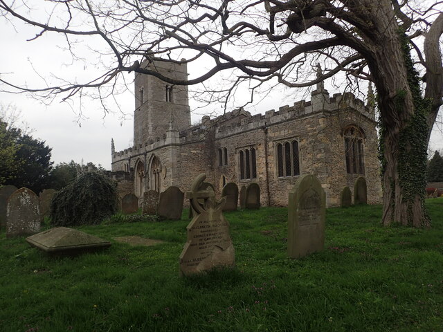
Stow Minster
The Minster Church of St Mary, Stow in Lindsey, is a major Anglo-Saxon church in Lincolnshire and is one of the largest and oldest parish church buildings...

Stow, Lincolnshire
Stow (or, archaically, Stow-in-Lindsey) is a village and civil parish within the West Lindsey district of Lincolnshire, England. It is 11 miles (18 km...
Willingham by Stow
Willingham by Stow is a rural village in the West Lindsey district of Lincolnshire, England. The population of the civil parish (known as Willingham) at...

Heynings Priory
Heynings Priory was a priory in Knaith, Lincolnshire, England. The priory of Heynings was founded by Rayner de Evermue, Lord of Knaith, for Cistercian...
Nearby Amenities
Located within 500m of 53.33094,-0.7124598Have you been to Ash Holt?
Leave your review of Ash Holt below (or comments, questions and feedback).