Barn Field Plantation

Wood, Forest in Sussex Chichester

England

Barn Field Plantation

New Lipchis Way I've just realised where the "New Lipchis Way" gets its name. It's a 39-mile walk from Liphook (Lip) to Chichester Harbour (chis). There's an excellent view to the east from the bank on the left of the path.
New Lipchis Way Credit: Ian Cunliffe

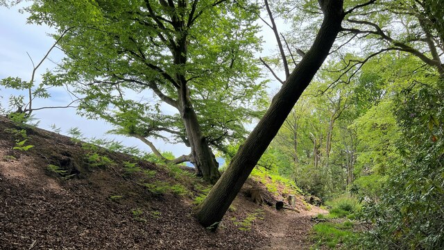
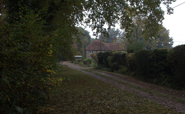
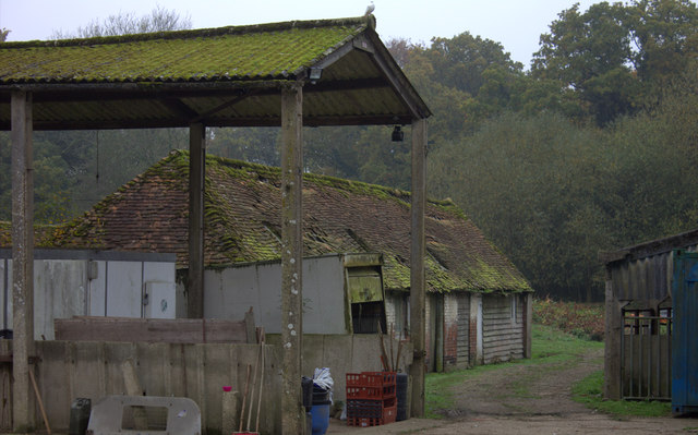
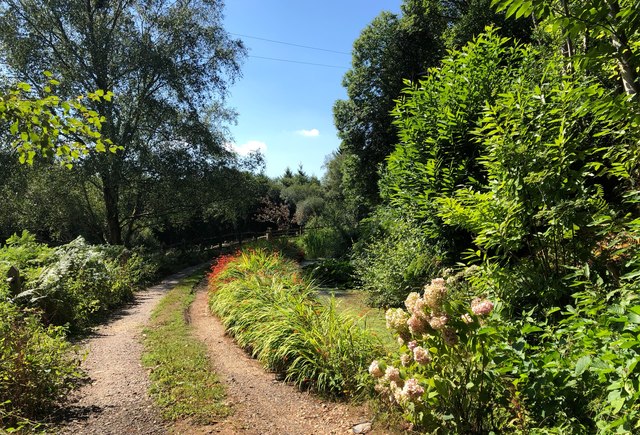
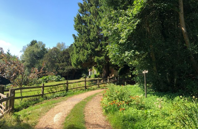
Barn Field Plantation is a picturesque woodland located in Sussex, England. Spread across a vast expanse, the plantation is known for its dense forest cover and serene surroundings. It is situated in close proximity to the village of Wood, making it easily accessible for both locals and tourists.

The plantation boasts a diverse range of plant species, including towering oak trees, beech trees, and various species of conifers. The lush green landscape is a haven for wildlife, providing a natural habitat for numerous species of birds, mammals, and insects. Visitors often have the opportunity to spot deer, foxes, squirrels, and a plethora of bird species during their walks through the woodland.

Barn Field Plantation offers several well-maintained walking trails, allowing visitors to explore its natural beauty at their own pace. These trails cater to all levels of fitness and provide stunning views of the surrounding countryside. The plantation also features picnic areas, making it an ideal spot for a family day out or a peaceful retreat in nature.

The woodland is managed by the Sussex Wildlife Trust, ensuring its conservation and preservation for future generations. The trust organizes educational events and activities, providing an opportunity for visitors to learn about the plantation's biodiversity and the importance of nature conservation.

Overall, Barn Field Plantation is a hidden gem in Sussex, offering a tranquil escape from the bustling city life. Its natural beauty and rich biodiversity make it a must-visit destination for nature enthusiasts and those seeking solace in the great outdoors.

If you have any feedback on the listing, please let us know in the comments section below.

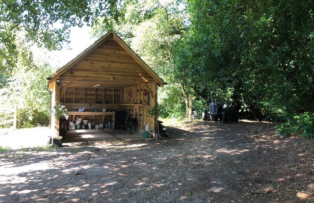
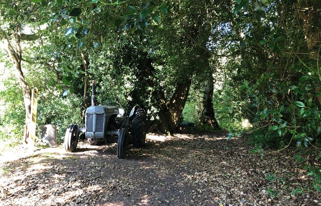
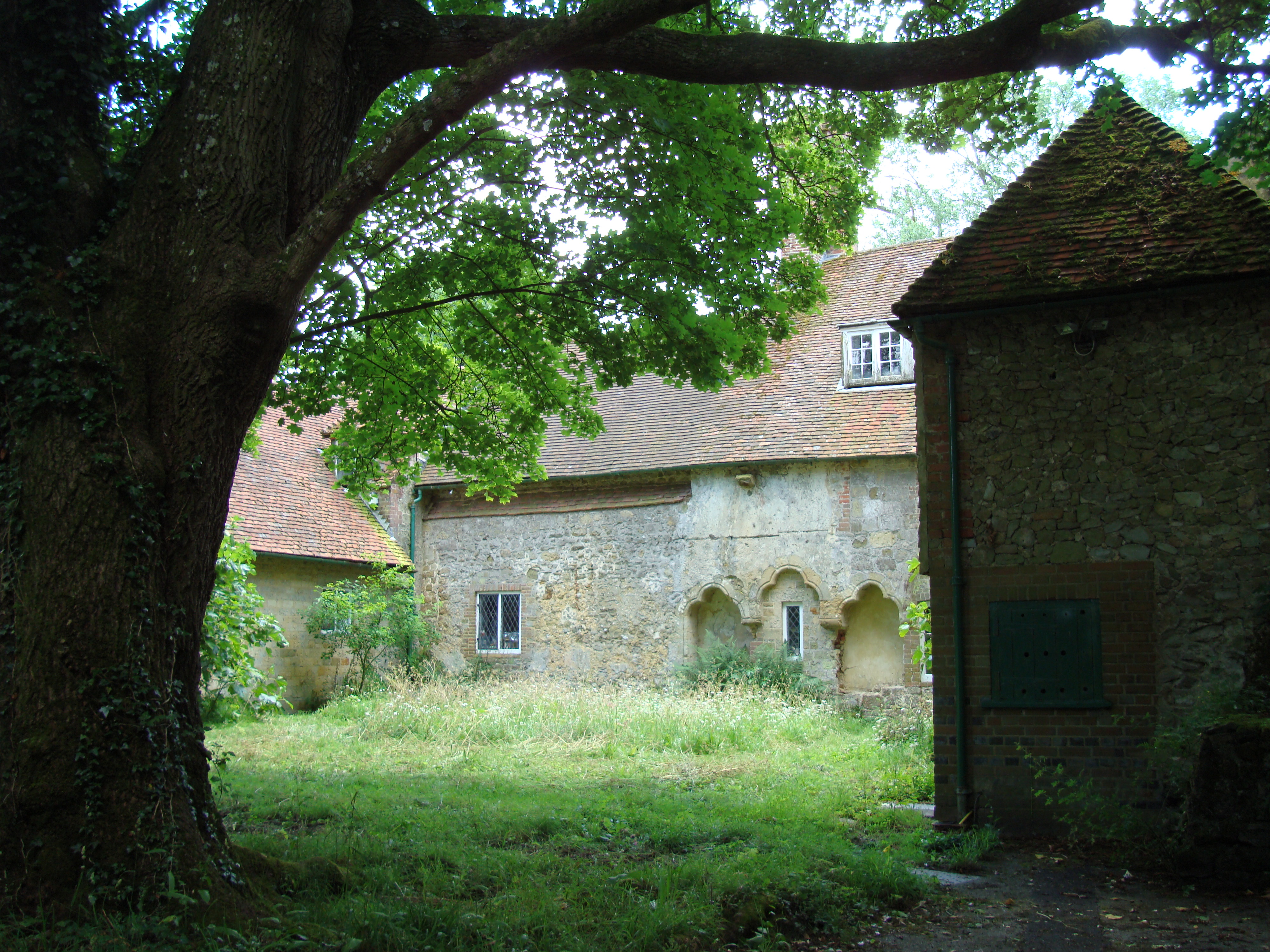
Barn Field Plantation Images

Images are sourced within 2km of 51.057004/-0.77815328 or Grid Reference SU8529. Thanks to Geograph Open Source API. All images are credited.

New Lipchis Way I've just realised where the "New Lipchis Way" gets its name. It's a 39-mile walk from Liphook (Lip) to Chichester Harbour (chis). There's an excellent view to the east from the bank on the left of the path.
New Lipchis Way
I've just realised where the "New Lipchis Way" gets its name. It's a 39-mile walk from Liphook (Lip) to Chichester Harbour (chis). There's an excellent view to the east from the bank on the left of the path.
Pylon near the bridleway on the south side of Iron Hill
Trees and sunlight - NE of Hillands Plantations
Leaves and sunlight - Stanley Common
Conifers near Iron Hill
Bordering on the ridiculous (1) Looking from Sussex into Hampshire by Churcher's College Junior School
Bordering on the ridiculous (1)
Looking from Sussex into Hampshire by Churcher's College Junior School
Interesting outbuilding Better than my 8 x 6 garden shed, this lovely looking summer house/garage caught my attention near Milland.
Interesting outbuilding
Better than my 8 x 6 garden shed, this lovely looking summer house/garage caught my attention near Milland.
Titty Hill Looking south from Home Farm, Milland.
Titty Hill
Looking south from Home Farm, Milland.
Elmer's Marsh New Lipchis Way footpath joins the road here at Elmer's Marsh
Elmer's Marsh
New Lipchis Way footpath joins the road here at Elmer's Marsh
Farm buildings near Shulbrede priory Somewhat dilapidated
Farm buildings near Shulbrede priory
Somewhat dilapidated
The Church of St Luke serving Linch with Iping Marsh Viewed from the north-east.
The Church of St Luke serving Linch with Iping Marsh
Viewed from the north-east.
Ordnance Survey Cut Mark This mark can be found on the wall of St Luke's Church at Woodmansgreen.
For more detail see : <span class="nowrap"><a title="http://www.bench-marks.org.uk/bm83714" rel="nofollow ugc noopener" href="http://www.bench-marks.org.uk/bm83714">Link</a><img style="margin-left:2px;" alt="External link" title="External link - shift click to open in new window" src="https://s1.geograph.org.uk/img/external.png" width="10" height="10"/></span>
Ordnance Survey Cut Mark
This mark can be found on the wall of St Luke's Church at Woodmansgreen. For more detail see : LinkExternal link
Pleasant Corner An attractive part of the driveway near to Newlands Cottage. Everything looking very green despite months of little rainfall.
Pleasant Corner
An attractive part of the driveway near to Newlands Cottage. Everything looking very green despite months of little rainfall.
Path Junction near Newlands Cottage Approaching Newlands Cottage along the driveway, which is a public footpath, another path leads off to the left.
Path Junction near Newlands Cottage
Approaching Newlands Cottage along the driveway, which is a public footpath, another path leads off to the left.
Jag on the track A small track leads away from Newlands Cottage and an old Jaguar Car is parked up.
Jag on the track
A small track leads away from Newlands Cottage and an old Jaguar Car is parked up.
Newlands Cottage Newlands Cottage viewed from the public footpath.
Newlands Cottage
Newlands Cottage viewed from the public footpath.
Garage and Tractor Viewed from the public footpath which passes to the right of the tractor.
Garage and Tractor
Viewed from the public footpath which passes to the right of the tractor.
Tractor beside the Footpath The public footpath at Newlands Cottage passes an old tractor before heading into The Leithe.
Tractor beside the Footpath
The public footpath at Newlands Cottage passes an old tractor before heading into The Leithe.
Show me another place!

Barn Field Plantation is located at Grid Ref: SU8529 (Lat: 51.057004, Lng: -0.77815328)

Administrative County: West Sussex

District: Chichester

Police Authority: Sussex

What 3 Words

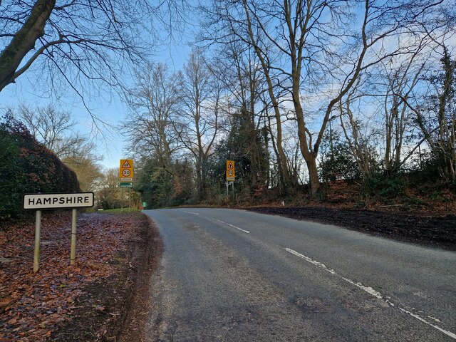
///cliff.corner.disgraced. Near Liphook, Hampshire

Related Wikis

Hollycombe Steam Collection

The Hollycombe Steam Collection is a collection of steam-powered vehicles, amusement rides, and attractions in South East England. It is based in West...

Lynchmere Commons

Lynchmere Commons is a 122-hectare (300-acre) Local Nature Reserve in Lynchmere in West Sussex. It is owned and managed by the Lynchmere Society.This...

Linch

Linch is an Anglican parish, and a loose collection of hamlets that make up the civil parish of the same name in the Chichester District of West Sussex...

Shulbrede Priory

Shulbrede Priory is a former medieval monastic house in West Sussex, England; it became the home of the Ponsonby family, including the first Lord Ponsonby...

Linchmere

Linchmere, also spelled Lynchmere, is a village and a civil parish, the northernmost parish in the Chichester district of West Sussex, England. It is...
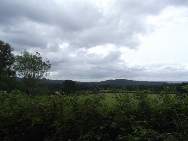
Western Weald

The western Weald is an area of undulating countryside in Hampshire and West Sussex containing a mixture of woodland and heathland areas. It lies to the...

Liphook railway station

Liphook railway station serves the large village of Liphook, in Hampshire, England. It is on the Portsmouth Direct Line, 46 miles 67 chains (75.4 km) down...

Liphook

Liphook is a large village in the East Hampshire district of Hampshire, England. It is 4.1 miles (6.6 km) west of Haslemere, bypassed by the A3 road, and...

Nearby Amenities

Located within 500m of 51.057004,-0.77815328
Iron Down
Natural: peak
Lat/Long: 51.0566/-0.776606
Holycombe Junction
Public Transport: station
Railway: station
Usage: tourism
Lat/Long: 51.057239/-0.7820793
Cafe
Hollycombe Working Steam Museum Cafe
Addr City: Liphook
Addr Hamlet: Linch
Addr Housename: Hollycombe Working Steam Museum
Addr Postcode: GU30 7LP
Addr Street: Hollycombe Lane
Fhrs Authority: Chichester
Fhrs Id: 889634
Fhrs Local Authority Id: 16/00132/FOOD
Operator: Hollycombe Retailing
Lat/Long: 51.0573692/-0.7818945
Toilets
Lat/Long: 51.0574361/-0.7820007
Railway: switch
Railway Switch Electric: yes
Lat/Long: 51.0558544/-0.7798561
Tourism: viewpoint
Lat/Long: 51.0535384/-0.7760407
Note: End of line, goes underground to Elmers Marsh substation
Power: tower
Ref: PKF62
Source: Bing
Lat/Long: 51.0588957/-0.7773576
Tourism: viewpoint
Lat/Long: 51.0536172/-0.7772658
Crossing: uncontrolled
Railway: crossing
Lat/Long: 51.0573489/-0.7824266
Crossing: uncontrolled
Railway: crossing
Lat/Long: 51.0559913/-0.7798831
Railway: crossing
Lat/Long: 51.0573935/-0.7825676
The data included in this document is from www.openstreetmap.org. The data is made available under ODbL.

Have you been to Barn Field Plantation?

Leave your review of Barn Field Plantation below (or comments, questions and feedback).