Cogdale Holt

Wood, Forest in Lincolnshire South Kesteven

England

Cogdale Holt

The Salt Way at Three Queens Three Queens is the name of the wood to the right of the road. It sits at the corner of the crossing of two ancient routes: the Salt Way (this road), and Sewstern Lane (crossing left to right at the start of the bend).
"The name Three Queens is said to refer to the burial barrows of three queens of the Bronze Age." <span class="nowrap"><a title="http://local-history.org.uk/waltham/pages/local-history/croxton-park-abbey/" rel="nofollow ugc noopener" href="http://local-history.org.uk/waltham/pages/local-history/croxton-park-abbey/">Link</a><img style="margin-left:2px;" alt="External link" title="External link - shift click to open in new window" src="https://s1.geograph.org.uk/img/external.png" width="10" height="10"/></span>. Several barrows have certainly been recorded here (Leicestershire historic environment record MLE3559 <span class="nowrap"><a title="https://www.heritagegateway.org.uk/Gateway/Results_Single.aspx?uid=MLE3559&resourceID=1021" rel="nofollow ugc noopener" href="https://www.heritagegateway.org.uk/Gateway/Results_Single.aspx?uid=MLE3559&resourceID=1021">Link</a><img style="margin-left:2px;" alt="External link" title="External link - shift click to open in new window" src="https://s1.geograph.org.uk/img/external.png" width="10" height="10"/></span> ), one containing the skeleton of a woman.
<span class="nowrap"><a title="https://www.bottesfordhistory.org.uk/content/about/read-it-hear-not-forgetting/not-forgetting-chapter-9-getting-about-in-the-past" rel="nofollow ugc noopener" href="https://www.bottesfordhistory.org.uk/content/about/read-it-hear-not-forgetting/not-forgetting-chapter-9-getting-about-in-the-past">Link</a><img style="margin-left:2px;" alt="External link" title="External link - shift click to open in new window" src="https://s1.geograph.org.uk/img/external.png" width="10" height="10"/></span> states "Here stood an 18th Century hostelry “of ill repute”, The Three Queens, frequented by cattle drovers and perhaps footpads. The inn eventually closed when the ancient trackways were replaced by newer roads, and there is nothing at the site now except a muddy track crossing a minor road."
The Salt Way at Three Queens Credit: Tim Heaton

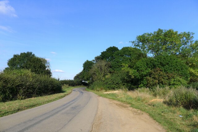
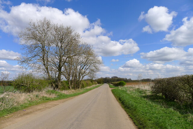
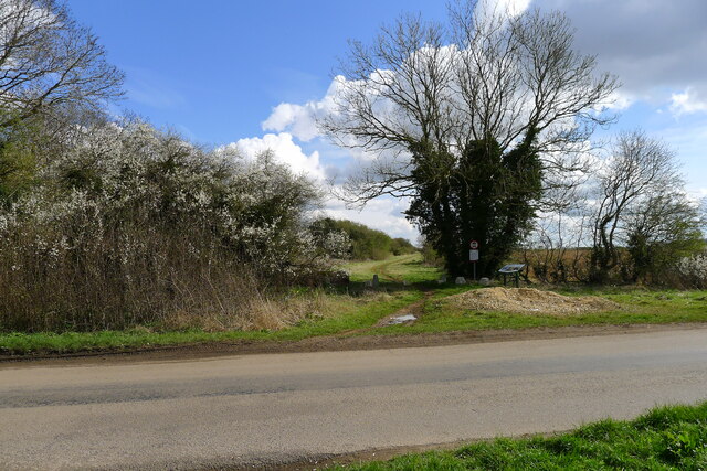
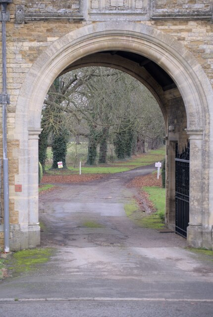
Cogdale Holt is a picturesque woodland located in the county of Lincolnshire, England. Situated near the village of Cogdale, this woodland area covers a vast expanse of approximately 500 acres. It is a haven for nature lovers and outdoor enthusiasts, offering a serene and tranquil environment.

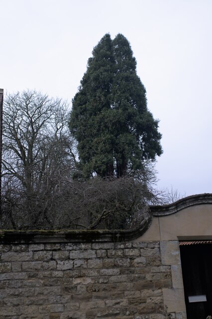
The woodland is predominantly composed of various species of trees, such as oak, birch, and beech, which provide a lush and verdant canopy. The forest floor is adorned with a diverse array of flora, including bluebells, ferns, and mosses, creating a vibrant and enchanting landscape.

Cogdale Holt is home to a wide range of wildlife, making it a popular spot for wildlife enthusiasts and birdwatchers. Visitors can expect to spot a variety of bird species, including woodpeckers, owls, and songbirds. The woodland also hosts an array of mammals, such as deer, foxes, and rabbits, which can occasionally be seen foraging among the trees.

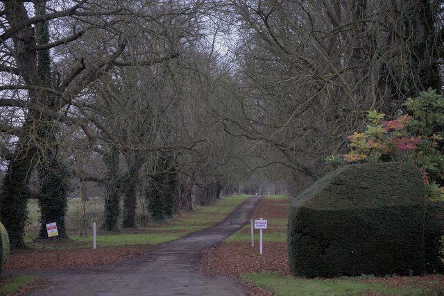
For those seeking outdoor activities, Cogdale Holt offers numerous walking trails and hiking routes, allowing visitors to explore the natural beauty of the area. The trails vary in difficulty, catering to both casual walkers and more experienced hikers. Along the paths, visitors may also come across secluded picnic areas, providing the perfect opportunity to relax and enjoy the surroundings.

Overall, Cogdale Holt in Lincolnshire is a captivating woodland retreat, offering a harmonious blend of natural beauty and recreational opportunities. Whether one seeks tranquility, wildlife encounters, or outdoor adventures, this forested area is sure to captivate and delight all who visit.

If you have any feedback on the listing, please let us know in the comments section below.
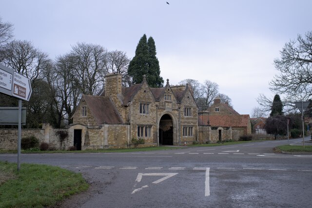
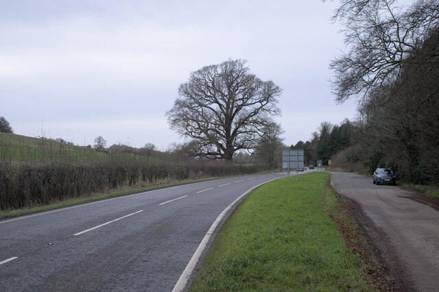
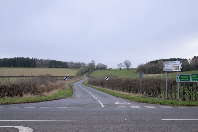
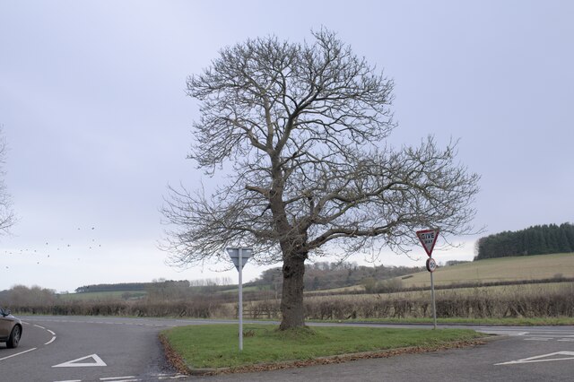
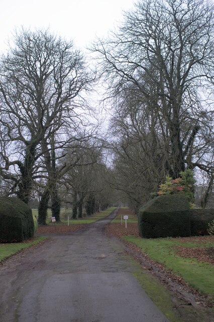
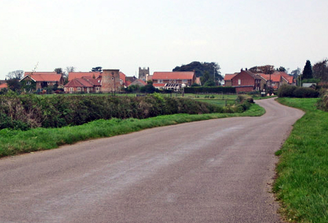
Cogdale Holt Images

Images are sourced within 2km of 52.873231/-0.7315366 or Grid Reference SK8531. Thanks to Geograph Open Source API. All images are credited.

The Salt Way at Three Queens Three Queens is the name of the wood to the right of the road. It sits at the corner of the crossing of two ancient routes: the Salt Way (this road), and Sewstern Lane (crossing left to right at the start of the bend).
"The name Three Queens is said to refer to the burial barrows of three queens of the Bronze Age." <span class="nowrap"><a title="http://local-history.org.uk/waltham/pages/local-history/croxton-park-abbey/" rel="nofollow ugc noopener" href="http://local-history.org.uk/waltham/pages/local-history/croxton-park-abbey/">Link</a><img style="margin-left:2px;" alt="External link" title="External link - shift click to open in new window" src="https://s1.geograph.org.uk/img/external.png" width="10" height="10"/></span>. Several barrows have certainly been recorded here (Leicestershire historic environment record MLE3559 <span class="nowrap"><a title="https://www.heritagegateway.org.uk/Gateway/Results_Single.aspx?uid=MLE3559&resourceID=1021" rel="nofollow ugc noopener" href="https://www.heritagegateway.org.uk/Gateway/Results_Single.aspx?uid=MLE3559&resourceID=1021">Link</a><img style="margin-left:2px;" alt="External link" title="External link - shift click to open in new window" src="https://s1.geograph.org.uk/img/external.png" width="10" height="10"/></span> ), one containing the skeleton of a woman.
<span class="nowrap"><a title="https://www.bottesfordhistory.org.uk/content/about/read-it-hear-not-forgetting/not-forgetting-chapter-9-getting-about-in-the-past" rel="nofollow ugc noopener" href="https://www.bottesfordhistory.org.uk/content/about/read-it-hear-not-forgetting/not-forgetting-chapter-9-getting-about-in-the-past">Link</a><img style="margin-left:2px;" alt="External link" title="External link - shift click to open in new window" src="https://s1.geograph.org.uk/img/external.png" width="10" height="10"/></span> states "Here stood an 18th Century hostelry “of ill repute”, The Three Queens, frequented by cattle drovers and perhaps footpads. The inn eventually closed when the ancient trackways were replaced by newer roads, and there is nothing at the site now except a muddy track crossing a minor road."
The Salt Way at Three Queens
Three Queens is the name of the wood to the right of the road. It sits at the corner of the crossing of two ancient routes: the Salt Way (this road), and Sewstern Lane (crossing left to right at the start of the bend). "The name Three Queens is said to refer to the burial barrows of three queens of the Bronze Age." LinkExternal link. Several barrows have certainly been recorded here (Leicestershire historic environment record MLE3559 LinkExternal link ), one containing the skeleton of a woman. LinkExternal link states "Here stood an 18th Century hostelry “of ill repute”, The Three Queens, frequented by cattle drovers and perhaps footpads. The inn eventually closed when the ancient trackways were replaced by newer roads, and there is nothing at the site now except a muddy track crossing a minor road."
Gorse Lane east of Croxton Kerrial Part of the Salt Way, and a former Roman road along the top of the Lincolnshire Limestone ridge south of Grantham.
The name 'Gorse Lane' seems to be applied by local residents and businesses to the whole stretch of this road, from its junctions with the A607 in the west to the B1174 in the east. On OS and Google maps the name only appears on the eastern-most section of the road.
Gorse Lane east of Croxton Kerrial
Part of the Salt Way, and a former Roman road along the top of the Lincolnshire Limestone ridge south of Grantham. The name 'Gorse Lane' seems to be applied by local residents and businesses to the whole stretch of this road, from its junctions with the A607 in the west to the B1174 in the east. On OS and Google maps the name only appears on the eastern-most section of the road.
Sewstern Lane crossing the Salt Way at Three Queens Three Queens is the name of the wood on the left. It sits at the corner of the crossing of two ancient routes: Sewstern Lane (crossing straight ahead) and the Salt Way (road). The area around the wood contains several Bronze Age burial mounds (barrows); and the name 'Three Queens' may derive from these - because when one of the mounds was excavated, it was found to contain the skeleton of a woman. <span class="nowrap"><a title="https://heritage-explorer.lincolnshire.gov.uk/Monument/MLI33941" rel="nofollow ugc noopener" href="https://heritage-explorer.lincolnshire.gov.uk/Monument/MLI33941">Link</a><img style="margin-left:2px;" alt="External link" title="External link - shift click to open in new window" src="https://s1.geograph.org.uk/img/external.png" width="10" height="10"/></span>
<span class="nowrap"><a title="https://www.bottesfordhistory.org.uk/content/about/read-it-hear-not-forgetting/not-forgetting-chapter-9-getting-about-in-the-past" rel="nofollow ugc noopener" href="https://www.bottesfordhistory.org.uk/content/about/read-it-hear-not-forgetting/not-forgetting-chapter-9-getting-about-in-the-past">Link</a><img style="margin-left:2px;" alt="External link" title="External link - shift click to open in new window" src="https://s1.geograph.org.uk/img/external.png" width="10" height="10"/></span> states "Here stood an 18th Century hostelry "of ill repute", The Three Queens, frequented by cattle drovers and perhaps footpads. The inn eventually closed when the ancient trackways were replaced by newer roads, and there is nothing at the site now except a muddy track crossing a minor road."
Sewstern Lane crossing the Salt Way at Three Queens
Three Queens is the name of the wood on the left. It sits at the corner of the crossing of two ancient routes: Sewstern Lane (crossing straight ahead) and the Salt Way (road). The area around the wood contains several Bronze Age burial mounds (barrows); and the name 'Three Queens' may derive from these - because when one of the mounds was excavated, it was found to contain the skeleton of a woman. LinkExternal link LinkExternal link states "Here stood an 18th Century hostelry "of ill repute", The Three Queens, frequented by cattle drovers and perhaps footpads. The inn eventually closed when the ancient trackways were replaced by newer roads, and there is nothing at the site now except a muddy track crossing a minor road."
The Gatehouse The gatehouse for Denton Manor.  These are a grade II listed building - see <span class="nowrap"><a title="https://historicengland.org.uk/listing/the-list/list-entry/1147559" rel="nofollow ugc noopener" href="https://historicengland.org.uk/listing/the-list/list-entry/1147559">Link</a><img style="margin-left:2px;" alt="External link" title="External link - shift click to open in new window" src="https://s1.geograph.org.uk/img/external.png" width="10" height="10"/></span>
The Gatehouse
The gatehouse for Denton Manor. These are a grade II listed building - see LinkExternal link
The gatehouse at the crossroads Under the arch is the road to Denton Manor.  A grade II listed building - see <span class="nowrap"><a title="https://historicengland.org.uk/listing/the-list/list-entry/1147559" rel="nofollow ugc noopener" href="https://historicengland.org.uk/listing/the-list/list-entry/1147559">Link</a><img style="margin-left:2px;" alt="External link" title="External link - shift click to open in new window" src="https://s1.geograph.org.uk/img/external.png" width="10" height="10"/></span>
The gatehouse at the crossroads
Under the arch is the road to Denton Manor. A grade II listed building - see LinkExternal link
The A607 road The A607 is an A road which runs for 54 miles between Leicester and Bracebridge Heath, a village on the outskirts of Lincoln. It crosses the A1 at Grantham. Beyond Grantham, the A607 forms the "villages" route between the A1 and Lincoln, not as direct as the High Dyke route (B6403) and not as fast as the Newark route (A1/A46), but is probably the most scenic of the three.
The A607 road
The A607 is an A road which runs for 54 miles between Leicester and Bracebridge Heath, a village on the outskirts of Lincoln. It crosses the A1 at Grantham. Beyond Grantham, the A607 forms the "villages" route between the A1 and Lincoln, not as direct as the High Dyke route (B6403) and not as fast as the Newark route (A1/A46), but is probably the most scenic of the three.
A Hill In the foreground is the A607, the Grantham to Melton road.  Joining it at the crossroads at Denton is country lane to Hungerton.
A Hill
In the foreground is the A607, the Grantham to Melton road. Joining it at the crossroads at Denton is country lane to Hungerton.
 Castanea sativa Sweet chestnut tree on the green triangle at Denton, on the crossroads on the A607.
Castanea sativa
Sweet chestnut tree on the green triangle at Denton, on the crossroads on the A607.
Spring in field There is a spring in this field, in a little fold in the rising ground.
Spring in field
There is a spring in this field, in a little fold in the rising ground.
The drive to the Manor Through the arch at <a href="https://www.geograph.org.uk/photo/7057862">SK8632 : The gatehouse at the crossroads</a>.
The drive to the Manor
Ashlar panel Described in the listing at <span class="nowrap"><a title="https://historicengland.org.uk/listing/the-list/list-entry/1147559" rel="nofollow ugc noopener" href="https://historicengland.org.uk/listing/the-list/list-entry/1147559">Link</a><img style="margin-left:2px;" alt="External link" title="External link - shift click to open in new window" src="https://s1.geograph.org.uk/img/external.png" width="10" height="10"/></span> as "an ashlar panel containing coat of arms and inscription "Per ignem per gladium"".  This is the motto of the Welby family  - the rather alarming "By Fire By Sword".
Ashlar panel
Described in the listing at LinkExternal link as "an ashlar panel containing coat of arms and inscription "Per ignem per gladium"". This is the motto of the Welby family - the rather alarming "By Fire By Sword".
Architectural detail Features of the gatehouse described in the listing at a grade II listed building - see <span class="nowrap"><a title="https://historicengland.org.uk/listing/the-list/list-entry/1147559" rel="nofollow ugc noopener" href="https://historicengland.org.uk/listing/the-list/list-entry/1147559">Link</a><img style="margin-left:2px;" alt="External link" title="External link - shift click to open in new window" src="https://s1.geograph.org.uk/img/external.png" width="10" height="10"/></span> . "All windows have stone ovolo moulded mullions, diamond leaded casements and cornices. In the 3 gables are small keyed oculi."
Architectural detail
Features of the gatehouse described in the listing at a grade II listed building - see LinkExternal link . "All windows have stone ovolo moulded mullions, diamond leaded casements and cornices. In the 3 gables are small keyed oculi."
One of the gates The gatehouse in <a href="https://www.geograph.org.uk/photo/7057860">SK8632 : The Gatehouse</a> has two of these, as described in the listing at a grade II listed building - see <span class="nowrap"><a title="https://historicengland.org.uk/listing/the-list/list-entry/1147559" rel="nofollow ugc noopener" href="https://historicengland.org.uk/listing/the-list/list-entry/1147559">Link</a><img style="margin-left:2px;" alt="External link" title="External link - shift click to open in new window" src="https://s1.geograph.org.uk/img/external.png" width="10" height="10"/></span> .
One of the gates
The gatehouse in SK8632 : The Gatehouse has two of these, as described in the listing at a grade II listed building - see LinkExternal link .
Knot motif At the centre of the gates seen in <a href="https://www.geograph.org.uk/photo/7057944">SK8632 : One of the gates</a> is this complex motif
Knot motif
At the centre of the gates seen in SK8632 : One of the gates is this complex motif
found art I liked the appearance of these tiles, removed during the work at <a href="https://www.geograph.org.uk/photo/7057860">SK8632 : The Gatehouse</a> which necessitates the scaffolding seen there.
found art
I liked the appearance of these tiles, removed during the work at SK8632 : The Gatehouse which necessitates the scaffolding seen there.
Tall tree A pine behind the gatehouse at Denton Manor
Tall tree
A pine behind the gatehouse at Denton Manor
The drive to the Manor
A tree-lined drive
A tree-lined drive
Show me another place!

Cogdale Holt is located at Grid Ref: SK8531 (Lat: 52.873231, Lng: -0.7315366)

Administrative County: Lincolnshire

District: South Kesteven

Police Authority: Lincolnshire

What 3 Words

///triangles.polo.managed. Near Barrowby, Lincolnshire

Related Wikis

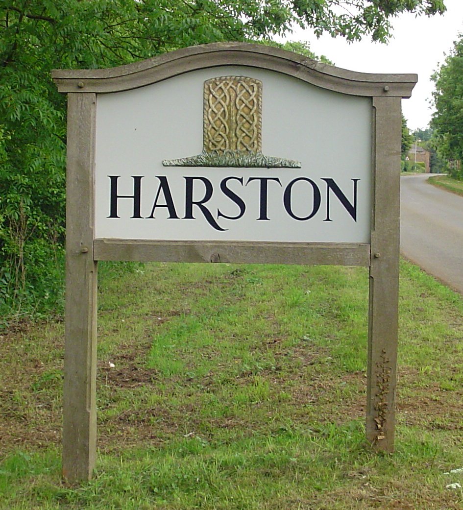
Harston, Leicestershire

Harston is a crossroads village and former civil parish, now in the parish of Belvoir, in the Melton district, in Leicestershire, England, near the border...

Denton, Lincolnshire

Denton is a village and civil parish in the South Kesteven district of Lincolnshire, England. The population of the civil parish was 273 at the 2011 census...

Croxton Kerrial

Croxton Kerrial (pronounced [ˈkroʊsən ˈkɛrɨl]) is a village and civil parish in the Melton borough of Leicestershire, England, 6.6 miles (10.6 km) south...

Croxton Abbey

Croxton Abbey, near Croxton Kerrial, Leicestershire, was a Premonstratensian monastery founded by William I, Count of Boulogne. == History == Croxton Abbey...

Nearby Amenities

Located within 500m of 52.873231,-0.7315366
Ele: 142.4000244
Lat/Long: 52.8712869/-0.7361878
Ele: 128.2205811
Lat/Long: 52.8726403/-0.7357694
Ele: 95.0554199
Lat/Long: 52.8746866/-0.7370569
Denton Park
Place: locality
Source: Bing
Lat/Long: 52.8757204/-0.7279627
Barrier: stile
Material: wood
Stile: stepover
Lat/Long: 52.871068/-0.7261722
The data included in this document is from www.openstreetmap.org. The data is made available under ODbL.

Have you been to Cogdale Holt?

Leave your review of Cogdale Holt below (or comments, questions and feedback).