Upper Bowley Copse

Wood, Forest in Sussex Chichester

England

Upper Bowley Copse

Woolbeding Common - the western slopes of Telegraph Hill
Woolbeding Common - the western slopes of Telegraph Hill Credit: Ian Cunliffe

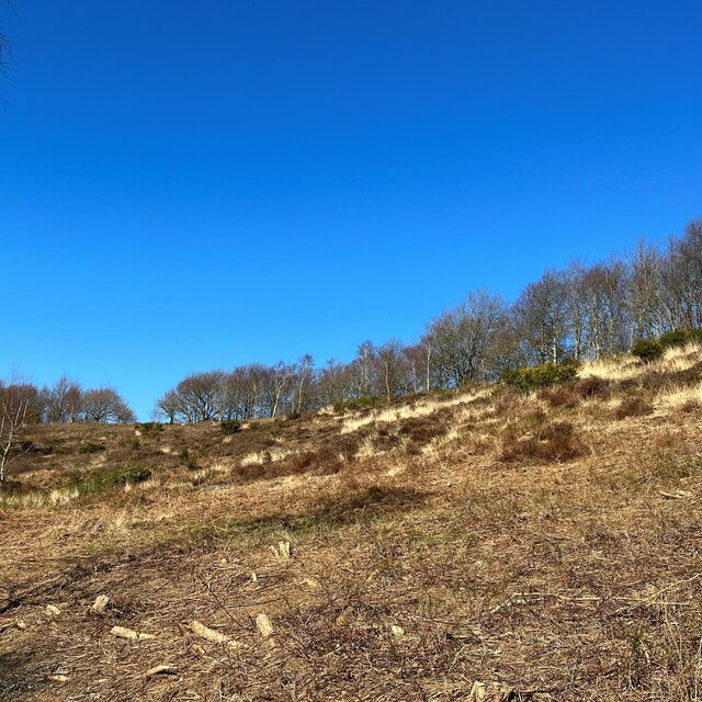
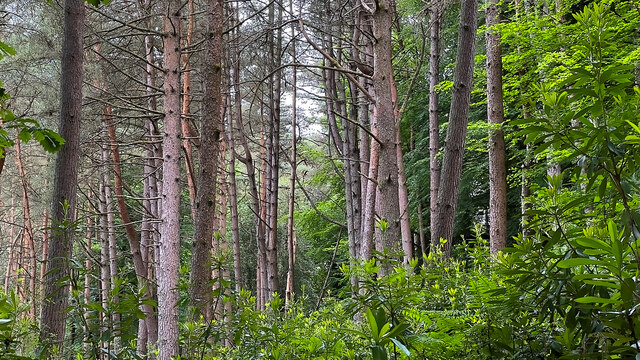
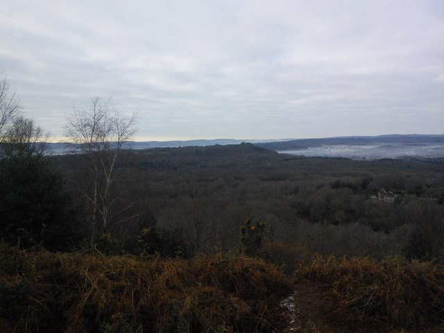
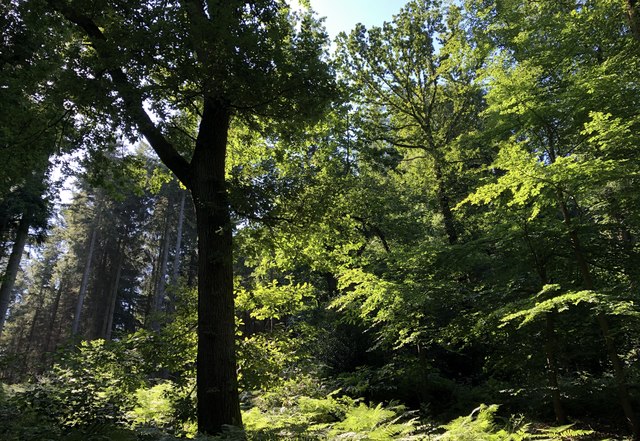
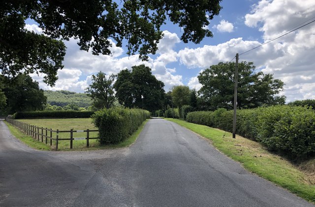
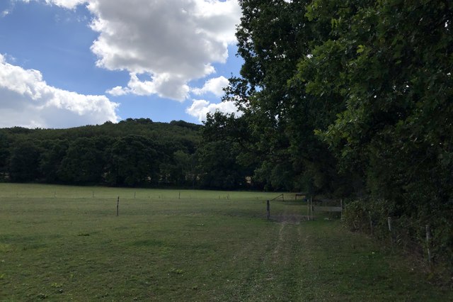
Upper Bowley Copse is a picturesque woodland located in Sussex, England. Covering an area of approximately 50 acres, it is characterized by its dense canopy of native trees and diverse flora and fauna. The copse is part of the wider Bowley Forest and is a popular destination for nature enthusiasts and hikers.

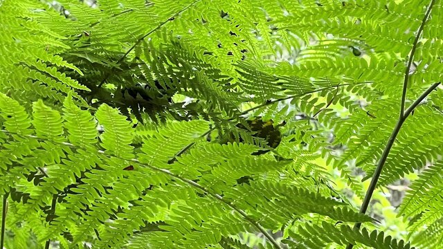
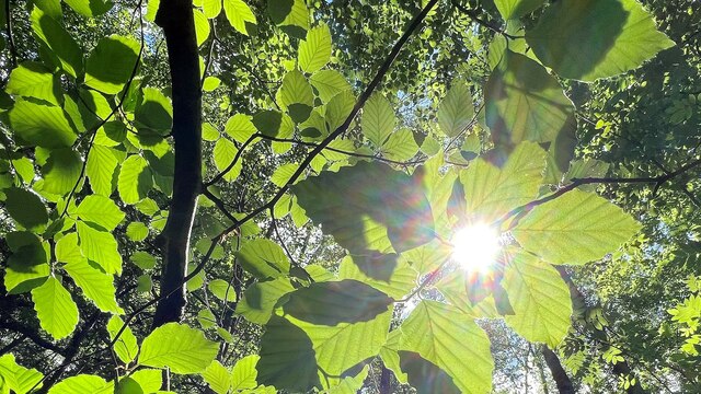
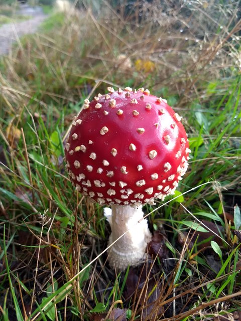
The woodland is dominated by a mix of deciduous and coniferous trees, including oak, beech, and pine, creating a rich and varied habitat. The dense vegetation provides a sanctuary for a wide range of wildlife, including deer, foxes, badgers, and numerous bird species. Birdwatchers can spot woodpeckers, tawny owls, and various species of warblers among the trees.

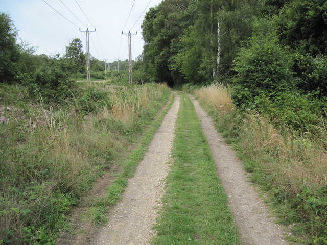
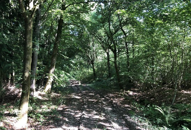
A network of well-maintained footpaths winds through the copse, allowing visitors to explore its natural beauty. The paths lead to secluded glades, tranquil ponds, and meandering streams, providing opportunities for peaceful walks and picnics. In spring, the woodland floor is carpeted with bluebells, creating a stunning display of color.

Upper Bowley Copse is also of historical significance, with evidence of human activity dating back centuries. The remains of ancient settlements and burial mounds can be found within the woodland, adding an element of intrigue and mystery to its allure.

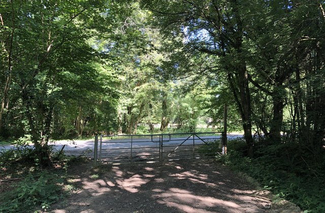
The copse is open to the public year-round, and there is ample parking available nearby. It is a cherished local treasure, offering a peaceful retreat from the hustle and bustle of everyday life, and providing a glimpse into the natural and historical heritage of Sussex.

If you have any feedback on the listing, please let us know in the comments section below.

Upper Bowley Copse Images

Images are sourced within 2km of 51.022714/-0.78410223 or Grid Reference SU8525. Thanks to Geograph Open Source API. All images are credited.

Woolbeding Common - the western slopes of Telegraph Hill
House on Linch Road This striking house has an old-style telephone box painted green to match its exterior woodwork. Other pics in the grid square suggest it was previously a shop and a post office. Perhaps it still is? I don't think so, but I didn't check. This would account for the phone box anyway.
House on Linch Road
This striking house has an old-style telephone box painted green to match its exterior woodwork. Other pics in the grid square suggest it was previously a shop and a post office. Perhaps it still is? I don't think so, but I didn't check. This would account for the phone box anyway.
Conifers in the north part of Oakham Common
Ferns on Oakham Common
Sunlight and leaves near the New Lipchis Way
Track towards Pound Common
Fly Agaric on Woolbeding Common
View across Woolbeding Common
West Copse Morning sunshine illuminating the trees in West Copse on the slopes of Telegraph Hill.
West Copse
Morning sunshine illuminating the trees in West Copse on the slopes of Telegraph Hill.
Older Hill Copse On public footpath number 1273 passing through Older Hill Copse.
Older Hill Copse
On public footpath number 1273 passing through Older Hill Copse.
Approaching Linch Road Leaving public footpath number 1273.
Approaching Linch Road
Leaving public footpath number 1273.
Driveway to Waldergrove Farm The driveway is also a public footpath (number 1174).
Driveway to Waldergrove Farm
The driveway is also a public footpath (number 1174).
Church near Milland Milland Evangelical Church, which originally started back in 1909 as the Milland Mission Hall.
Church near Milland
Milland Evangelical Church, which originally started back in 1909 as the Milland Mission Hall.
Roman Posting Station On the Iping Road looking southwards. The slight rise in the road just ahead indicates the site of a Roman Posting Station on the OS Map.
Historic England records this as a Scheduled Monument. It is described as a Mansio, which is a mainly masonry built building, providing accommodation and stabling for travellers associated with the Cursus Publicus - the provincial Postal Service of Roman Britain.
See <span class="nowrap"><a title="https://historicengland.org.uk/listing/the-list/list-entry/1015887" rel="nofollow ugc noopener" href="https://historicengland.org.uk/listing/the-list/list-entry/1015887">Link</a><img style="margin-left:2px;" alt="External link" title="External link - shift click to open in new window" src="https://s1.geograph.org.uk/img/external.png" width="10" height="10"/></span>
Roman Posting Station
On the Iping Road looking southwards. The slight rise in the road just ahead indicates the site of a Roman Posting Station on the OS Map. Historic England records this as a Scheduled Monument. It is described as a Mansio, which is a mainly masonry built building, providing accommodation and stabling for travellers associated with the Cursus Publicus - the provincial Postal Service of Roman Britain. See LinkExternal link
Heading towards Dunner Hill On public footpath number 3297 with Dunner Hill prominent in the background.
Heading towards Dunner Hill
On public footpath number 3297 with Dunner Hill prominent in the background.
Track near Queen’s Corner Heading towards Titty Hill with Lyford Copse on the left.
Track near Queen’s Corner
Heading towards Titty Hill with Lyford Copse on the left.
Track Junction A number of paths join at this point on the track at Titty Hill. The Serpent Trail merges in from the right. The trail is a 64 mile long distance footpath between Petersfield and Haslemere.
Track Junction
A number of paths join at this point on the track at Titty Hill. The Serpent Trail merges in from the right. The trail is a 64 mile long distance footpath between Petersfield and Haslemere.
The Serpent Trail On the Serpent Trail heading towards Woolbeding Common.
The Serpent Trail
On the Serpent Trail heading towards Woolbeding Common.
Show me another place!

Upper Bowley Copse is located at Grid Ref: SU8525 (Lat: 51.022714, Lng: -0.78410223)

Administrative County: West Sussex

District: Chichester

Police Authority: Sussex

What 3 Words

///regularly.shuttled.ears. Near Midhurst, West Sussex

Related Wikis

Titty Hill

Titty Hill is a hamlet in the civil parish of Milland in the Chichester district of West Sussex, England. It is close to a Roman way station or mansio...

Wispers

Wispers is a Grade II listed British country house in the parish of Stedham with Iping near Midhurst, West Sussex. The house was built in 1874–1876 by...

Milland

Milland is a village and civil parish in the Chichester district of West Sussex, England. It is situated north of the A272 road on the border with Hampshire...

Linch

Linch is an Anglican parish, and a loose collection of hamlets that make up the civil parish of the same name in the Chichester District of West Sussex...

Chithurst Buddhist Monastery

Cittaviveka (Pali: 'discerning mind'), commonly known as Chithurst Buddhist Monastery, is an English Theravada Buddhist Monastery in the Thai Forest Tradition...

Iping

Iping is a village and former civil parish, now in the parish of Stedham with Iping, in the Chichester district of West Sussex, England. It lies just off...

Stedham with Iping

Stedham with Iping is a civil parish in the Chichester district of West Sussex, England. It is approximately two miles (3 km) west of Midhurst and comprises...

Woolbeding

Woolbeding is a village and ecclesiastical parish in the District of Chichester in West Sussex, England, 1 mile (1.6 km) north-west of Midhurst and north...

Nearby Amenities

Located within 500m of 51.022714,-0.78410223
Barrier: stile
Lat/Long: 51.0212185/-0.7867948
Titty Hill
Place: hamlet
Wikidata: Q7810258
Lat/Long: 51.0248509/-0.7820736
Barrier: stile
Lat/Long: 51.018286/-0.785278
Barrier: stile
Lat/Long: 51.0183843/-0.785412
Dunner Hill
Ele: 145
Natural: peak
Lat/Long: 51.0220817/-0.7875834
Barrier: stile
Lat/Long: 51.022523/-0.7864231
Barrier: stile
Lat/Long: 51.0236598/-0.7869977
Barrier: stile
Lat/Long: 51.02399/-0.7879959
Post Box
Collection Times: Mo-Fr 16:30; Sa 09:30
Post Box Type: lamp
Ref: GU29 116
Royal Cypher: EIIR
Royal Cypher Wikidata: Q33102113
Lat/Long: 51.0251914/-0.787952
The data included in this document is from www.openstreetmap.org. The data is made available under ODbL.

Have you been to Upper Bowley Copse?

Leave your review of Upper Bowley Copse below (or comments, questions and feedback).