Baker's Copse

Wood, Forest in Sussex Chichester

England

Baker's Copse

Scene on Stedham Common
Scene on Stedham Common Credit: Ian Cunliffe

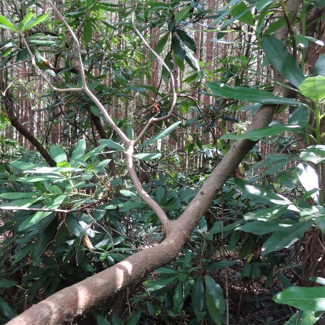
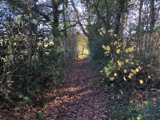
Baker's Copse is a picturesque woodland located in Sussex, England. Covering an area of approximately 10 acres, it is nestled amidst the rolling hills and verdant countryside of the county. The woodland is characterized by its dense canopy of trees, which creates a serene and tranquil atmosphere for visitors.

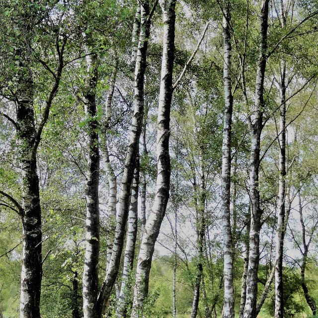
Baker's Copse boasts a diverse range of tree species, including oak, beech, and ash, among others. These magnificent trees provide a haven for various forms of wildlife, making it an ideal destination for nature enthusiasts and wildlife lovers. The woodland floor is adorned with a carpet of wildflowers, adding bursts of color to the landscape throughout the year.

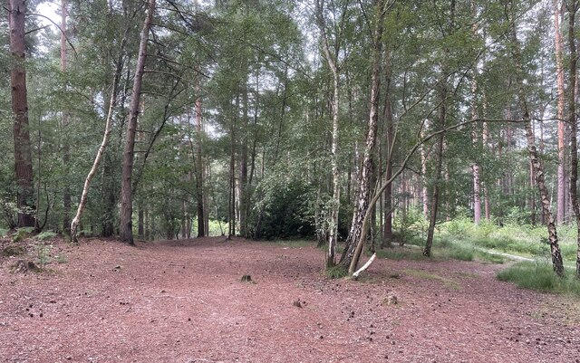
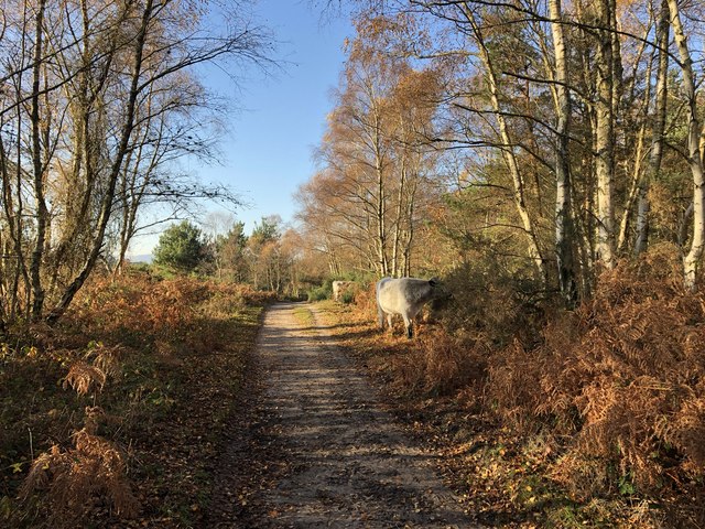
The copse is crisscrossed by a network of well-maintained footpaths, allowing visitors to explore its beauty at their own pace. These paths wind through the trees, providing glimpses of enchanting clearings and babbling brooks. It is not uncommon to spot woodland creatures such as squirrels, rabbits, and a variety of bird species during a leisurely stroll through Baker's Copse.

For those seeking a peaceful retreat, the copse offers several secluded spots where visitors can sit and enjoy the tranquility of nature. Whether it is a picnic with family and friends or simply a moment of solitude, Baker's Copse provides the perfect setting.

Overall, Baker's Copse is a captivating woodland that showcases the natural beauty of Sussex. Its rich biodiversity and stunning landscapes make it a must-visit destination for anyone seeking solace in the serenity of nature.

If you have any feedback on the listing, please let us know in the comments section below.

Baker's Copse Images

Images are sourced within 2km of 50.978457/-0.78802184 or Grid Reference SU8520. Thanks to Geograph Open Source API. All images are credited.

Scene on Stedham Common
Birch trees on Iping Common
Midhurst Common On one of the many paths crossing Midhurst Common.
Midhurst Common
On one of the many paths crossing Midhurst Common.
Footpath through The Warren On public footpath number 911 heading westwards from Severals Road. The path at this point was surfaced with rejects of the ‘Midhurst Whites’ bricks, remnants of which can be seen.
Footpath through The Warren
On public footpath number 911 heading westwards from Severals Road. The path at this point was surfaced with rejects of the ‘Midhurst Whites’ bricks, remnants of which can be seen.
Old Railway Beyond the gate lies the route of the former railway line from Midhurst to Petersfield.
Old Railway
Beyond the gate lies the route of the former railway line from Midhurst to Petersfield.
A272, eastbound The A272 is a very rural A road, which follows an east to west route from near Heathfield to Winchester, passing through the Sussex countryside. It runs 86 miles from Sutton Scotney to Five Ashes <a href="https://www.geograph.org.uk/photo/6669405">TQ5523 : A267, A272 junction</a>.
<span class="nowrap"><a title="http://www.sabre-roads.org.uk/wiki/index.php?title=A272" rel="nofollow ugc noopener" href="http://www.sabre-roads.org.uk/wiki/index.php?title=A272">Link</a><img style="margin-left:2px;" alt="External link" title="External link - shift click to open in new window" src="https://s1.geograph.org.uk/img/external.png" width="10" height="10"/></span> 
Wikipedia: <span class="nowrap"><a title="http://en.wikipedia.org/wiki/A272_road" rel="nofollow ugc noopener" href="http://en.wikipedia.org/wiki/A272_road">Link</a><img style="margin-left:2px;" alt="External link" title="External link - shift click to open in new window" src="https://s1.geograph.org.uk/img/external.png" width="10" height="10"/></span>
A272, eastbound
The A272 is a very rural A road, which follows an east to west route from near Heathfield to Winchester, passing through the Sussex countryside. It runs 86 miles from Sutton Scotney to Five Ashes TQ5523 : A267, A272 junction. LinkExternal link Wikipedia: LinkExternal link
A272, Stedham Common The A272 is a very rural A road, which follows an east to west route from near Heathfield to Winchester, passing through the Sussex countryside. It runs 86 miles from Sutton Scotney to Five Ashes <a href="https://www.geograph.org.uk/photo/6669405">TQ5523 : A267, A272 junction</a>.
<span class="nowrap"><a title="http://www.sabre-roads.org.uk/wiki/index.php?title=A272" rel="nofollow ugc noopener" href="http://www.sabre-roads.org.uk/wiki/index.php?title=A272">Link</a><img style="margin-left:2px;" alt="External link" title="External link - shift click to open in new window" src="https://s1.geograph.org.uk/img/external.png" width="10" height="10"/></span> 
Wikipedia: <span class="nowrap"><a title="http://en.wikipedia.org/wiki/A272_road" rel="nofollow ugc noopener" href="http://en.wikipedia.org/wiki/A272_road">Link</a><img style="margin-left:2px;" alt="External link" title="External link - shift click to open in new window" src="https://s1.geograph.org.uk/img/external.png" width="10" height="10"/></span>
A272, Stedham Common
The A272 is a very rural A road, which follows an east to west route from near Heathfield to Winchester, passing through the Sussex countryside. It runs 86 miles from Sutton Scotney to Five Ashes TQ5523 : A267, A272 junction. LinkExternal link Wikipedia: LinkExternal link
Direction signs on the A272, Stedham Common
Iping Common Crossing Iping Common on the Serpent Trail and encountering some grazing cattle.
Iping Common
Crossing Iping Common on the Serpent Trail and encountering some grazing cattle.
Iping Common On the Serpent Trail as it crosses yet another area of heathland on its way towards Petersfield.
Iping Common
On the Serpent Trail as it crosses yet another area of heathland on its way towards Petersfield.
Path Junction on Iping Common At the junction the Serpent Trail turns left leaving Iping Common and crossing over to Trotton Common.
Path Junction on Iping Common
At the junction the Serpent Trail turns left leaving Iping Common and crossing over to Trotton Common.
Goldrings Warren On the Serpent Trail approaching Goldrings Warren.
Goldrings Warren
On the Serpent Trail approaching Goldrings Warren.
Approaching the old railway bridge On Elsted Road nearing the point where the road passes over the former railway line.
Approaching the old railway bridge
On Elsted Road nearing the point where the road passes over the former railway line.
Path leaving the Elsted Road Heading towards Brimbrook Lane.
Path leaving the Elsted Road
Heading towards Brimbrook Lane.
Path crossing large field The public footpath crosses the field ahead with no indication of the line of the path on the ground.
Path crossing large field
The public footpath crosses the field ahead with no indication of the line of the path on the ground.
Old Railway The old railway line from Petersfield to Midhurst crossed the track at this point. It is probable that there was a bridge at one stage, but no evidence of that was apparent.
Old Railway
The old railway line from Petersfield to Midhurst crossed the track at this point. It is probable that there was a bridge at one stage, but no evidence of that was apparent.
Bridge near Minsted Approaching the hamlet of Minsted a small bridge crosses a stream which feeds into the nearby River Rother.
Bridge near Minsted
Approaching the hamlet of Minsted a small bridge crosses a stream which feeds into the nearby River Rother.
Haccott’s Copse The copse viewed from the bridleway to Minsted.
Haccott’s Copse
The copse viewed from the bridleway to Minsted.
Show me another place!

Baker's Copse is located at Grid Ref: SU8520 (Lat: 50.978457, Lng: -0.78802184)

Administrative County: West Sussex

District: Chichester

Police Authority: Sussex

What 3 Words

///blotting.client.turned. Near Midhurst, West Sussex

Related Wikis

Iping and Stedham Commons

Iping and Stedham Commons is a nature reserve owned and managed by the Sussex Wildlife Trust. It is a 125.4-hectare (310-acre) biological Site of Special...

Elsted railway station

Elsted railway station served the village of Elsted in the county of West Sussex in England. The village itself was a mile away to the south-west. The...
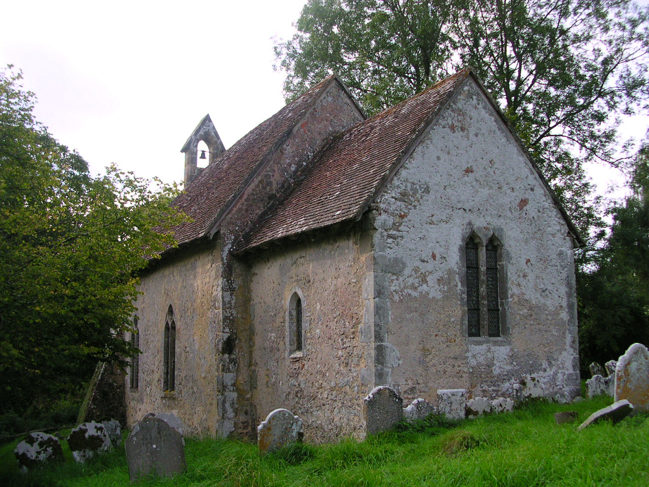
Stedham

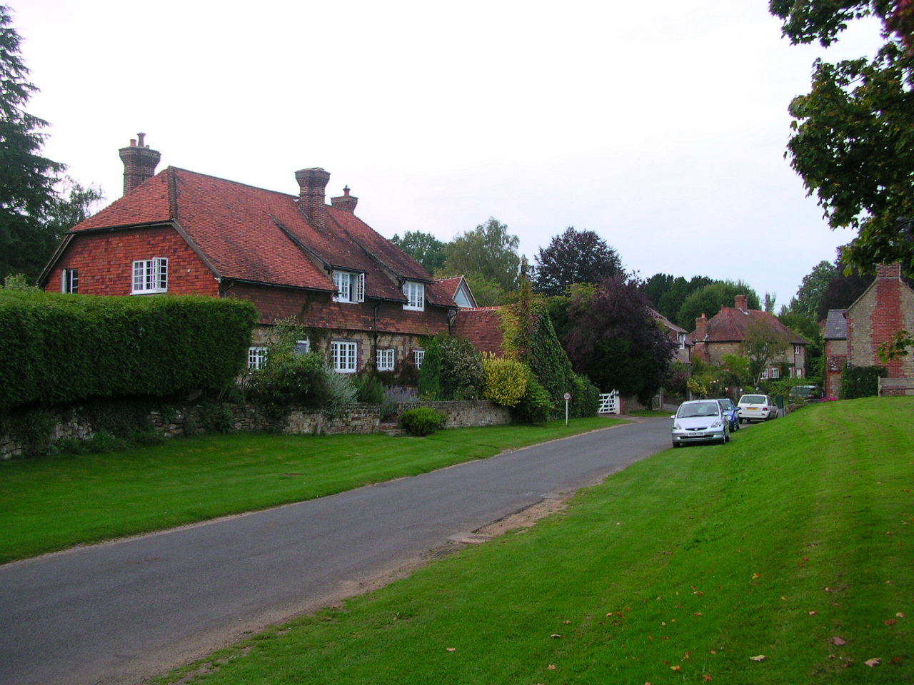
Stedham is a village and former civil parish, now in the parish of Stedham with Iping, in the Chichester district of West Sussex, England, on the A272...

Stedham with Iping

Stedham with Iping is a civil parish in the Chichester district of West Sussex, England. It is approximately two miles (3 km) west of Midhurst and comprises...

Iping

Iping is a village and former civil parish, now in the parish of Stedham with Iping, in the Chichester district of West Sussex, England. It lies just off...
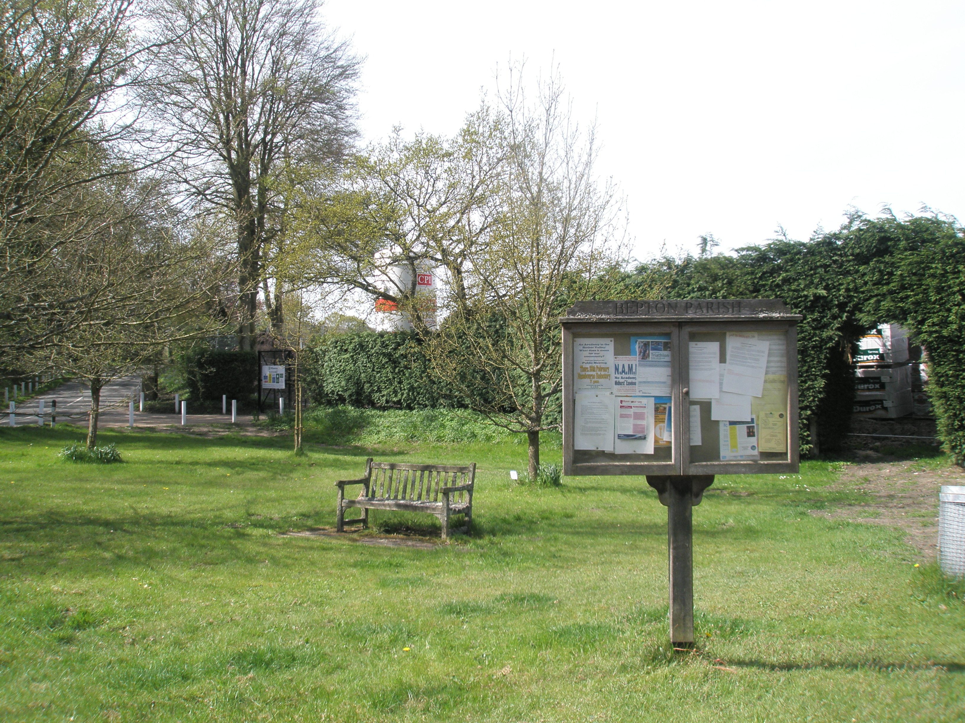
Bepton

Bepton is a village, Anglican parish and civil parish in the Chichester district of West Sussex, England. According to the 2001 census it had 104 households...

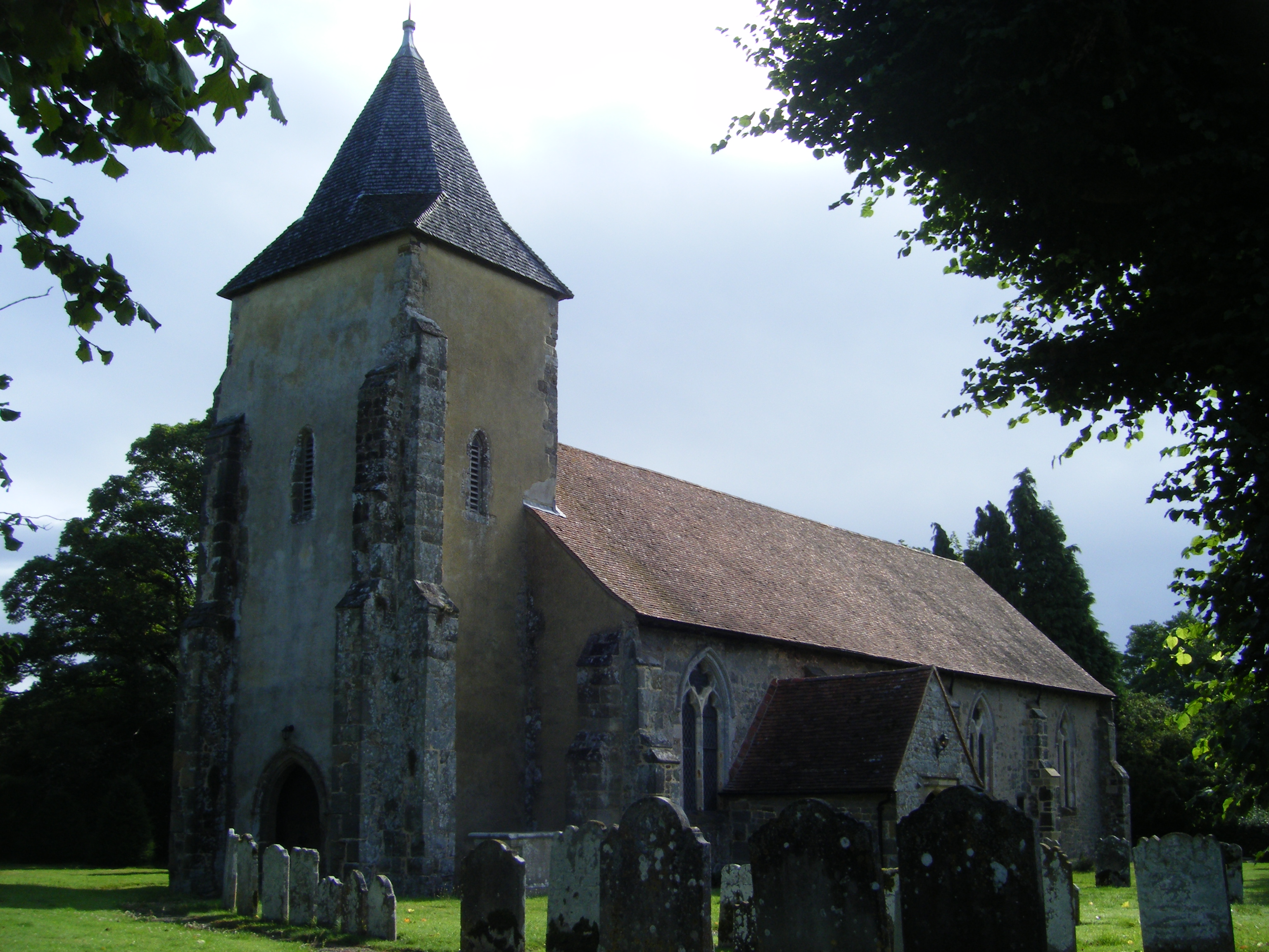
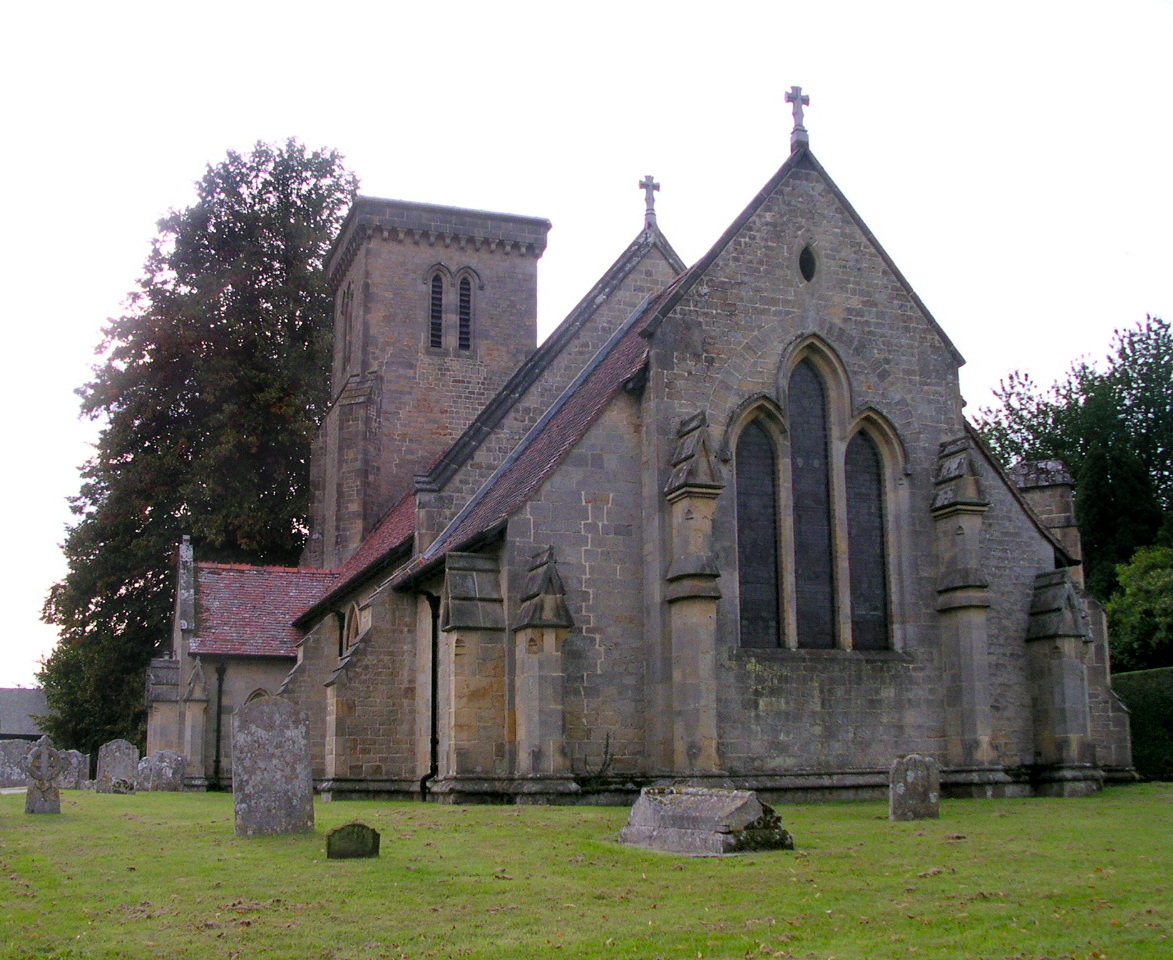
St George's Church, Trotton

St. George's Church is an Anglican church in Trotton, a village in the district of Chichester, one of seven local government districts in the English county...

Trotton with Chithurst

Trotton with Chithurst is a civil parish in the Chichester district of West Sussex, England. Trotton is on the A272 road 7 miles (11 km) west of Midhurst...

Related Videos

WALKS IN SUSSEX at STEDHAM, TROTTON, CHITHURST & IPING (SOUTH DOWNS NATIONAL PARK) [4K]

This is another video in my series “ Walks in Sussex” accompanied by my Whippet (Logan). In this episode, I visit the village of ...

Iping Common, Stedham and the River Rother

A beautiful West Sussex walk through Iping Common, on to the village of Stedham, following the meandering River Rother.

Good weather turns BAD for a last minute camp

Finding ourselves child-less for the evening and having been outside all day at our allotment and not wanting to be indoors, we ...

Nearby Amenities

Located within 500m of 50.978457,-0.78802184
Created By: osmeditor2
Lat/Long: 50.9797976/-0.7827336
Created By: osmeditor2
Lat/Long: 50.9776336/-0.7851867
Created By: osmeditor2
Lat/Long: 50.9767117/-0.7862023
Created By: osmeditor2
Lat/Long: 50.9756258/-0.7873195
Created By: osmeditor2
Lat/Long: 50.9748445/-0.7882805
Created By: osmeditor2
Lat/Long: 50.9791726/-0.783343
MINSTED1
Disused: yes
Man Made: petroleum_well
Ref GB Decc: L99/02-2
Source: DECC
Lat/Long: 50.9752222/-0.791
The data included in this document is from www.openstreetmap.org. The data is made available under ODbL.

Have you been to Baker's Copse?

Leave your review of Baker's Copse below (or comments, questions and feedback).