Berrybank Copse
Wood, Forest in Berkshire
England
Berrybank Copse

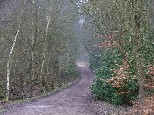
Berrybank Copse is a picturesque woodland located in the county of Berkshire, England. Situated near the village of Berrybank, the copse covers an area of approximately 50 acres and offers a serene and tranquil environment for nature enthusiasts to explore.
The copse is predominantly composed of native broadleaf trees such as oak, beech, and ash, which provide a rich and diverse habitat for a variety of wildlife. The dense canopy of the trees creates a shaded and cool atmosphere, perfect for leisurely walks or picnics on hot summer days.
Numerous footpaths traverse the copse, allowing visitors to easily navigate through the woods and enjoy the natural beauty of the surrounding area. These paths lead to a small stream that runs through the copse, adding to the charm of the woodland.
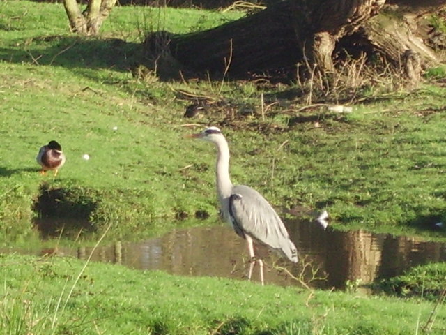
Berrybank Copse is also home to a wide range of flora and fauna. Bluebells and wild garlic carpet the forest floor in the spring, creating a colorful and fragrant display. The copse is a haven for birdwatchers, as many species of birds, including woodpeckers and owls, can be spotted throughout the year.
The copse is managed by the local council, ensuring that it remains a protected and well-maintained natural space for visitors to enjoy. Access to Berrybank Copse is free, making it a popular destination for families, walkers, and nature lovers alike.
Overall, Berrybank Copse offers a peaceful and idyllic setting for anyone seeking to escape the hustle and bustle of daily life and immerse themselves in the beauty of nature.
If you have any feedback on the listing, please let us know in the comments section below.
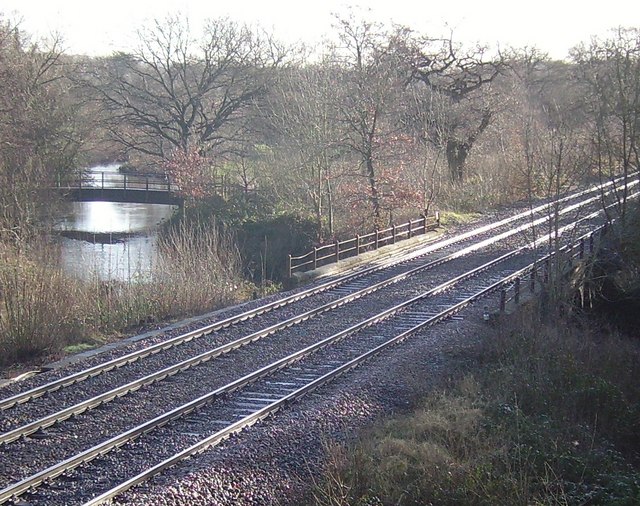
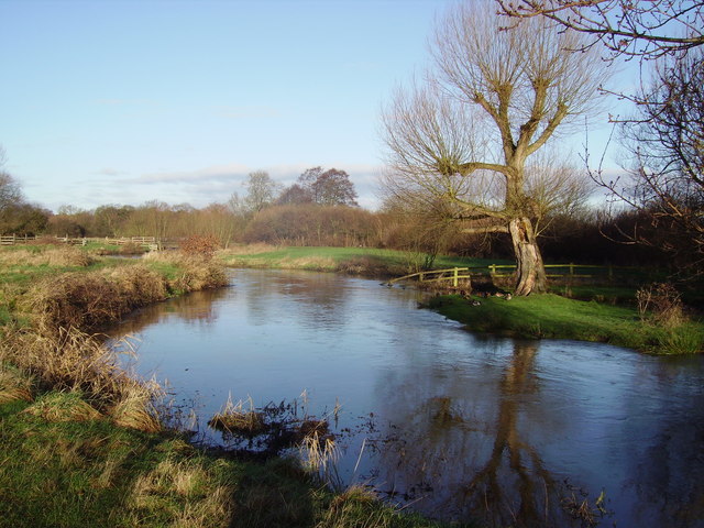
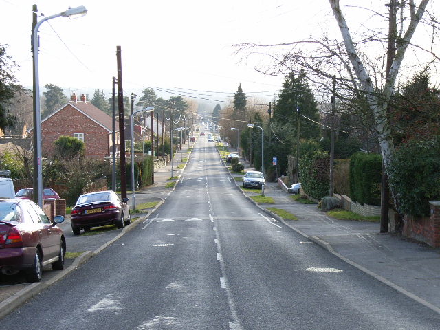
Berrybank Copse Images
Images are sourced within 2km of 51.340577/-0.77895655 or Grid Reference SU8560. Thanks to Geograph Open Source API. All images are credited.


Berrybank Copse is located at Grid Ref: SU8560 (Lat: 51.340577, Lng: -0.77895655)
Unitary Authority: Bracknell Forest
Police Authority: Thames Valley
What 3 Words
///files.magic.excusing. Near Sandhurst, Berkshire
Nearby Locations
Related Wikis
College Town, Berkshire
College Town is a suburb of Sandhurst. The settlement lies north of the A321 road and is approximately 0.5 miles (0.80 km) west of the Royal Military Academy...

Blackwater Valley
Blackwater Valley is a 33.9-hectare (84-acre) biological Site of Special Scientific Interest between Sandhurst in Berkshire and Blackwater in Hampshire...
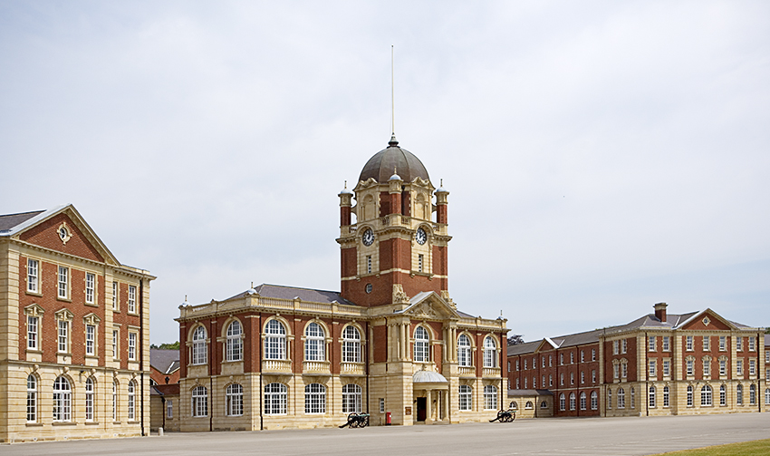
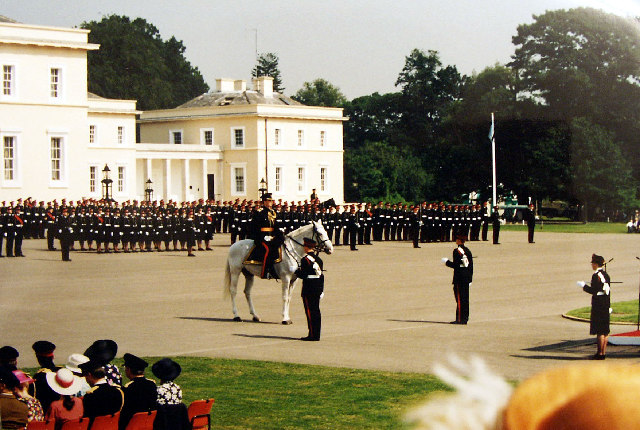
Royal Military Academy Sandhurst
The Royal Military Academy Sandhurst (RMAS or RMA Sandhurst), commonly known simply as Sandhurst, is one of several military academies of the United Kingdom...

Royal Military Academy Ground
Royal Military Academy Ground is a cricket ground in Sandhurst, Berkshire near Camberley, Surrey. The ground itself is located within the grounds of the...
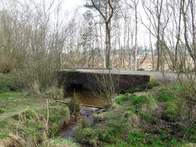
Wish Stream
Wish Stream is a small, steep English river, which is a tributary of the River Blackwater. Mostly it demarcates Berkshire and Surrey. It rises on heath...
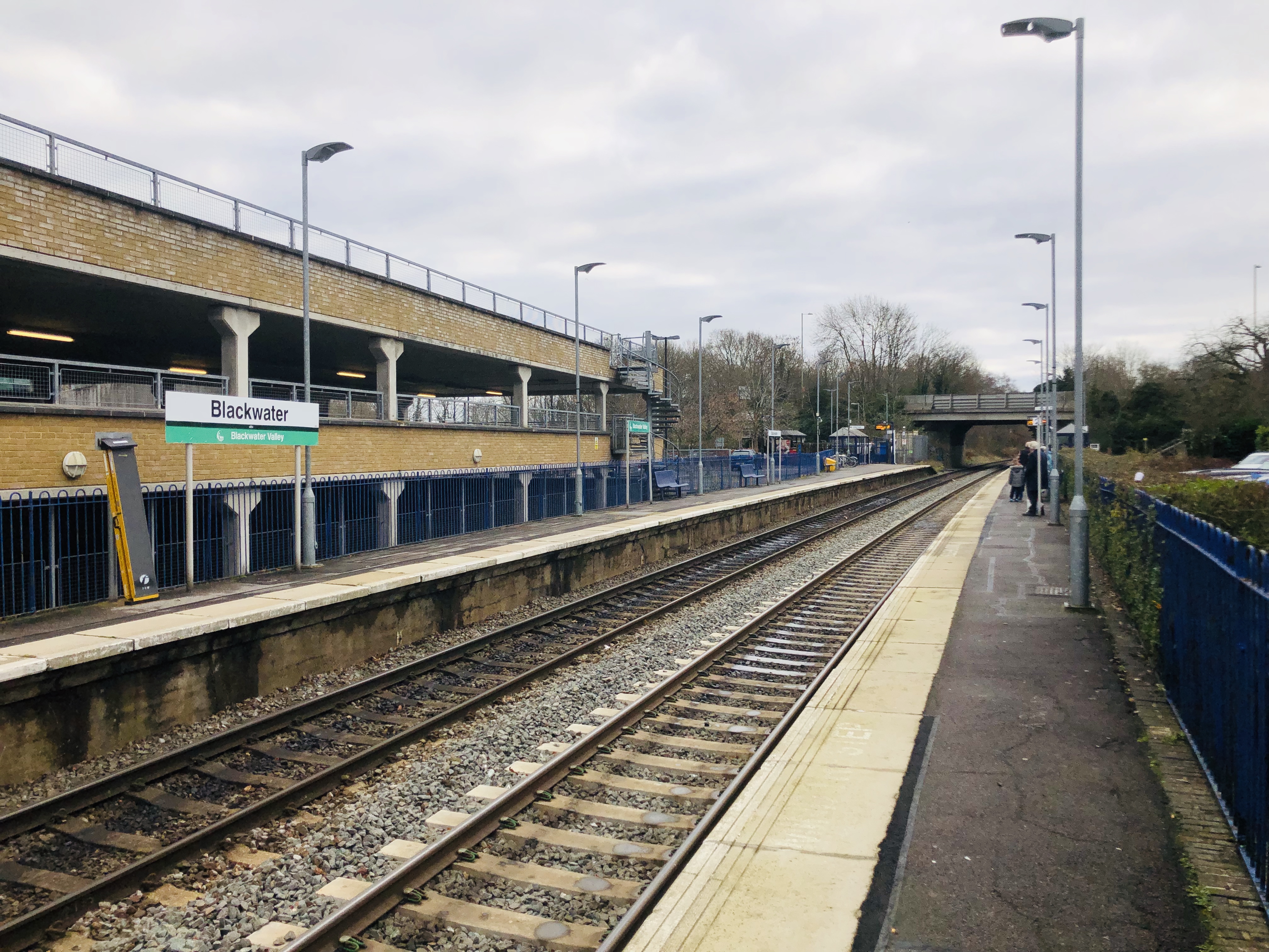
Blackwater railway station
Blackwater railway station is a railway station in Blackwater, a town on the borders of Hampshire, Surrey and Berkshire in England. The station is managed...

The Concrete Elephant
The Concrete Elephant is a sculpture and local landmark standing along the A30 in Camberley on approach to The Meadows roundabout. It was created by Barbara...

Sandhurst Town F.C.
Sandhurst Town Football Club is a semi-professional football club based in Sandhurst, Berkshire, England. Formed in 1910, the club plays at their temporary...
Nearby Amenities
Located within 500m of 51.340577,-0.77895655Have you been to Berrybank Copse?
Leave your review of Berrybank Copse below (or comments, questions and feedback).