Back Wood
Wood, Forest in Yorkshire Scarborough
England
Back Wood

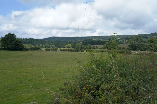
Back Wood, Yorkshire is a picturesque and idyllic woodland located in the heart of Yorkshire, England. Covering an area of approximately 500 acres, this enchanting forest is renowned for its natural beauty and rich biodiversity. Nestled amidst rolling hills and scenic landscapes, it offers a tranquil retreat for nature lovers and outdoor enthusiasts.
The woodland is predominantly composed of mature deciduous trees, including oak, beech, and ash, which create a dense canopy that provides shade and shelter for a variety of flora and fauna. The forest floor is adorned with a vibrant tapestry of wildflowers, ferns, and mosses, adding to its ethereal charm.
Back Wood is home to a diverse range of wildlife, making it a haven for nature enthusiasts. Deer, foxes, badgers, and numerous bird species can be spotted in this woodland, as well as a plethora of insects and small mammals. Nature enthusiasts will be delighted by the opportunity to observe and appreciate the intricate ecosystem that thrives within the forest.
The woodland offers a network of well-maintained walking and cycling trails, allowing visitors to explore its beauty at their own pace. These trails wind through the forest, unveiling hidden treasures such as babbling brooks, secluded ponds, and ancient ruins. The serenity of Back Wood makes it an ideal location for outdoor activities such as picnics, birdwatching, and photography.
Overall, Back Wood, Yorkshire is a captivating destination that seamlessly combines natural beauty, biodiversity, and tranquility. Whether seeking solace in nature or embarking on an adventure, this enchanting woodland is sure to leave a lasting impression on all who visit.
If you have any feedback on the listing, please let us know in the comments section below.
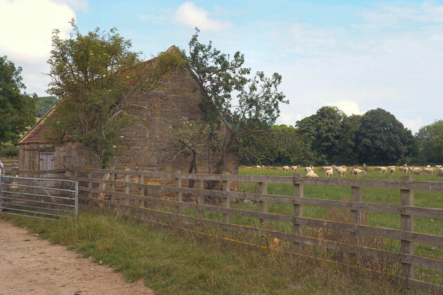
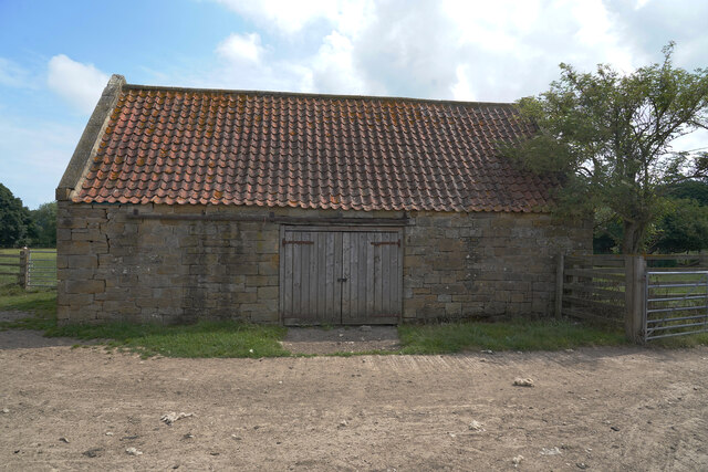
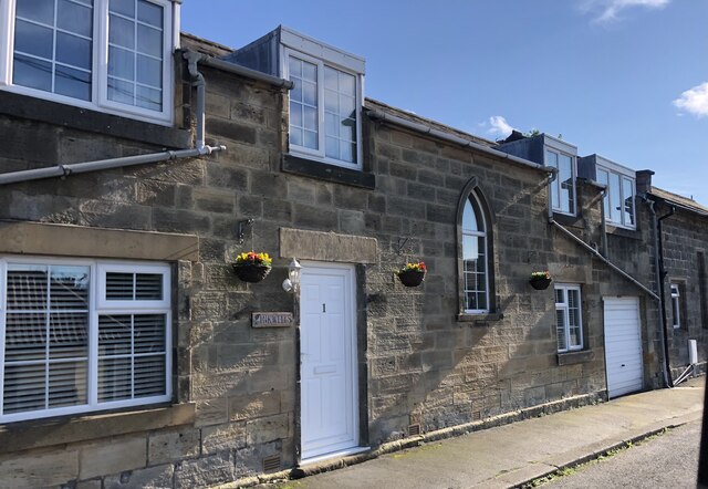
Back Wood Images
Images are sourced within 2km of 54.455639/-0.69023794 or Grid Reference NZ8507. Thanks to Geograph Open Source API. All images are credited.


Back Wood is located at Grid Ref: NZ8507 (Lat: 54.455639, Lng: -0.69023794)
Division: North Riding
Administrative County: North Yorkshire
District: Scarborough
Police Authority: North Yorkshire
What 3 Words
///urban.princely.lyricism. Near Sleights, North Yorkshire
Nearby Locations
Related Wikis

Aislaby Quarry
Aislaby Quarry is a sandstone quarry in the village of Aislaby, near to Whitby in North Yorkshire, England. The quarry produces sandstone which has been...

Aislaby, Scarborough
Aislaby ( AYZ-əl-bi) is a village and civil parish in the Scarborough district of North Yorkshire, England. It is situated near the town of Whitby on the...

Briggswath
Briggswath is a village in the Scarborough district of North Yorkshire, England. the settlement is on the north bank of the River Esk, upstream of Ruswarp...
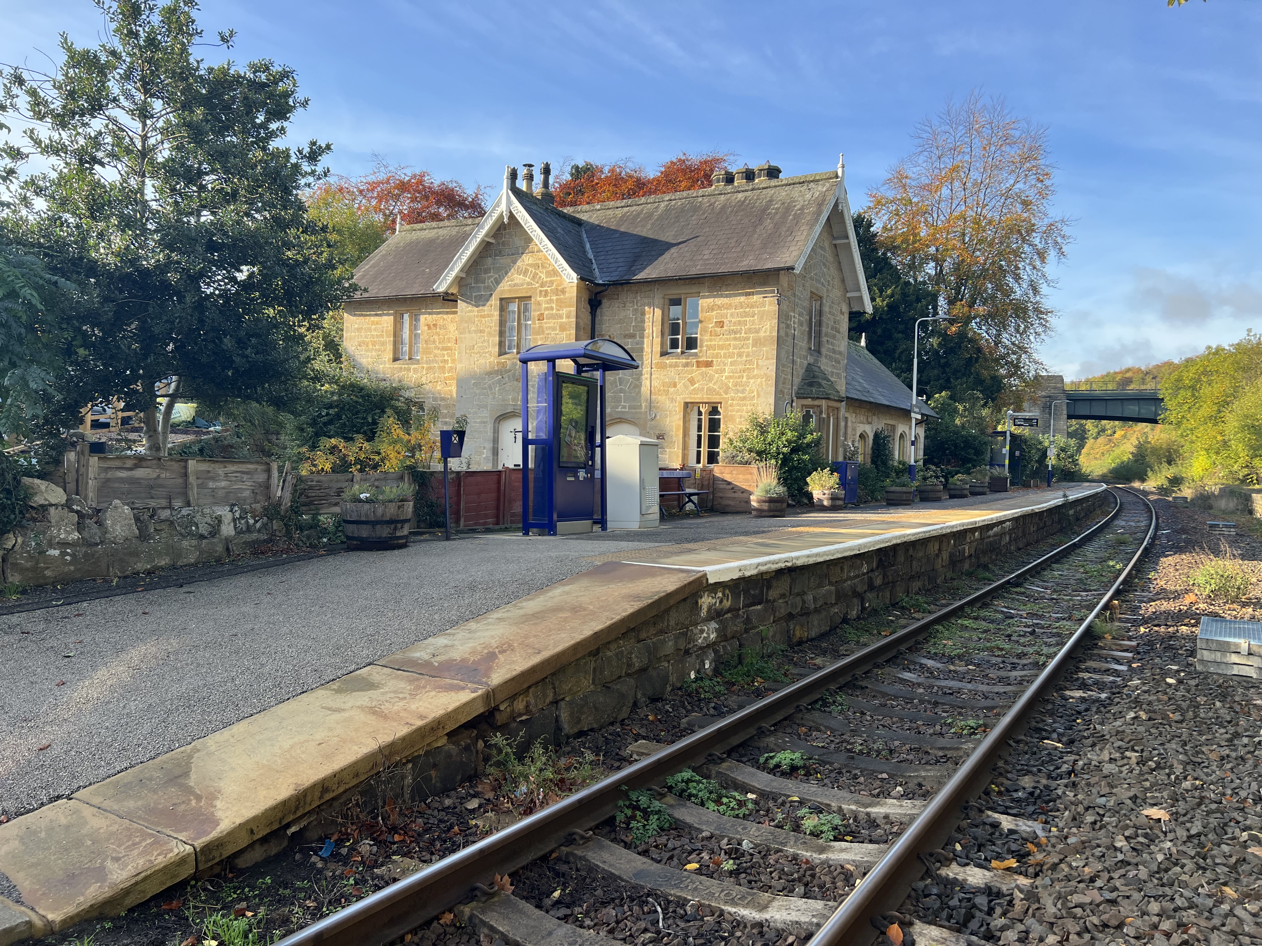
Sleights railway station
Sleights is a railway station on the Esk Valley Line, which runs between Middlesbrough and Whitby via Nunthorpe. The station, situated 2 miles 78 chains...
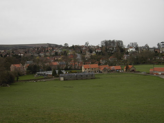
Sleights
Sleights is a village in North Yorkshire, England. Located in the Esk Valley in the postal region of Whitby, the village is part of the civil parish of...
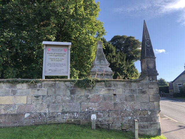
Eskdaleside cum Ugglebarnby
Eskdaleside cum Ugglebarnby is a civil parish in the Scarborough district of North Yorkshire, England, comprising the two villages of Sleights and Ugglebarnby...

Hutton Mulgrave
Hutton Mulgrave is a village and civil parish in the Scarborough district of North Yorkshire, England. According to the 2001 UK census, Hutton Mulgrave...

Grosmont, North Yorkshire
Grosmont ( GROH-mont; archaically spelt Growmond) is a village and civil parish situated in Eskdale in the North York Moors National Park, within the boundaries...
Nearby Amenities
Located within 500m of 54.455639,-0.69023794Have you been to Back Wood?
Leave your review of Back Wood below (or comments, questions and feedback).