Bell's Plantation
Wood, Forest in Lincolnshire South Kesteven
England
Bell's Plantation

Bell's Plantation is a woodland area located in Lincolnshire, England. It is situated in the eastern region of the county, near the village of Wood. The plantation is known for its picturesque landscape and rich biodiversity, making it a popular destination for nature enthusiasts.
Covering an area of approximately 100 acres, Bell's Plantation is characterized by dense forests, with a variety of tree species such as oak, beech, and birch dominating the landscape. The woodland is well-preserved and maintained, ensuring a healthy ecosystem for numerous flora and fauna.
The plantation boasts several walking trails, allowing visitors to explore its natural beauty. These trails wind through the forest, providing opportunities for birdwatching, wildlife spotting, and enjoying the peaceful ambiance of the countryside. Along the paths, visitors may encounter various woodland creatures like deer, foxes, and rabbits.
Bell's Plantation is particularly renowned for its vibrant display of bluebells during the spring season. The forest floor is carpeted with a sea of delicate blue flowers, creating a breathtaking sight. This natural phenomenon attracts many visitors who come to witness the enchanting beauty of the bluebell woods.
The woodland is managed by local authorities and conservation organizations to ensure its long-term sustainability. Efforts are made to maintain biodiversity, protect rare species, and promote environmental education. As a result, Bell's Plantation provides a sanctuary for wildlife and a tranquil escape for those seeking a connection with nature.
If you have any feedback on the listing, please let us know in the comments section below.
Bell's Plantation Images
Images are sourced within 2km of 52.976103/-0.73585392 or Grid Reference SK8442. Thanks to Geograph Open Source API. All images are credited.


Bell's Plantation is located at Grid Ref: SK8442 (Lat: 52.976103, Lng: -0.73585392)
Administrative County: Lincolnshire
District: South Kesteven
Police Authority: Lincolnshire
What 3 Words
///crucially.exacts.delight. Near Long Bennington, Lincolnshire
Nearby Locations
Related Wikis
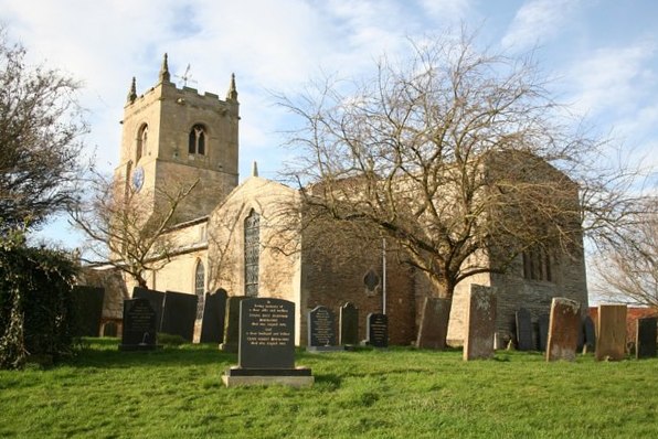
Foston, Lincolnshire
Foston is a village and a civil parish in the South Kesteven district of Lincolnshire, England. The village is situated 5 miles (8 km) northwest of Grantham...

East Midlands
The East Midlands is one of nine official regions of England at the first level of ITL for statistical purposes. It comprises the eastern half of the area...

Long Bennington Priory
Long Bennington Priory was a priory in Lincolnshire, England. The church at Long Bennington was granted by Ralf de Fougères, to the Cistercian abbey of...
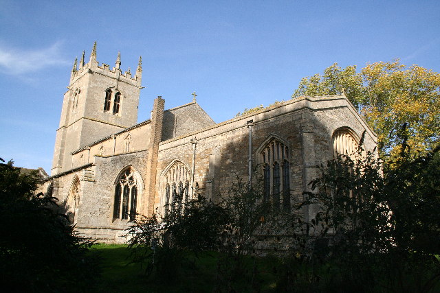
Westborough, Lincolnshire
Westborough is a village in the South Kesteven district of Lincolnshire, England. It is situated 1 mile (1.6 km) east from the A1 road and Long Bennington...
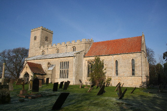
Long Bennington
Long Bennington is a linear village and civil parish in South Kesteven district of Lincolnshire, England, just off the A1 road, 7 miles (11 km) north of...

Allington, Lincolnshire
Allington is a village and civil parish in the South Kesteven district of Lincolnshire, England, 3 miles (5 km) north-west of Grantham. The 2001 census...
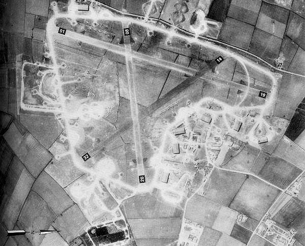
RAF Bottesford
Royal Air Force Bottesford or more simply RAF Bottesford is a former Royal Air Force station located on the Leicestershire-Lincolnshire county border,...

Debdale Meadow, Muston
Debdale Meadow, Muston is a 4.3-hectare (11-acre) biological Site of Special Scientific Interest north of Muston in Leicestershire.This traditionally managed...
Nearby Amenities
Located within 500m of 52.976103,-0.73585392Have you been to Bell's Plantation?
Leave your review of Bell's Plantation below (or comments, questions and feedback).