Keeper's Plantation

Wood, Forest in Lincolnshire South Kesteven

England

Keeper's Plantation

Holy Trinity church, Allington From the south east.
Holy Trinity church, Allington Credit: Julian P Guffogg

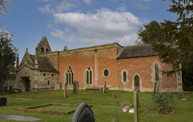
Keeper's Plantation is a picturesque woodland located in Lincolnshire, England. Covering a vast area, it is known for its rich biodiversity and stunning natural beauty. The plantation is predominantly made up of a variety of trees, including oak, beech, and birch, which create a dense and lush forest environment.

The woodland is carefully managed by experienced keepers who ensure the preservation of the plantation's unique ecosystem. This includes regular maintenance, such as selective tree cutting and replanting, to maintain a healthy and sustainable habitat for wildlife.

Keeper's Plantation is famed for its diverse wildlife, attracting nature enthusiasts and photographers alike. Numerous species of birds, including woodpeckers and owls, can be spotted among the branches, while small mammals like squirrels and rabbits scurry through the undergrowth. The plantation is also home to several deer species, which can often be seen grazing peacefully in the meadows.

Visitors to Keeper's Plantation can enjoy a range of recreational activities. There are well-maintained walking trails that wind through the forest, providing an opportunity to immerse oneself in the serene surroundings. The plantation also offers designated areas for picnicking and nature observation, allowing visitors to appreciate the beauty and tranquility of the woodland.

Overall, Keeper's Plantation is a haven for nature lovers, offering a unique blend of scenic beauty, diverse wildlife, and recreational opportunities. Its careful management ensures the preservation of this natural gem for future generations to enjoy.

If you have any feedback on the listing, please let us know in the comments section below.

Keeper's Plantation Images

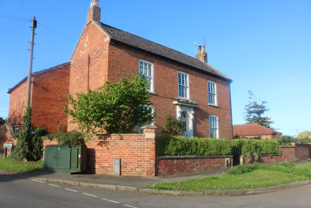
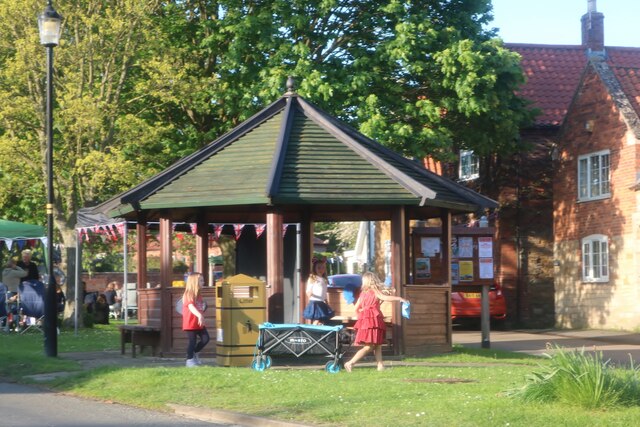
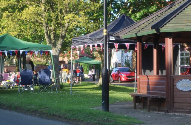
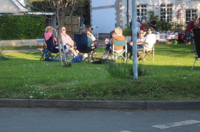
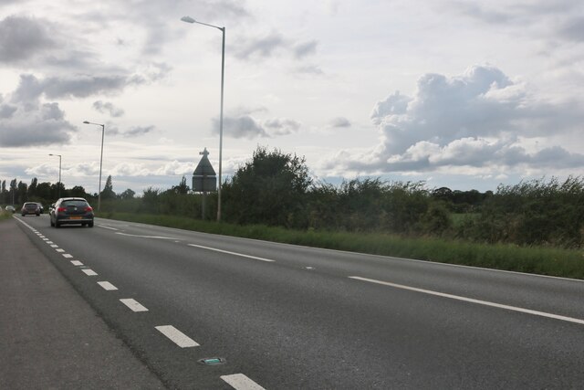
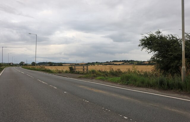
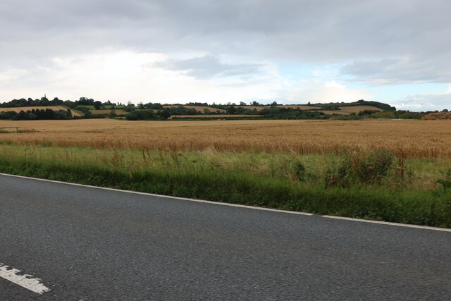
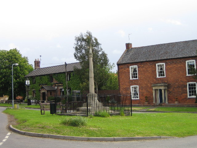
Images are sourced within 2km of 52.94215/-0.73688834 or Grid Reference SK8439. Thanks to Geograph Open Source API. All images are credited.

Holy Trinity church, Allington From the south east.
Holy Trinity church, Allington
From the south east.
South Porch, Holy Trinity church, Allington The porch is located at the west end.
South Porch, Holy Trinity church, Allington
The porch is located at the west end.
Reset Mass dial, Holy Trinity church, Allington The stone was inverted.
Reset Mass dial, Holy Trinity church, Allington
The stone was inverted.
Sign for Bottom Street, Allington Well I thought it was funny.
Sign for Bottom Street, Allington
Well I thought it was funny.
Bottom Street, Allington
House on The Green, Allington
Coronation party on The Green, Allington
The A52, Sedgebrook
The A52, Sedgebrook
Grantham Road, Sedgebrook
Layby on Grantham Road, Sedgebrook
Grantham Road at Washdike Bridge
Fields by Grantham Road, Sedgebrook
The Village Green, Allington
Holy Trinity church, West Allington, Lincs. A patchwork of medieval stone and 18th century brick, Holy Trinity has a Norman south doorway and a north arcade of c1200 and all sorts of stonework said to have come from the demolished church of East Allington. A fascinating archaeological conundrum.
Holy Trinity church, West Allington, Lincs.
A patchwork of medieval stone and 18th century brick, Holy Trinity has a Norman south doorway and a north arcade of c1200 and all sorts of stonework said to have come from the demolished church of East Allington. A fascinating archaeological conundrum.
Cowlady Lane, Allington This is a public right of way leading to the Viking Way long distance footpath. Off Bottesford Road and adjacent to the Old Vicarage.
Cowlady Lane, Allington
This is a public right of way leading to the Viking Way long distance footpath. Off Bottesford Road and adjacent to the Old Vicarage.
Miles of pylons Looking north west from Bottesford Road. The square boundary is just beyond the fourth pylon. This electricity supply line comes from Cottam Power Station in <a href="https://www.geograph.org.uk/gridref/SK8179">SK8179</a>, one of the many power stations along the River Trent ( <span class="nowrap"><a title="http://www.edfenergy.com/html/showPage.do?name=edfenergy.about.energy.cottam.til" rel="nofollow ugc noopener" href="http://www.edfenergy.com/html/showPage.do?name=edfenergy.about.energy.cottam.til">Link</a><img style="margin-left:2px;" alt="External link" title="External link - shift click to open in new window" src="https://s1.geograph.org.uk/img/external.png" width="10" height="10"/></span> for information).
Miles of pylons
Looking north west from Bottesford Road. The square boundary is just beyond the fourth pylon. This electricity supply line comes from Cottam Power Station in SK8179, one of the many power stations along the River Trent ( LinkExternal link for information).
Show me another place!

Keeper's Plantation is located at Grid Ref: SK8439 (Lat: 52.94215, Lng: -0.73688834)

Administrative County: Lincolnshire

District: South Kesteven

Police Authority: Lincolnshire

What 3 Words

///swinging.tower.envoy. Near Bottesford, Leicestershire

Nearby Locations

Keeper's Plantation

Related Wikis

Sedgebrook railway station

Sedgebrook railway station was on the Nottingham to Grantham line in the East Midlands of England. The station lay between Bottesford and Grantham. It...

Sedgebrook

Sedgebrook is an English village and civil parish in the South Kesteven district of Lincolnshire. It lies on the A52 road, 6 miles (9.7 km) west of Grantham...

Allington, Lincolnshire

Allington is a village and civil parish in the South Kesteven district of Lincolnshire, England, 3 miles (5 km) north-west of Grantham. The 2001 census...

Debdale Meadow, Muston

Debdale Meadow, Muston is a 4.3-hectare (11-acre) biological Site of Special Scientific Interest north of Muston in Leicestershire.This traditionally managed...

Nearby Amenities

Located within 500m of 52.94215,-0.73688834
Manor Farm
Place: farm
Source: Bing
Lat/Long: 52.9411007/-0.7299988
The data included in this document is from www.openstreetmap.org. The data is made available under ODbL.

Have you been to Keeper's Plantation?

Leave your review of Keeper's Plantation below (or comments, questions and feedback).