Big Wood

Wood, Forest in Leicestershire Melton

England

Big Wood

The Salt Way at Three Queens Three Queens is the name of the wood to the right of the road. It sits at the corner of the crossing of two ancient routes: the Salt Way (this road), and Sewstern Lane (crossing left to right at the start of the bend).
"The name Three Queens is said to refer to the burial barrows of three queens of the Bronze Age." <span class="nowrap"><a title="http://local-history.org.uk/waltham/pages/local-history/croxton-park-abbey/" rel="nofollow ugc noopener" href="http://local-history.org.uk/waltham/pages/local-history/croxton-park-abbey/">Link</a><img style="margin-left:2px;" alt="External link" title="External link - shift click to open in new window" src="https://s1.geograph.org.uk/img/external.png" width="10" height="10"/></span>. Several barrows have certainly been recorded here (Leicestershire historic environment record MLE3559 <span class="nowrap"><a title="https://www.heritagegateway.org.uk/Gateway/Results_Single.aspx?uid=MLE3559&resourceID=1021" rel="nofollow ugc noopener" href="https://www.heritagegateway.org.uk/Gateway/Results_Single.aspx?uid=MLE3559&resourceID=1021">Link</a><img style="margin-left:2px;" alt="External link" title="External link - shift click to open in new window" src="https://s1.geograph.org.uk/img/external.png" width="10" height="10"/></span> ), one containing the skeleton of a woman.
<span class="nowrap"><a title="https://www.bottesfordhistory.org.uk/content/about/read-it-hear-not-forgetting/not-forgetting-chapter-9-getting-about-in-the-past" rel="nofollow ugc noopener" href="https://www.bottesfordhistory.org.uk/content/about/read-it-hear-not-forgetting/not-forgetting-chapter-9-getting-about-in-the-past">Link</a><img style="margin-left:2px;" alt="External link" title="External link - shift click to open in new window" src="https://s1.geograph.org.uk/img/external.png" width="10" height="10"/></span> states "Here stood an 18th Century hostelry “of ill repute”, The Three Queens, frequented by cattle drovers and perhaps footpads. The inn eventually closed when the ancient trackways were replaced by newer roads, and there is nothing at the site now except a muddy track crossing a minor road."
The Salt Way at Three Queens Credit: Tim Heaton

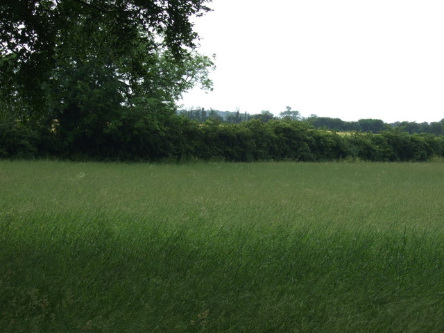
Big Wood is a prominent forest located in Leicestershire, England. It covers a vast area, spanning over several hundred acres and is known for its rich biodiversity and natural beauty. The wood is situated near the village of Wood, and hence it is commonly referred to as Big Wood, Leicestershire.

The forest features a diverse range of tree species, including oak, beech, ash, and birch. These towering trees create a dense canopy, providing shelter and habitat for numerous wildlife species. Big Wood is home to a variety of animals such as deer, foxes, badgers, and a wide array of bird species, making it a popular spot for nature enthusiasts and wildlife photographers.

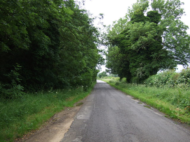
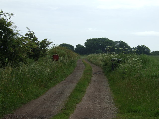
The wood offers an ideal setting for recreational activities such as walking, hiking, and picnicking. Numerous well-defined trails and pathways meander through the forest, allowing visitors to explore its various nooks and crannies. The tranquil atmosphere and serene surroundings attract both locals and tourists, providing an escape from the hustle and bustle of daily life.

Big Wood is not only a natural haven but also plays a crucial role in the local ecosystem. It acts as a carbon sink, absorbing carbon dioxide and contributing to the reduction of greenhouse gases. Additionally, the forest helps in preventing soil erosion, regulating water flow, and maintaining the overall ecological balance.

Overall, Big Wood in Leicestershire is a cherished natural treasure, offering a tranquil retreat for nature lovers and serving as a vital habitat for a wide range of plant and animal species.

If you have any feedback on the listing, please let us know in the comments section below.
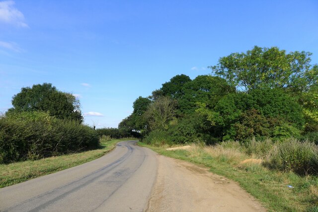
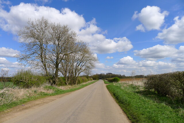
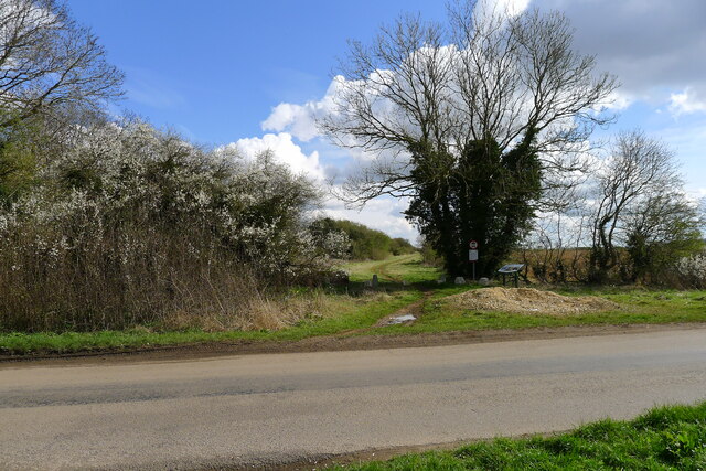
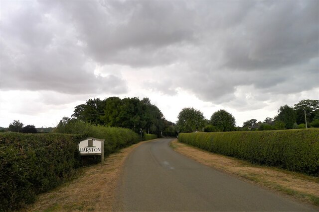
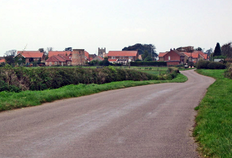
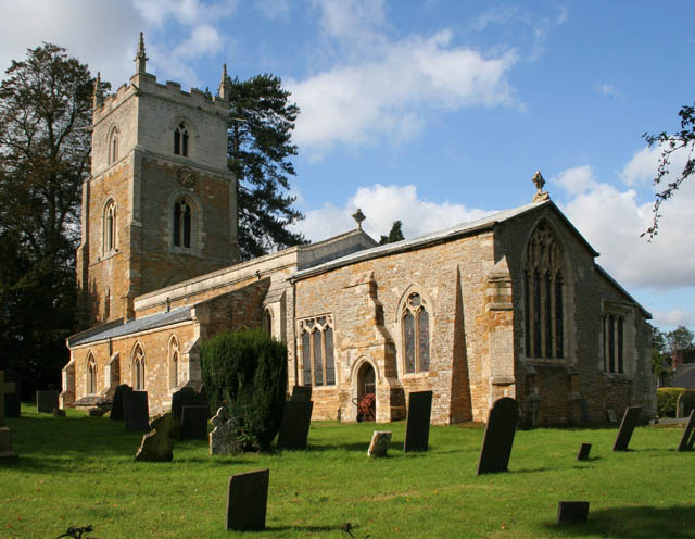
Big Wood Images

Images are sourced within 2km of 52.87166/-0.74019969 or Grid Reference SK8431. Thanks to Geograph Open Source API. All images are credited.

The Salt Way at Three Queens Three Queens is the name of the wood to the right of the road. It sits at the corner of the crossing of two ancient routes: the Salt Way (this road), and Sewstern Lane (crossing left to right at the start of the bend).
"The name Three Queens is said to refer to the burial barrows of three queens of the Bronze Age." <span class="nowrap"><a title="http://local-history.org.uk/waltham/pages/local-history/croxton-park-abbey/" rel="nofollow ugc noopener" href="http://local-history.org.uk/waltham/pages/local-history/croxton-park-abbey/">Link</a><img style="margin-left:2px;" alt="External link" title="External link - shift click to open in new window" src="https://s1.geograph.org.uk/img/external.png" width="10" height="10"/></span>. Several barrows have certainly been recorded here (Leicestershire historic environment record MLE3559 <span class="nowrap"><a title="https://www.heritagegateway.org.uk/Gateway/Results_Single.aspx?uid=MLE3559&resourceID=1021" rel="nofollow ugc noopener" href="https://www.heritagegateway.org.uk/Gateway/Results_Single.aspx?uid=MLE3559&resourceID=1021">Link</a><img style="margin-left:2px;" alt="External link" title="External link - shift click to open in new window" src="https://s1.geograph.org.uk/img/external.png" width="10" height="10"/></span> ), one containing the skeleton of a woman.
<span class="nowrap"><a title="https://www.bottesfordhistory.org.uk/content/about/read-it-hear-not-forgetting/not-forgetting-chapter-9-getting-about-in-the-past" rel="nofollow ugc noopener" href="https://www.bottesfordhistory.org.uk/content/about/read-it-hear-not-forgetting/not-forgetting-chapter-9-getting-about-in-the-past">Link</a><img style="margin-left:2px;" alt="External link" title="External link - shift click to open in new window" src="https://s1.geograph.org.uk/img/external.png" width="10" height="10"/></span> states "Here stood an 18th Century hostelry “of ill repute”, The Three Queens, frequented by cattle drovers and perhaps footpads. The inn eventually closed when the ancient trackways were replaced by newer roads, and there is nothing at the site now except a muddy track crossing a minor road."
The Salt Way at Three Queens
Three Queens is the name of the wood to the right of the road. It sits at the corner of the crossing of two ancient routes: the Salt Way (this road), and Sewstern Lane (crossing left to right at the start of the bend). "The name Three Queens is said to refer to the burial barrows of three queens of the Bronze Age." LinkExternal link. Several barrows have certainly been recorded here (Leicestershire historic environment record MLE3559 LinkExternal link ), one containing the skeleton of a woman. LinkExternal link states "Here stood an 18th Century hostelry “of ill repute”, The Three Queens, frequented by cattle drovers and perhaps footpads. The inn eventually closed when the ancient trackways were replaced by newer roads, and there is nothing at the site now except a muddy track crossing a minor road."
Gorse Lane east of Croxton Kerrial Part of the Salt Way, and a former Roman road along the top of the Lincolnshire Limestone ridge south of Grantham.
The name 'Gorse Lane' seems to be applied by local residents and businesses to the whole stretch of this road, from its junctions with the A607 in the west to the B1174 in the east. On OS and Google maps the name only appears on the eastern-most section of the road.
Gorse Lane east of Croxton Kerrial
Part of the Salt Way, and a former Roman road along the top of the Lincolnshire Limestone ridge south of Grantham. The name 'Gorse Lane' seems to be applied by local residents and businesses to the whole stretch of this road, from its junctions with the A607 in the west to the B1174 in the east. On OS and Google maps the name only appears on the eastern-most section of the road.
Sewstern Lane crossing the Salt Way at Three Queens Three Queens is the name of the wood on the left. It sits at the corner of the crossing of two ancient routes: Sewstern Lane (crossing straight ahead) and the Salt Way (road). The area around the wood contains several Bronze Age burial mounds (barrows); and the name 'Three Queens' may derive from these - because when one of the mounds was excavated, it was found to contain the skeleton of a woman. <span class="nowrap"><a title="https://heritage-explorer.lincolnshire.gov.uk/Monument/MLI33941" rel="nofollow ugc noopener" href="https://heritage-explorer.lincolnshire.gov.uk/Monument/MLI33941">Link</a><img style="margin-left:2px;" alt="External link" title="External link - shift click to open in new window" src="https://s1.geograph.org.uk/img/external.png" width="10" height="10"/></span>
<span class="nowrap"><a title="https://www.bottesfordhistory.org.uk/content/about/read-it-hear-not-forgetting/not-forgetting-chapter-9-getting-about-in-the-past" rel="nofollow ugc noopener" href="https://www.bottesfordhistory.org.uk/content/about/read-it-hear-not-forgetting/not-forgetting-chapter-9-getting-about-in-the-past">Link</a><img style="margin-left:2px;" alt="External link" title="External link - shift click to open in new window" src="https://s1.geograph.org.uk/img/external.png" width="10" height="10"/></span> states "Here stood an 18th Century hostelry "of ill repute", The Three Queens, frequented by cattle drovers and perhaps footpads. The inn eventually closed when the ancient trackways were replaced by newer roads, and there is nothing at the site now except a muddy track crossing a minor road."
Sewstern Lane crossing the Salt Way at Three Queens
Three Queens is the name of the wood on the left. It sits at the corner of the crossing of two ancient routes: Sewstern Lane (crossing straight ahead) and the Salt Way (road). The area around the wood contains several Bronze Age burial mounds (barrows); and the name 'Three Queens' may derive from these - because when one of the mounds was excavated, it was found to contain the skeleton of a woman. LinkExternal link LinkExternal link states "Here stood an 18th Century hostelry "of ill repute", The Three Queens, frequented by cattle drovers and perhaps footpads. The inn eventually closed when the ancient trackways were replaced by newer roads, and there is nothing at the site now except a muddy track crossing a minor road."
Track up the side of Croxton Banks wood The 'bank' is the face of the escarpment of Jurassic limestones and ironstones on which Croxton Kerrial sits
Track up the side of Croxton Banks wood
The 'bank' is the face of the escarpment of Jurassic limestones and ironstones on which Croxton Kerrial sits
Footpath to Croxton Kerrial The path crosses the wheat field, passes through the edge of Harston Wood, and then onto the top of the escarpment
Footpath to Croxton Kerrial
The path crosses the wheat field, passes through the edge of Harston Wood, and then onto the top of the escarpment
Footpath to Croxton Kerrial leaving the south side of Harston The grass now brown after England's driest July in over a hundred years.
Footpath to Croxton Kerrial leaving the south side of Harston
The grass now brown after England's driest July in over a hundred years.
Woolsthorpe Lane entering Harston
Church of St Michael and All Angels, Harston Original 14th century tower is retained, but the rest of the church was rebuilt in the late 19th century.
Church of St Michael and All Angels, Harston
Original 14th century tower is retained, but the rest of the church was rebuilt in the late 19th century.
Knipton Lane climbing up to Harston
Grassland and Rowland's Hill Plantation
Grassland below Rowland's Hill, Denton
Stile by the A607 Close to the road but inaccessible from it.
Stile by the A607
Close to the road but inaccessible from it.
Dried-up pond near Denton
Farmland near Croxton Kerrial Hedgeline and wheat crop near Croxton Kerrial
Farmland near Croxton Kerrial
Hedgeline and wheat crop near Croxton Kerrial
Farmland near Croxton Kerrial
Farmland near Three Queens
Lane towards Croxton Kerrial
Track towards Tipping's Lodge
Show me another place!

Big Wood is located at Grid Ref: SK8431 (Lat: 52.87166, Lng: -0.74019969)

Administrative County: Leicestershire

District: Melton

Police Authority: Leicestershire

What 3 Words

///unrealistic.shunning.bracing. Near Barrowby, Lincolnshire

Nearby Locations

Big Wood Harston

Related Wikis

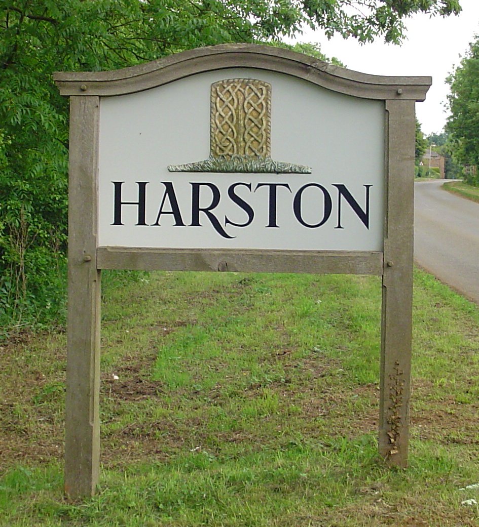
Harston, Leicestershire

Harston is a crossroads village and former civil parish, now in the parish of Belvoir, in the Melton district, in Leicestershire, England, near the border...

Croxton Kerrial

Croxton Kerrial (pronounced [ˈkroʊsən ˈkɛrɨl]) is a village and civil parish in the Melton borough of Leicestershire, England, 6.6 miles (10.6 km) south...

Denton, Lincolnshire

Denton is a village and civil parish in the South Kesteven district of Lincolnshire, England. The population of the civil parish was 273 at the 2011 census...

Knipton

Knipton is a village and former civil parish, now in the parish of Belvoir, in the Melton district, in the county of Leicestershire, England. It lies about...

Nearby Amenities

Located within 500m of 52.87166,-0.74019969
Ele: 142.4000244
Lat/Long: 52.8712869/-0.7361878
Ele: 128.2205811
Lat/Long: 52.8726403/-0.7357694
Ele: 95.0554199
Lat/Long: 52.8746866/-0.7370569
Ele: 143.1209717
Lat/Long: 52.8689481/-0.7348372
The data included in this document is from www.openstreetmap.org. The data is made available under ODbL.

Have you been to Big Wood?

Leave your review of Big Wood below (or comments, questions and feedback).