Burtleys Copse

Wood, Forest in Surrey Waverley

England

Burtleys Copse

House on Frensham Road, Bourne
House on Frensham Road, Bourne Credit: David Howard

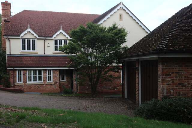
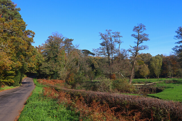
Burtleys Copse is a picturesque woodland located in Surrey, England. Situated in the southern part of the county, near the village of Shere, this tranquil forest covers an area of approximately 50 acres. It is known for its dense tree cover, diverse wildlife, and stunning natural beauty.

The copse is predominantly composed of broadleaf trees, including oak, beech, and ash, which create a vibrant canopy overhead. The forest floor is carpeted with ferns, bluebells, and other wildflowers, adding to its enchanting charm. Burtleys Copse is also home to several small streams and ponds, which provide a habitat for various aquatic species.

The woodland is a haven for wildlife enthusiasts and nature lovers. It is a designated Site of Special Scientific Interest (SSSI) due to its rich biodiversity and rare plant species. Visitors may spot a wide range of animals, including deer, foxes, badgers, and numerous bird species such as woodpeckers, owls, and thrushes.

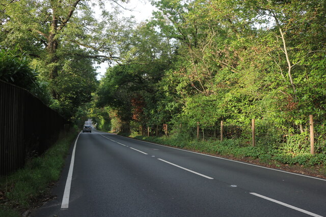
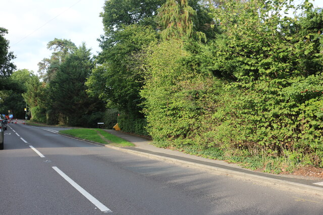
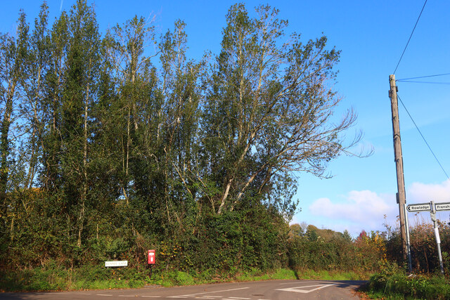
Burtleys Copse offers a peaceful retreat for those seeking a break from the hustle and bustle of everyday life. The forest is crisscrossed by a network of footpaths and trails, allowing visitors to explore its hidden corners and discover its hidden gems. It is a popular spot for walking, jogging, and birdwatching, with plenty of benches and picnic areas scattered throughout the woodland.

Overall, Burtleys Copse is a natural gem in the heart of Surrey, offering a serene and idyllic setting for visitors to immerse themselves in the wonders of nature.

If you have any feedback on the listing, please let us know in the comments section below.

Burtleys Copse Images

Images are sourced within 2km of 51.178156/-0.78737177 or Grid Reference SU8442. Thanks to Geograph Open Source API. All images are credited.

House on Frensham Road, Bourne
Gong Hill north of Millbridge At the entrance to Edgeborough School
Gong Hill north of Millbridge
At the entrance to Edgeborough School
Gong Hill north of Millbridge
Frensham Road, Millbridge
View towards Gong Hill, Millbridge
Gong Hill entering Farnham
Temporary lights on Frensham Road, Bourne
Rural Life Living Museum near Farnham This is Henry's Yard with the Old Kiln Forge on the right. The steam roller is an Aveling and Porter built in 1926 as works No. 11454 with a single piston valve cylinder. It weighs 8 tons and was visiting for a special event.
Rural Life Living Museum near Farnham
This is Henry's Yard with the Old Kiln Forge on the right. The steam roller is an Aveling and Porter built in 1926 as works No. 11454 with a single piston valve cylinder. It weighs 8 tons and was visiting for a special event.
Old Kiln Light Railway This is based in the Rural life Living Museum near Farnham. Planet locomotive No. 2528 was at this end with an Orenstein and Koppel 0-6-0T locomotive at the opposite end. It was a very hot and sunny day and photography was trying in a heavily wooded museum.
Old Kiln Light Railway
This is based in the Rural life Living Museum near Farnham. Planet locomotive No. 2528 was at this end with an Orenstein and Koppel 0-6-0T locomotive at the opposite end. It was a very hot and sunny day and photography was trying in a heavily wooded museum.
Rural Life Living Museum near Farnham - stationary steam engine This trailer mounted engine and boiler ensemble were visiting for a special working steam event. The engine is an inverted vertical single cylinder by Ransomes, Sims and Jefferies of Ipswich, No. 7572 of 1889. It is of 4 nominal horsepower with a slide valve cylinder 6" x 9". It was used in the Welwyn Garden City area for market garden irrigation and is now privately owned. This was a delightful unexpected discovery.
Rural Life Living Museum near Farnham - stationary steam engine
This trailer mounted engine and boiler ensemble were visiting for a special working steam event. The engine is an inverted vertical single cylinder by Ransomes, Sims and Jefferies of Ipswich, No. 7572 of 1889. It is of 4 nominal horsepower with a slide valve cylinder 6" x 9". It was used in the Welwyn Garden City area for market garden irrigation and is now privately owned. This was a delightful unexpected discovery.
A287 Frensham Main road through Frensham.
A287 Frensham
Main road through Frensham.
Kennel Lane Road junction near Millbridge.
Kennel Lane
Road junction near Millbridge.
Shortfield Common Road River running alongside the road.
Shortfield Common Road
River running alongside the road.
Frensham Common in sunshine
Pools of water on Frensham Common
Path down to Frensham Little Pond
Frensham Little Pond The pond looking autumnal with sunshine highlighting trees on the far shore.
Frensham Little Pond
The pond looking autumnal with sunshine highlighting trees on the far shore.
Frensham Common Along the A287, the war memorial is across the road
Frensham Common
Along the A287, the war memorial is across the road
Show me another place!

Burtleys Copse is located at Grid Ref: SU8442 (Lat: 51.178156, Lng: -0.78737177)

Administrative County: Surrey

District: Waverley

Police Authority: Surrey

What 3 Words

///pylons.opposites.allergy. Near Farnham, Surrey

Related Wikis

Gong Hill

Gong Hill is a 5.9-hectare (15-acre) biological Site of Special Scientific Interest south of Farnham in Surrey.This heathland site is dominated by ling...

Edgeborough School

Edgeborough School is a prep school near Farnham, Surrey in England. It is currently attended by ~360 kids between 2 and 13. The Head is Daniel Cox, former...

Old Kiln Light Railway

The Old Kiln Light Railway is a 2 ft (610 mm) narrow gauge railway at the Rural Life Living Museum in Tilford, near Farnham, Surrey. It has a collection...

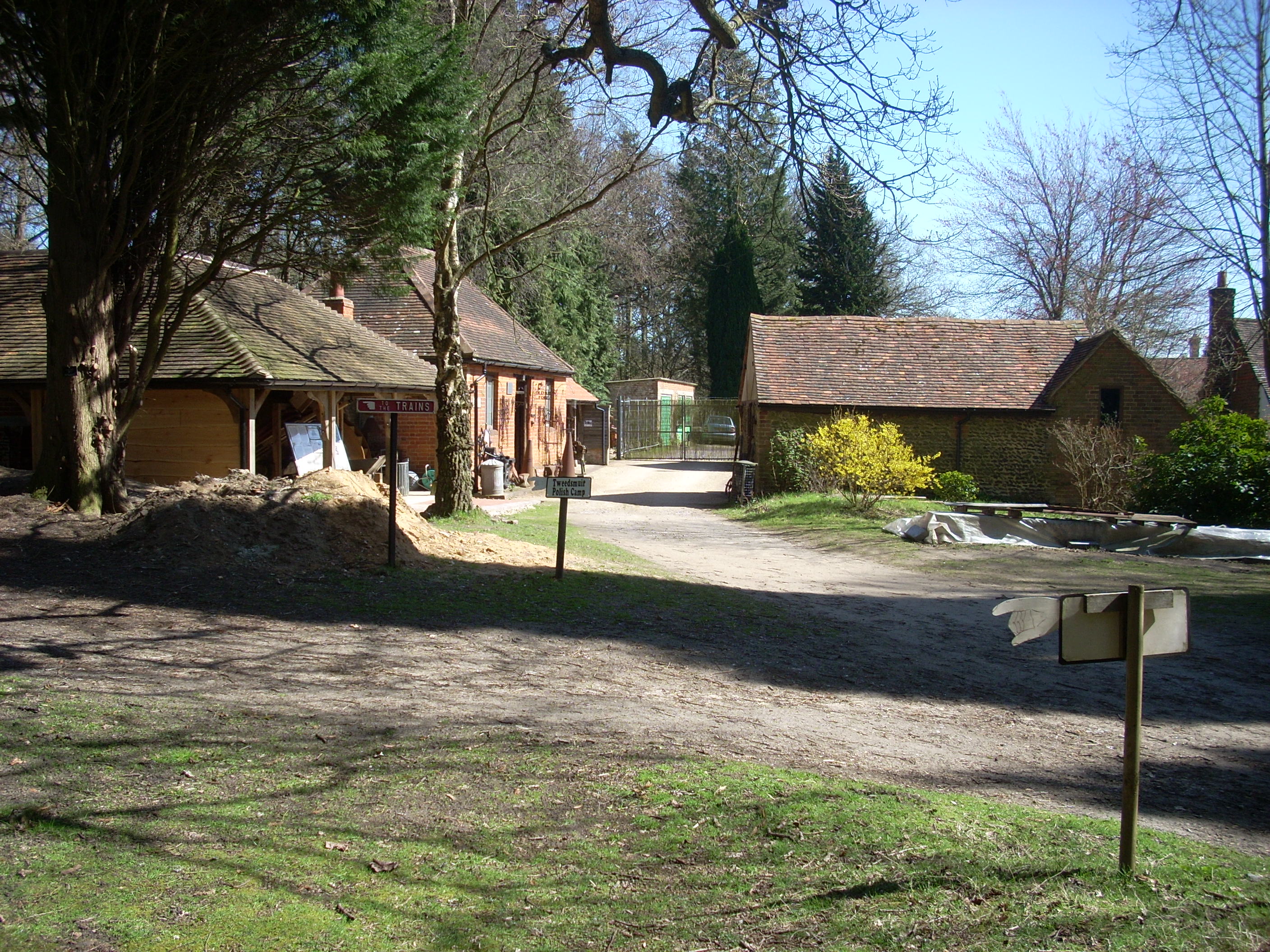
Rural Life Living Museum, Tilford

The Rural Life Living Museum is in Tilford, Surrey near Farnham in southern England. Formerly known as the Old Kiln Agricultural Museum and the Rural Life...
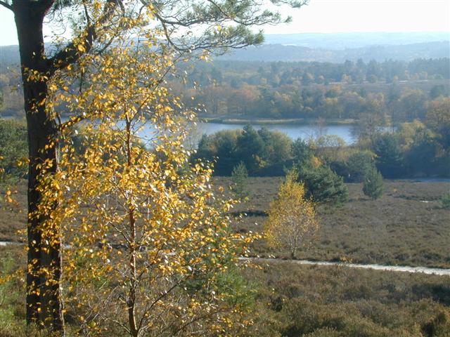
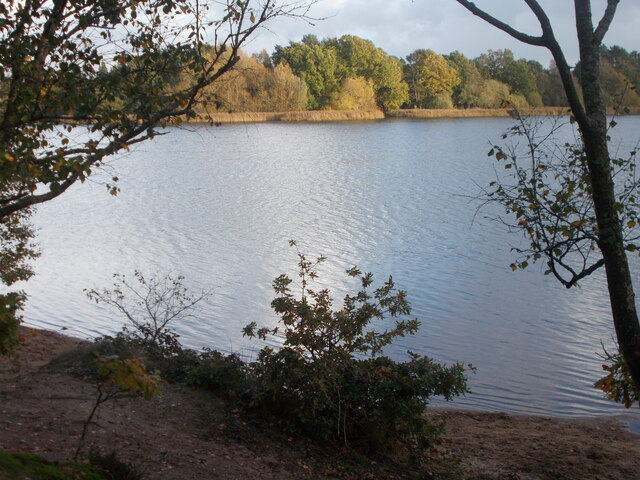
Frensham Common

Frensham Common is a large Site of Special Scientific Interest (SSSI) heathland of 373 hectares (922 acres) which includes two lakes; it is owned and...

Bourne Wood

Bourne Wood (also known as Bourne Woods) is an area of predominantly coniferous woodland just south of Farnham, Surrey, England and a film location, under...

Frensham Heights School

Frensham Heights School is an independent school and sixth form college located near Farnham, Surrey, England, run by the registered charity, Frensham...

Frensham

Frensham is a village in Surrey, England, next to the A287 road, 13 miles (20.9 km) WSW of Guildford, the county town. Frensham lies on the right bank...

Nearby Amenities

Located within 500m of 51.178156,-0.78737177
Millbridge
Place: hamlet
Source: npe
Lat/Long: 51.1751691/-0.7878692
Bus Stop
Kennel Lane
Naptan AtcoCode: 40004411329B
Naptan Bearing: S
Naptan CommonName: Kennel Lane
Naptan Indicator: Opp
Naptan Landmark: Kennel Lane
Naptan NaptanCode: surdwmdw
Naptan Street: Frensham Road
Naptan Verified: no
Source: naptan_import
Lat/Long: 51.1799922/-0.7911597
Bus Stop
Post Office
Naptan AtcoCode: 40004411450A
Naptan Bearing: S
Naptan CommonName: Post Office
Naptan Indicator: Just after
Naptan Landmark: Post Office
Naptan NaptanCode: surgjmwd
Naptan Street: Frensham Road
Naptan Verified: no
Source: naptan_import
Lat/Long: 51.1737492/-0.7883475
Bus Stop
Fifield Lane
Naptan AtcoCode: 40004411559A
Naptan Bearing: NW
Naptan BusStopType: CUS
Naptan CommonName: Fifield Lane
Naptan Indicator: NW-bound
Naptan Landmark: Fifield Lane
Naptan NaptanCode: surgtgad
Naptan Street: Fifield Lane
Naptan Verified: no
Source: naptan_import
Lat/Long: 51.1765198/-0.7910359
Bus Stop
Fifield Lane
Naptan AtcoCode: 40004411559B
Naptan Bearing: SE
Naptan BusStopType: CUS
Naptan CommonName: Fifield Lane
Naptan Indicator: SE-bound
Naptan Landmark: Fifield Lane
Naptan NaptanCode: surgtgag
Naptan Street: Fifield Lane
Naptan Verified: no
Source: naptan_import
Lat/Long: 51.1767458/-0.7911588
Bus Stop
Kennel Lane
Naptan AtcoCode: 40004411974A
Naptan Bearing: N
Naptan CommonName: Kennel Lane
Naptan Indicator: adj
Naptan Landmark: Kennel Lane
Naptan NaptanCode: surgmtgw
Naptan Street: Frensham Road
Naptan Verified: no
Source: naptan_import
Lat/Long: 51.1798413/-0.7913497
Give Way
Lat/Long: 51.1777926/-0.7810792
Give Way
Lat/Long: 51.1776298/-0.7812559
Give Way
Lat/Long: 51.1744903/-0.7871225
Post Box
Post Box Type: wall
Ref: GU10 24D
Royal Cypher: GR
Royal Cypher Wikidata: Q33102273
Lat/Long: 51.1738653/-0.7882392
Give Way
Source: Bing
Lat/Long: 51.1737698/-0.7885084
The data included in this document is from www.openstreetmap.org. The data is made available under ODbL.

Have you been to Burtleys Copse?

Leave your review of Burtleys Copse below (or comments, questions and feedback).