New Coppice

Wood, Forest in Northamptonshire

England

New Coppice

West end of Main Street, Middleton
West end of Main Street, Middleton Credit: Tim Heaton

The requested URL returned error: 429 Too Many Requests

If you have any feedback on the listing, please let us know in the comments section below.
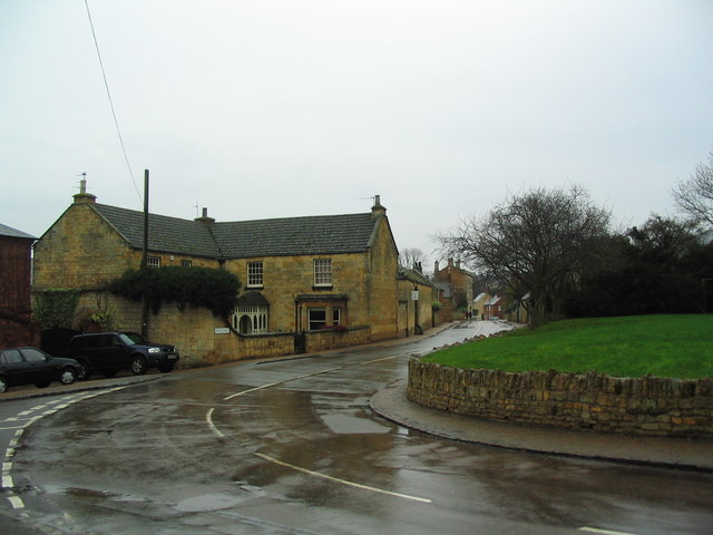
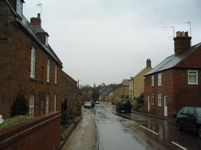
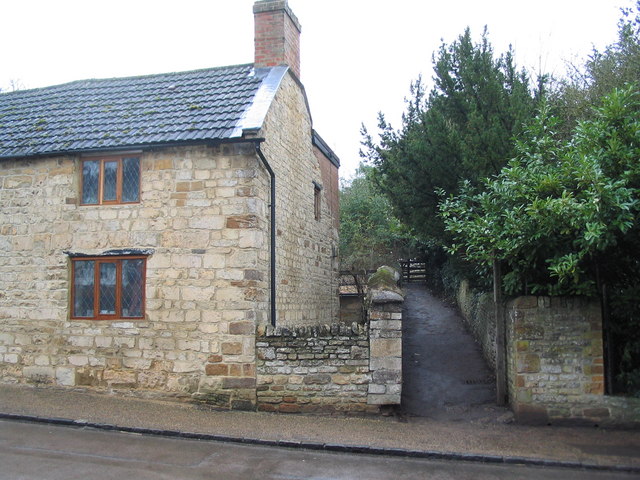
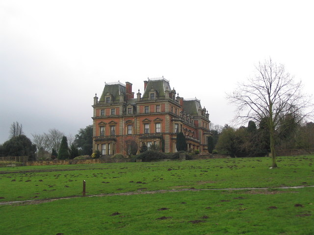
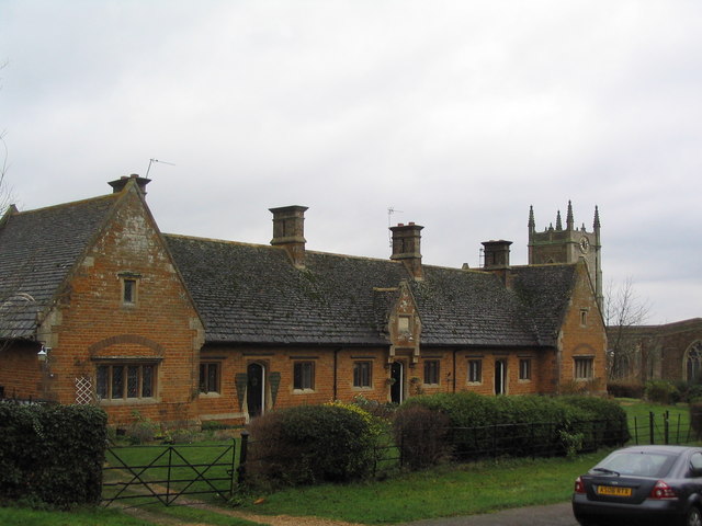
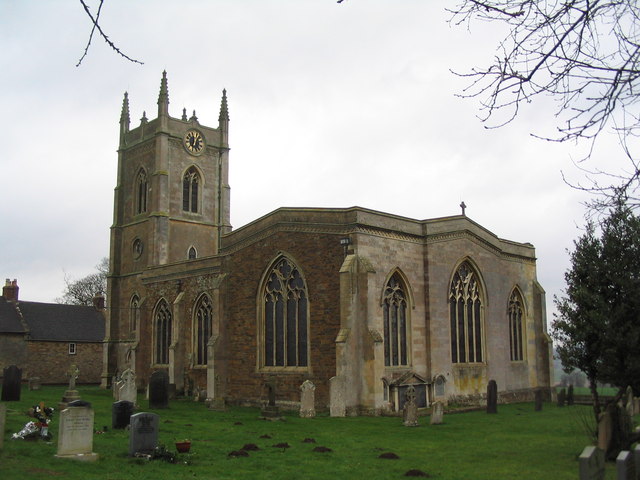
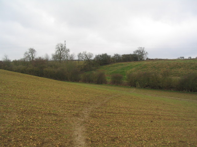
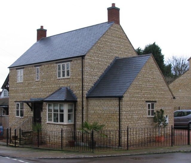
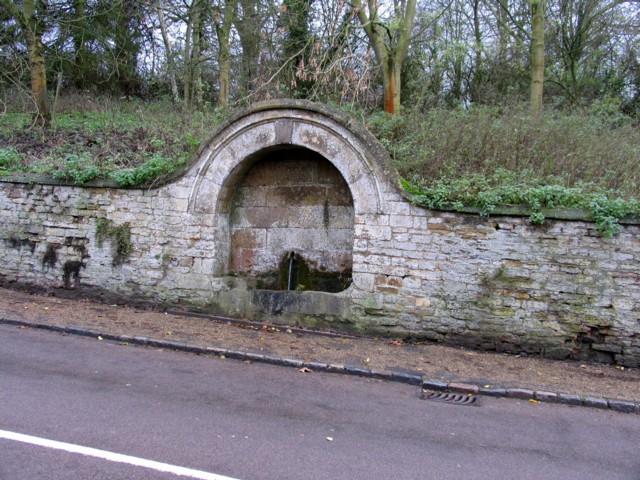
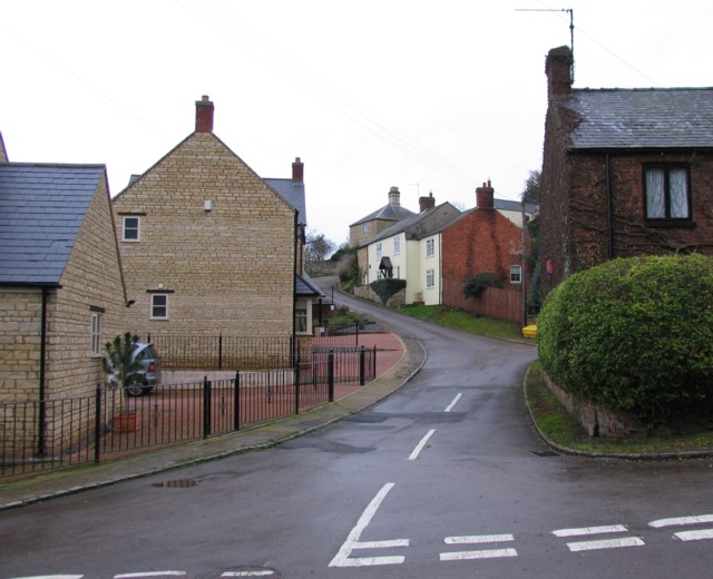
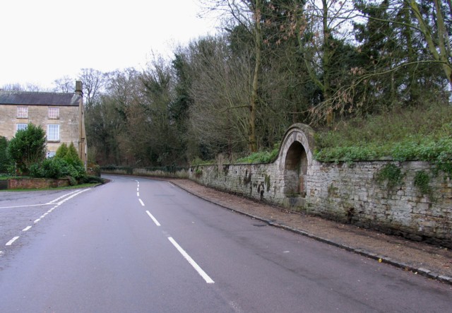
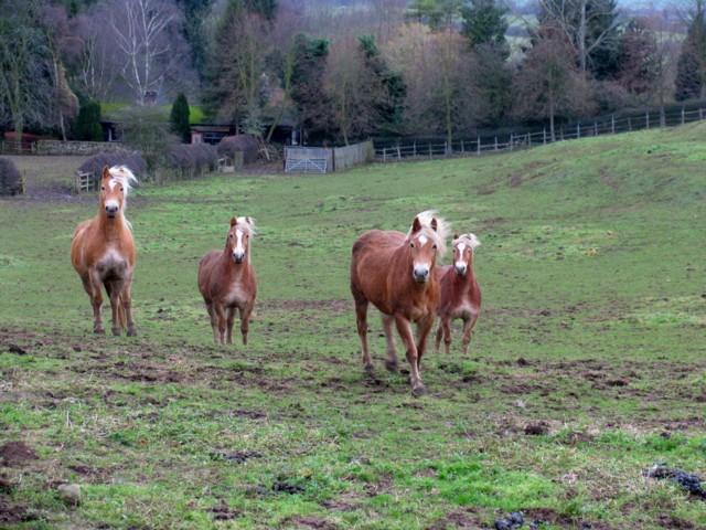
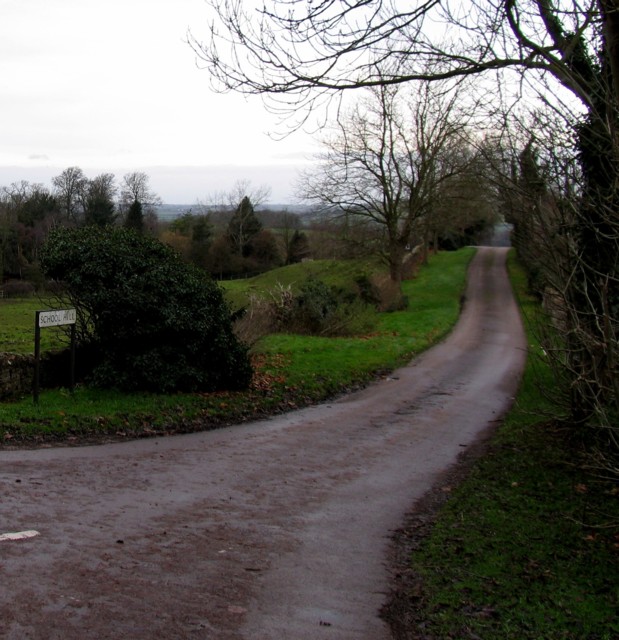
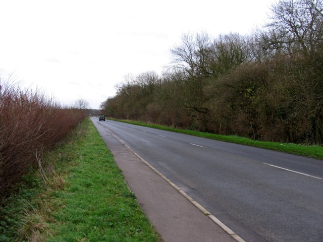
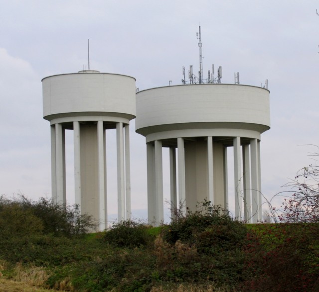
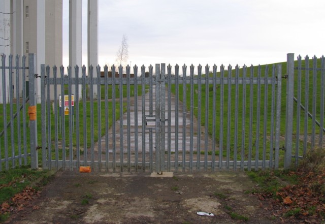
New Coppice Images

Images are sourced within 2km of 52.495948/-0.7562374 or Grid Reference SP8489. Thanks to Geograph Open Source API. All images are credited.

West end of Main Street, Middleton
Main Street, Middleton
Church of St Mary Magdalene, 'Cottingham cum Middleton' Occupying a prominent, elevated position at the end of Church Street, Cottingham
Church of St Mary Magdalene, 'Cottingham cum Middleton'
Occupying a prominent, elevated position at the end of Church Street, Cottingham
The Jurassic Way heading west from Middleton
East Carlton Hall In the grounds of the East Carlton Countryside Park. Built in 1863. Not open to the public
East Carlton Hall
In the grounds of the East Carlton Countryside Park. Built in 1863. Not open to the public
'Hospital of the Blessed Jesus in Carlton' Founded by Sir Geoffrey Palmer in 1668. Church of St Peter to the right
'Hospital of the Blessed Jesus in Carlton'
Founded by Sir Geoffrey Palmer in 1668. Church of St Peter to the right
Church of St Peter, East Carlton For information, see <span class="nowrap"><a title="http://www.fylde.demon.co.uk/TV/eastcarlton.htm" rel="nofollow ugc noopener" href="http://www.fylde.demon.co.uk/TV/eastcarlton.htm">Link</a><img style="margin-left:2px;" alt="External link" title="External link - shift click to open in new window" src="https://s1.geograph.org.uk/img/external.png" width="10" height="10"/></span>
Church of St Peter, East Carlton
For information, see LinkExternal link
Jurassic Way south west to Wilbarston The line of trees running left-right along the foot of the valley marks the course of a spring-fed stream. It was dry - presumably testament to below-average rainfall.
Jurassic Way south west to Wilbarston
The line of trees running left-right along the foot of the valley marks the course of a spring-fed stream. It was dry - presumably testament to below-average rainfall.
A house on The Hill in Middleton
A trough on The Hill The trough is fed by one of the springs that abound in the area
A trough on The Hill
The trough is fed by one of the springs that abound in the area
School Hill Middleton
The Hill at Middleton Notice <a href="https://www.geograph.org.uk/photo/310834">SP8389 : A trough on The Hill</a> on the right.
The Hill at Middleton
Notice SP8389 : A trough on The Hill on the right.
Horses by The Hill
Horses by The Hill
School Hill, Middleton, from the top
Entrance to Blackthorn Wood Golf Club
Corby Road This road follows the course of the Via Devana a Roman Road that linked Chester and Colchester.
Corby Road
This road follows the course of the Via Devana a Roman Road that linked Chester and Colchester.
Water Towers at Corby
Waterworks entrance
Waterworks entrance
Show me another place!

New Coppice is located at Grid Ref: SP8489 (Lat: 52.495948, Lng: -0.7562374)

Unitary Authority: North Northamptonshire

Police Authority: Northamptonshire

What 3 Words

///glorified.rectangular.stars. Near Cottingham, Northamptonshire

Nearby Locations

New Coppice

Related Wikis

Middleton, Northamptonshire

Middleton is a village and civil parish in North Northamptonshire close to the county boundary with Leicestershire. At the time of the 2001 census, the...

Cottingham, Northamptonshire

Cottingham is a village and civil parish in North Northamptonshire in the English Midlands that can trace its history back to Roman times. Cotingeham is...

East Carlton

East Carlton is a village and civil parish in the county of Northamptonshire, on the southern ridge overlooking the Welland valley to the north and covers...

Lodge Park Academy

Lodge Park Academy is a coeducational secondary school and sixth form with academy status, located in Corby, Northamptonshire, England. == Background... ==

Nearby Amenities

Located within 500m of 52.495948,-0.7562374
Power: tower
Source: Bing
Lat/Long: 52.4947095/-0.7586149
Power: tower
Source: Bing
Lat/Long: 52.4940759/-0.76134
Power: tower
Source: Bing
Lat/Long: 52.4954541/-0.7508257
Power: tower
Source: Bing
Lat/Long: 52.495539/-0.7549671
Barrier: kissing_gate
Lat/Long: 52.5002559/-0.7568201
The data included in this document is from www.openstreetmap.org. The data is made available under ODbL.

Have you been to New Coppice?

Leave your review of New Coppice below (or comments, questions and feedback).