Fishpond Plantation

Wood, Forest in Yorkshire Ryedale

England

Fishpond Plantation

Country  road  junction  high  on  the  Yorkshire  Wolds Left for Wharram le Street, right for Birdsall
Country road junction high on the Yorkshire Wolds Credit: Martin Dawes

Fishpond Plantation is a picturesque woodland located in the heart of Yorkshire, England. Spanning over several acres, this enchanting forest offers a serene and tranquil escape for nature lovers and outdoor enthusiasts alike.

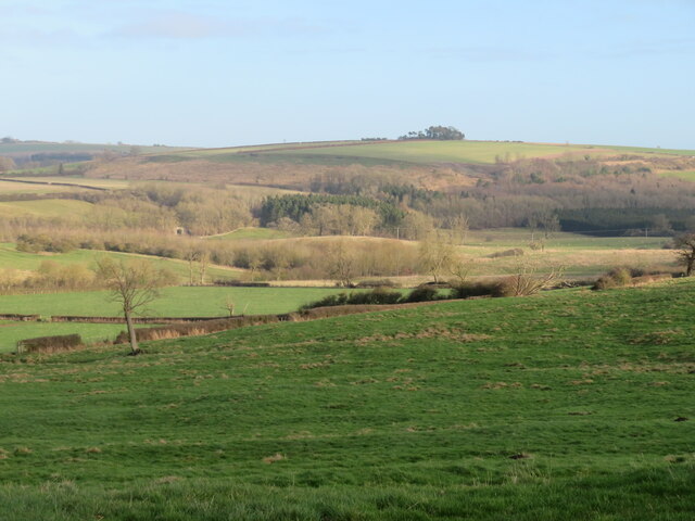
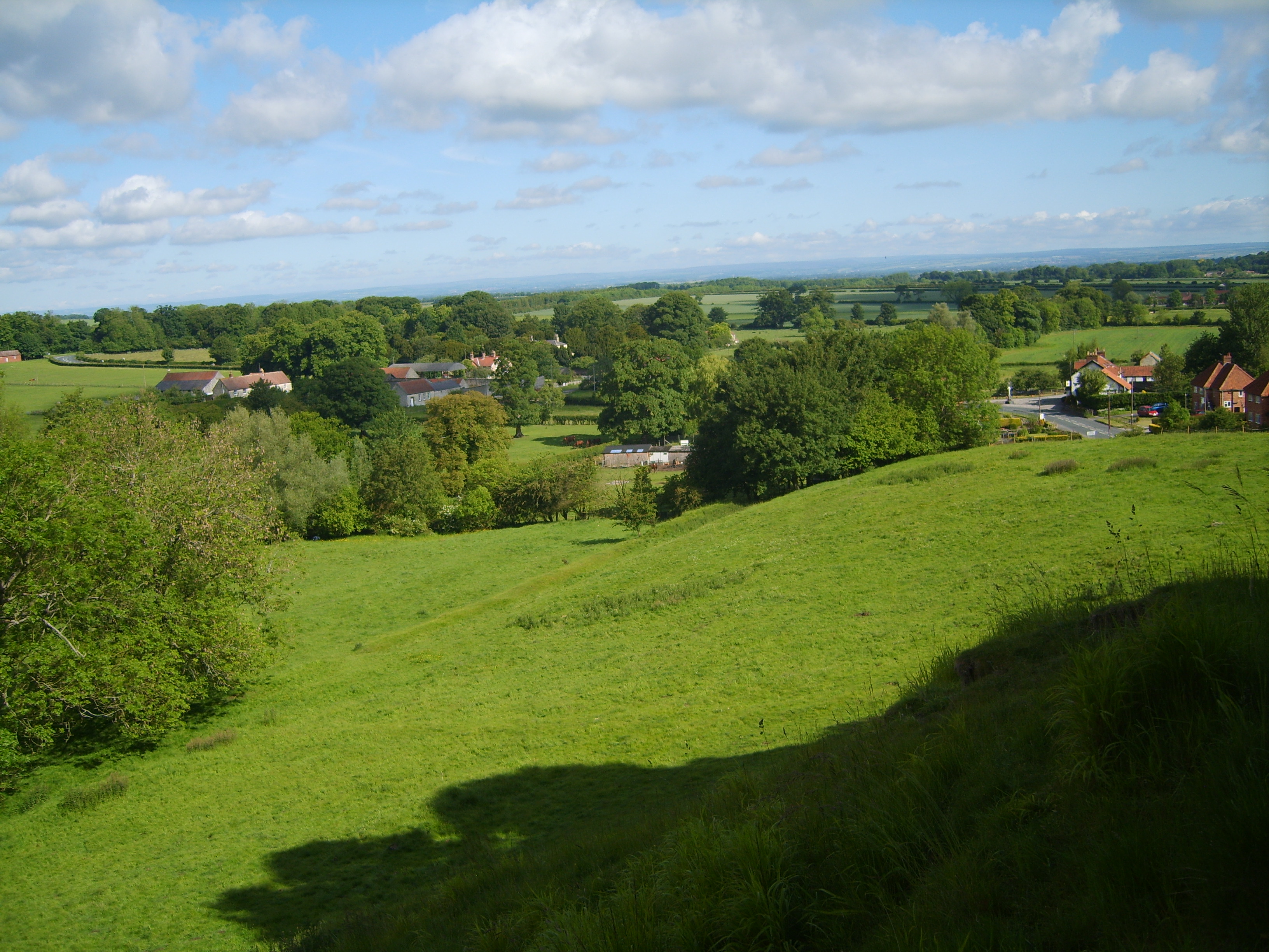
The plantation is renowned for its diverse array of plant life, with dense clusters of ancient trees providing a natural canopy that filters sunlight to create a mystical atmosphere. Oak, beech, and pine trees dominate the landscape, lending a rich and earthy scent to the air. The forest floor is adorned with a carpet of vibrant wildflowers, adding a pop of color to the lush green surroundings.

A prominent feature of Fishpond Plantation is its namesake, a large, serene pond teeming with various species of fish. Anglers flock to this idyllic spot to cast their lines and try their luck at catching trout or perch. The pond also serves as a habitat for a variety of water birds, including mallards and herons, making it a captivating sight for birdwatchers.

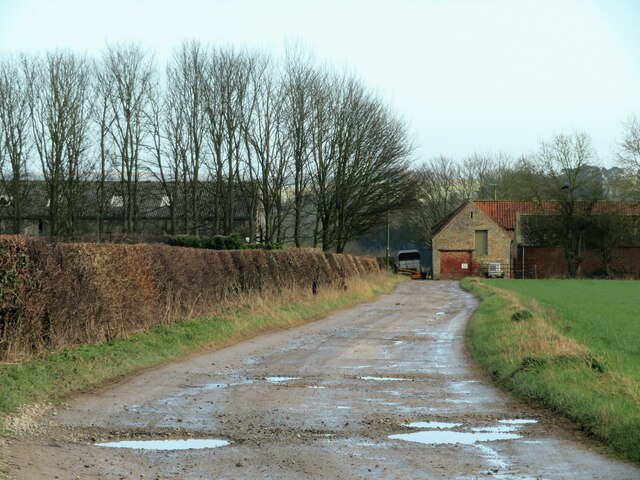
For those seeking adventure, Fishpond Plantation offers a network of well-maintained trails that wind through the forest, providing an opportunity to explore the natural beauty at one's own pace. Visitors can immerse themselves in the tranquility of the woodland, listening to the soothing sound of birdsong and the rustle of leaves underfoot.

Whether it's a leisurely stroll, a fishing excursion, or a peaceful picnic amidst nature's embrace, Fishpond Plantation in Yorkshire offers an unforgettable experience in a truly enchanting setting.

If you have any feedback on the listing, please let us know in the comments section below.

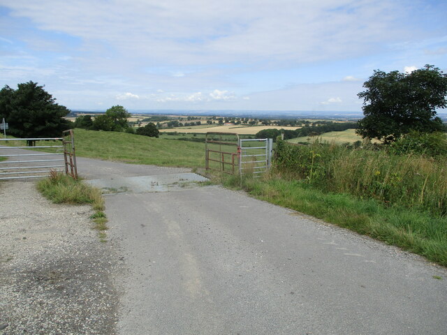
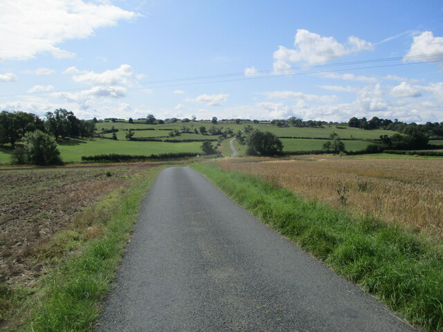
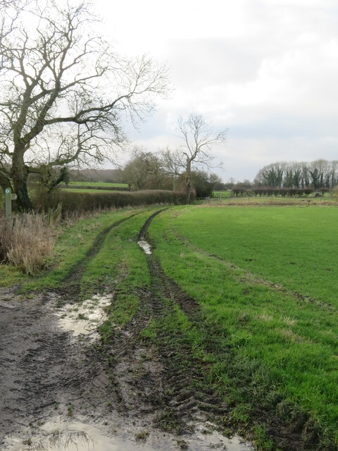
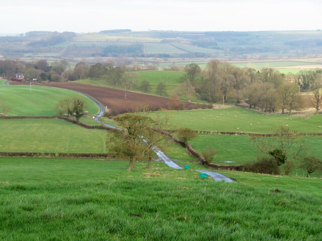
Fishpond Plantation Images

Images are sourced within 2km of 54.090801/-0.7095835 or Grid Reference SE8466. Thanks to Geograph Open Source API. All images are credited.
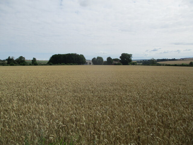
Country  road  junction  high  on  the  Yorkshire  Wolds Left for Wharram le Street, right for Birdsall
Country road junction high on the Yorkshire Wolds
Left for Wharram le Street, right for Birdsall
Luddith  Road  toward  North  Grimston A minor country road
Luddith Road toward North Grimston
A minor country road
Over  Wheat  field  toward  Wharram  Grange  Farm The field is unfenced at this point
Over Wheat field toward Wharram Grange Farm
The field is unfenced at this point
Luddith  Road  approaching  tight  left  corner To the right beyond wheat the access track to Wharram Grange Farm. no footpaths so it is lane walking
Luddith Road approaching tight left corner
To the right beyond wheat the access track to Wharram Grange Farm. no footpaths so it is lane walking
Over  ploughed  field  to  Lund  Wood
Over ploughed field to Lund Wood
Tractor  on  Luddith  Road Earthquake Plantation to the left on Birdsall Brow
Tractor on Luddith Road
Earthquake Plantation to the left on Birdsall Brow
Wheat  field  from  unfenced  Luddith  Road Lund Wood to the right
Wheat field from unfenced Luddith Road
Lund Wood to the right
Wheat  field  toward  Grimston  Brow
Wheat field toward Grimston Brow
Cattle  grid  on  Luddith  Road Unfenced pasture land down Grimston Brow
Cattle grid on Luddith Road
Unfenced pasture land down Grimston Brow
Looking  south  on  Luddith  Road The Centenary Way goes left to right following the hedges in the dip
Looking south on Luddith Road
The Centenary Way goes left to right following the hedges in the dip
Luddith  Road  toward  Station  House The Station House is on the Malton-Driffield line. Opened in 1853 and closed to all traffic in 1958. Through the trees in the centre can be seen St Nicholas parish church at North Grimston
Luddith Road toward Station House
The Station House is on the Malton-Driffield line. Opened in 1853 and closed to all traffic in 1958. Through the trees in the centre can be seen St Nicholas parish church at North Grimston
Field at Stone Ends The OS map shows 'Pits [dis]' in the foreground of this photo, but the ground has been levelled and brought under the plough. Old 6" maps show a quarry here, and one wonders if the local name of Stone Ends refers to this being an area where useful Jurassic stone faded out. Across the far side of the field one can see the road signs at the junction of B1248 and Grimston Lane.
Field at Stone Ends
The OS map shows 'Pits [dis]' in the foreground of this photo, but the ground has been levelled and brought under the plough. Old 6" maps show a quarry here, and one wonders if the local name of Stone Ends refers to this being an area where useful Jurassic stone faded out. Across the far side of the field one can see the road signs at the junction of B1248 and Grimston Lane.
Road to North Grimston Heading east towards the village of North Grimston with Grimston Plantation off to the right.
Road to North Grimston
Heading east towards the village of North Grimston with Grimston Plantation off to the right.
Centenary Way path The path doesn't look too inviting in soggy January conditions.
Centenary Way path
The path doesn't look too inviting in soggy January conditions.
Grimston Brow The scarp slope of the chalk Wolds, here looking north along the line of the minor road heading towards North Grimston. The hillside here rises just 60m or so and the road ascends with just a single arrow marked on the map.
Grimston Brow
The scarp slope of the chalk Wolds, here looking north along the line of the minor road heading towards North Grimston. The hillside here rises just 60m or so and the road ascends with just a single arrow marked on the map.
View from Luddith Road Looking north of east from Luddith Road near the top of Grimston Brow towards the plantations on Cow Cliff and the wold top beyond.
View from Luddith Road
Looking north of east from Luddith Road near the top of Grimston Brow towards the plantations on Cow Cliff and the wold top beyond.
Field edge above Grimston Brow Close to the edge of the chalk Wolds and with a pleasant view towards Grimston Hill where the B1253 road to Sledmere can be glimpsed to the right of the woodland.
Field edge above Grimston Brow
Close to the edge of the chalk Wolds and with a pleasant view towards Grimston Hill where the B1253 road to Sledmere can be glimpsed to the right of the woodland.
Track to Wharram Grange Farm The farm track is within this square, but the farm buildings are just into the adjacent square. Odd that the maps shows the area around here as Wharram Grange without a reference to any particular building. Old Maps from the 19thC show the farm as Wharram Grange as well as the area around it.
Track to Wharram Grange Farm
The farm track is within this square, but the farm buildings are just into the adjacent square. Odd that the maps shows the area around here as Wharram Grange without a reference to any particular building. Old Maps from the 19thC show the farm as Wharram Grange as well as the area around it.
Show me another place!

Fishpond Plantation is located at Grid Ref: SE8466 (Lat: 54.090801, Lng: -0.7095835)

Division: East Riding

Administrative County: North Yorkshire

District: Ryedale

Police Authority: North Yorkshire

What 3 Words

///letters.extensive.civic. Near Norton, North Yorkshire

Related Wikis

North Grimston

North Grimston is a village in the civil parish of Birdsall, in North Yorkshire, England. It is situated between Norton-on-Derwent and Wharram-le-Street...

North Grimston railway station

North Grimston railway station was a railway station on the Malton & Driffield Railway. It opened on 19 May 1853, and served the village of North Grimston...

Wharram railway station

Wharram railway station was opened by the Malton and Driffield Railway in May 1853, serving the village of Wharram-le-Street in North Yorkshire, England...

Wharram-le-Street

Wharram-le-Street is a village and former civil parish, now in the parish of Wharram, in North Yorkshire, England. Until the 1974 local government reorganisation...

Birdsall, North Yorkshire

Birdsall is a village and civil parish in North Yorkshire, England. According to the 2001 census it had a population of 180, increasing to 343 at the 2011...

Settrington railway station

Settrington railway station was a railway station on the Malton & Driffield Railway in North Yorkshire, England. It opened on 19 May 1853, and served the...

Wharram Percy

Wharram Percy is a deserted medieval village and former civil parish near Wharram-le-Street, now in the parish of Wharram, on the western edge of the chalk...

Wharram

Wharram is a civil parish in North Yorkshire, England. It lies on the Yorkshire Wolds, 6 miles (10 km) south-east of Malton. The principal settlement is...

Have you been to Fishpond Plantation?

Leave your review of Fishpond Plantation below (or comments, questions and feedback).