Burton Wood

Wood, Forest in Lincolnshire West Lindsey

England

Burton Wood

Bench Mark Marton White Swan Bench Mark Marton White Swan, Stow Park Rd 30m up from junction with A156.
Bench Mark Marton White Swan Credit: Mike Price

Burton Wood is a small forested area located in the county of Lincolnshire, in the East Midlands region of England. Situated near the village of Burton, the wood covers an approximate area of 50 acres. It is a popular destination for nature enthusiasts and locals seeking tranquility and outdoor activities.

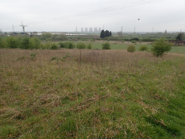
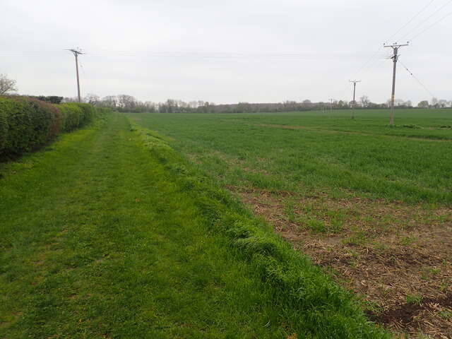
The wood is predominantly composed of deciduous trees, such as oak, birch, and beech, which create a dense canopy providing shade during summer months. The woodland floor is covered with a variety of native wildflowers and ferns, adding to its natural beauty. The area is home to a diverse range of wildlife, including deer, foxes, rabbits, and various species of birds.

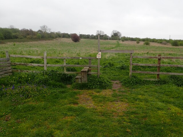
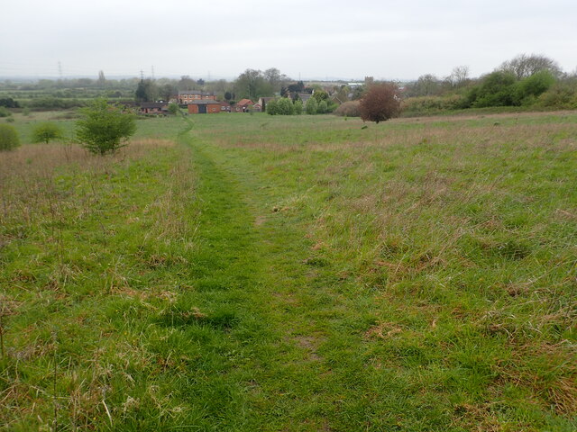
Burton Wood offers several walking trails and footpaths, allowing visitors to explore and appreciate its natural surroundings. These paths are well-maintained and clearly marked, making it easy for hikers to navigate. Additionally, there are picnic areas and benches scattered throughout the wood, offering places for visitors to rest and enjoy the peaceful atmosphere.

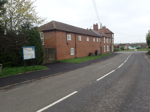
The wood is open to the public throughout the year, with no admission fee. It is managed by the local council, which ensures the conservation of the area and its wildlife. Due to its proximity to the village of Burton, amenities such as parking facilities and public restrooms are available nearby.

Overall, Burton Wood is a picturesque and serene destination for those seeking a peaceful retreat in the heart of Lincolnshire. Its natural beauty, diverse wildlife, and well-maintained trails make it an ideal location for outdoor enthusiasts and nature lovers alike.

If you have any feedback on the listing, please let us know in the comments section below.
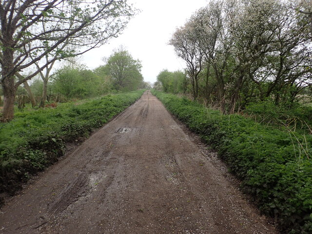
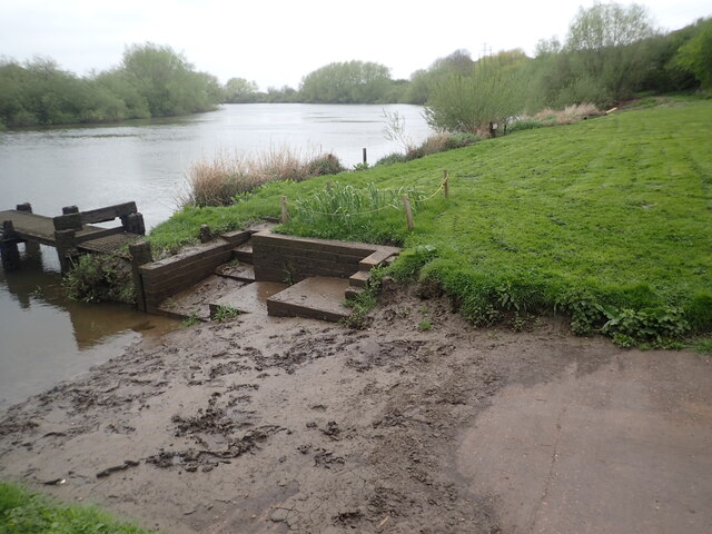
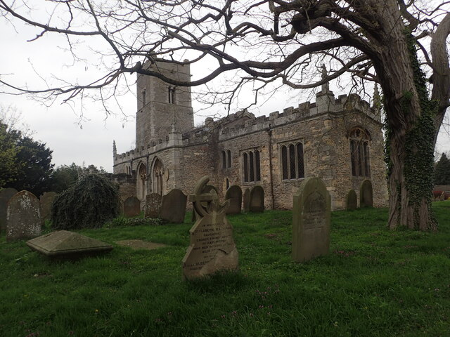
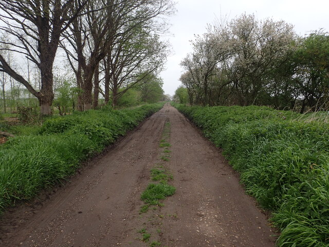
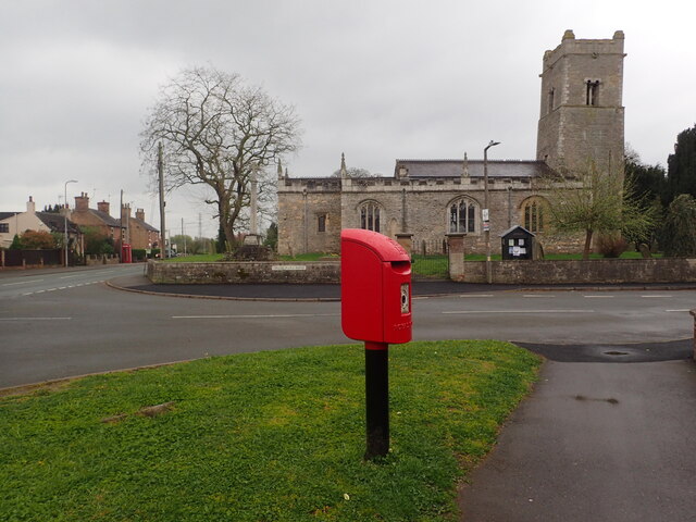
Burton Wood Images

Images are sourced within 2km of 53.338609/-0.73361618 or Grid Reference SK8483. Thanks to Geograph Open Source API. All images are credited.

Bench Mark Marton White Swan Bench Mark Marton White Swan, Stow Park Rd 30m up from junction with A156.
Bench Mark Marton White Swan
Bench Mark Marton White Swan, Stow Park Rd 30m up from junction with A156.
Littleborough Lane Littleborough Lane starts off as a normal road in the village of Marton but beyond the last house, as seen here, it becomes a rough track on its way to the River Trent. For more about Littleborough Lane see <a title="www.geograph.org.uk/photo/6686918" href="https://www.geograph.org.uk/photo/6686918">Link</a>
Littleborough Lane
Littleborough Lane starts off as a normal road in the village of Marton but beyond the last house, as seen here, it becomes a rough track on its way to the River Trent. For more about Littleborough Lane see Link
Looking north from the site of the old Stow Park station On 9th April 1849 a single-track line was built by the Great Northern Railway (GNR) from Lincoln to Gainsborough. The GNR was keen to extend their line from Gainsborough to Doncaster and parliamentary approval for this line was received on 25th July 1864. As part of this scheme the existing Lincoln to Gainsborough line was also to be upgraded. On 1st December that year the line from Lincoln to Doncaster was closed and doubling took place.

Behind where I am standing is the site of the old Stow Park station - see <a title="www.geograph.org.uk/photo/7470133" href="https://www.geograph.org.uk/photo/7470133">Link</a>  the next station in this direction is Gainsborough Lea Road.
Looking north from the site of the old Stow Park station
On 9th April 1849 a single-track line was built by the Great Northern Railway (GNR) from Lincoln to Gainsborough. The GNR was keen to extend their line from Gainsborough to Doncaster and parliamentary approval for this line was received on 25th July 1864. As part of this scheme the existing Lincoln to Gainsborough line was also to be upgraded. On 1st December that year the line from Lincoln to Doncaster was closed and doubling took place. Behind where I am standing is the site of the old Stow Park station - see Link the next station in this direction is Gainsborough Lea Road.
Marton Cemetery Marton Cemetery is seen here from Trent Port Road which leads from Marton Church to Trent Port.
Marton Cemetery
Marton Cemetery is seen here from Trent Port Road which leads from Marton Church to Trent Port.
Marton Cemetery Marton Cemetery is on Trent Port Road which leads from Marton Church to Trent Port.
Marton Cemetery
Marton Cemetery is on Trent Port Road which leads from Marton Church to Trent Port.
River Trent at Trent Port This view looks downriver. The view in the other direction with the cooling towers of Cottam Power Station in the distance can be seen at <a title="www.geograph.org.uk/photo/7470163" href="https://www.geograph.org.uk/photo/7470163">Link</a>
River Trent at Trent Port
This view looks downriver. The view in the other direction with the cooling towers of Cottam Power Station in the distance can be seen at Link
St Margaret's Church, Marton St Margaret's Church has a Saxon tower with herring-bone masonry and a Norman Arcade. There is an unusual collection of Anglo-Scandinavian stone sculptures built into the fabric of the church, including a cross-head, a cross base and fragments of grave covers which all date from between 920 AD and 970 AD.
St Margaret's Church, Marton
St Margaret's Church has a Saxon tower with herring-bone masonry and a Norman Arcade. There is an unusual collection of Anglo-Scandinavian stone sculptures built into the fabric of the church, including a cross-head, a cross base and fragments of grave covers which all date from between 920 AD and 970 AD.
Littleborough Lane Littleborough Lane starts off as a normal road in the village of Marton but beyond the last house, as seen here, it becomes a rough track on its way to the River Trent. For more about Littleborough Lane see <a title="www.geograph.org.uk/photo/6686918" href="https://www.geograph.org.uk/photo/6686918">Link</a>
Littleborough Lane
Littleborough Lane starts off as a normal road in the village of Marton but beyond the last house, as seen here, it becomes a rough track on its way to the River Trent. For more about Littleborough Lane see Link
St Mary's Church, Marton St Margaret's Church has a Saxon tower with herring-bone masonry and a Norman Arcade. There is an unusual collection of Anglo-Scandinavian stone sculptures built into the fabric of the church, including a cross-head, a cross base and fragments of grave covers which all date from between 920 AD and 970 AD.
St Mary's Church, Marton
St Margaret's Church has a Saxon tower with herring-bone masonry and a Norman Arcade. There is an unusual collection of Anglo-Scandinavian stone sculptures built into the fabric of the church, including a cross-head, a cross base and fragments of grave covers which all date from between 920 AD and 970 AD.
Stow Park Road Just ahead is the junction with High Street in the centre of Marton.
Stow Park Road
Just ahead is the junction with High Street in the centre of Marton.
View across the Trent Valley A footpath leads uphill from the southern end of the village of Marton to Stow Park Road. At the top of the hill there is a good view back across the Trent Valley with the cooling towers of Cottam Power Station prominent in the distance beyond the Trent.
View across the Trent Valley
A footpath leads uphill from the southern end of the village of Marton to Stow Park Road. At the top of the hill there is a good view back across the Trent Valley with the cooling towers of Cottam Power Station prominent in the distance beyond the Trent.
Footpath to Stow Park Road A footpath leads uphill from the southern end of the village of Marton here to Stow Park Road. At the top of the hill there is a good view back across the Trent Valley with the cooling towers of Cottam Power Station prominent in the distance beyond the Trent - see <a title="www.geograph.org.uk/photo/7488579" href="https://www.geograph.org.uk/photo/7488579">Link</a>
Footpath to Stow Park Road
A footpath leads uphill from the southern end of the village of Marton here to Stow Park Road. At the top of the hill there is a good view back across the Trent Valley with the cooling towers of Cottam Power Station prominent in the distance beyond the Trent - see Link
Footpath at Marton A footpath leads uphill from the southern end of the village of Marton to Stow Park Road. At the top of the hill there is a good view back across the Trent Valley with the cooling towers of Cottam Power Station prominent in the distance beyond the Trent - see <a title="www.geograph.org.uk/photo/7488579" href="https://www.geograph.org.uk/photo/7488579">Link</a>  This is part way up the hill looking back to Marton.
Footpath at Marton
A footpath leads uphill from the southern end of the village of Marton to Stow Park Road. At the top of the hill there is a good view back across the Trent Valley with the cooling towers of Cottam Power Station prominent in the distance beyond the Trent - see Link This is part way up the hill looking back to Marton.
Footpath to Willingham Road This footpath leads the short distance from Stow Park Road past a new housing development to reach Willingham Road, just beyond the trees in the distance.
Footpath to Willingham Road
This footpath leads the short distance from Stow Park Road past a new housing development to reach Willingham Road, just beyond the trees in the distance.
Footpath to Willingham Road This footpath leads the short distance from Stow Park Road past a new housing development to reach Willingham Road, just beyond the trees in the distance. Beyond those, Burton Wood can be seen.
Footpath to Willingham Road
This footpath leads the short distance from Stow Park Road past a new housing development to reach Willingham Road, just beyond the trees in the distance. Beyond those, Burton Wood can be seen.
St.Margaret's church, Marton, Lincs. Anglo-Saxon tower with lots of herringbone coursing, an ancient feel to the whole church
St.Margaret's church, Marton, Lincs.
Anglo-Saxon tower with lots of herringbone coursing, an ancient feel to the whole church
Old mill, Trent Port, Marton, Lincs. The Old mill high above the River Trent near Marton. In the process of being renovated into a home when this picture was taken in December 2004
Old mill, Trent Port, Marton, Lincs.
The Old mill high above the River Trent near Marton. In the process of being renovated into a home when this picture was taken in December 2004
Gate Burton Hall In lovely parkland, Gate Burton Hall dates from 1774 with early 20th century additions all round.
Gate Burton Hall
In lovely parkland, Gate Burton Hall dates from 1774 with early 20th century additions all round.
Show me another place!

Burton Wood is located at Grid Ref: SK8483 (Lat: 53.338609, Lng: -0.73361618)

Administrative County: Lincolnshire

District: West Lindsey

Police Authority: Lincolnshire

What 3 Words

///thumb.secures.surfaces. Near Willingham, Lincolnshire

Nearby Locations

Gate Burton Burton Wood

Related Wikis

Gate Burton

Gate Burton (sometimes called Burton Gate), is a village and civil parish in the West Lindsey district of Lincolnshire, England. It is situated 4 miles...

A156 road

The A156 is an 11 miles (18 km) long road that runs from the A57 near Saxilby and heads north to Gainsborough. The road runs entirely within Lincolnshire...

Marton, Lincolnshire

Marton is a village and civil parish in the West Lindsey district of Lincolnshire, England. It is situated at the junction between the A156 and the A1500...

Littleborough, Nottinghamshire

Littleborough is a village and former civil parish, now in the parish of Sturton le Steeple, in the Bassetlaw district, in the county of Nottinghamshire...

Nearby Amenities

Located within 500m of 53.338609,-0.73361618
Power: pole
Lat/Long: 53.3344484/-0.7322093
Power: pole
Lat/Long: 53.3350202/-0.7315626
Power: pole
Lat/Long: 53.3356077/-0.7309422
Power: pole
Lat/Long: 53.3362325/-0.7307564
Power: pole
Lat/Long: 53.336829/-0.7306698
Power: pole
Lat/Long: 53.337613/-0.7304745
Power: pole
Lat/Long: 53.3383964/-0.7302898
Power: pole
Lat/Long: 53.339209/-0.7301078
Power: pole
Lat/Long: 53.3400282/-0.7299262
Power: pole
Lat/Long: 53.3406591/-0.7299617
Power: pole
Lat/Long: 53.3412396/-0.7299972
Power: pole
Lat/Long: 53.3420137/-0.7300017
The data included in this document is from www.openstreetmap.org. The data is made available under ODbL.

Have you been to Burton Wood?

Leave your review of Burton Wood below (or comments, questions and feedback).