Fox Plantation
Wood, Forest in Yorkshire Ryedale
England
Fox Plantation

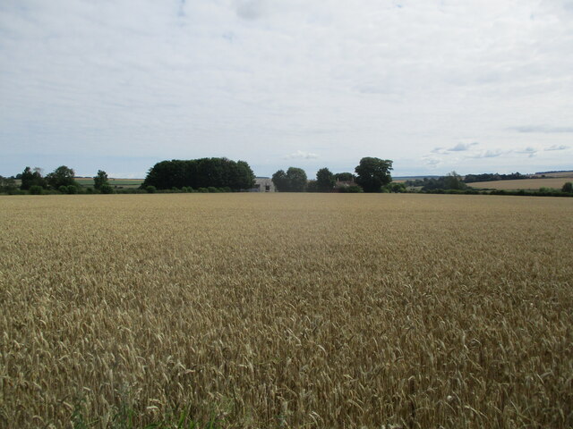
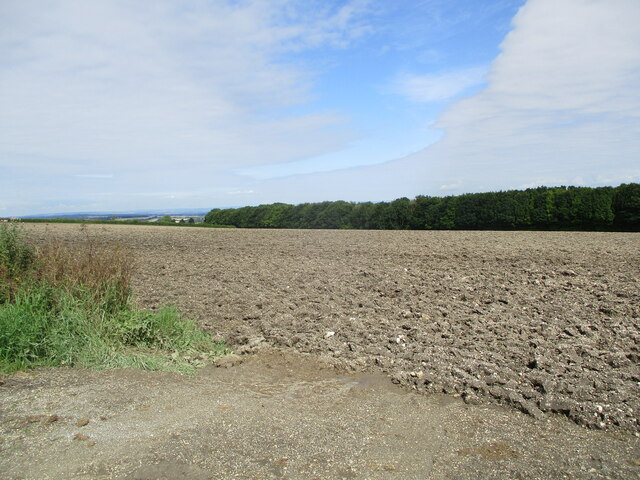
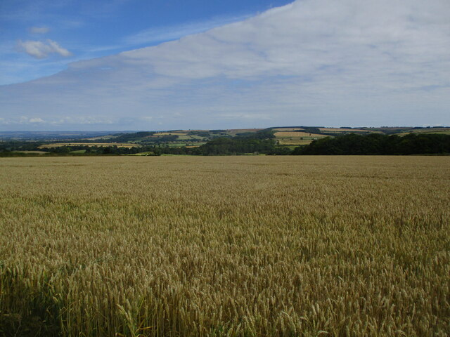
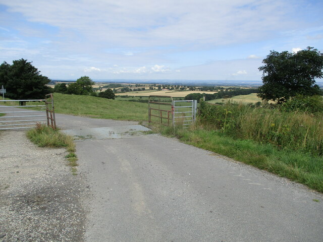
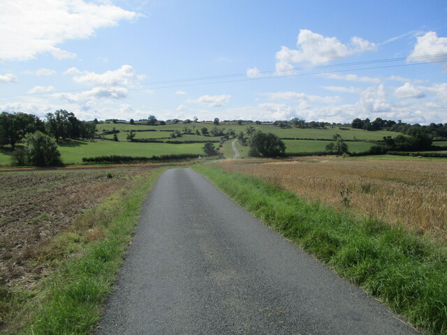
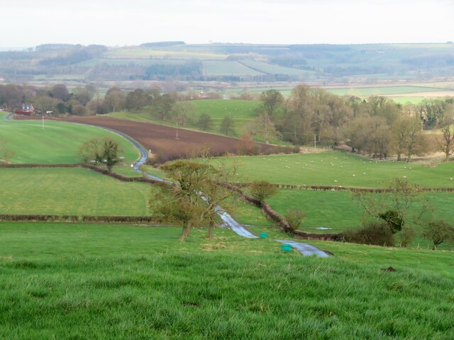
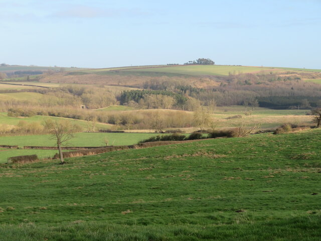
Fox Plantation is a picturesque woodland located in the county of Yorkshire, England. Nestled in the heart of the countryside, this enchanting forest covers an area of approximately 100 acres and is a popular destination for nature enthusiasts and outdoor lovers.
The plantation is characterized by its diverse range of trees, including oak, beech, and birch, creating a rich and vibrant ecosystem. The dense canopy provides a haven for numerous species of wildlife, making it a haven for birdwatching and wildlife spotting.
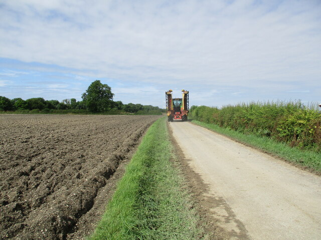
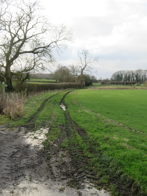
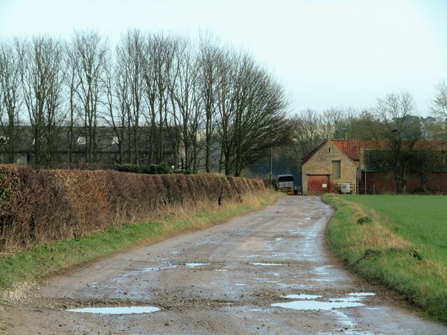
Visitors to Fox Plantation can explore a network of well-maintained walking trails that crisscross the forest, offering breathtaking views of the surrounding landscape. The trails are suitable for all levels of fitness and are particularly popular for leisurely strolls, dog walking, and family outings.
With its serene atmosphere and tranquil surroundings, Fox Plantation is the perfect place for nature lovers to reconnect with the great outdoors. The forest also offers opportunities for recreational activities such as picnicking, photography, and even orienteering.
Managed by a dedicated team of conservationists, Fox Plantation is committed to the preservation and protection of its natural beauty. Regular maintenance work ensures that the woodland remains a safe and enjoyable environment for everyone to explore.
Whether you're seeking a peaceful retreat or an opportunity to immerse yourself in nature, Fox Plantation in Yorkshire is a haven that offers a truly enriching experience for all who visit.
If you have any feedback on the listing, please let us know in the comments section below.
Fox Plantation Images
Images are sourced within 2km of 54.076988/-0.71144868 or Grid Reference SE8465. Thanks to Geograph Open Source API. All images are credited.


Fox Plantation is located at Grid Ref: SE8465 (Lat: 54.076988, Lng: -0.71144868)
Division: East Riding
Administrative County: North Yorkshire
District: Ryedale
Police Authority: North Yorkshire
What 3 Words
///stapled.skipped.cries. Near Fimber, East Yorkshire
Nearby Locations
Related Wikis
Wharram railway station
Wharram railway station was opened by the Malton and Driffield Railway in May 1853, serving the village of Wharram-le-Street in North Yorkshire, England...

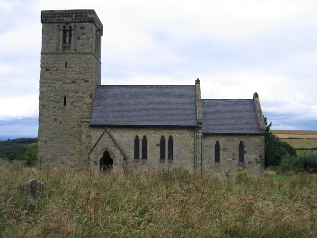
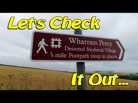
Wharram Percy
Wharram Percy is a deserted medieval village and former civil parish near Wharram-le-Street, now in the parish of Wharram, on the western edge of the chalk...
Wharram-le-Street
Wharram-le-Street is a village and former civil parish, now in the parish of Wharram, in North Yorkshire, England. Until the 1974 local government reorganisation...
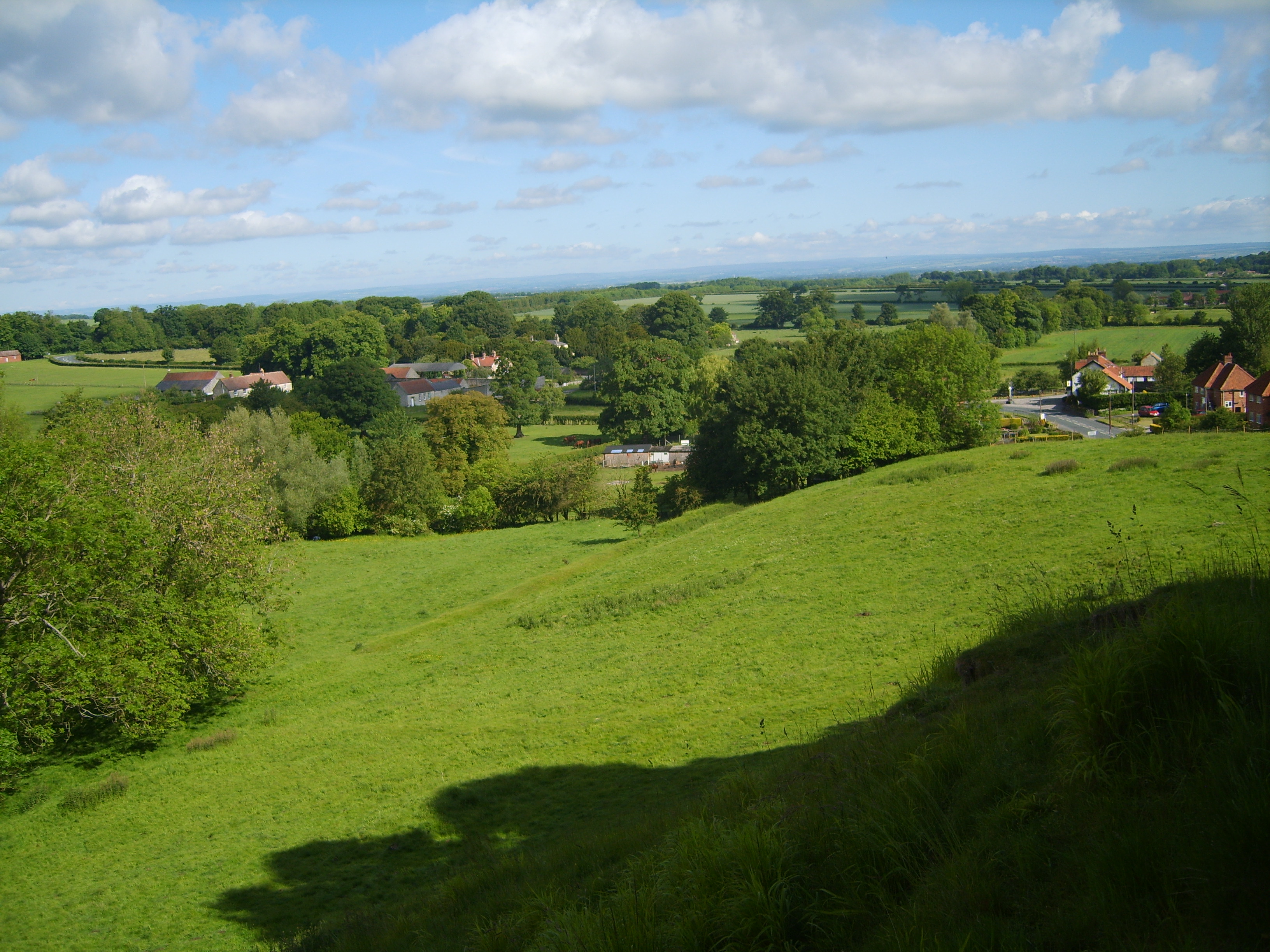
Wharram
Wharram is a civil parish in North Yorkshire, England. It lies on the Yorkshire Wolds, 6 miles (10 km) south-east of Malton. The principal settlement is...

North Grimston railway station
North Grimston railway station was a railway station on the Malton & Driffield Railway. It opened on 19 May 1853, and served the village of North Grimston...
North Grimston
North Grimston is a village in the civil parish of Birdsall, in North Yorkshire, England. It is situated between Norton-on-Derwent and Wharram-le-Street...

Birdsall, North Yorkshire
Birdsall is a village and civil parish in North Yorkshire, England. According to the 2001 census it had a population of 180, increasing to 343 at the 2011...
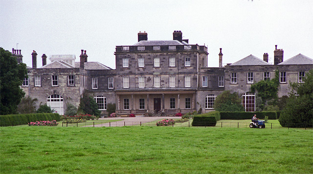
Birdsall House
Birdsall House is an English country house in Birdsall, North Yorkshire. It is a Grade II* listed building.The house dates from the late 16th century but...
Related Videos

Exploring at Wharram Percy medieval village UK
Xplor.life. UK Travel, exploring the deserted medieval village Wharram Percy #explore #exploring #travel #travelvlog #uk #video ...

WHARRAM PERCY - deserted medieval village with a gruesome secret
Wharram Percy is one of the best known and well-preserved deserted medieval villages in England. The earthworks evidence two ...

A Brief History of Wharram Percy - A Deserted Medieval Village
This video will soon be remade/rewritten. i have learned a lot since I started and was also hampered by lockdown in regards to ...
Wharram Percy - Exploring a Deserted Medieval Village in North Yorkshire
Wharram Percy - Exploring a Deserted Medieval Village in North Yorkshire - In August I had a walk around Wharram Percy, ...
Nearby Amenities
Located within 500m of 54.076988,-0.71144868Have you been to Fox Plantation?
Leave your review of Fox Plantation below (or comments, questions and feedback).