Basin Copse
Wood, Forest in Sussex Chichester
England
Basin Copse
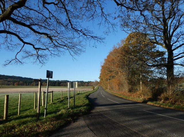
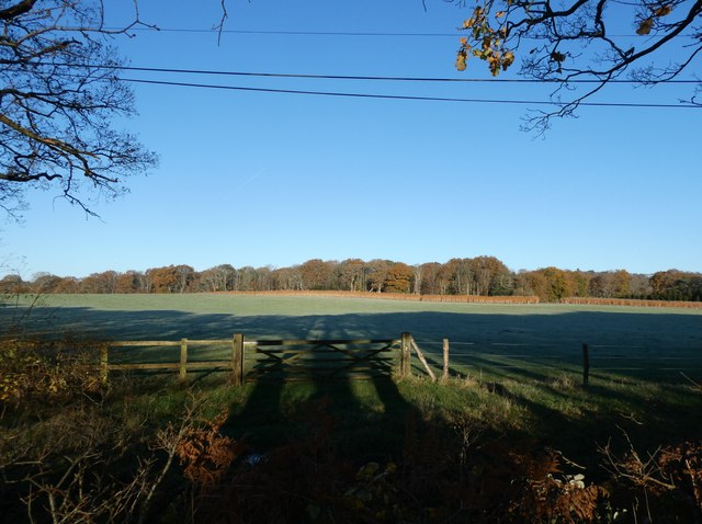
Basin Copse is a picturesque woodland located in the county of Sussex, England. Nestled in the heart of the South Downs National Park, this enchanting forest covers an area of approximately 100 acres. It is renowned for its rich biodiversity and breathtaking scenery, attracting nature enthusiasts and hikers alike.
The woodland is predominantly composed of native tree species such as oak, beech, and birch, which create a dense canopy that provides a haven for various wildlife species. The forest floor is adorned with a vibrant carpet of bluebells during the spring months, adding a touch of beauty to the already stunning landscape.
Walking through Basin Copse, visitors can expect to encounter a diverse range of wildlife. The woodland is home to numerous bird species, including woodpeckers, nuthatches, and tawny owls. Squirrels can be spotted darting through the trees, and if lucky, one may even catch a glimpse of a shy deer or fox.
For those seeking outdoor activities, Basin Copse offers several well-maintained trails and footpaths that wind through the forest, allowing visitors to immerse themselves in the tranquility and solitude of nature. The woodland also provides opportunities for camping and picnicking, making it an ideal destination for family outings or a peaceful retreat.
In addition to its natural beauty, Basin Copse has historical significance. It was once part of the ancient woodland that covered much of Sussex and has retained its charm and character throughout the centuries.
Overall, Basin Copse is a truly remarkable woodland that offers a captivating combination of natural beauty, wildlife, and recreational activities. It is a haven for those seeking solace in nature and an opportunity to connect with the rich biodiversity of Sussex.
If you have any feedback on the listing, please let us know in the comments section below.
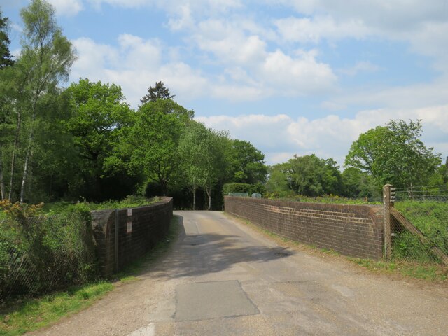
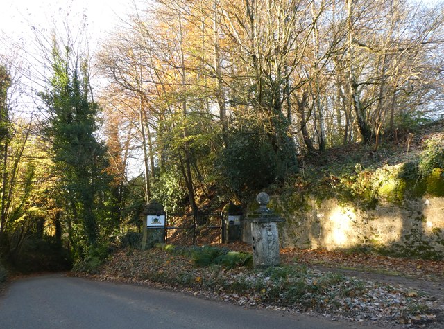
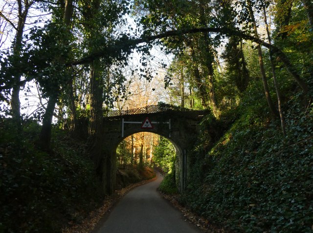
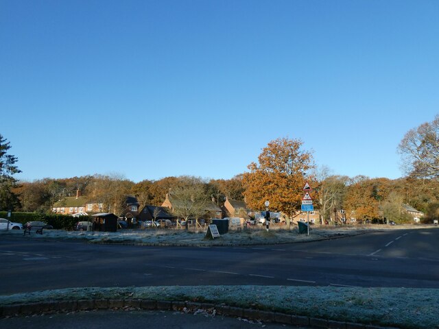
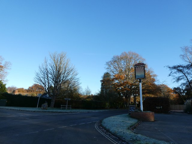
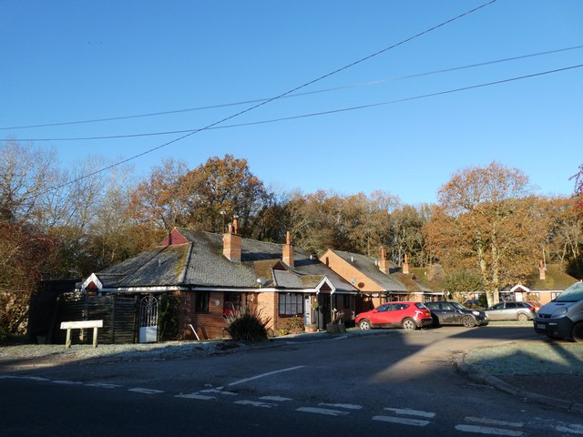
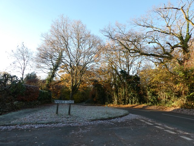
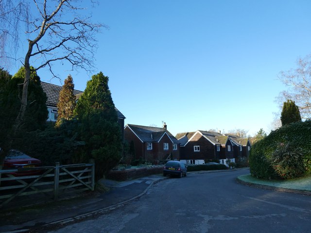
Basin Copse Images
Images are sourced within 2km of 51.044537/-0.8092225 or Grid Reference SU8327. Thanks to Geograph Open Source API. All images are credited.


Basin Copse is located at Grid Ref: SU8327 (Lat: 51.044537, Lng: -0.8092225)
Administrative County: West Sussex
District: Chichester
Police Authority: Sussex
What 3 Words
///ourselves.calculating.values. Near Liphook, Hampshire
Nearby Locations
Related Wikis

Milland
Milland is a village and civil parish in the Chichester district of West Sussex, England. It is situated north of the A272 road on the border with Hampshire...

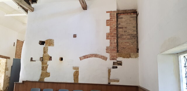
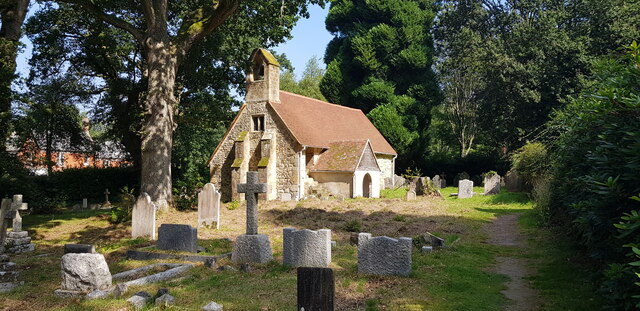
Tuxlith Chapel
Tuxlith Chapel, also known as Milland Old Church, is a redundant Anglican church in the village of Milland, West Sussex, England (grid reference SU 825...

Chapel Common
Chapel Common is a 101-hectare (250-acre) biological Site of Special Scientific Interest west of Fernhurst in West Sussex. A Roman road through the common...

Hollycombe Steam Collection
The Hollycombe Steam Collection is a collection of steam-powered vehicles, amusement rides, and attractions in South East England. It is based in West...
Forest Mere
Forest Mere is a 14.6-hectare (36-acre) biological Site of Special Scientific Interest north of Midhurst in West Sussex.The site consists of Folly Pond...

Linch
Linch is an Anglican parish, and a loose collection of hamlets that make up the civil parish of the same name in the Chichester District of West Sussex...

Titty Hill
Titty Hill is a hamlet in the civil parish of Milland in the Chichester district of West Sussex, England. It is close to a Roman way station or mansio...

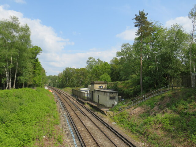
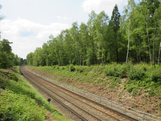
Liphook railway station
Liphook railway station serves the large village of Liphook, in Hampshire, England. It is on the Portsmouth Direct Line, 46 miles 67 chains (75.4 km) down...
Related Videos

swcwalks, book 1, walk 6, Liphook to Haslemere. 6/10/22
This was a splendid 10 mile woodland walk on the very northern extremity of the South Downs National Park, last 'filmed' in ...

Hollycombe Steam In The Country! - A Great Day Out
Join us as we visit Hollycombe Steam In The Country located in Liphook, Hampshire, England which is mainly run and maintained ...

Hollycombe Steam Collection Vlog 14th July 2019
Join me and good friend Dave Stratton of Slothy Vlogs as we visit Hollycombe Steam in the County located near Liphook in ...

D26301a(vid). Hollycombe Steam Festival, part 2.
D26301a(vid). The Hollycombe Steam in the Country steam collection held a steam festival over the weekend 2nd, 3rd and 4th ...
Nearby Amenities
Located within 500m of 51.044537,-0.8092225Have you been to Basin Copse?
Leave your review of Basin Copse below (or comments, questions and feedback).