Limekiln Copse
Wood, Forest in Sussex Chichester
England
Limekiln Copse
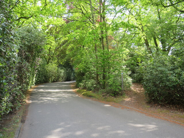
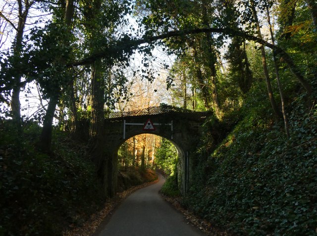
Limekiln Copse is a picturesque woodland located in Sussex, England. Spanning over a vast area of lush greenery, this forest is renowned for its natural beauty and diverse ecosystem. The copse is primarily composed of oak and beech trees, which provide a dense canopy of foliage, creating a cool and serene atmosphere throughout the year.
The woodland floor is adorned with a vibrant carpet of wildflowers, including bluebells, primroses, and wood anemones, adding a burst of color to the landscape. This diversity of plant life attracts a wide range of wildlife, making Limekiln Copse a haven for nature enthusiasts and wildlife photographers.
Among the many species that call this forest home, visitors may spot a variety of birds such as woodpeckers, owls, and warblers. The copse is also inhabited by mammals including deer, foxes, and badgers. For those interested in insects, Limekiln Copse is home to numerous butterflies, moths, and beetles.
Visitors to Limekiln Copse can enjoy a peaceful stroll along the well-maintained trails that wind through the forest. These paths offer breathtaking views of the surrounding countryside and provide an opportunity for a tranquil escape from the bustling city life. The copse is a popular destination for hikers and picnickers, offering several picnic areas with benches and tables.
Overall, Limekiln Copse is a captivating woodland that showcases the beauty of nature in Sussex. With its diverse ecosystems, scenic trails, and abundant wildlife, it is a must-visit destination for anyone seeking a peaceful retreat in the heart of the English countryside.
If you have any feedback on the listing, please let us know in the comments section below.
Limekiln Copse Images
Images are sourced within 2km of 51.054747/-0.81224237 or Grid Reference SU8329. Thanks to Geograph Open Source API. All images are credited.


Limekiln Copse is located at Grid Ref: SU8329 (Lat: 51.054747, Lng: -0.81224237)
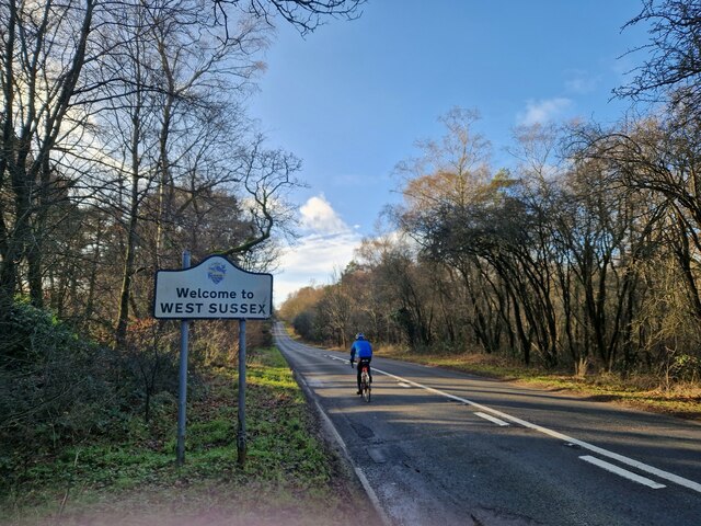
Administrative County: West Sussex
District: Chichester
Police Authority: Sussex
What 3 Words
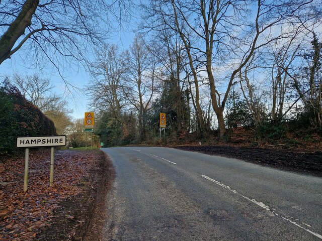
///emeralds.kite.slippery. Near Liphook, Hampshire
Nearby Locations
Related Wikis

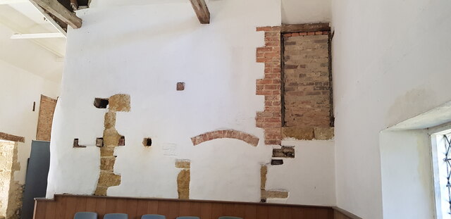
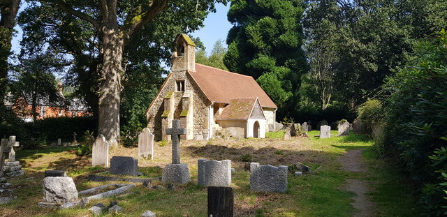
Tuxlith Chapel
Tuxlith Chapel, also known as Milland Old Church, is a redundant Anglican church in the village of Milland, West Sussex, England (grid reference SU 825...

Chapel Common
Chapel Common is a 101-hectare (250-acre) biological Site of Special Scientific Interest west of Fernhurst in West Sussex. A Roman road through the common...
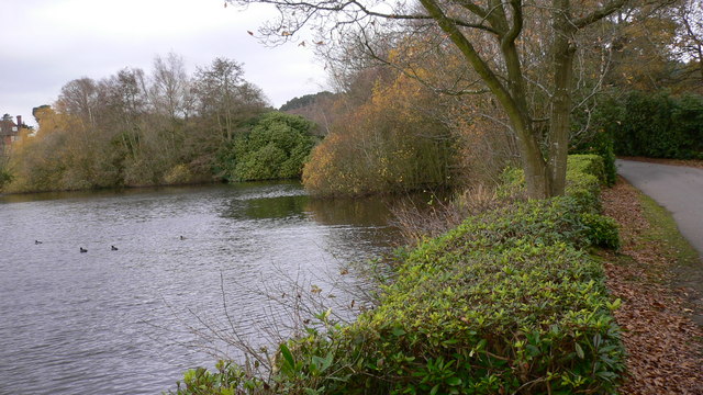
Forest Mere
Forest Mere is a 14.6-hectare (36-acre) biological Site of Special Scientific Interest north of Midhurst in West Sussex.The site consists of Folly Pond...

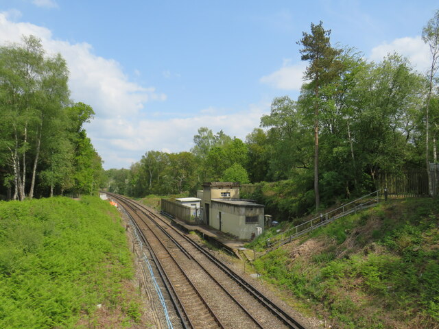
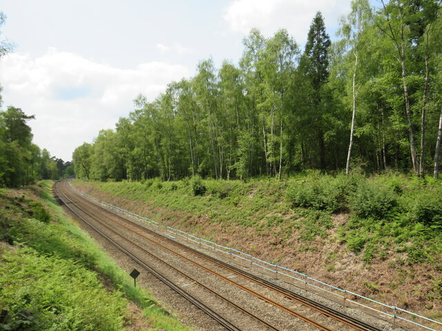
Liphook railway station
Liphook railway station serves the large village of Liphook, in Hampshire, England. It is on the Portsmouth Direct Line, 46 miles 67 chains (75.4 km) down...

Milland
Milland is a village and civil parish in the Chichester district of West Sussex, England. It is situated north of the A272 road on the border with Hampshire...

Hollycombe Steam Collection
The Hollycombe Steam Collection is a collection of steam-powered vehicles, amusement rides, and attractions in South East England. It is based in West...

Liphook
Liphook is a large village in the East Hampshire district of Hampshire, England. It is 4.1 miles (6.6 km) west of Haslemere, bypassed by the A3 road, and...

Bohunt School
Bohunt School is a coeducational secondary school and sixth form located in the rural village of Liphook, Hampshire, England. The school was opened in...
Related Videos

Hollycombe Steam In The Country! - A Great Day Out
Join us as we visit Hollycombe Steam In The Country located in Liphook, Hampshire, England which is mainly run and maintained ...

swcwalks, book 1, walk 6, Liphook to Haslemere. 6/10/22
This was a splendid 10 mile woodland walk on the very northern extremity of the South Downs National Park, last 'filmed' in ...

#82 Rob's Hampshire Pub Walks Griggs Green & Liphook Ponds
A lovely Hampshire walk around the woodlands and ponds of a country estate at Griggs Green near Liphook on the northern ...

Fairground Model Attractions at Hollycombe - Part 2
There were a number of working and illuminated fairground model attractions on display at Hollycombe Steam in the Country ...
Nearby Amenities
Located within 500m of 51.054747,-0.81224237Have you been to Limekiln Copse?
Leave your review of Limekiln Copse below (or comments, questions and feedback).