Allotment Spinney
Wood, Forest in Northamptonshire
England
Allotment Spinney

Allotment Spinney is a small woodland area located in Northamptonshire, England. Covering an area of approximately 2 acres, it is situated near the village of Wood in the heart of the county. The spinney is characterized by a dense growth of trees, predominantly consisting of oak, ash, and beech. These trees create a vibrant canopy that provides shade and shelter for various fauna and flora.
The spinney is well-maintained and has designated paths that allow visitors to explore the area easily. These paths are lined with native wildflowers and shrubs, adding to the natural beauty of the woodland. Several benches are strategically placed along the paths, providing visitors with resting spots where they can observe the wildlife or simply enjoy the tranquility of the surroundings.
The spinney is home to a diverse range of wildlife, including numerous bird species such as woodpeckers, thrushes, and finches. Squirrels, rabbits, and foxes are also commonly spotted in the area. The woodland provides a valuable habitat for these animals, offering a source of food and protection.
Allotment Spinney is a popular destination for nature enthusiasts, walkers, and families looking for a peaceful retreat. It is easily accessible by foot or bike, with ample parking available nearby. The spinney is also used by local schools and educational groups as an outdoor classroom, offering opportunities for environmental education and learning about the importance of conservation.
Overall, Allotment Spinney is a valuable natural resource in Northamptonshire, providing a haven for wildlife and offering a place of solace and beauty for visitors.
If you have any feedback on the listing, please let us know in the comments section below.
Allotment Spinney Images
Images are sourced within 2km of 52.388464/-0.78021468 or Grid Reference SP8377. Thanks to Geograph Open Source API. All images are credited.


Allotment Spinney is located at Grid Ref: SP8377 (Lat: 52.388464, Lng: -0.78021468)
Unitary Authority: North Northamptonshire
Police Authority: Northamptonshire
What 3 Words
///secrets.occupiers.began. Near Broughton, Northamptonshire
Nearby Locations
Related Wikis

Kettering Ironstone Railway
The Kettering Ironstone Railway was an industrial 3 ft (914 mm) narrow gauge railway that served the ironstone quarries around Kettering. == History... ==
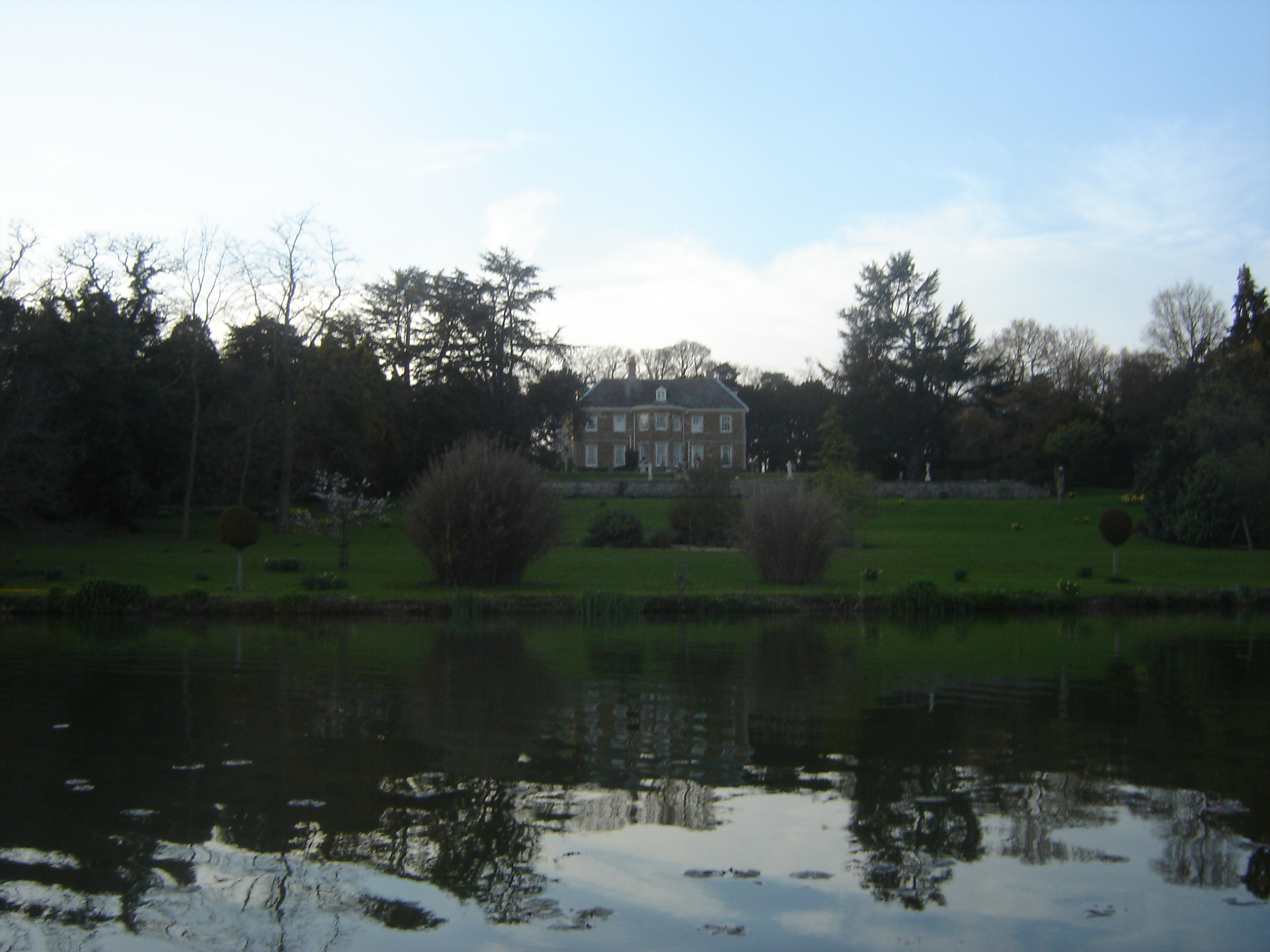
Cransley Hall
Cransley Hall is a Grade II* listed[1] country manor house in the village of Great Cransley, near Kettering in Northamptonshire. It is set in its own grounds...
Cransley
Cransley is a civil parish in Northamptonshire, England. It contains the village of Great Cransley but Little Cransley is in the adjacent parish of Broughton...

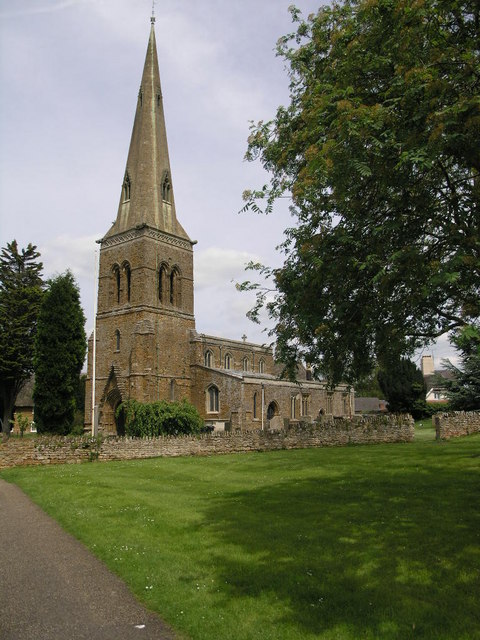
Church of St Leonard, Thorpe Malsor
The Church of St Leonard (also called the Church of All Saints) is a Grade II* listed English parish church in Thorpe Malsor, Northamptonshire. Renovations...
Loddington, Northamptonshire
Loddington is a village and civil parish about 3 miles (5 km) west of Kettering, Northamptonshire, England. The 2001 Census recorded a parish population...

Broughton, Northamptonshire
Broughton is a large village and civil parish in North Northamptonshire, England. The village is around 2 miles (3.2 km) south-west of Kettering and is...
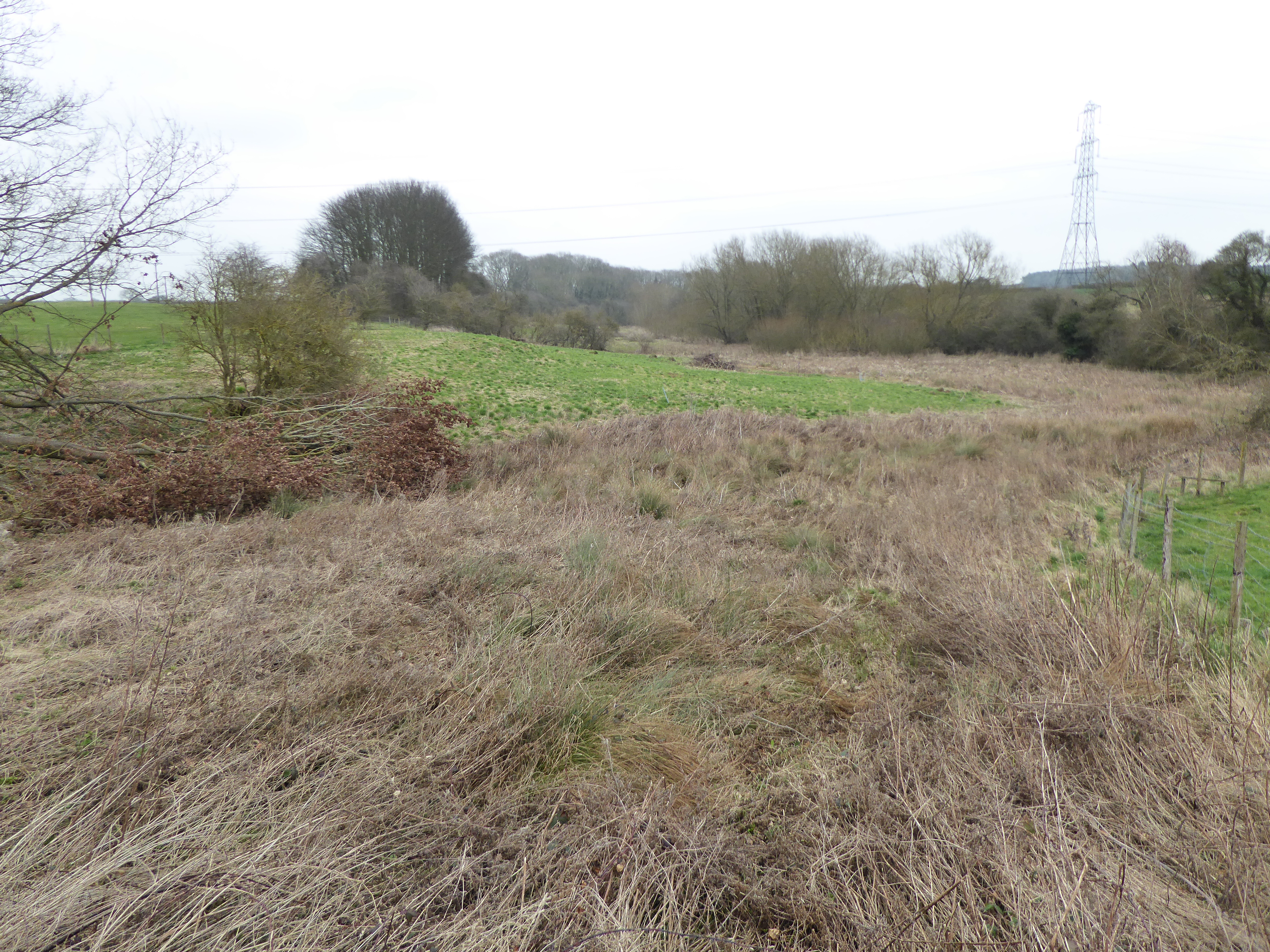
Birch Spinney and Mawsley Marsh
Birch Spinney and Mawsley Marsh is a 12.3-hectare (30-acre) biological Site of Special Scientific Interest north-west of Broughton in Northamptonshire...
Mawsley
Mawsley is a newly built village and civil parish in North Northamptonshire, England. At the time of the 2011 census, the parish had a population of 2...
Nearby Amenities
Located within 500m of 52.388464,-0.78021468Have you been to Allotment Spinney?
Leave your review of Allotment Spinney below (or comments, questions and feedback).