East Hyde
Settlement in Bedfordshire
England
East Hyde

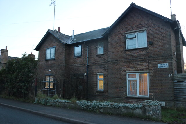
East Hyde is a small village located in the county of Bedfordshire, England. Situated approximately 2 miles southeast of Luton, it falls within the administrative boundaries of the South Bedfordshire District Council. The village is nestled between the A5 road and the M1 motorway, providing easy access to nearby towns and cities.
East Hyde is known for its picturesque countryside surroundings, with rolling hills and open fields dominating the landscape. The village is primarily residential, with a population of around 500 inhabitants. It boasts a close-knit community, where residents enjoy a peaceful and tranquil atmosphere.
There are limited amenities within the village itself, with a small convenience store catering to the basic needs of the locals. However, larger supermarkets and a wider range of shops can be found in nearby Luton. The village is served by a regular bus service, connecting it to neighboring towns.
Education in East Hyde is provided by nearby schools, with a primary school located in the neighboring village of Hyde. There are also several secondary schools within a short distance, ensuring that children in the area have access to quality education.
For those seeking outdoor activities, East Hyde offers beautiful countryside walks and cycling routes. The village is surrounded by nature reserves, providing opportunities for wildlife spotting and birdwatching. Additionally, the nearby Dunstable Downs offer stunning views of the surrounding area and are a popular location for outdoor enthusiasts.
Overall, East Hyde is a charming village that offers a peaceful countryside lifestyle, while still being within easy reach of larger towns and cities. It is a place where residents can enjoy the best of both worlds - the tranquility of rural living and the convenience of urban amenities.
If you have any feedback on the listing, please let us know in the comments section below.
East Hyde Images
Images are sourced within 2km of 51.845116/-0.363777 or Grid Reference TL1217. Thanks to Geograph Open Source API. All images are credited.


East Hyde is located at Grid Ref: TL1217 (Lat: 51.845116, Lng: -0.363777)
Unitary Authority: Central Bedfordshire
Police Authority: Bedfordshire
What 3 Words
///stable.flown.little. Near Harpenden, Hertfordshire
Nearby Locations
Related Wikis

East Hyde
East Hyde is a village in the civil parish of Hyde, in the Central Bedfordshire district, in the ceremonial county of Bedfordshire, England. East Hyde...

Hyde, Bedfordshire
Hyde (also known as The Hyde) is a civil parish in the county of Bedfordshire. It lies just south-east of Luton. Most of the land to the west of the River...

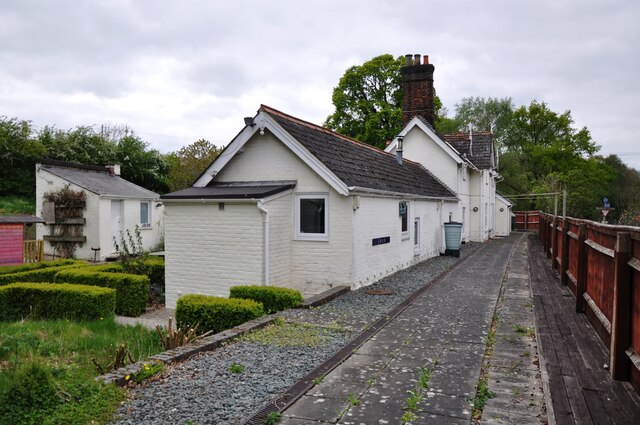
Chiltern Green railway station
Chiltern Green railway station was built by the Midland Railway in 1868 on its extension to St. Pancras. The station was located in New Mill End but took...
New Mill End
New Mill End is a hamlet located in Bedfordshire, England, close to county border with Hertfordshire. It is in the civil parish of Hyde, Bedfordshire New...

Luton Hoo railway station
Luton Hoo railway station was built by the Hertford, Luton & Dunstable Railway on the branch line between Hatfield and Dunstable. It opened in 1860 and...
The King's School (Harpenden)
The King's School, Harpenden is a co-educational independent school for pupils aged four to sixteen, located to the north of Harpenden in Hertfordshire...
Chiltern Green
Chiltern Green is a hamlet located in Bedfordshire, England. It is in the civil parish of Hyde. The settlement lent its name to Chiltern Green railway...
Bower Heath
Bower Heath is a hamlet in Hertfordshire, England. It is in the civil parish of Harpenden
Nearby Amenities
Located within 500m of 51.845116,-0.363777Have you been to East Hyde?
Leave your review of East Hyde below (or comments, questions and feedback).