Claypit Wood

Wood, Forest in Surrey Waverley

England

Claypit Wood

Old Milestone, was on A287, Folly Hill, near Farnham Park Golf Club The milestone was located on Folly Hill, 170 m North of the entrance to Farnham Park golf club, on the West side of the road in the hedge. Parish of Farnham (Waverley district). Carved stone post, Odiham stone design, erected by the Odiham & Farnham turnpike trust in the 18th century. 

Inscription read:            FROM / ODIHAM / 7 / MILES / TO / FARNHAM / ½ / MILES

The milestone is now missing. The date of the image is not known but is probably before 2001.

Milestone Society National ID: SY_ODFA07
Old Milestone, was on A287, Folly Hill, near Farnham Park Golf Club Credit: Derek Renn

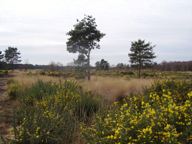
Claypit Wood is a picturesque woodland located in Surrey, England. Covering an area of approximately 50 acres, this enchanting forest is a popular destination for nature enthusiasts and hikers alike. The wood is situated near the village of Normandy, just a short distance from Guildford.

As its name suggests, Claypit Wood was historically used for clay extraction, and remnants of old pits can still be seen today. The woodland boasts a diverse range of tree species, including oak, birch, beech, and pine, creating a rich and vibrant ecosystem.

Visitors to Claypit Wood are treated to a tranquil and serene environment. The woodland is home to an array of wildlife, including deer, foxes, squirrels, and a wide variety of bird species such as woodpeckers and owls. The peaceful atmosphere and secluded pathways provide the perfect setting for a peaceful stroll or a quiet picnic.

The wood features a network of well-maintained trails, allowing visitors to explore its beauty at their own pace. These paths wind through the forest, offering glimpses of stunning wildflowers and providing opportunities for birdwatching and nature photography.

Claypit Wood is especially popular during the spring and summer months when the forest comes alive with vibrant colors and the air is filled with the sweet scent of blossoming flowers. Whether it's a leisurely walk or an adventurous hike, this enchanting woodland offers a slice of nature's beauty for all to enjoy.

If you have any feedback on the listing, please let us know in the comments section below.
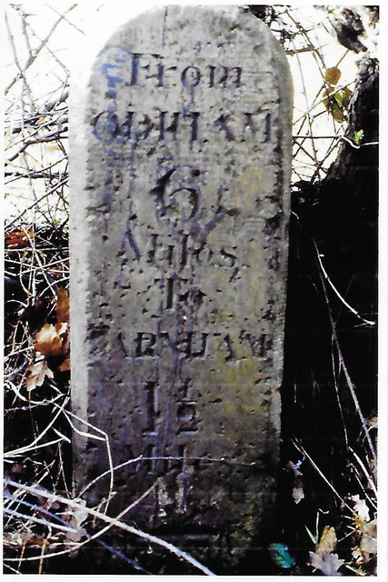
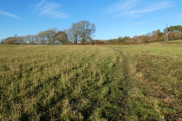
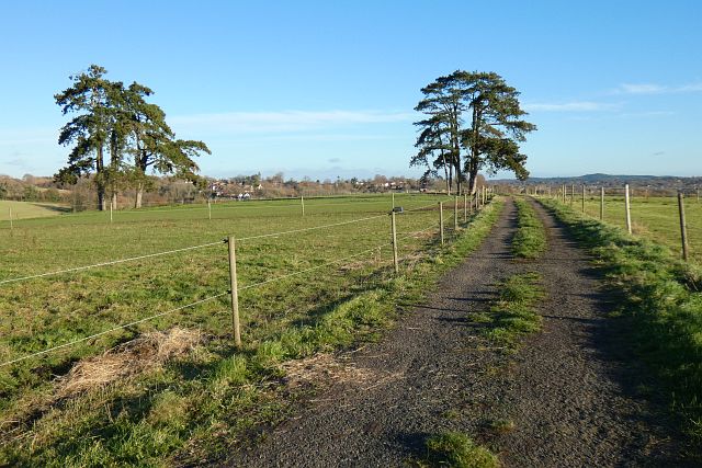
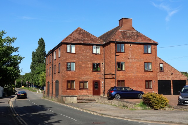
Claypit Wood Images

Images are sourced within 2km of 51.22173/-0.81783114 or Grid Reference SU8247. Thanks to Geograph Open Source API. All images are credited.

Old Milestone, was on A287, Folly Hill, near Farnham Park Golf Club The milestone was located on Folly Hill, 170 m North of the entrance to Farnham Park golf club, on the West side of the road in the hedge. Parish of Farnham (Waverley district). Carved stone post, Odiham stone design, erected by the Odiham & Farnham turnpike trust in the 18th century. 

Inscription read:            FROM / ODIHAM / 7 / MILES / TO / FARNHAM / ½ / MILES

The milestone is now missing. The date of the image is not known but is probably before 2001.

Milestone Society National ID: SY_ODFA07
Old Milestone, was on A287, Folly Hill, near Farnham Park Golf Club
The milestone was located on Folly Hill, 170 m North of the entrance to Farnham Park golf club, on the West side of the road in the hedge. Parish of Farnham (Waverley district). Carved stone post, Odiham stone design, erected by the Odiham & Farnham turnpike trust in the 18th century. Inscription read: FROM / ODIHAM / 7 / MILES / TO / FARNHAM / ½ / MILES The milestone is now missing. The date of the image is not known but is probably before 2001. Milestone Society National ID: SY_ODFA07
Old Milestone, A287, Folly Hill, Upper Hale The milestone is located 50m north of the junction with Heathyfields Road on the West side of the road in the hedge. Parish of Farnham (Waverley district). Carved stone post, Odiham stone design, erected by the Odiham & Farnham turnpike trust in the 18th century.

Inscription reads:-          FROM / ODIHAM / 6 / MILES / TO / FARNHAM / 1½ / MILES

The date of the image is not known but is probably before 2001.

Milestone Society National ID: SY_ODFA06
Old Milestone, A287, Folly Hill, Upper Hale
The milestone is located 50m north of the junction with Heathyfields Road on the West side of the road in the hedge. Parish of Farnham (Waverley district). Carved stone post, Odiham stone design, erected by the Odiham & Farnham turnpike trust in the 18th century. Inscription reads:- FROM / ODIHAM / 6 / MILES / TO / FARNHAM / 1½ / MILES The date of the image is not known but is probably before 2001. Milestone Society National ID: SY_ODFA06
Lower Old Park Farmhouse -
Lower Old Park Farmhouse
-
Farmland, Crondall A footpath crosses this recently grazed field to the west of Dora's Green.
Farmland, Crondall
A footpath crosses this recently grazed field to the west of Dora's Green.
Pasture, Farnham A footpath crosses this field at Lower Old Park having exited Pond Copse, the eastern extension of which is on the left.
Pasture, Farnham
A footpath crosses this field at Lower Old Park having exited Pond Copse, the eastern extension of which is on the left.
Track and pasture, Farnham A footpath heading towards the western edge of the town from Dippenhall passes through paddocks grazed by equines.
Track and pasture, Farnham
A footpath heading towards the western edge of the town from Dippenhall passes through paddocks grazed by equines.
Oast House Single round kiln oast house (hop kiln). Missing kiln roof.

Grade II listed.
Oast House
Single round kiln oast house (hop kiln). Missing kiln roof. Grade II listed.
The Borough, Farnham
Looking north north-east from Farnham Castle Keep
Looking east south-east from Farnham Castle Keep
Looking south south-west from Farnham Castle Keep
Pasture, Farnham Looking down from the footpath to the east of Dippenhall.
Pasture, Farnham
Looking down from the footpath to the east of Dippenhall.
Farmland, Farnham A footpath approaching Middle Old Park from the south through a crop of stubble turnips.
Farmland, Farnham
A footpath approaching Middle Old Park from the south through a crop of stubble turnips.
Pasture, Farnham Looking down from the bridleway below Upper Old Park.
Pasture, Farnham
Looking down from the bridleway below Upper Old Park.
Armsworth Way, Farnham Viewed from Reeve Drive, part of a new development on the edge of Hale.
Armsworth Way, Farnham
Viewed from Reeve Drive, part of a new development on the edge of Hale.
College Gardens: November 2022
Plaque in College Gardens
Show me another place!

Claypit Wood is located at Grid Ref: SU8247 (Lat: 51.22173, Lng: -0.81783114)

Administrative County: Surrey

District: Waverley

Police Authority: Surrey

What 3 Words

///cars.reclined.others. Near Farnham, Surrey

Nearby Locations

Claypit Wood

Related Wikis

Guildford School of Art

Guildford School of Art was formed in 1856 as Guildford Working Men's Institution and was one of several schools of art run by Surrey County Council. After...

Surrey Institute of Art & Design, University College

Surrey Institute of Art & Design, University College (SIAD) was an art college in the United Kingdom from 1994 to 2005. It was formed from the merger of...

Storming of Farnham Castle

The Storming of Farnham Castle occurred on 1 December 1642, during the early stages of the First English Civil War, when a Parliamentarian force attacked...
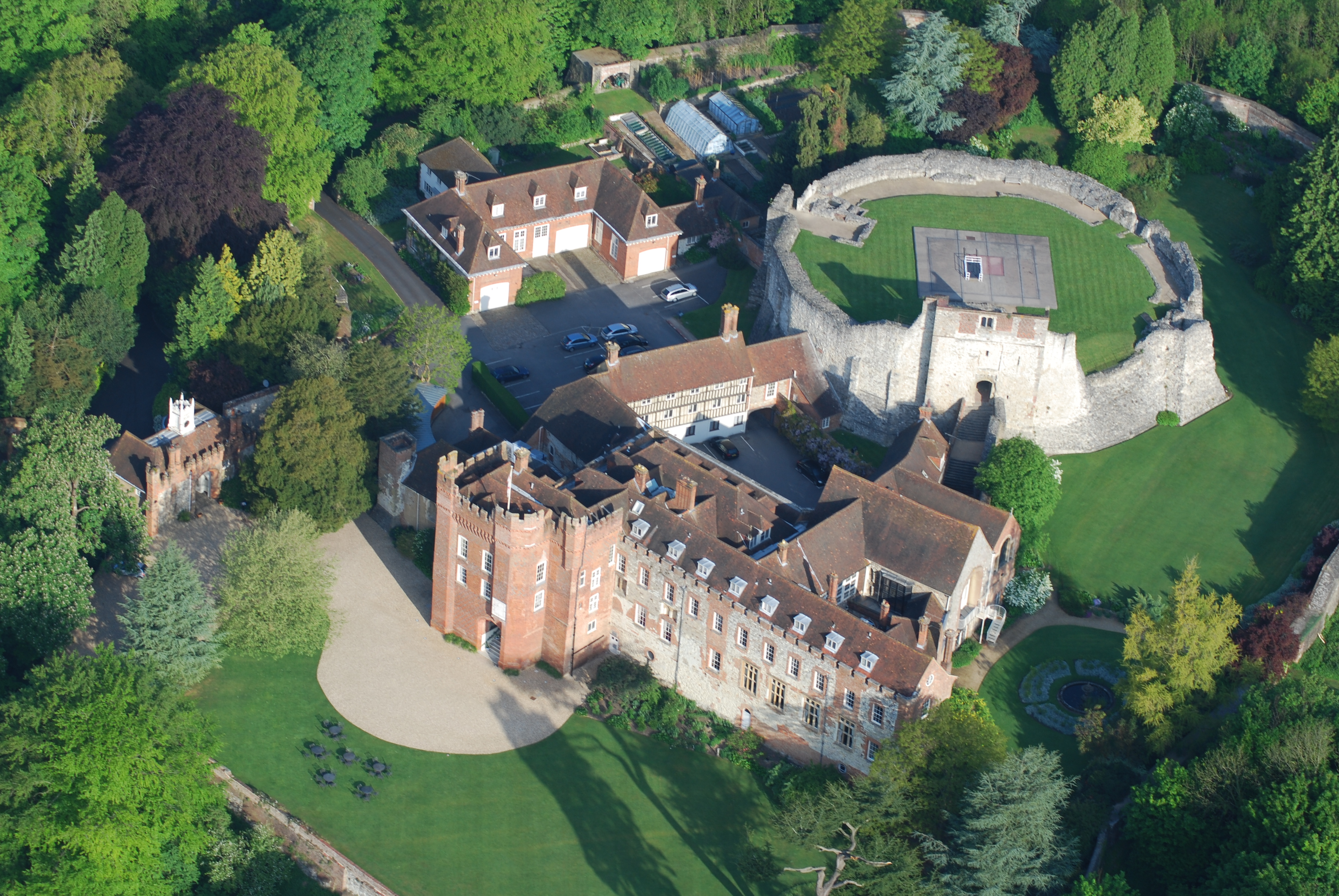
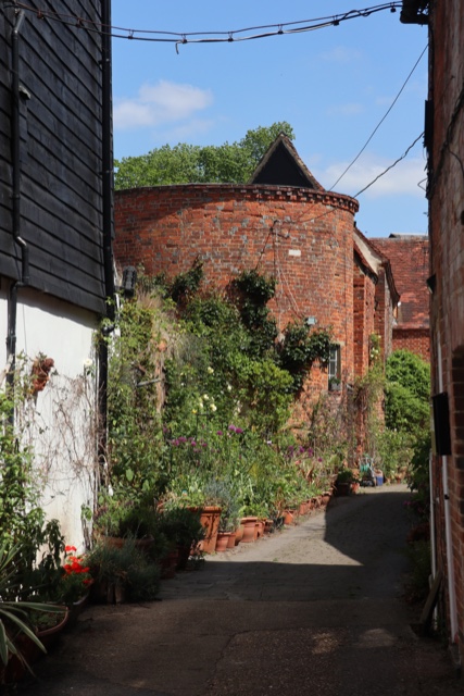
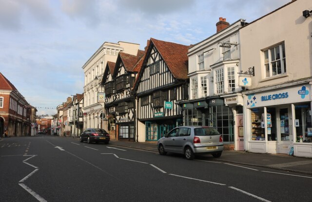
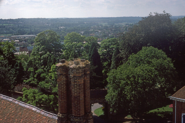
Farnham Castle

Farnham Castle is a 12th-century castle in Farnham, Surrey, England. It was formerly the residence of the Bishops of Winchester. == History == Built in...

Crafts Study Centre

The Crafts Study Centre is a university museum of modern crafts, located next to the entrance of the University for the Creative Arts at Farnham, Surrey...

Castle Bottom to Yateley and Hawley Commons

Castle Bottom to Yateley and Hawley Commons is a 922.7-hectare (2,280-acre) biological Site of Special Scientific Interest north of Fleet in Hampshire...

Willmer House

Willmer House is a grade I listed building in Farnham, Surrey, in England. Built in 1718 for a local hop merchant the building later became a school and...

Farnham Town F.C.

Farnham Town Football Club is a semi-professional football club based in Farnham, Surrey, England. They are currently members of the Combined Counties...

Nearby Amenities

Located within 500m of 51.22173,-0.81783114
Middle Old Park
Building: residential
Source: npe;sign
Lat/Long: 51.2236981/-0.8233686
Farnham Castle Stables
Landuse: farm
Note Retag: CS #48756035
Source: OS_OpenData_StreetView
Lat/Long: 51.2218166/-0.815048
Barrier: kissing_gate
Lat/Long: 51.2232957/-0.8227442
The data included in this document is from www.openstreetmap.org. The data is made available under ODbL.

Have you been to Claypit Wood?

Leave your review of Claypit Wood below (or comments, questions and feedback).