Baylis Wood
Wood, Forest in Yorkshire
England
Baylis Wood

Baylis Wood is a picturesque forest located in the county of Yorkshire, England. Situated in the northern part of the county, this woodland covers an area of approximately 100 acres. The forest is known for its diverse range of trees, including oak, beech, and birch, which create a beautiful and serene environment.
The wood is a popular destination for nature lovers and outdoor enthusiasts, offering various activities such as hiking, birdwatching, and photography. The well-maintained trails within the forest provide an opportunity for visitors to explore the natural beauty of the area and discover its abundant flora and fauna.
Baylis Wood is also home to a rich wildlife population. Visitors may encounter a variety of animals, including deer, foxes, rabbits, and numerous bird species. The forest provides a natural habitat for these creatures, offering them a safe and peaceful environment away from human disturbances.
In addition to its natural beauty, Baylis Wood holds historical significance. It is believed that the wood has existed for hundreds of years and has witnessed various changes throughout history. Some parts of the forest are even designated as protected areas due to their historical and ecological importance.
Overall, Baylis Wood is a captivating destination for nature enthusiasts, offering a tranquil escape from the bustling city life. With its diverse array of trees, abundant wildlife, and historical significance, this woodland provides a unique and memorable experience for visitors of all ages.
If you have any feedback on the listing, please let us know in the comments section below.
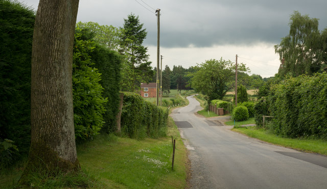
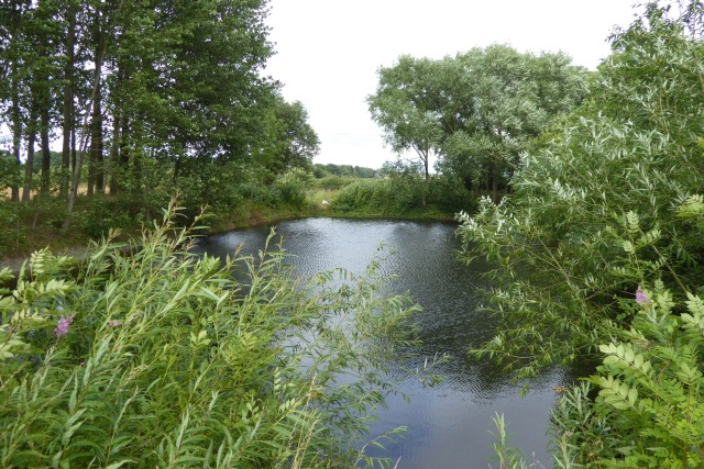
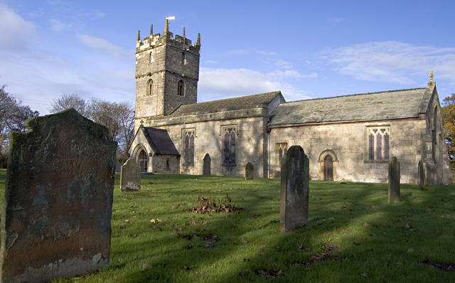
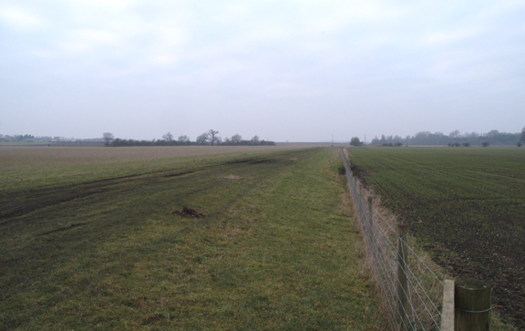
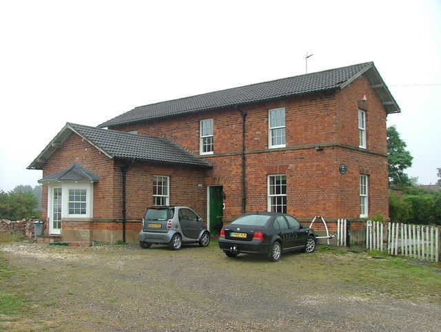
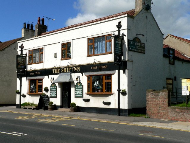
Baylis Wood Images
Images are sourced within 2km of 53.882436/-0.74635905 or Grid Reference SE8243. Thanks to Geograph Open Source API. All images are credited.


Baylis Wood is located at Grid Ref: SE8243 (Lat: 53.882436, Lng: -0.74635905)
Division: East Riding
Unitary Authority: East Riding of Yorkshire
Police Authority: Humberside
What 3 Words
///turntable.makes.swanky. Near Hayton, East Yorkshire
Nearby Locations
Related Wikis

Thorpe le Street
Thorpe le Street is a hamlet and former civil parish, now in the parish of Hayton, in the East Riding of Yorkshire, England. It is situated approximately...
Hayton, East Riding of Yorkshire
Hayton is a village and civil parish in the East Riding of Yorkshire, England. It is situated approximately 2 miles (3 km) south of the market town of...
Londesborough Park railway station
Londesborough Park railway station was a short-lived private station on the York to Beverley Line at Londesborough in the East Riding of Yorkshire, England...

Everingham
Everingham is a village in the East Riding of Yorkshire, England. It is 5 miles (8 km) west of Market Weighton town centre and 4 miles (6 km) south of...

Ss Mary & Everilda, Everingham
The Chapel of St. Mary the Virgin and St. Everilda, in the village of Everingham in the East Riding of Yorkshire, England, is an impressive Italianate...
Londesborough railway station
Londesborough railway station was a station on the York to Beverley Line in the East Riding of Yorkshire, England. It opened on 4 October 1847 and served...
Shiptonthorpe
Shiptonthorpe is a village and civil parish in the East Riding of Yorkshire, England. It is situated approximately 5 miles (8 km) south-east of the market...

Harswell
Harswell is a village and former civil parish, now in the parish of Everingham, in the East Riding of Yorkshire, England. It is approximately 3.5 miles...
Nearby Amenities
Located within 500m of 53.882436,-0.74635905Have you been to Baylis Wood?
Leave your review of Baylis Wood below (or comments, questions and feedback).