Bluebell Wood

Wood, Forest in Leicestershire Melton

England

Bluebell Wood

Knipton, All Saints
Knipton, All Saints Credit: Dave Kelly

Bluebell Wood is a picturesque woodland located in Leicestershire, England. Covering approximately 20 acres, it is a beautiful example of a British woodland and is renowned for its stunning display of bluebells during the spring season.

The woodland is composed of a mixture of broadleaf trees, including oak, beech, and birch, which create a dense canopy overhead. This provides a cool and shady environment, perfect for a peaceful walk or picnic on a warm summer's day. The forest floor is covered with a thick carpet of bluebells, creating a mesmerizing sea of vibrant blue flowers that stretch as far as the eye can see.

Bluebell Wood is home to a diverse range of wildlife, including birds such as woodpeckers, tawny owls, and warblers. The woodland also provides a habitat for small mammals like squirrels, rabbits, and foxes. Nature enthusiasts can often spot these creatures scurrying through the undergrowth or hear the melodic songs of the birds echoing through the trees.

The wood is a popular destination for nature lovers and photographers, who are drawn to its natural beauty and tranquil atmosphere. Visitors can explore the network of well-maintained paths that wind their way through the woodland, allowing for easy access to the various viewpoints and picnic spots. There is also a small visitor center, providing information about the woodland and its inhabitants.

Bluebell Wood is a true gem of Leicestershire, offering a peaceful retreat from the hustle and bustle of everyday life. Its enchanting bluebells, diverse wildlife, and serene surroundings make it a must-visit destination for anyone seeking a connection with nature.

If you have any feedback on the listing, please let us know in the comments section below.

Bluebell Wood Images

Images are sourced within 2km of 52.858218/-0.7761612 or Grid Reference SK8229. Thanks to Geograph Open Source API. All images are credited.

Knipton, All Saints
Knipton, All Saints
Church of St Botolph and St John the Baptist, Croxton Kerrial 15th C. church restored in 1866-68 by Scott. Has a central tower (although more eastern than central) on diagonal stepped buttresses with 8 pinnacles. 
North and south aisles with 3 bay arcades and clerestories. 
The pews date from 1534 when they were donated by Croxton Abbey at the time of dissolution. There are 42 unique pew ends.
The organ is by Nicholson of Worcester 1849.
There is no stained glass.
Church of St Botolph and St John the Baptist, Croxton Kerrial
15th C. church restored in 1866-68 by Scott. Has a central tower (although more eastern than central) on diagonal stepped buttresses with 8 pinnacles. North and south aisles with 3 bay arcades and clerestories. The pews date from 1534 when they were donated by Croxton Abbey at the time of dissolution. There are 42 unique pew ends. The organ is by Nicholson of Worcester 1849. There is no stained glass.
Croxton Lane leaving Croxton Kerrial Heading north to Knipton
Croxton Lane leaving Croxton Kerrial
Heading north to Knipton
Junction of Croxton Lane and Croxton Lane The main Croxton Lane goes to Knipton, and the Croxton Lane to the right goes to Harston
Junction of Croxton Lane and Croxton Lane
The main Croxton Lane goes to Knipton, and the Croxton Lane to the right goes to Harston
Track up the side of Croxton Banks wood The 'bank' is the face of the escarpment of Jurassic limestones and ironstones on which Croxton Kerrial sits
Track up the side of Croxton Banks wood
The 'bank' is the face of the escarpment of Jurassic limestones and ironstones on which Croxton Kerrial sits
Footpath to Croxton Kerrial The path crosses the wheat field, passes through the edge of Harston Wood, and then onto the top of the escarpment
Footpath to Croxton Kerrial
The path crosses the wheat field, passes through the edge of Harston Wood, and then onto the top of the escarpment
The Manners Arms, Knipton Pub and restaurant occupying an early 19th century Listed Grade II house. The Manners family hold the Dukedom of Rutland, and are resident at Belvoir Castle. To  the disappointment of this parched walker the pub was closed "Due to unforseen [sic] circumstances"
The Manners Arms, Knipton
Pub and restaurant occupying an early 19th century Listed Grade II house. The Manners family hold the Dukedom of Rutland, and are resident at Belvoir Castle. To the disappointment of this parched walker the pub was closed "Due to unforseen [sic] circumstances"
Main Street, Knipton A restored 19th century village pump in the foreground.
Main Street, Knipton
A restored 19th century village pump in the foreground.
Branston Lane passing the entrance to Keeper's Cottage The lane takes Cycle Route 64 past Knipton Reservoir, but views of the reservoir are limited
Branston Lane passing the entrance to Keeper's Cottage
The lane takes Cycle Route 64 past Knipton Reservoir, but views of the reservoir are limited
View north-east of Branston Looking along the route of a bridleway to Croxton Lodge
View north-east of Branston
Looking along the route of a bridleway to Croxton Lodge
Track up to the A607, west of Croxton Kerrial During the driest July for over a hundred years, the rare sound of running water. The stream by the side of the path comes from Croxton Kerrial's famous spring-fed water spout <a href="https://www.geograph.org.uk/photo/30072">SK8328 : Water spout, Croxton Kerrial</a>. The spring emerges at the base of the Lincolnshire Limestone, and the miniature waterfall on the right is formed from tuffa.
Track up to the A607, west of Croxton Kerrial
During the driest July for over a hundred years, the rare sound of running water. The stream by the side of the path comes from Croxton Kerrial's famous spring-fed water spout SK8328 : Water spout, Croxton Kerrial. The spring emerges at the base of the Lincolnshire Limestone, and the miniature waterfall on the right is formed from tuffa.
View over the valley of the River Devon near Croxton Kerrial Croxton Kerrial sits on the left of the horizon. If the Roman road, the Salt Way, ran as an uninterrupted straight line to the south of Croxton Kerrial (rather than along the line of the current A607 through the village), as is suggested by some sources <span class="nowrap"><a title="https://archaeologydataservice.ac.uk/archives/view/romangl/map.html" rel="nofollow ugc noopener" href="https://archaeologydataservice.ac.uk/archives/view/romangl/map.html">Link</a><img style="margin-left:2px;" alt="External link" title="External link - shift click to open in new window" src="https://s1.geograph.org.uk/img/external.png" width="10" height="10"/></span> , it would have been along the line of this view. It would still have had to cross the valley, but possibly with an easier gradient.
View over the valley of the River Devon near Croxton Kerrial
Croxton Kerrial sits on the left of the horizon. If the Roman road, the Salt Way, ran as an uninterrupted straight line to the south of Croxton Kerrial (rather than along the line of the current A607 through the village), as is suggested by some sources LinkExternal link , it would have been along the line of this view. It would still have had to cross the valley, but possibly with an easier gradient.
The A607 east of Lings Hill Continuing the straight line of the Salt Way in the direction of Croxton Kerrial.
The A607 east of Lings Hill
Continuing the straight line of the Salt Way in the direction of Croxton Kerrial.
Goosey goosey wander Wonder what the future holds for these geese?

Not good!
<span class="nowrap"><a title="http://www.freerangebirds.co.uk/" rel="nofollow ugc noopener" href="http://www.freerangebirds.co.uk/">Link</a><img style="margin-left:2px;" alt="External link" title="External link - shift click to open in new window" src="https://s1.geograph.org.uk/img/external.png" width="10" height="10"/></span>
Goosey goosey wander
Wonder what the future holds for these geese? Not good! LinkExternal link
The Cottage, Knipton Knipton is a Belvoir Castle estate village, and this house, distinguished by its elaborate bargeboards, is its most ambitious. Grade II listed.
On the right is the war memorial <a href="https://www.geograph.org.uk/photo/3096569">SK8231 : Knipton War Memorial</a>.
The Cottage, Knipton
Knipton is a Belvoir Castle estate village, and this house, distinguished by its elaborate bargeboards, is its most ambitious. Grade II listed. On the right is the war memorial SK8231 : Knipton War Memorial.
The end of Baulk pit, Branston This shows the furthest end of Baulk pit, Branston. This ironstone quarry was started in 1951, and abandoned in 1957. Ore was taken away on the 3 foot gauge Eastwell tramway, for transshipment into standard gauge wagons at Stathern Ironstone Siding on the Melton Mowbray - Bottesford Junction line.
The end of Baulk pit, Branston
This shows the furthest end of Baulk pit, Branston. This ironstone quarry was started in 1951, and abandoned in 1957. Ore was taken away on the 3 foot gauge Eastwell tramway, for transshipment into standard gauge wagons at Stathern Ironstone Siding on the Melton Mowbray - Bottesford Junction line.
Baulk pit, Branston A general view of this quarry, abandoned in 1957, near its end. The working face, from which iron ore was about to be extracted, is on the right.
Baulk pit, Branston
A general view of this quarry, abandoned in 1957, near its end. The working face, from which iron ore was about to be extracted, is on the right.
Working face, Baulk pit, Branston A working face of Baulk pit, Branston, an ironstone quarry abandoned in 1957. The top layer of soil has been removed and put aside for use in restoration, and the ironstone is exposed ready for excavation.
Working face, Baulk pit, Branston
A working face of Baulk pit, Branston, an ironstone quarry abandoned in 1957. The top layer of soil has been removed and put aside for use in restoration, and the ironstone is exposed ready for excavation.
Show me another place!

Bluebell Wood is located at Grid Ref: SK8229 (Lat: 52.858218, Lng: -0.7761612)

Administrative County: Leicestershire

District: Melton

Police Authority: Leicestershire

What 3 Words

///fishnet.towers.screen. Near Barrowby, Lincolnshire

Nearby Locations

Bluebell Wood

Related Wikis

Croxton Kerrial

Croxton Kerrial (pronounced [ˈkroʊsən ˈkɛrɨl]) is a village and civil parish in the Melton borough of Leicestershire, England, 6.6 miles (10.6 km) south...

Croxton Abbey

Croxton Abbey, near Croxton Kerrial, Leicestershire, was a Premonstratensian monastery founded by William I, Count of Boulogne. == History == Croxton Abbey...

Branston, Leicestershire

Branston is a village and former civil parish, now in the parish of Croxton Kerrial in the Melton district, in the county of Leicestershire, England. It...

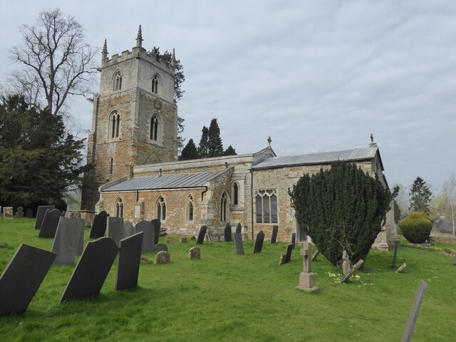
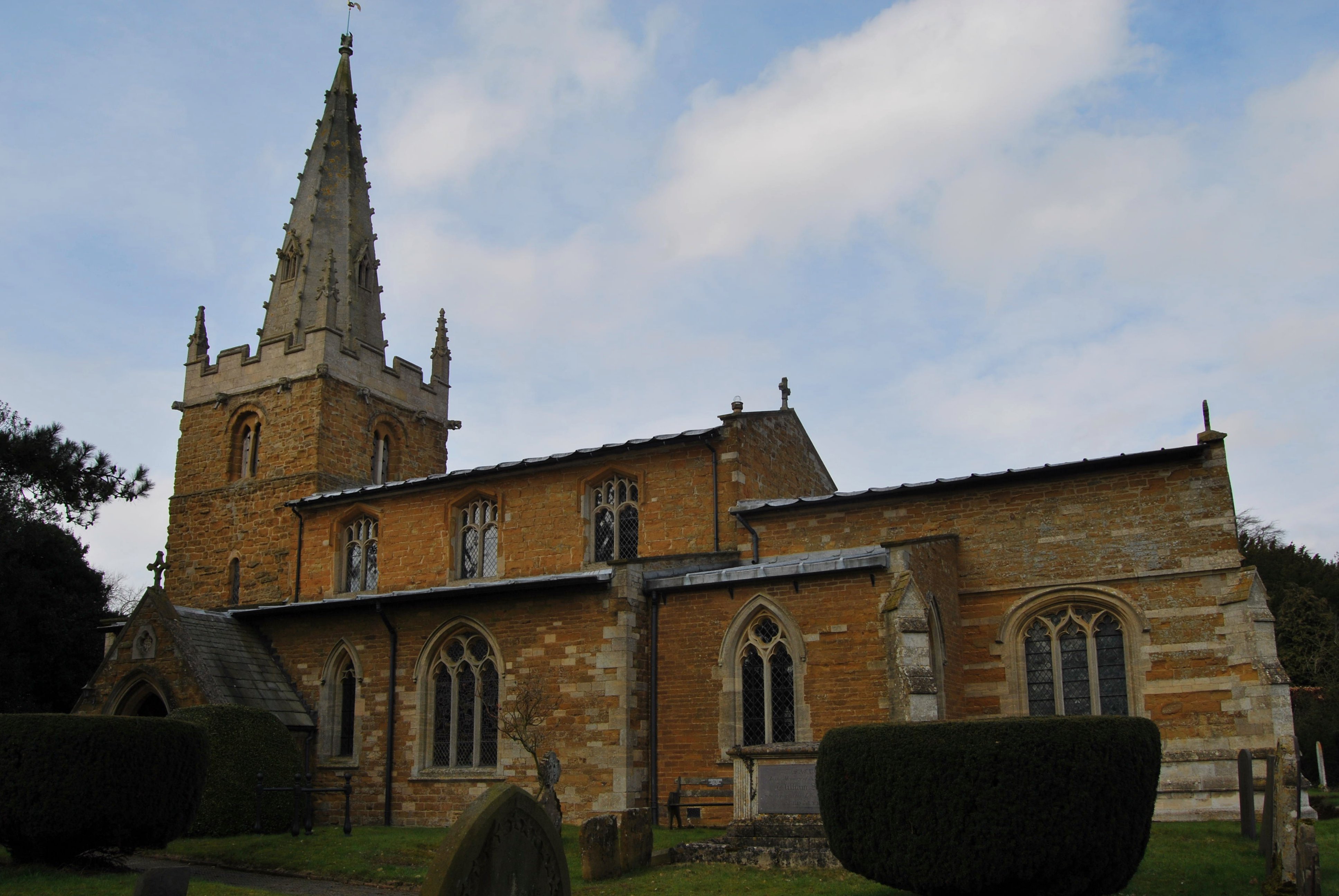
St Guthlac's Church, Branston

St Guthlac's Church is a church in Branston, Leicestershire. It is a Grade II* listed building. == History == The church dates from the 13th century but...
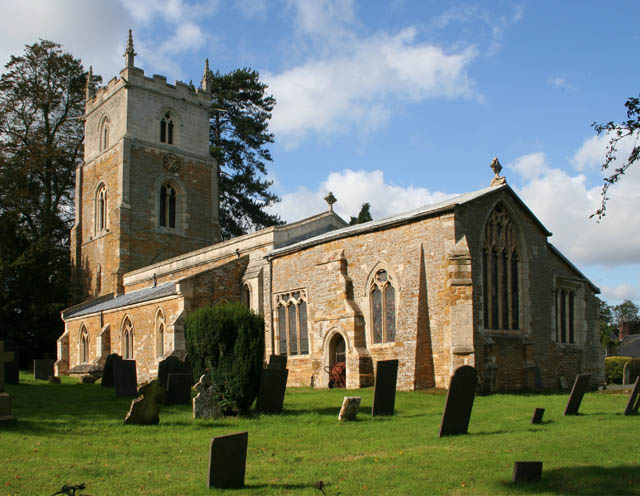
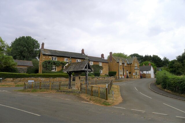
Knipton

Knipton is a village and former civil parish, now in the parish of Belvoir, in the Melton district, in the county of Leicestershire, England. It lies about...
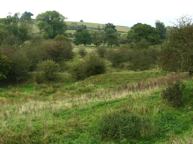
Croxton Park

Croxton Park is a 97.3-hectare (240-acre) biological Site of Special Scientific Interest south-west of Croxton Kerrial in Leicestershire.This medieval...

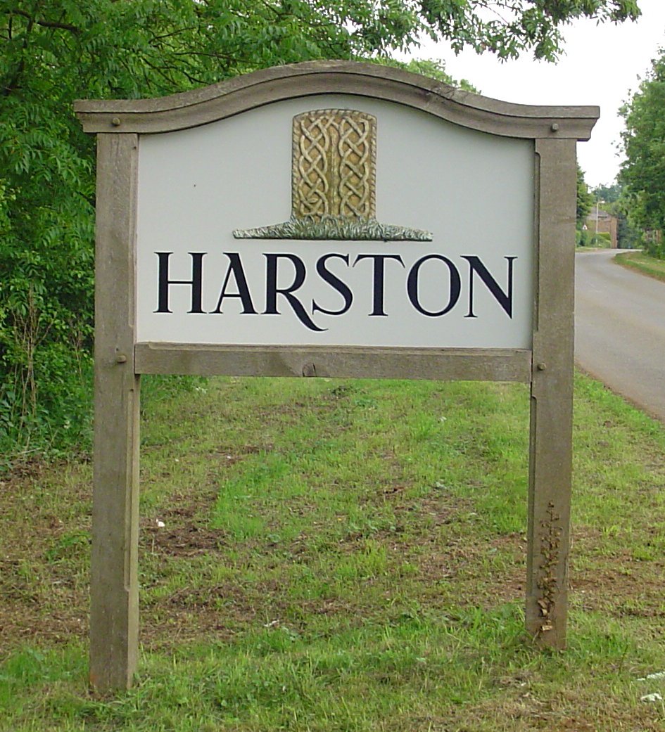
Harston, Leicestershire

Harston is a crossroads village and former civil parish, now in the parish of Belvoir, in the Melton district, in Leicestershire, England, near the border...

Waltham Iron Ore Tramway

The Waltham Iron Ore Tramway was a 1,000 mm (3 ft 3+3⁄8 in) gauge industrial tramway serving the ironstone pits of the Waltham Iron Ore Company, a subsidiary...

Nearby Amenities

Located within 500m of 52.858218,-0.7761612
Power: pole
Lat/Long: 52.8579837/-0.7714215
Power: pole
Lat/Long: 52.8600598/-0.7746697
Power: pole
Lat/Long: 52.8613942/-0.7771051
Power: pole
Lat/Long: 52.8566314/-0.7702279
Power: pole
Lat/Long: 52.8620905/-0.776912
Power: pole
Lat/Long: 52.8593586/-0.7735968
Power: pole
Lat/Long: 52.8559398/-0.7698873
Power: pole
Lat/Long: 52.8607691/-0.7758203
Power: pole
Lat/Long: 52.8586655/-0.7725185
Power: pole
Lat/Long: 52.8574832/-0.7709494
The data included in this document is from www.openstreetmap.org. The data is made available under ODbL.

Have you been to Bluebell Wood?

Leave your review of Bluebell Wood below (or comments, questions and feedback).