Cold Overton Park Wood

Wood, Forest in Leicestershire Melton

England

Cold Overton Park Wood

Cold Overton, St John the Baptist
Cold Overton, St John the Baptist Credit: Dave Kelly

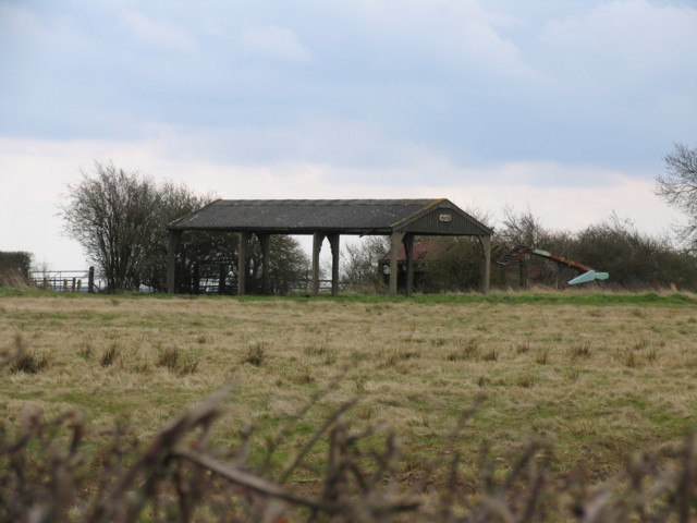
Cold Overton Park Wood is a beautiful woodland located in the county of Leicestershire, England. It covers an area of approximately 12 hectares and is situated near the village of Cold Overton. The wood is a part of the larger Cold Overton Park estate, which encompasses a variety of habitats including grasslands, ponds, and farmland.

The woodland itself is predominantly made up of broadleaf trees, such as oak, ash, and beech, creating a diverse and rich ecosystem. The dense canopy provides shelter for a wide range of wildlife, including birds, mammals, and insects. Visitors to the wood may be lucky enough to spot species such as woodpeckers, deer, and squirrels.

Cold Overton Park Wood offers a peaceful and tranquil environment for visitors to explore and enjoy nature. There are several well-maintained footpaths and trails that meander through the wood, allowing for leisurely walks and opportunities to observe the local flora and fauna. The wood is also popular among photographers and nature enthusiasts who appreciate its natural beauty.

In addition to its recreational value, Cold Overton Park Wood plays an important role in conserving biodiversity and preserving the natural heritage of Leicestershire. It is managed by local authorities and conservation organizations to ensure the protection of the woodland and its inhabitants.

Overall, Cold Overton Park Wood is a picturesque and ecologically significant woodland that offers a delightful escape into nature for visitors of all ages.

If you have any feedback on the listing, please let us know in the comments section below.

Cold Overton Park Wood Images

Images are sourced within 2km of 52.669524/-0.78389433 or Grid Reference SK8208. Thanks to Geograph Open Source API. All images are credited.

Cold Overton, St John the Baptist
Grass field near Braunston in Rutland
Trig pillar at Cold Overton Park Highest point in Rutland.
Trig pillar at Cold Overton Park
Highest point in Rutland.
Farmland near Oakham, Rutland A line of cows along the high point of the pasture. The beautiful distant view shrouded in the mist that suddenly rolled in from the east coast, a common autumn phenomenon in this part of the country.
Farmland near Oakham, Rutland
A line of cows along the high point of the pasture. The beautiful distant view shrouded in the mist that suddenly rolled in from the east coast, a common autumn phenomenon in this part of the country.
Parkwood Reservoir, near Oakham, Rutland A small reservoir on the edge of the square, next to a radio relay station and some large metal barns.
Parkwood Reservoir, near Oakham, Rutland
A small reservoir on the edge of the square, next to a radio relay station and some large metal barns.
Gated road to Barleythorpe, near Oakham, Rutland Looking SW from the Bridleway along the narrow country road. The better views are across the valley to the NE but the whole distant landscape was hidden by the mist.
Gated road to Barleythorpe, near Oakham, Rutland
Looking SW from the Bridleway along the narrow country road. The better views are across the valley to the NE but the whole distant landscape was hidden by the mist.
Coming into Cold Overton, Leicestershire Cold Overton Road from Knossington meets Somerby Road
Coming into Cold Overton, Leicestershire
Cold Overton Road from Knossington meets Somerby Road
Gates Nursery, Cold Overton A glimpse of the countryside beyond the greenhouses at this very large garden centre. Although it is so large its careful positioning on a slope facing out from the village means it doesn't dominate the tiny community. See <span class="nowrap"><a title="http://www.gatesnurseries.co.uk/" rel="nofollow ugc noopener" href="http://www.gatesnurseries.co.uk/">Link</a><img style="margin-left:2px;" alt="External link" title="External link - shift click to open in new window" src="https://s1.geograph.org.uk/img/external.png" width="10" height="10"/></span> for info on the garden centre and have a cup of tea at the lovely tea room while you are there, <span class="nowrap"><a title="http://homepage.ntlworld.com/thegalehouse/timefortea/tearooms/gates.htm" rel="nofollow ugc noopener" href="http://homepage.ntlworld.com/thegalehouse/timefortea/tearooms/gates.htm">Link</a><img style="margin-left:2px;" alt="External link" title="External link - shift click to open in new window" src="https://s1.geograph.org.uk/img/external.png" width="10" height="10"/></span>.
Gates Nursery, Cold Overton
A glimpse of the countryside beyond the greenhouses at this very large garden centre. Although it is so large its careful positioning on a slope facing out from the village means it doesn't dominate the tiny community. See LinkExternal link for info on the garden centre and have a cup of tea at the lovely tea room while you are there, LinkExternal link.
Footpath off road to Barleythorpe View to north - see <a href="https://www.geograph.org.uk/photo/65965">SK8309 : Gated road to Barleythorpe, near Oakham, Rutland</a> from same position.
Footpath off road to Barleythorpe
View to north - see SK8309 : Gated road to Barleythorpe, near Oakham, Rutland from same position.
Knossington to Oakham road Rutland boundary sign. Nothing to say that this is Leicestershire.
Knossington to Oakham road
Rutland boundary sign. Nothing to say that this is Leicestershire.
Barn near Knossington
Field and Sheep The sheep showed little interest in the photographer.
Field and Sheep
The sheep showed little interest in the photographer.
Old railway wagon top Seeing this very dilapidated railway wagon top made one wonder what farmers use instead of these now that the railways have eliminated small goods wagons.
Old railway wagon top
Seeing this very dilapidated railway wagon top made one wonder what farmers use instead of these now that the railways have eliminated small goods wagons.
Spring Farm Entrance
Farm Track
Farm Track
Ex-cattle grid Rutland Water can be seen in the distance
Ex-cattle grid
Rutland Water can be seen in the distance
Radio mast and trees The mast is in this square but everything to the right of it is in the next square <a href="https://www.geograph.org.uk/gridref/SK8208">SK8208</a> and the photographer is standing in <a href="https://www.geograph.org.uk/gridref/SK8209">SK8209</a>.
Radio mast and trees
The mast is in this square but everything to the right of it is in the next square SK8208 and the photographer is standing in SK8209.
Radio shack The border of the square appears to run through the building on the map. The radio mast is on the next square <a href="https://www.geograph.org.uk/gridref/SK8209">SK8209</a>.
Radio shack
The border of the square appears to run through the building on the map. The radio mast is on the next square SK8209.
Show me another place!

Cold Overton Park Wood is located at Grid Ref: SK8208 (Lat: 52.669524, Lng: -0.78389433)

Administrative County: Leicestershire

District: Melton

Police Authority: Leicestershire

What 3 Words

///important.animator.combos. Near Langham, Rutland

Related Wikis

Cold Overton Park

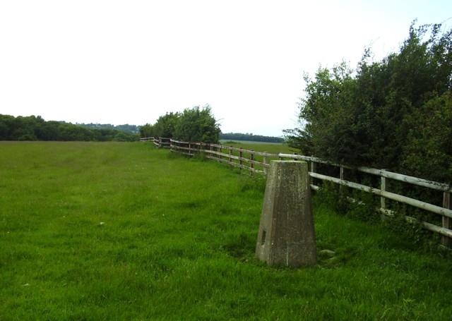
A hill with a trig point pillar to the east of Cold Overton Park Wood is, at 197 m (646 ft), the highest point in the county of Rutland, England. The summit...

Flitteriss Park

Flitteriss Park is an ancient deer park in the English Midland counties of Leicestershire and Rutland west of Oakham. It is a modern livestock farm today...

Cold Overton

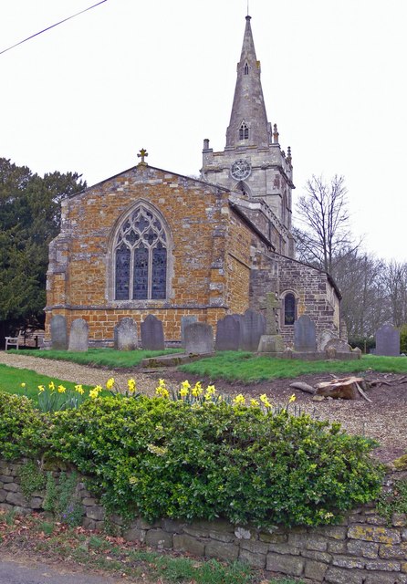
Cold Overton is a village and former civil parish, now in the parish of Knossington and Cold Overton, in the Melton district of Leicestershire, England...
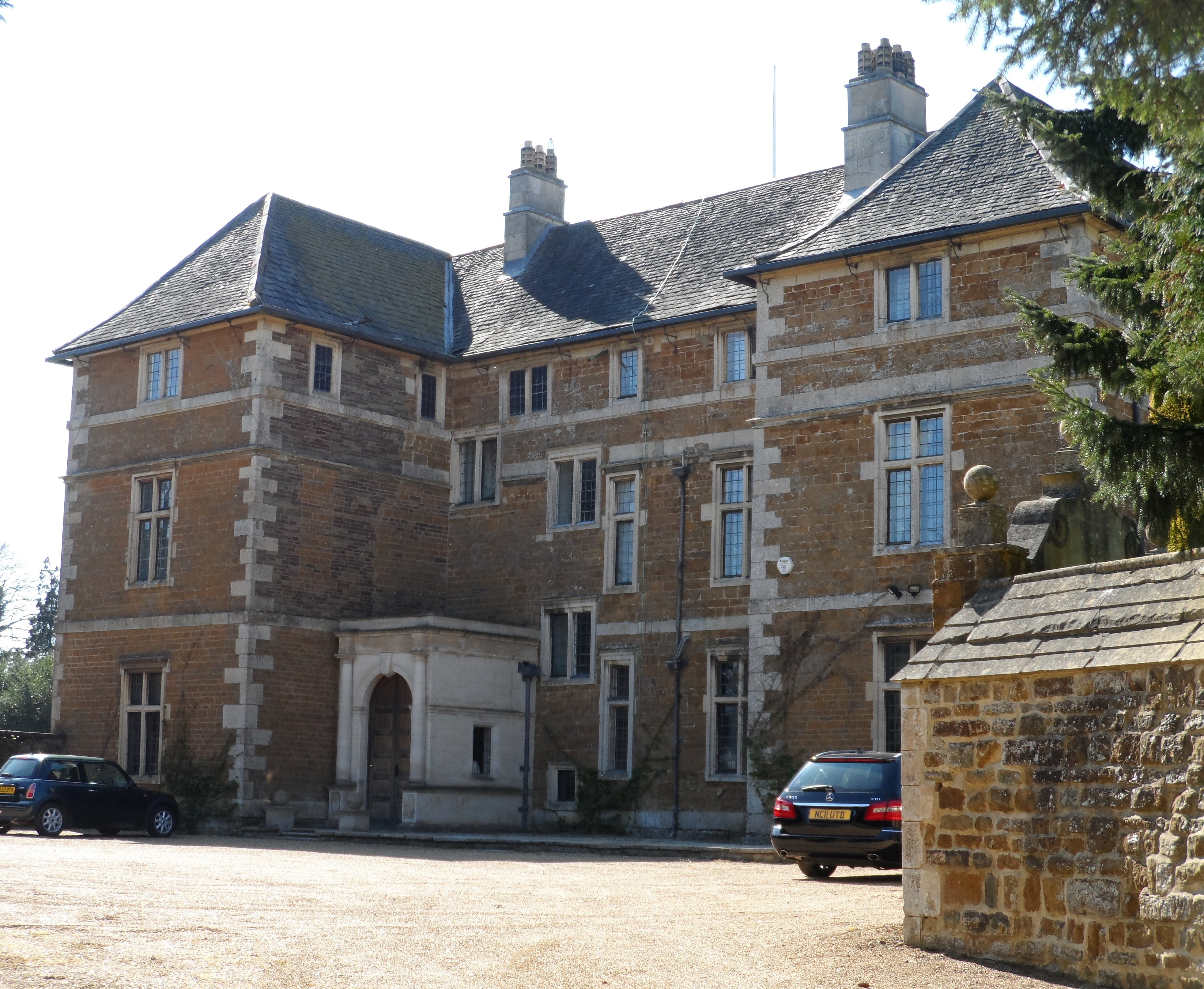
Cold Overton Hall

Cold Overton Hall is a country house in the village of Cold Overton, Leicestershire, England. Built c. 1664 for John St John, it is a Grade I listed building...

Nearby Amenities

Located within 500m of 52.669524,-0.78389433
Woodend Farm
Place: farm
Lat/Long: 52.6706426/-0.7861213
Cold Overton Park
Ele: 197
Natural: peak
Note: County high point for Rutland.
Lat/Long: 52.6681653/-0.7783062
The data included in this document is from www.openstreetmap.org. The data is made available under ODbL.

Have you been to Cold Overton Park Wood?

Leave your review of Cold Overton Park Wood below (or comments, questions and feedback).