Blue Ber Wood
Wood, Forest in Yorkshire Scarborough
England
Blue Ber Wood
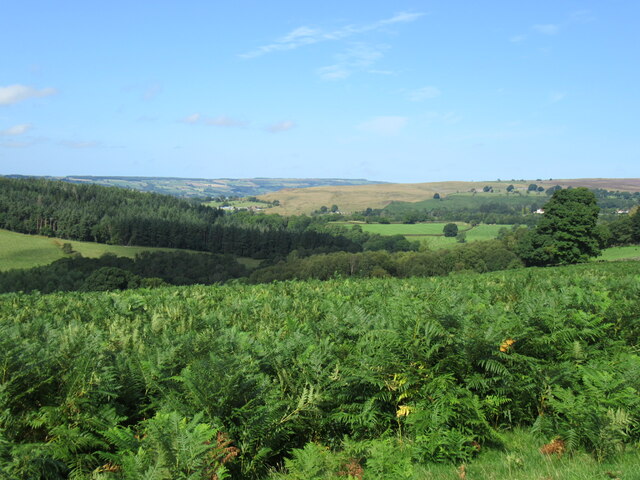
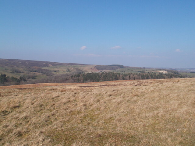
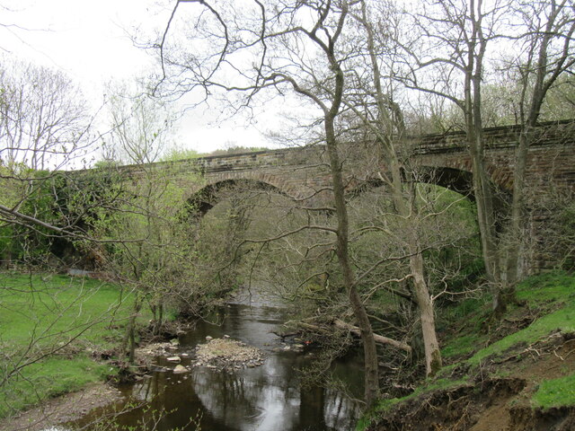
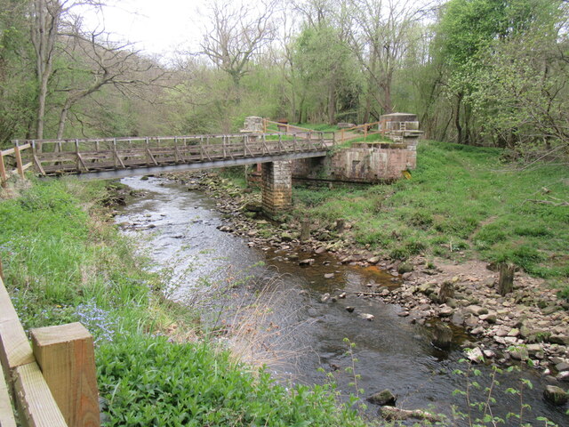
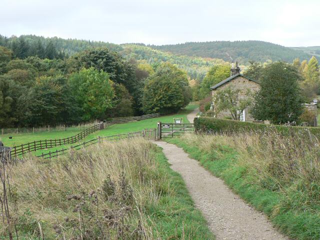
Blue Bell Wood is a picturesque woodland located in Yorkshire, England. Situated in the heart of the countryside, it covers an area of approximately 100 acres and is known for its stunning display of bluebells during the spring season. The wood is a popular destination for nature enthusiasts, photographers, and hikers who are captivated by its natural beauty.
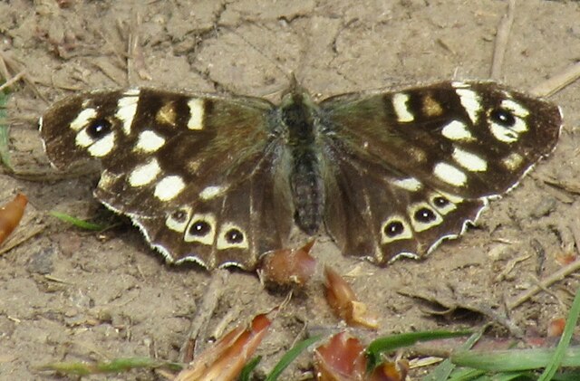
The woodland is primarily composed of native broadleaf trees, such as oak, beech, and ash, which create a dense canopy that provides shade and shelter for a variety of wildlife. The forest floor is covered in a thick carpet of bluebells, creating a stunning sea of blue when they bloom in April and May. The bluebells attract a range of insects, including butterflies and bees, which contribute to the woodland's biodiversity.
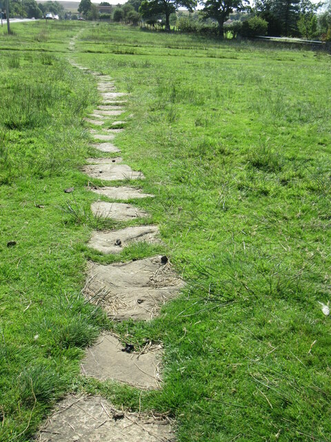
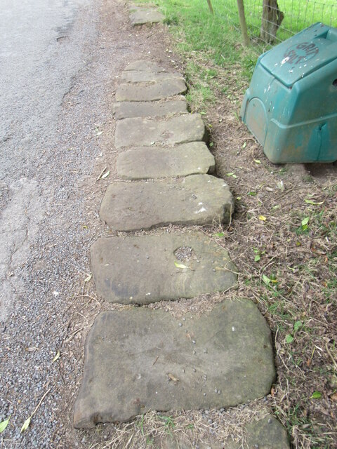
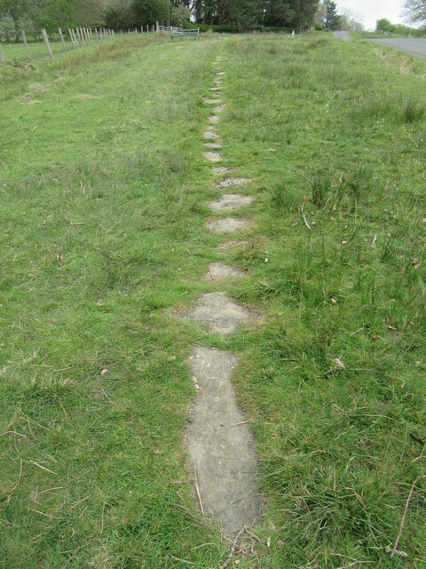
Visitors to Blue Bell Wood can enjoy a network of well-maintained walking trails that wind through the trees, allowing them to explore the area at their own pace. The woodland also features picnic areas and benches, providing opportunities for visitors to relax and take in the tranquil surroundings.
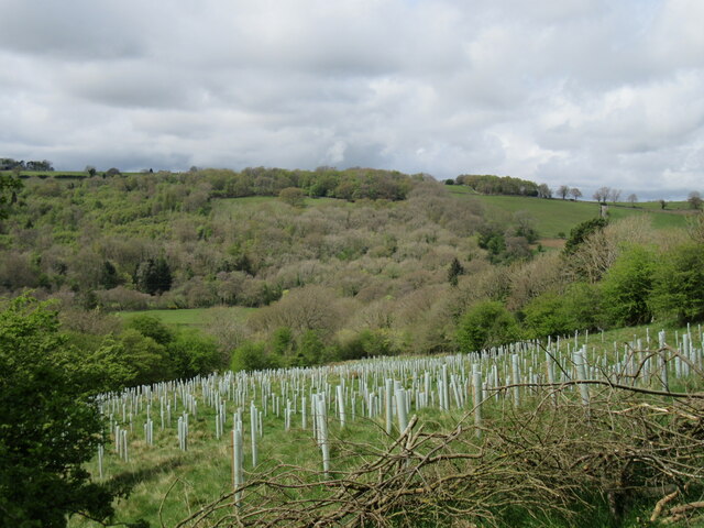
The wood is carefully managed by local authorities to ensure the preservation of its natural habitat. Conservation efforts include controlled burning to promote new growth, removal of invasive species, and periodic thinning of trees to maintain a healthy ecosystem.
Blue Bell Wood offers a peaceful retreat from the hustle and bustle of daily life, providing a haven for both wildlife and humans alike. Its beauty and serenity make it a must-visit destination for anyone seeking a connection with nature in Yorkshire.
If you have any feedback on the listing, please let us know in the comments section below.
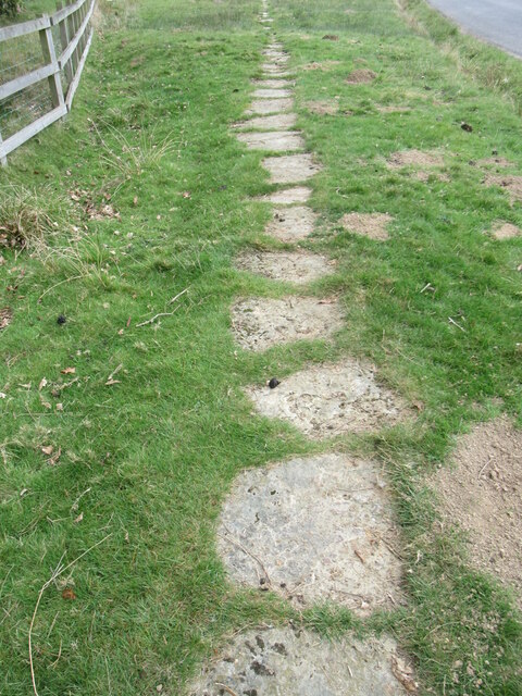
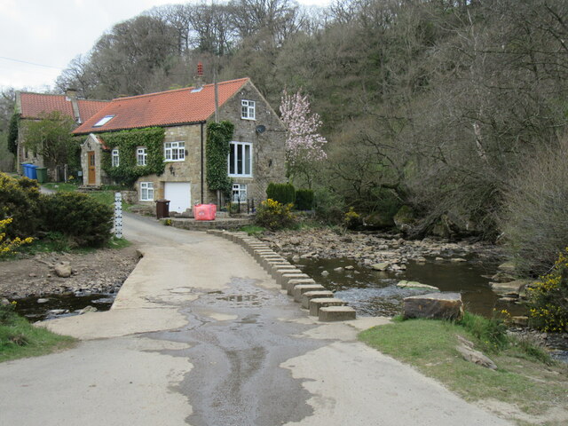
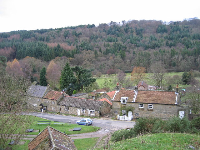
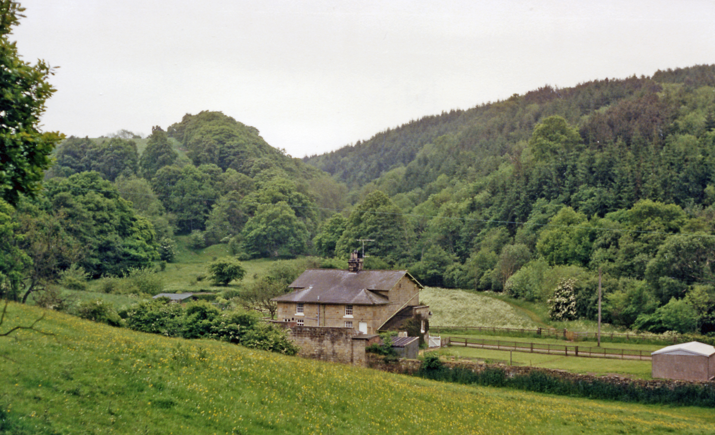
Blue Ber Wood Images
Images are sourced within 2km of 54.411713/-0.7372485 or Grid Reference NZ8202. Thanks to Geograph Open Source API. All images are credited.


Blue Ber Wood is located at Grid Ref: NZ8202 (Lat: 54.411713, Lng: -0.7372485)
Division: North Riding
Administrative County: North Yorkshire
District: Scarborough
Police Authority: North Yorkshire
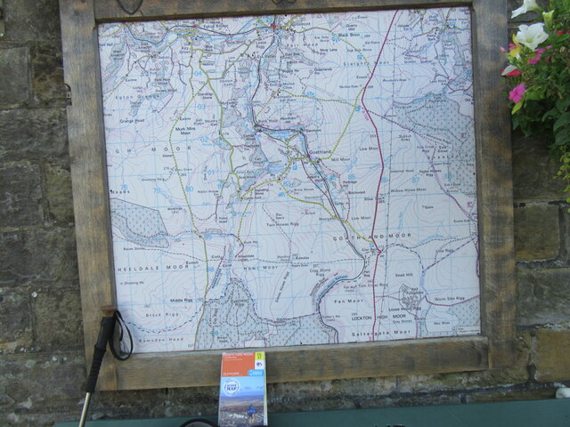
What 3 Words
///converged.symphonic.milder. Near Sleights, North Yorkshire
Nearby Locations
Related Wikis
Beck Hole
Beck Hole is a small valley village in the Borough of Scarborough, North Yorkshire, England. The village lies within the Goathland civil parish and the...

Birch Hall Inn
Birch Hall Inn is a public house founded around 1860 in Beck Hole in the North York Moors, England. It is designated as a Grade II listed building. It...
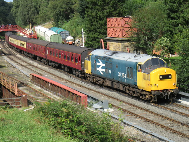
Beckhole railway station
Beckhole railway station was a railway station at Beck Hole in the North Yorkshire Moors on part of the original Whitby and Pickering Railway line. Although...
Beckhole Incline
Beckhole Incline was a steep, rope-worked gradient on the railway line between Whitby and Pickering, in the North Riding of Yorkshire, England. Opened...

Goathland Bank Top railway station
Goathland Bank Top was a short lived, early, railway station in Goathland, North Yorkshire, England. The station at the top of the Beckhole Incline (sometimes...

Mallyan Spout
Mallyan Spout is a waterfall in North Yorkshire, England, the tallest waterfall in the North York Moors. == Geography == The waterfall is located in the...
Goathland
Goathland is a village and civil parish in the Scarborough district of North Yorkshire, England. Historically part of the North Riding of Yorkshire, it...

Goathland railway station
Goathland railway station is a station on the North Yorkshire Moors Railway and serves the village of Goathland in the North York Moors National Park,...
Nearby Amenities
Located within 500m of 54.411713,-0.7372485Have you been to Blue Ber Wood?
Leave your review of Blue Ber Wood below (or comments, questions and feedback).