East Brow Wood
Wood, Forest in Yorkshire Ryedale
England
East Brow Wood
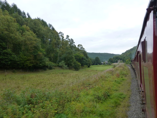
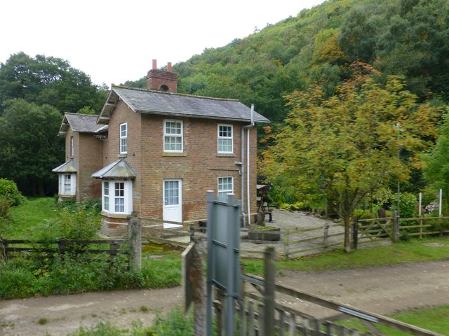
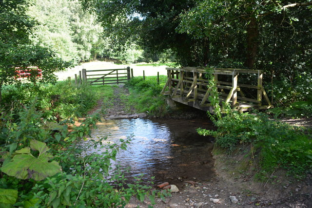
East Brow Wood is a picturesque forest located in the county of Yorkshire, England. Situated on the eastern slope of a hill, this woodland covers an area of approximately 50 acres. It is renowned for its natural beauty and diverse range of flora and fauna.
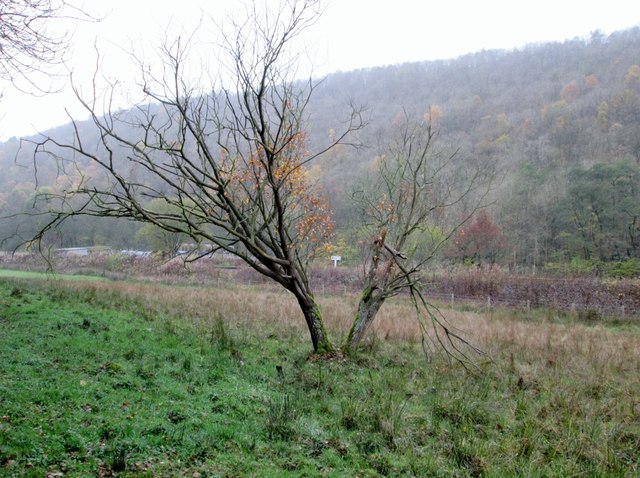
The woodland is predominantly made up of deciduous trees, including oak, beech, and ash, which create a stunning canopy during the summer months. The forest floor is carpeted with a variety of wildflowers, such as bluebells and primroses, adding to the charm of the landscape.
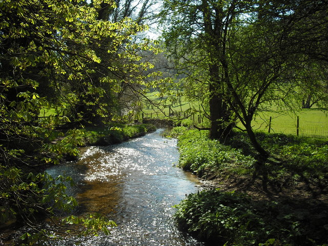
East Brow Wood is a haven for wildlife enthusiasts, as it is home to a wide range of animal species. Visitors may be lucky enough to spot deer, squirrels, badgers, and numerous bird species, including woodpeckers and owls. The forest provides a rich habitat for these creatures, offering shelter and a plentiful supply of food.
In addition to its natural beauty, the woodland offers several walking trails, allowing visitors to explore its hidden gems. The well-maintained paths wind through the forest, offering stunning views of the surrounding countryside. These trails are suitable for all ages and abilities, making East Brow Wood an ideal destination for families and nature lovers alike.
For those seeking a tranquil escape from the hustle and bustle of everyday life, East Brow Wood provides the perfect retreat. The peaceful atmosphere and stunning scenery make it an idyllic location to reconnect with nature and enjoy the beauty of Yorkshire's countryside.
If you have any feedback on the listing, please let us know in the comments section below.
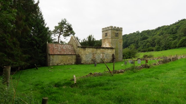
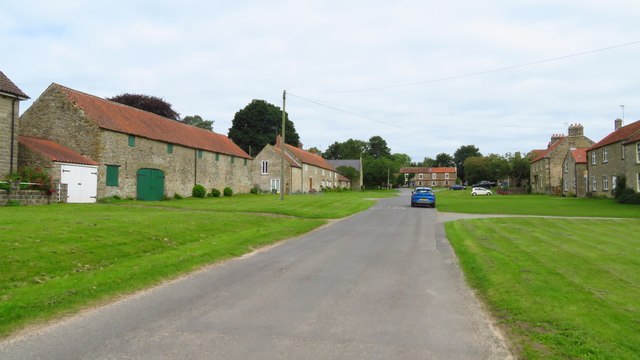
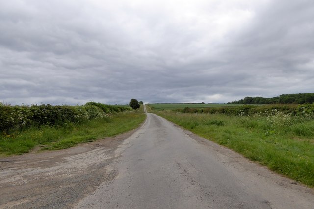
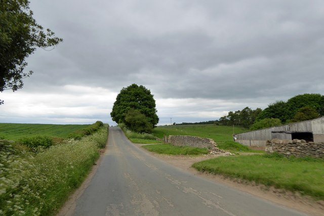
East Brow Wood Images
Images are sourced within 2km of 54.298047/-0.74185056 or Grid Reference SE8189. Thanks to Geograph Open Source API. All images are credited.


East Brow Wood is located at Grid Ref: SE8189 (Lat: 54.298047, Lng: -0.74185056)
Division: North Riding
Administrative County: North Yorkshire
District: Ryedale
Police Authority: North Yorkshire
What 3 Words
///brilliant.sadly.lays. Near Pickering, North Yorkshire
Nearby Locations
Related Wikis

Newton-on-Rawcliffe
Newton-on-Rawcliffe is a village and civil parish (as Newton) in North Yorkshire, England. It is in the North York Moors National Park, 4 miles (6.4 km...
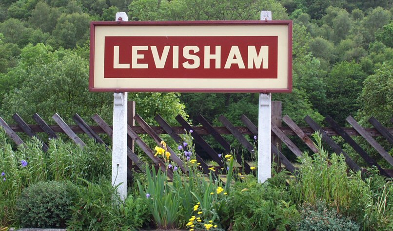
Levisham railway station
Levisham railway station is a station on the North Yorkshire Moors Railway and serves the village of Levisham in the North York Moors National Park, North...

Levisham
Levisham is a small village and civil parish in North Yorkshire, England, located within the North York Moors National Park about 5 miles (8 km) north...

Lockton
Lockton is a small village and civil parish in North Yorkshire, England. It is situated in the North York Moors about 4 miles (6.4 km) north-east of Pickering...
Cawthorne Camp
Cawthorne Camp (sometimes spelled "Cawthorn") is a Roman site in north-east England, about 4 miles (6 km) north of Pickering, North Yorkshire. The well...

14–18 NOW
14–18 NOW was the UK's arts programme for the First World War centenary. Working with arts and heritage partners all across the UK, the programme commissioned...

Stape
Stape is a hamlet and civil parish in the Ryedale district of North Yorkshire, England. At the 2011 Census the population was less than 100; details are...

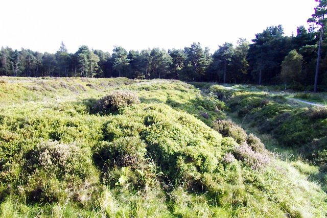
Hole of Horcum
The Hole of Horcum is a section of the valley of the Levisham Beck, upstream of Levisham and Lockton, in the Tabular Hills of the North York Moors National...
Nearby Amenities
Located within 500m of 54.298047,-0.74185056Have you been to East Brow Wood?
Leave your review of East Brow Wood below (or comments, questions and feedback).