Pilridden Copse
Wood, Forest in Hampshire Hart
England
Pilridden Copse
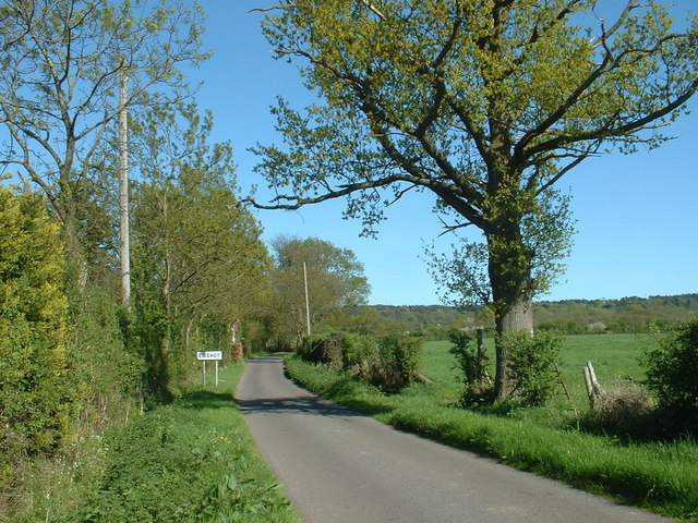
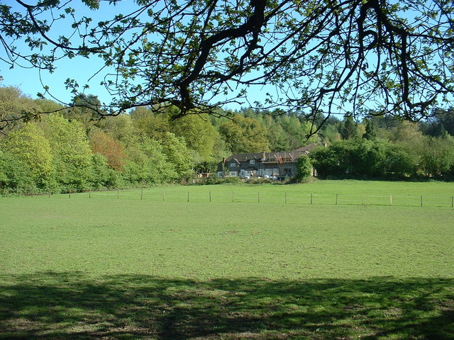
Pilridden Copse is a picturesque woodland located in Hampshire, England. Spread across an area of approximately 50 acres, it is a popular destination for nature enthusiasts, hikers, and wildlife lovers. The copse is situated near the village of Pilridden, which gives it its name.
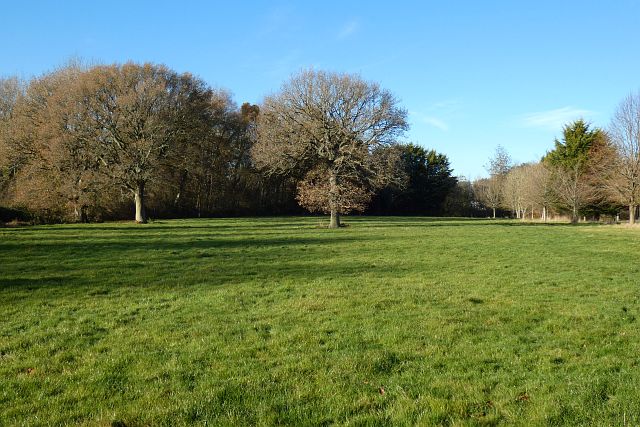
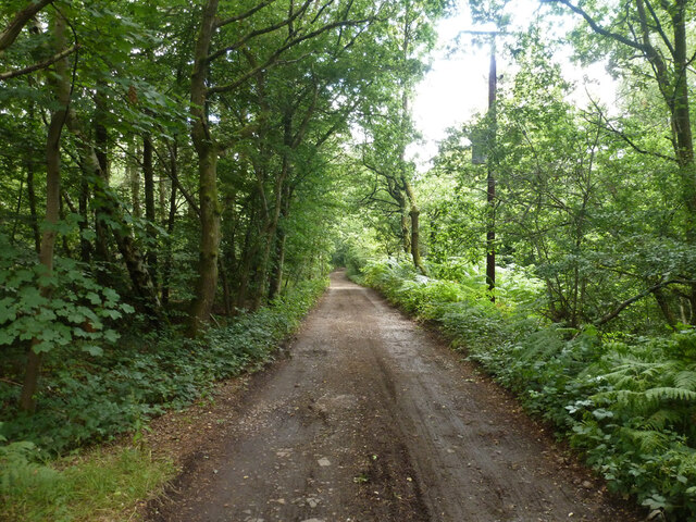
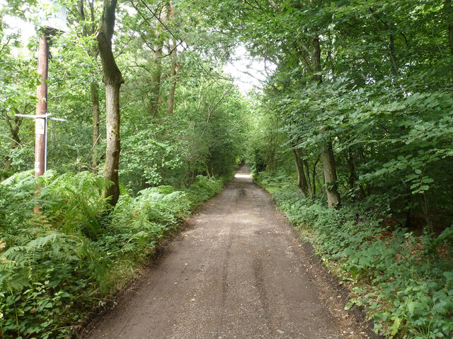
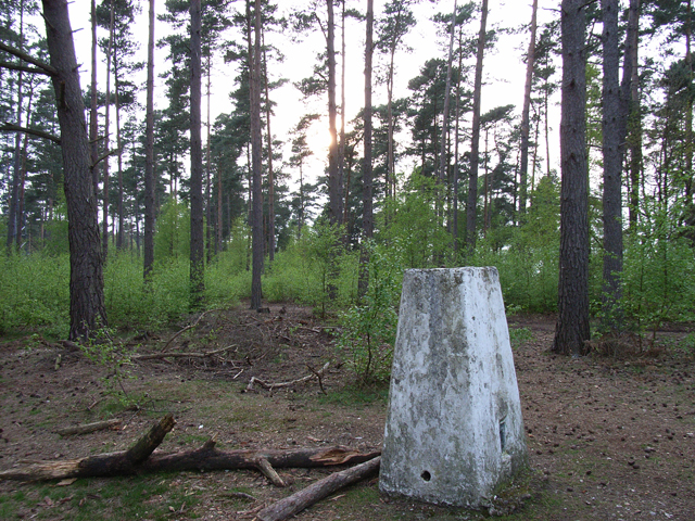
The woodland is predominantly composed of oak, beech, and chestnut trees, creating a diverse and vibrant ecosystem. The dense canopy provides ample shade and shelter for a variety of plants and animals. Bluebells, primroses, and ferns carpet the forest floor during the spring, adding to its natural beauty.
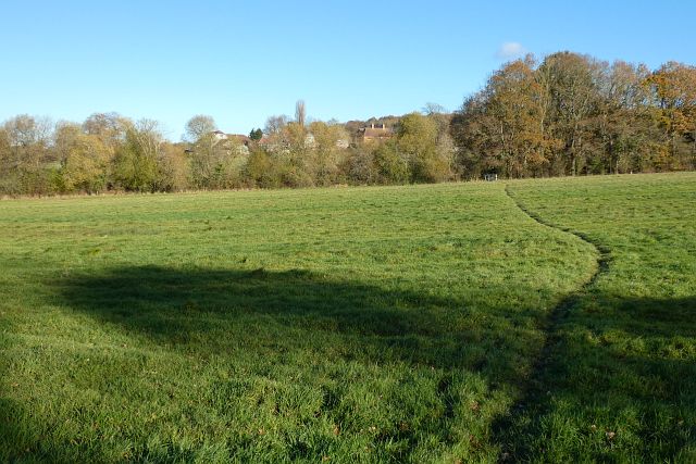
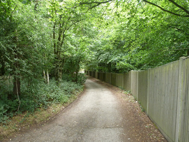
Pilridden Copse is known for its tranquility and peaceful ambiance, making it an ideal retreat from the bustling city life. The well-maintained footpaths wind through the woodland, offering visitors the opportunity to explore its hidden treasures. Along the trails, one can find wooden benches and picnic spots, allowing visitors to relax and enjoy the serene surroundings.
The copse is home to a rich array of wildlife, including deer, badgers, foxes, and a wide range of bird species. It is a haven for birdwatchers, who can spot woodpeckers, owls, and various songbirds in their natural habitat. The biodiversity of Pilridden Copse is further enhanced by the presence of small streams and ponds, which attract amphibians and insects.
The copse is open to the public year-round and is managed by the local forestry commission. Admission is free, and there are ample parking facilities available nearby. Whether it's a leisurely stroll, a family picnic, or birdwatching, Pilridden Copse offers a peaceful and enriching experience for visitors of all ages.
If you have any feedback on the listing, please let us know in the comments section below.
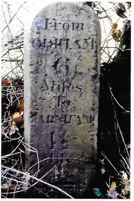
Pilridden Copse Images
Images are sourced within 2km of 51.245974/-0.82861431 or Grid Reference SU8150. Thanks to Geograph Open Source API. All images are credited.


Pilridden Copse is located at Grid Ref: SU8150 (Lat: 51.245974, Lng: -0.82861431)
Administrative County: Hampshire
District: Hart
Police Authority: Hampshire
What 3 Words
///ideas.lays.toasters. Near Crondall, Hampshire
Nearby Locations
Related Wikis
Ewshot
Ewshot is a village and civil parish in Hampshire, England. It lies in the north east of the county, close to the Surrey border. The name Ewshot comes...
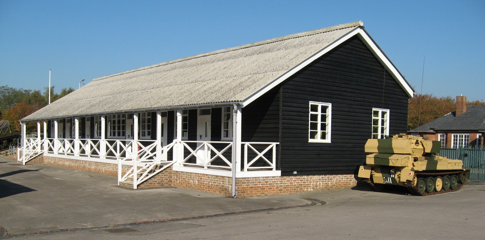
Queen Elizabeth Barracks, Church Crookham
Queen Elizabeth Barracks was a military installation at Church Crookham, Hampshire, England. == History == The barracks, which were originally known as...
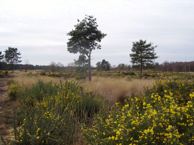
Castle Bottom to Yateley and Hawley Commons
Castle Bottom to Yateley and Hawley Commons is a 922.7-hectare (2,280-acre) biological Site of Special Scientific Interest north of Fleet in Hampshire...
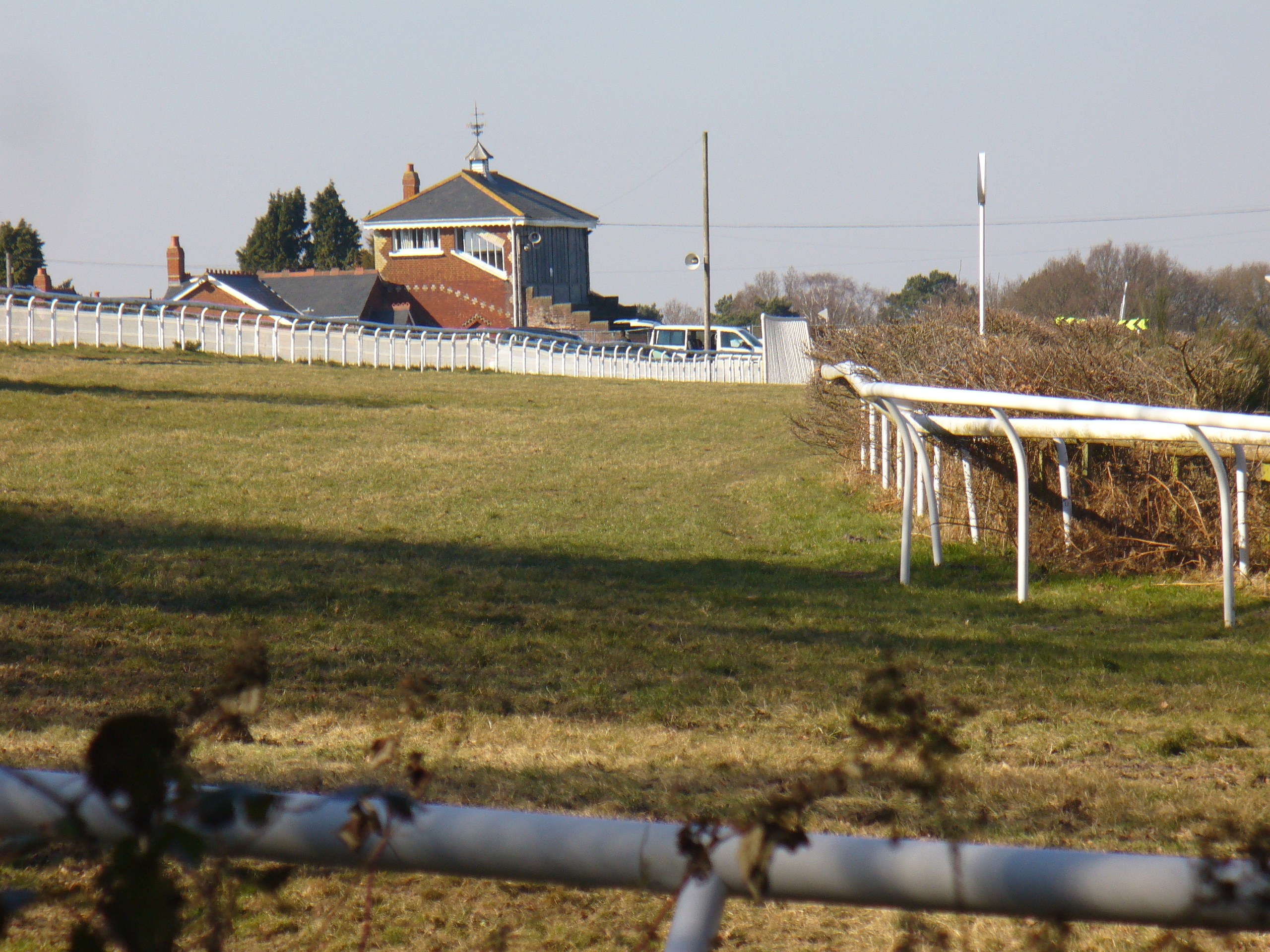
Tweseldown Racecourse
Tweseldown Racecourse southeast of Fleet, Hampshire was originally a National Hunt steeplechasing venue and the home of the equestrian dressage and eventing...

Caesar's Camp, Rushmoor and Waverley
Caesar's Camp is an Iron Age hill fort straddling the border of the counties of Surrey and Hampshire in southern England. The fort straddles the borough...

St Nicholas' School, Hampshire
St Nicholas' School is a private day school for girls in Church Crookham, a village at the southern edge of Fleet, Hampshire, England. The school educates...

Bourley and Long Valley
Bourley and Long Valley is a 823.5-hectare (2,035-acre) biological Site of Special Scientific Interest between Fleet and Aldershot in Hampshire. It is...
Church Crookham
Church Crookham is a large suburban village and civil parish, contiguous with the town of Fleet, in northeast Hampshire, England. It is 38 miles (61 km...
Nearby Amenities
Located within 500m of 51.245974,-0.82861431Have you been to Pilridden Copse?
Leave your review of Pilridden Copse below (or comments, questions and feedback).