Dent's Spinney
Wood, Forest in Leicestershire Harborough
England
Dent's Spinney
Dent's Spinney is a serene woodland located in Leicestershire, England. Spanning across a sprawling area, it is a prime example of the region's natural beauty and offers a tranquil escape for nature enthusiasts and explorers alike. The forest is situated near the small village of Wood and is aptly named after the Dent family, who have owned the land for generations.
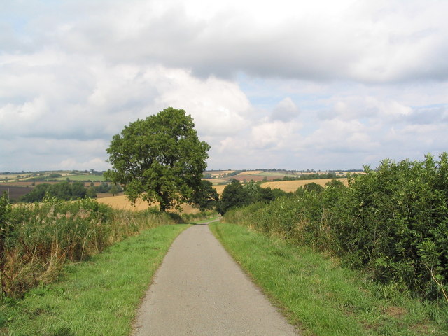
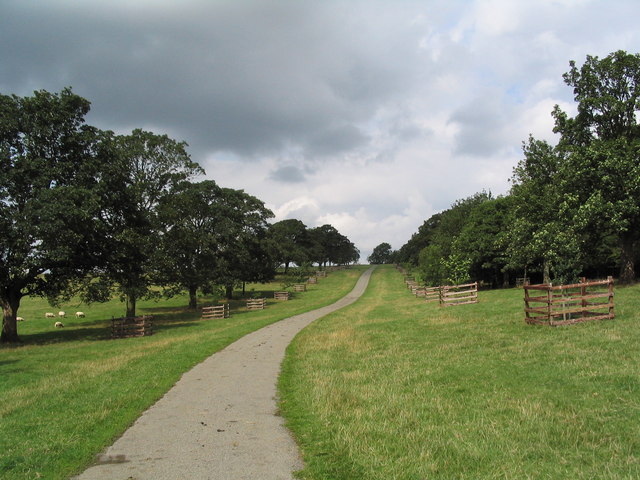
This enchanting woodland is characterized by its dense canopy of trees, predominantly consisting of oak, ash, and beech, which creates a cool and shaded atmosphere even during the summer months. The forest floor is adorned with a vibrant carpet of wildflowers, ferns, and moss, providing a picturesque backdrop for visitors to enjoy. Numerous well-maintained footpaths wind their way through the Spinney, allowing visitors to immerse themselves in the natural surroundings and discover hidden treasures along the way.
The diverse wildlife inhabiting Dent's Spinney adds to its allure as a nature lover's paradise. Bird watchers can spot a variety of species, including woodpeckers, owls, and various songbirds. Small mammals like squirrels, rabbits, and foxes are also commonly spotted, while lucky visitors may catch a glimpse of elusive deer or even a badger.
Dent's Spinney offers a range of recreational activities for visitors to partake in. Hiking, jogging, and cycling are popular pursuits, with designated trails catering to different skill levels. Additionally, the forest provides an excellent setting for picnics and nature photography, with several scenic spots offering panoramic views and peaceful seclusion.
Overall, Dent's Spinney in Leicestershire is a captivating woodland oasis, offering a haven of tranquility and natural beauty for all who venture within its borders.
If you have any feedback on the listing, please let us know in the comments section below.
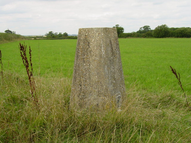
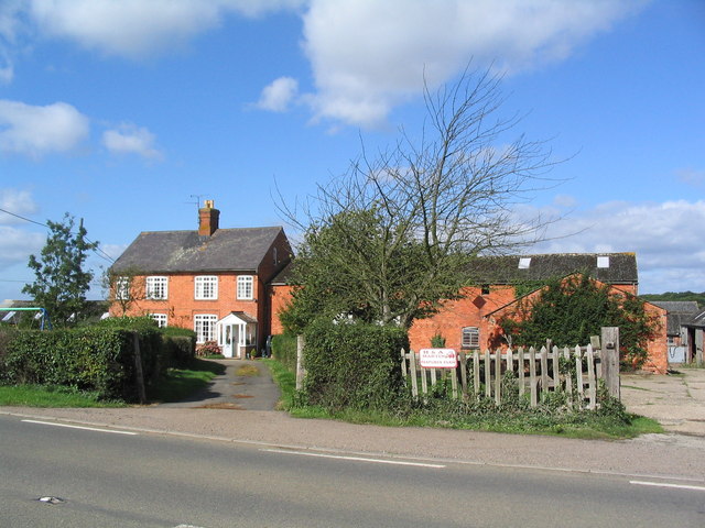
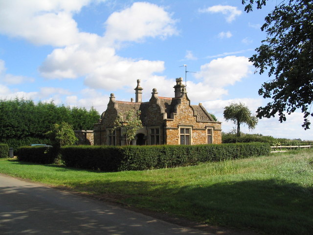
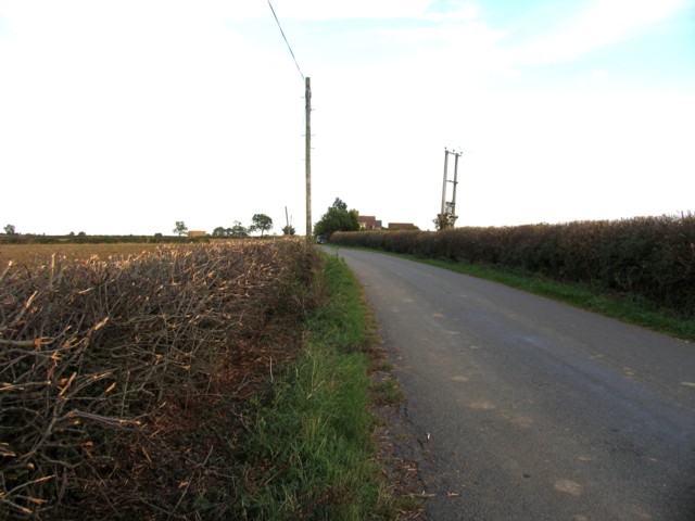
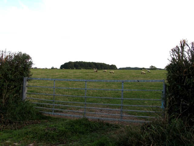
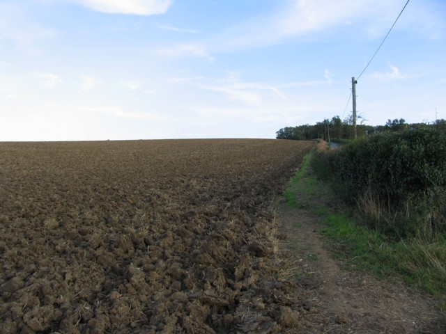
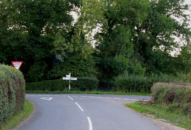
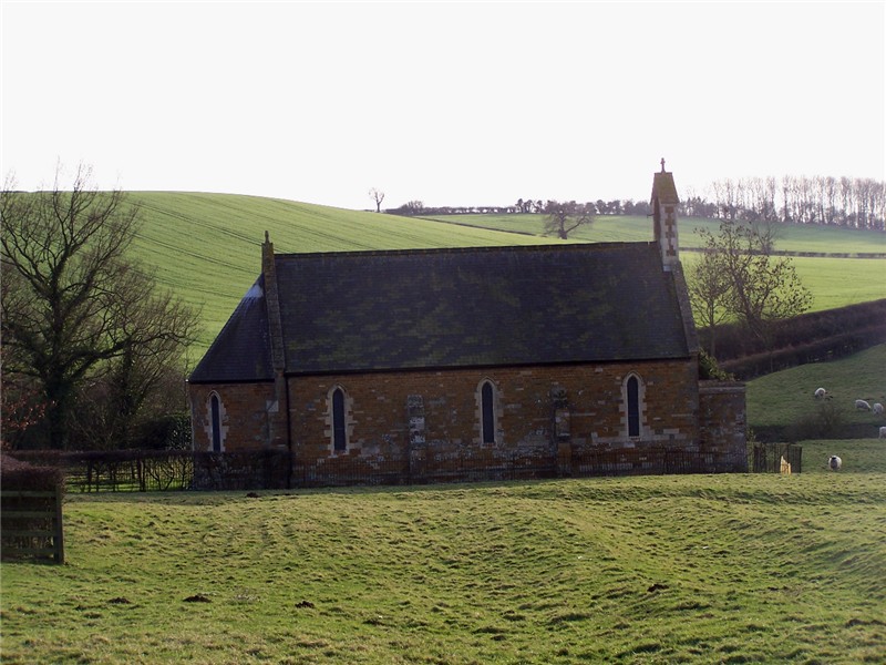
Dent's Spinney Images
Images are sourced within 2km of 52.549903/-0.79484297 or Grid Reference SP8195. Thanks to Geograph Open Source API. All images are credited.


Dent's Spinney is located at Grid Ref: SP8195 (Lat: 52.549903, Lng: -0.79484297)
Administrative County: Leicestershire
District: Harborough
Police Authority: Leicestershire
What 3 Words
///chest.stun.barn. Near Cottingham, Northamptonshire
Nearby Locations
Related Wikis

Bradley Priory
Bradley Priory was an Augustinian priory in the parish of Nevill Holt, Leicestershire, England. == History == The priory was founded between 1220 and 1234...
Blaston
Blaston is a village and civil parish in the Harborough district of Leicestershire. It is a small parish with a population of 54 according to the 2001...

St Giles' Church, Blaston
St Giles' Church is a church in Blaston, Leicestershire. It is a Grade II listed building. == History == The current church was built in 1878, to the design...

Horninghold
Horninghold is a small village and parish seven miles north-east of Market Harborough in the county of Leicestershire. The population of the civil parish...
Nearby Amenities
Located within 500m of 52.549903,-0.79484297Have you been to Dent's Spinney?
Leave your review of Dent's Spinney below (or comments, questions and feedback).